|
Cyclone
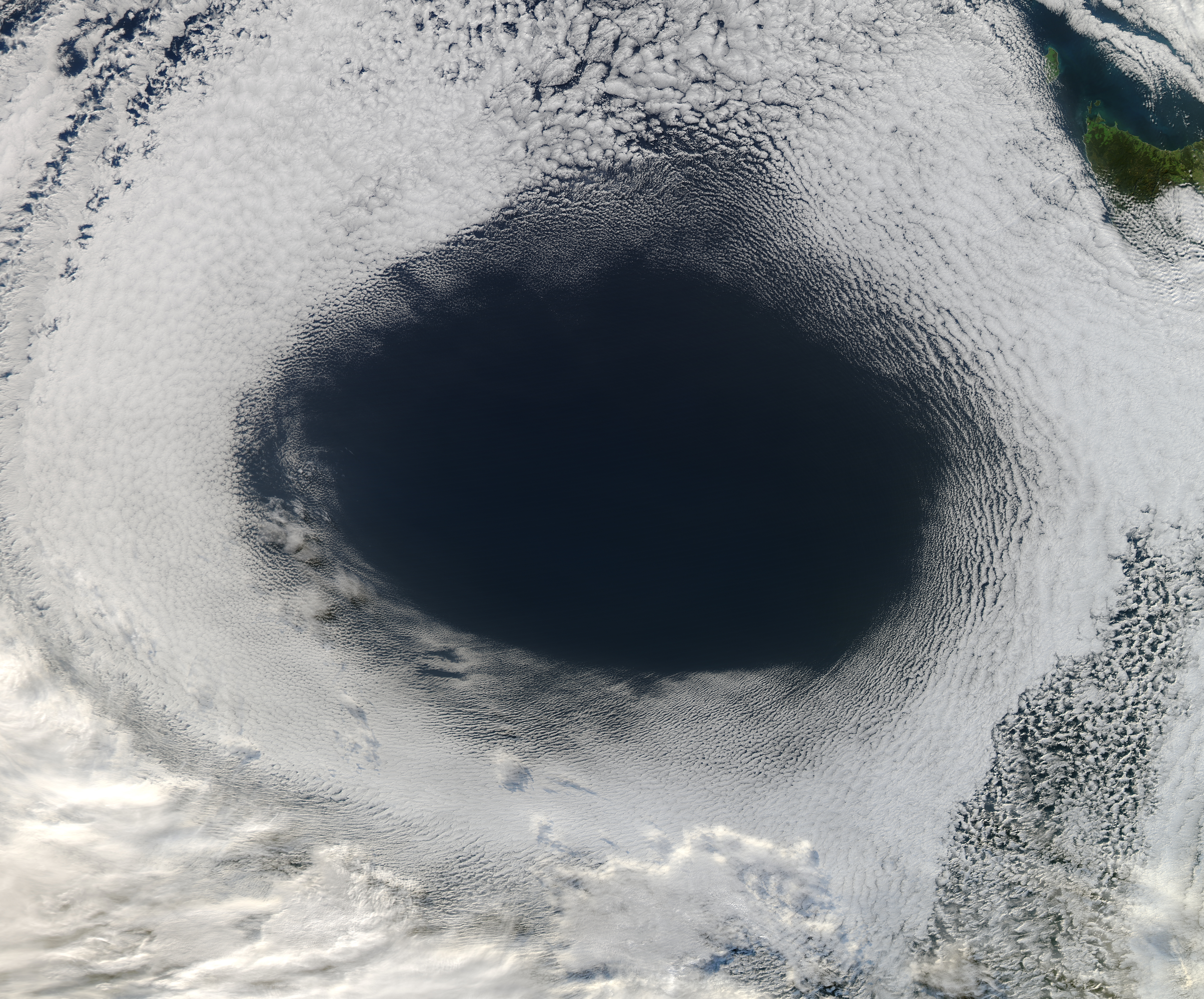
In meteorology, a cyclone () is a large air mass that rotates around a strong center of low atmospheric pressure, counterclockwise in the Northern Hemisphere and clockwise in the Southern Hemisphere as viewed from above (opposite to an anticyclone). Cyclones are characterized by inward-spiraling winds that rotate about a zone of low pressure. The largest low-pressure systems are polar vortices and extratropical cyclones of the largest scale (the synoptic scale). Warm-core cyclones such as tropical cyclones and subtropical cyclones also lie within the synoptic scale. Mesocyclones, tornadoes, and dust devils lie within smaller mesoscale. Upper level cyclones can exist without the presence of a surface low, and can pinch off from the base of the tropical upper tropospheric trough during the summer months in the Northern Hemisphere. Cyclones have also been seen on extraterrestrial planets, such as Mars, Jupiter, and Neptune. Cyclogenesis is the process of cyclone formation and ... [...More Info...] [...Related Items...] OR: [Wikipedia] [Google] [Baidu] |
Tropical Cyclone
A tropical cyclone is a rapidly rotating storm system characterized by a low-pressure center, a closed low-level atmospheric circulation, strong winds, and a spiral arrangement of thunderstorms that produce heavy rain and squalls. Depending on its location and strength, a tropical cyclone is referred to by different names, including hurricane (), typhoon (), tropical storm, cyclonic storm, tropical depression, or simply cyclone. A hurricane is a strong tropical cyclone that occurs in the Atlantic Ocean or northeastern Pacific Ocean, and a typhoon occurs in the northwestern Pacific Ocean. In the Indian Ocean, South Pacific, or (rarely) South Atlantic, comparable storms are referred to simply as "tropical cyclones", and such storms in the Indian Ocean can also be called "severe cyclonic storms". "Tropical" refers to the geographical origin of these systems, which form almost exclusively over tropical seas. "Cyclone" refers to their winds moving in a circle, whirling round ... [...More Info...] [...Related Items...] OR: [Wikipedia] [Google] [Baidu] |
Extratropical Cyclone
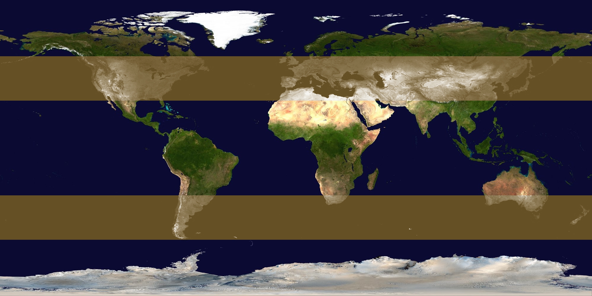
Extratropical cyclones, sometimes called mid-latitude cyclones or wave cyclones, are low-pressure areas which, along with the anticyclones of high-pressure areas, drive the weather over much of the Earth. Extratropical cyclones are capable of producing anything from cloudiness and mild showers to severe gales, thunderstorms, blizzards, and tornadoes. These types of cyclones are defined as large scale (synoptic) low pressure weather systems that occur in the middle latitudes of the Earth. In contrast with tropical cyclones, extratropical cyclones produce rapid changes in temperature and dew point along broad lines, called weather fronts, about the center of the cyclone. Terminology The term " cyclone" applies to numerous types of low pressure areas, one of which is the extratropical cyclone. The descriptor ''extratropical'' signifies that this type of cyclone generally occurs outside the tropics and in the middle latitudes of Earth between 30° and 60° latitude. They are term ... [...More Info...] [...Related Items...] OR: [Wikipedia] [Google] [Baidu] |
Extratropical Cyclones
Extratropical cyclones, sometimes called mid-latitude cyclones or wave cyclones, are low-pressure areas which, along with the anticyclones of high-pressure areas, drive the weather over much of the Earth. Extratropical cyclones are capable of producing anything from cloudiness and mild rain, showers to severe gales, thunderstorms, blizzards, and tornadoes. These types of cyclones are defined as Synoptic scale meteorology, large scale (synoptic) low pressure weather systems that occur in the middle latitudes of the Earth. In contrast with tropical cyclones, extratropical cyclones produce rapid changes in temperature and dew point along broad lines, called weather fronts, about the center of the cyclone. Terminology The term "cyclone" applies to numerous types of low pressure areas, one of which is the extratropical cyclone. The descriptor ''extratropical'' signifies that this type of cyclone generally occurs outside the tropics and in the middle latitudes of Earth between 30° a ... [...More Info...] [...Related Items...] OR: [Wikipedia] [Google] [Baidu] |
Subtropical Cyclone
A subtropical cyclone is a weather system that has some characteristics of both tropical cyclone, tropical and an extratropical cyclone. As early as the 1950s, meteorologists were uncertain whether they should be characterized as Tropical cyclone, tropical or Extratropical cyclone, extratropical cyclones. They were officially recognized and titled by the National Hurricane Center in 1972. Beginning in 2002, subtropical cyclones received names from the official tropical cyclone lists in the North Atlantic hurricane, North Atlantic, South-West Indian Ocean tropical cyclone, South-west Indian Ocean, and South Atlantic tropical cyclone, South Atlantic basins. There are two definitions currently used for subtropical cyclones depending on their location. Across the north Atlantic and southwest Indian Ocean, they require some central Convectional Precipitation, convection fairly near the center surrounding a warming core existing in the mid-levels of the troposphere. Across the eastern ... [...More Info...] [...Related Items...] OR: [Wikipedia] [Google] [Baidu] |
Low-pressure Area
In meteorology, a low-pressure area, low area or low is a region where the atmospheric pressure is lower than that of surrounding locations. Low-pressure areas are commonly associated with inclement weather (such as cloudy, windy, with possible rain or storms), while high-pressure areas are associated with lighter winds and clear skies. Winds circle anti-clockwise around lows in the northern hemisphere, and clockwise in the southern hemisphere, due to opposing Coriolis force, Coriolis forces. Low-pressure systems form under areas of wind divergence that occur in the upper levels of the Atmosphere of Earth, atmosphere (aloft). The formation process of a low-pressure area is known as cyclogenesis. In Meteorology#Dynamic meteorology, meteorology, atmospheric divergence aloft occurs in two kinds of places: * The first is in the area on the east side of upper Trough (meteorology), troughs, which form half of a Rossby wave within the Westerlies (a trough (meteorology), trough with la ... [...More Info...] [...Related Items...] OR: [Wikipedia] [Google] [Baidu] |
Cyclogenesis
Cyclogenesis is the development or strengthening of cyclonic circulation in the atmosphere (a low-pressure area). Cyclogenesis is an umbrella term for at least three different processes, all of which result in the development of some sort of cyclone, and at any size from the microscale to the synoptic scale. * Tropical cyclones form due to latent heat driven by significant thunderstorm activity, developing a warm core. * Extratropical cyclones form as waves along weather fronts before occluding later in their life cycle as cold core cyclones. * Mesocyclones form as warm core cyclones over land, and can lead to tornado formation. Waterspouts can also form from mesocyclones, but more often develop from environments of high instability and low vertical wind shear. The process in which an extratropical cyclone undergoes a rapid drop in atmospheric pressure (24 millibars or more) in a 24-hour period is referred to as explosive cyclogenesis, and is usually present during the formation ... [...More Info...] [...Related Items...] OR: [Wikipedia] [Google] [Baidu] |
Synoptic Scale
The synoptic scale in meteorology (also known as large scale or cyclonic scale) is a horizontal length scale of the order of 1000 kilometers (about 620 miles) or more. This corresponds to a horizontal scale typical of mid-latitude depressions (e.g., extratropical cyclones). Most high- and low-pressure areas seen on weather maps (such as surface weather analyses) are synoptic-scale systems, driven by the location of Rossby waves in their respective hemisphere. Low-pressure areas and their related frontal zones occur on the leading edge of a trough within the Rossby wave pattern, while high-pressure areas form on the back edge of the trough. Most precipitation areas occur near frontal zones. The word ''synoptic'' is derived from the Greek word ('), meaning ''seen together''. The Navier–Stokes equations applied to atmospheric motion can be simplified by scale analysis in the synoptic scale. It can be shown that the main terms in horizontal equations are Coriolis force and p ... [...More Info...] [...Related Items...] OR: [Wikipedia] [Google] [Baidu] |
Meteorology
Meteorology is a branch of the atmospheric sciences (which include atmospheric chemistry and physics) with a major focus on weather forecasting. The study of meteorology dates back millennia, though significant progress in meteorology did not begin until the 18th century. The 19th century saw modest progress in the field after weather observation networks were formed across broad regions. Prior attempts at prediction of weather depended on historical data. It was not until after the elucidation of the laws of physics, and more particularly in the latter half of the 20th century the development of the computer (allowing for the automated solution of a great many modelling equations) that significant breakthroughs in weather forecasting were achieved. An important branch of weather forecasting is marine weather forecasting as it relates to maritime and coastal safety, in which weather effects also include atmospheric interactions with large bodies of water. Meteorological pheno ... [...More Info...] [...Related Items...] OR: [Wikipedia] [Google] [Baidu] |
Tornado
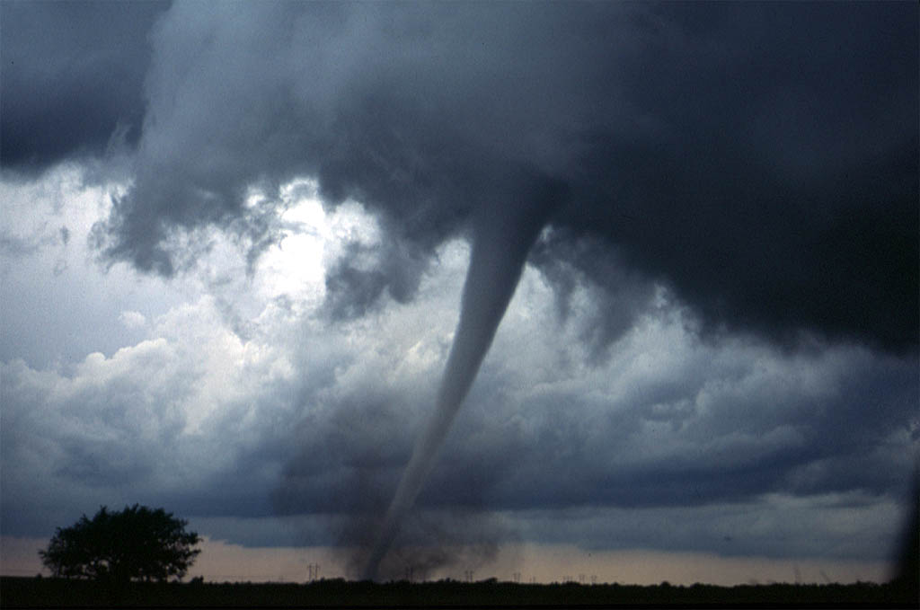
A tornado is a violently rotating column of air that is in contact with both the surface of the Earth and a cumulonimbus cloud or, in rare cases, the base of a cumulus cloud. It is often referred to as a twister, whirlwind or cyclone, although the word cyclone is used in meteorology to name a weather system with a low-pressure area in the center around which, from an observer looking down toward the surface of the Earth, winds blow counterclockwise in the Northern Hemisphere and clockwise in the Southern. Tornadoes come in many shapes and sizes, and they are often visible in the form of a condensation funnel originating from the base of a cumulonimbus cloud, with a cloud of rotating debris and dust beneath it. Most tornadoes have wind speeds less than , are about across, and travel several kilometers (a few miles) before dissipating. The most extreme tornadoes can attain wind speeds of more than , are more than in diameter, and stay on the ground for more than 100 k ... [...More Info...] [...Related Items...] OR: [Wikipedia] [Google] [Baidu] |
Anticyclone
An anticyclone is a weather phenomenon defined as a large-scale circulation of winds around a central region of high atmospheric pressure, clockwise in the Northern Hemisphere and counterclockwise in the Southern Hemisphere as viewed from above (opposite to a cyclone). Effects of surface-based anticyclones include clearing skies as well as cooler, drier air. Fog can also form overnight within a region of higher pressure. Mid-tropospheric systems, such as the subtropical ridge, deflect tropical cyclones around their periphery and cause a temperature inversion inhibiting free convection near their center, building up surface-based haze under their base. Anticyclones aloft can form within warm-core lows such as tropical cyclones, due to descending cool air from the backside of upper troughs such as polar highs, or from large-scale sinking such as a subtropical ridge. The evolution of an anticyclone depends upon variables such as its size, intensity, and extent of moist con ... [...More Info...] [...Related Items...] OR: [Wikipedia] [Google] [Baidu] |
Tropical Upper Tropospheric Trough
A tropical upper tropospheric trough (TUTT), also known as the mid-oceanic trough, is a trough situated in the upper-level (at about 200 hPa) tropics. Its formation is usually caused by the intrusion of energy and wind from the mid-latitudes into the tropics. It can also develop from the inverted trough adjacent to an upper level anticyclone. TUTTs are different from mid-latitude troughs in the sense that they are maintained by subsidence warming near the tropopause which balances radiational cooling. When strong, they can present a significant vertical wind shear to the tropics and subdue tropical cyclogenesis. When upper cold lows break off from their base, they tend to retrograde and force the development of, or enhance, surface troughs and tropical waves to their east. Under special circumstances, they can induce thunderstorm activity and lead to the formation of tropical cyclones. Location The TUTT is elongated from east-northeast to west-southwest across oceans of the North ... [...More Info...] [...Related Items...] OR: [Wikipedia] [Google] [Baidu] |
Baroclinity
In fluid dynamics, the baroclinity (often called baroclinicity) of a stratified fluid is a measure of how misaligned the gradient of pressure is from the gradient of density in a fluid. In meteorology a baroclinic flow is one in which the density depends on both temperature and pressure (the fully general case). A simpler case, barotropic flow, allows for density dependence only on pressure, so that the curl of the pressure-gradient force vanishes. Baroclinity is proportional to: :\nabla p \times \nabla \rho which is proportional to the sine of the angle between surfaces of constant pressure and surfaces of constant density. Thus, in a ''barotropic'' fluid (which is defined by zero baroclinity), these surfaces are parallel. In Earth's atmosphere, barotropic flow is a better approximation in the tropics, where density surfaces and pressure surfaces are both nearly level, whereas in higher latitudes the flow is more baroclinic. These midlatitude belts of high atmospheric ba ... [...More Info...] [...Related Items...] OR: [Wikipedia] [Google] [Baidu] |


