|
Oltenia
Oltenia (, also called Lesser Wallachia in antiquated versions, with the alternative Latin names ''Wallachia Minor'', ''Wallachia Alutana'', ''Wallachia Caesarea'' between 1718 and 1739) is a historical province and geographical region of Romania in western Wallachia. It is situated between the Danube, the Southern Carpathians and the Olt river. History Ancient times Initially inhabited by Dacians, Oltenia was incorporated in the Roman Empire (106, at the end of the Dacian Wars; ''see Roman Dacia''). In 129, during Hadrian's rule, it formed Dacia Inferior, one of the two divisions of the province (together with Dacia Superior, in today's Transylvania); Marcus Aurelius' administrative reform made Oltenia one of the three new divisions (''tres Daciae'') as Dacia Malvensis, its capital and chief city being named Romula. It was colonized with veterans of the Roman legions. The Romans withdrew their administration south of the Danube at the end of the 3rd century and Oltenia wa ... [...More Info...] [...Related Items...] OR: [Wikipedia] [Google] [Baidu] |
Craiova
Craiova (, also , ), is Romania's 6th Cities in Romania, largest city and capital of Dolj County, and situated near the east bank of the river Jiu River, Jiu in central Oltenia. It is a longstanding political center, and is located at approximately equal distances from the Southern Carpathians (north) and the Danube, River Danube (south). Craiova is the chief commercial city west of Bucharest and the most important city of Oltenia. The city prospered as a regional trading centre despite an earthquake in 1790, a plague in 1795, and a Ottoman Empire, Turkish assault in 1802 during which it was burned. Eight villages are administered by the city: Făcăi, Mofleni, Popoveni, Șimnicu de Jos, Cernele, Cernelele de Sus, Izvoru Rece, and Rovine. The last four were a separate commune called ''Cernele'' until 1996, when they were merged into the city. Etymology and names There are two possible etymologies for Craiova: Common Slavonic, Old Slavonic ''wikt:kral, kral'' ("king"), which has be ... [...More Info...] [...Related Items...] OR: [Wikipedia] [Google] [Baidu] |
Wallachia
Wallachia or Walachia (; ro, Țara Românească, lit=The Romanian Land' or 'The Romanian Country, ; archaic: ', Romanian Cyrillic alphabet: ) is a historical and geographical region of Romania. It is situated north of the Lower Danube and south of the Southern Carpathians. Wallachia is traditionally divided into two sections, Muntenia (Greater Wallachia) and Oltenia (Lesser Wallachia). Dobruja could sometimes be considered a third section due to its proximity and Dobruja#Wallachian rule, brief rule over it. Wallachia as a whole is sometimes referred to as Muntenia through identification with the larger of the two traditional sections. Wallachia was founded as a principality in the early 14th century by Basarab I of Wallachia, Basarab I after a rebellion against Charles I of Hungary, although the first mention of the territory of Wallachia west of the river Olt River, Olt dates to a charter given to the voivode Seneslau in 1246 by Béla IV of Hungary. In 1417, Wallachia was fo ... [...More Info...] [...Related Items...] OR: [Wikipedia] [Google] [Baidu] |
Taifals
The Taifals or Tayfals ( la, Taifali, Taifalae or ''Theifali''; french: Taïfales) were a people group of Germanic or Sarmatian origin, first documented north of the lower Danube in the mid third century AD. They experienced an unsettled and fragmented history, for the most part in association with various Gothic peoples, and alternately fighting against or for the Romans. In the late fourth century some Taifali were settled within the Roman Empire, notably in western Gaul in the modern province of Poitou. They subsequently supplied mounted units to the Roman army and continued to be a significant source of cavalry for early Merovingian armies. By the sixth century their region of western Gaul had acquired a distinct identity as ''Thifalia''. Settlement in Oltenia One of the earliest mentions of the Taifals puts them in the following of the Gothic king Cniva when he campaigned in Dacia and Moesia in 250 and the years following. They are sometimes classified as a Germanic tribe c ... [...More Info...] [...Related Items...] OR: [Wikipedia] [Google] [Baidu] |
Roman Dacia
Roman Dacia ( ; also known as Dacia Traiana, ; or Dacia Felix, 'Fertile/Happy Dacia') was a province of the Roman Empire from 106 to 271–275 AD. Its territory consisted of what are now the regions of Oltenia, Transylvania and Banat (today all in Romania, except the last one which is split between Romania, Hungary, and Serbia). During Roman rule, it was organized as an imperial province on the borders of the empire. It is estimated that the population of Roman Dacia ranged from 650,000 to 1,200,000. It was conquered by Trajan (98–117) after two campaigns that devastated the Dacian Kingdom of Decebalus. However, the Romans did not occupy its entirety; Crișana, Maramureș, and most of Moldavia remained under the Free Dacians. After its integration into the empire, Roman Dacia saw constant administrative division. In 119, it was divided into two departments: Dacia Superior ("Upper Dacia") and Dacia Inferior ("Lower Dacia"; later named Dacia Malvensis). Between 124 and aroun ... [...More Info...] [...Related Items...] OR: [Wikipedia] [Google] [Baidu] |
Vâlcea County
Vâlcea County (also spelt ''Vîlcea''; ) is a county ( județ) of Romania. Located in the historical regions of Oltenia and Muntenia (which are separated by the Olt River), it is also part of the wider Wallachia region. Its capital city is Râmnicu Vâlcea. Demographics In 2011, it had a population of 355,320 and the population density was 61.63/km2. * Romanians - over 98% * Roma, others - 2% Geography This county has a total area of . The North side of the county is occupied by the mountains from the Southern Carpathians group - The Făgăraș Mountains in the east with heights over , and the Lotru Mountains in the west with heights over . They are separated by the Olt River valley - the most accessible passage between Transylvania and Muntenia. Along the Olt River Valley there are smaller groups of mountains, the most spectacular being the . Towards the South, the heights decrease, passing through the sub-carpathian hills to a high plain in the West side of the Roma ... [...More Info...] [...Related Items...] OR: [Wikipedia] [Google] [Baidu] |
Banate Of Severin
The Banate of Severin or Banate of Szörény ( hu, Szörényi bánság; ro, Banatul Severinului; la, Banatus Zewrinensis; bg, Северинско банство, ; sr, Северинска бановина, ) was a Hungarian political, military and administrative unit with a special role in the initially anti-Bulgarian, latterly anti- Ottoman defensive system of the medieval Kingdom of Hungary. It was founded by Prince Béla in 1228. Territory The Banate of Severin was a march (or a border province) of the medieval Kingdom of Hungary between the Lower Danube and the Olt River (in present-day Oltenia in Romania). A charter of grant, issued on 2 June 1247 to the Knights Hospitallers, mentioned the Olt as its eastern border. The Knights received the "Land of Severin" ''(Terra de Zeurino)'', along with the nearby mountains, from Béla IV of Hungary. The king had described the same region as a "deserted and depopulated" land in a letter to Pope Gregory IX on 7 June 1238. Moder ... [...More Info...] [...Related Items...] OR: [Wikipedia] [Google] [Baidu] |
Romania
Romania ( ; ro, România ) is a country located at the crossroads of Central Europe, Central, Eastern Europe, Eastern, and Southeast Europe, Southeastern Europe. It borders Bulgaria to the south, Ukraine to the north, Hungary to the west, Serbia to the southwest, Moldova to the east, and the Black Sea to the southeast. It has a predominantly Temperate climate, temperate-continental climate, and an area of , with a population of around 19 million. Romania is the List of European countries by area, twelfth-largest country in Europe and the List of European Union member states by population, sixth-most populous member state of the European Union. Its capital and largest city is Bucharest, followed by Iași, Cluj-Napoca, Timișoara, Constanța, Craiova, Brașov, and Galați. The Danube, Europe's second-longest river, rises in Germany's Black Forest and flows in a southeasterly direction for , before emptying into Romania's Danube Delta. The Carpathian Mountains, which cross Roma ... [...More Info...] [...Related Items...] OR: [Wikipedia] [Google] [Baidu] |
Dacians
The Dacians (; la, Daci ; grc-gre, Δάκοι, Δάοι, Δάκαι) were the ancient Indo-European inhabitants of the cultural region of Dacia, located in the area near the Carpathian Mountains and west of the Black Sea. They are often considered a subgroup of the Thracians. This area includes mainly the present-day countries of Romania and Moldova, as well as parts of Ukraine, Moravian Banovina, Eastern Serbia, Northern Bulgaria, Slovakia, Hungary and Southern Poland. The Dacians and the related Getae spoke the Dacian language, which has a debated relationship with the neighbouring Thracian language and may be a subgroup of it. Dacians were somewhat culturally influenced by the neighbouring Scythians and by the Celtic invasion of the Balkans, Celtic invaders of the 4th century BC. Name and etymology Name The Dacians were known as ''Geta'' (plural ''Getae'') in Ancient Greek writings, and as ''Dacus'' (plural ''Daci'') or ''Getae'' in Roman Empire, Roman documents, b ... [...More Info...] [...Related Items...] OR: [Wikipedia] [Google] [Baidu] |
Horezu Bis Man NE
Horezu is a town located in Vâlcea County, Oltenia, Romania, about 43 km from Râmnicu Vâlcea. The town administers six villages: Ifrimești, Râmești, Romanii de Jos, Romanii de Sus, Tănăsești and Urșani. The town is well known for its people who make pottery and present it at an annual fair (''see Horezu ceramics''). There are special traditions which have been well preserved. The town has slightly over 6,000 inhabitants, most of them working in agriculture and services. Horezu is the site of Horezu Monastery, a World Heritage Site. Natives *Ana Cartianu (1908–2001), academic, essayist, and translator *Lazăr Comănescu (b. 1949), diplomat, Minister of Foreign Affairs * Andrei Popescu (b. 1985), footballer Twin towns - sister cities Horezu is twinned with: * Clervaux Clervaux (; lb, Clierf or (locally) ; german: Clerf) is a commune and town in northern Luxembourg, administrative capital of the canton of Clervaux. The town's arms, granted in 1896, show th ... [...More Info...] [...Related Items...] OR: [Wikipedia] [Google] [Baidu] |
Hadrian
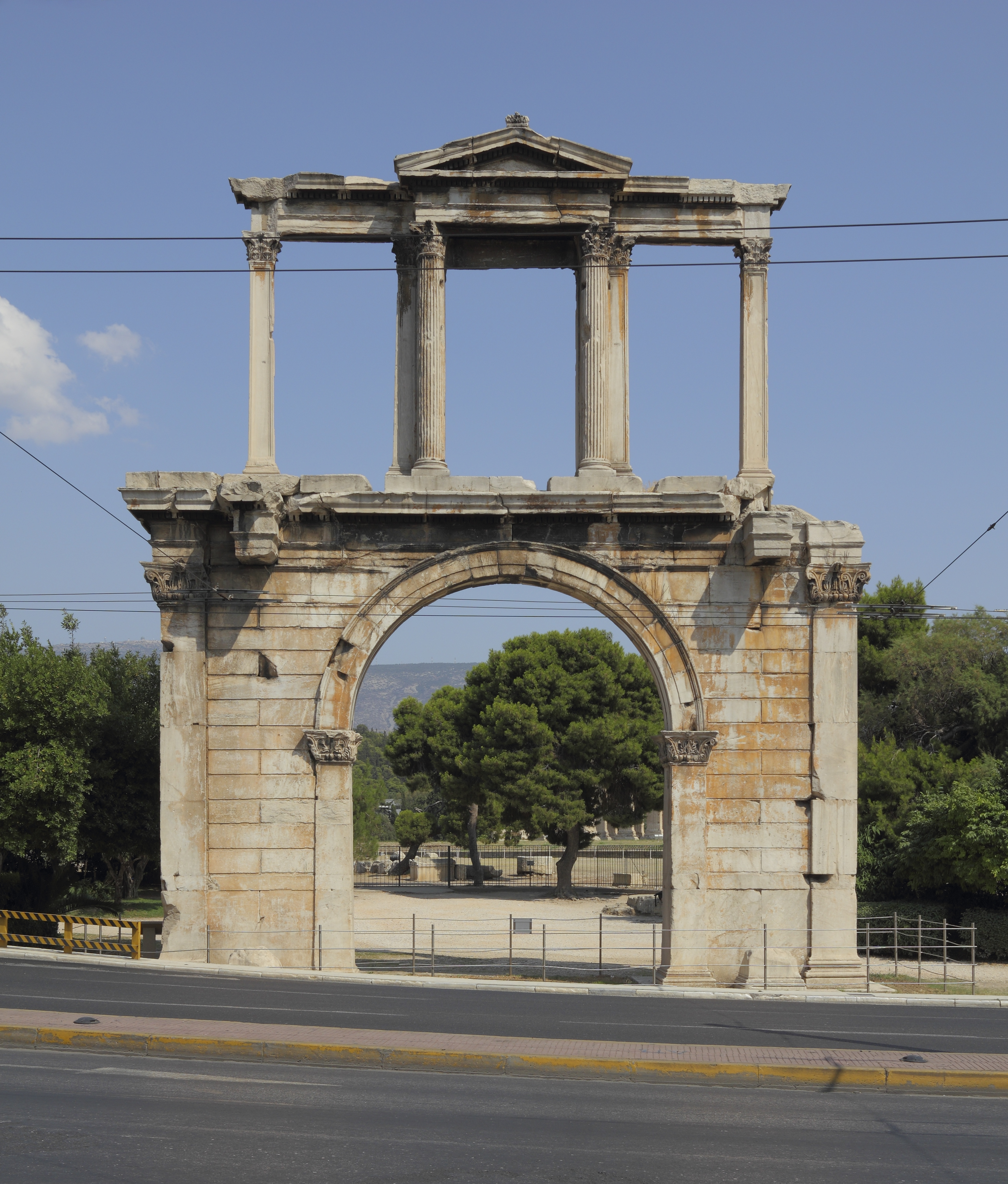
Hadrian (; la, Caesar Trâiānus Hadriānus ; 24 January 76 – 10 July 138) was Roman emperor from 117 to 138. He was born in Italica (close to modern Santiponce in Spain), a Roman ''municipium'' founded by Italic settlers in Hispania Baetica and he came from a branch of the gens Aelia that originated in the Picenean town of Hadria, the ''Aeli Hadriani''. His father was of senatorial rank and was a first cousin of Emperor Trajan. Hadrian married Trajan's grand-niece Vibia Sabina early in his career before Trajan became emperor and possibly at the behest of Trajan's wife Pompeia Plotina. Plotina and Trajan's close friend and adviser Lucius Licinius Sura were well disposed towards Hadrian. When Trajan died, his widow claimed that he had nominated Hadrian as emperor immediately before his death. Rome's military and Senate approved Hadrian's succession, but four leading senators were unlawfully put to death soon after. They had opposed Hadrian or seemed to threaten his s ... [...More Info...] [...Related Items...] OR: [Wikipedia] [Google] [Baidu] |
Historical Regions Of Romania
The historical regions of Romania are located in Central, Southeastern, and Eastern Europe. Romania came into being through the unification of two principalities, Wallachia and Moldavia in 1862. The new unitary state extended over further regions at various times during the late 19th and 20th centuries, including Dobruja in 1878, and Transylvania in 1918. These regions are part of Romania today: Wallachia ( united with Moldavia in 1859 to create modern Romania): * Muntenia (Greater Wallachia); * Oltenia (Lesser Wallachia): the territory between the rivers Danube and Olt and the Southern Carpathians became part of the Principality of Wallachia in the early 14th century. Moldavia ( united with Wallachia in 1859 to create modern Romania): *Western Moldavia: in today's form part of Romania since 1944; * Southern Bukovina: following the union with Romania in 1918 (initially, the entire region of Bukovina was part of Romania, until World War II). Dobruja: * Northern Dobruja: in Roma ... [...More Info...] [...Related Items...] OR: [Wikipedia] [Google] [Baidu] |
Olt River
The Olt (Romanian and Hungarian; german: Alt; la, Aluta or ', tr, Oltu, grc, Ἄλυτος ''Alytos'') is a river in Romania. It is long, and its basin area is . It is the longest river flowing exclusively through Romania. Its average discharge at the mouth is . Its source is in the Hășmaș Mountains of the eastern Carpathian Mountains, near Bălan, rising close to the headwaters of the river Mureș. It flows through the Romanian counties Harghita, Covasna, Brașov, Sibiu, Vâlcea and Olt. The river was known as ''Alutus'' or ''Aluta'' in Roman antiquity. Olt County and the historical province of Oltenia are named after the river. Sfântu Gheorghe, Râmnicu Vâlcea and Slatina are the main cities on the river Olt. The Olt flows into the Danube river near Turnu Măgurele. Settlements The main cities along the river Olt are Miercurea Ciuc, Sfântu Gheorghe, Făgăraș, Râmnicu Vâlcea and Slatina. The Olt passes through the following communes, from source to mouth: ... [...More Info...] [...Related Items...] OR: [Wikipedia] [Google] [Baidu] |


