|
Maryville, Tennessee
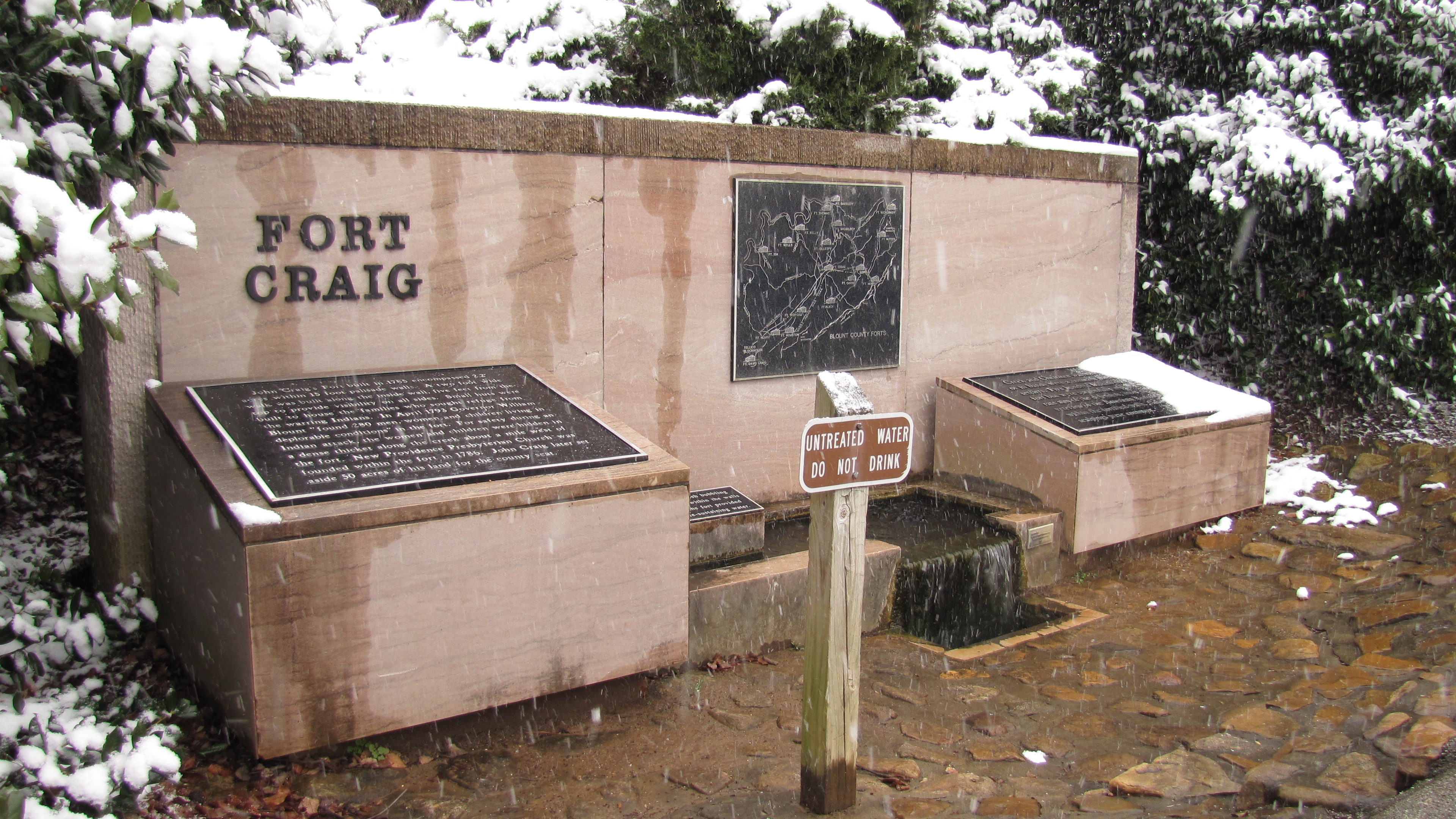
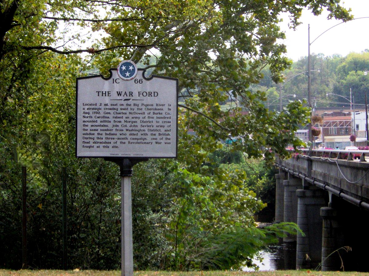
Maryville is a city in and the county seat of Blount County, Tennessee, and is a suburb of Knoxville. Its population was 31,907 at the 2020 census. It is included in the Knoxville Metropolitan Area and a short distance from popular tourist destinations such as the Great Smoky Mountains National Park, Dollywood, Gatlinburg, and Pigeon Forge. History When the first European explorers arrived in the area, they found the Great Indian Warpath, which ran along the route where the modern US-411 has been built. The trail was long used by the indigenous peoples of the area. A historic Cherokee village known as "Elajay" was situated at the confluence of Ellejoy Creek (named after the village) and the Little River. Its site was near the modern Heritage High School. Ensign Henry Timberlake passed through the village in 1762 while returning from his expedition to the Overhill villages to the west. He reported that it had been abandoned. In 1785, Revolutionary War veteran John Craig bu ... [...More Info...] [...Related Items...] OR: [Wikipedia] [Google] [Baidu] |
City
A city is a human settlement of notable size.Goodall, B. (1987) ''The Penguin Dictionary of Human Geography''. London: Penguin.Kuper, A. and Kuper, J., eds (1996) ''The Social Science Encyclopedia''. 2nd edition. London: Routledge. It can be defined as a permanent and densely settled place with administratively defined boundaries whose members work primarily on non-agricultural tasks. Cities generally have extensive systems for housing, transportation, sanitation, utilities, land use, production of goods, and communication. Their density facilitates interaction between people, government organisations and businesses, sometimes benefiting different parties in the process, such as improving efficiency of goods and service distribution. Historically, city-dwellers have been a small proportion of humanity overall, but following two centuries of unprecedented and rapid urbanization, more than half of the world population now lives in cities, which has had profound consequences for g ... [...More Info...] [...Related Items...] OR: [Wikipedia] [Google] [Baidu] |
Great Smoky Mountains National Park
Great Smoky Mountains National Park is an American national park in the southeastern United States, with parts in North Carolina and Tennessee. The park straddles the ridgeline of the Great Smoky Mountains, part of the Blue Ridge Mountains, which are a division of the larger Appalachian Mountain chain. The park contains some of the highest mountains in eastern North America, including Clingmans Dome, Mount Guyot, and Mount Le Conte. The border between the two states runs northeast to southwest through the center of the park. The Appalachian Trail passes through the center of the park on its route from Georgia to Maine. With 14.1 million visitors in 2021, the Great Smoky Mountains National Park is the most visited national park in the United States. The park encompasses , making it one of the largest protected areas in the eastern United States. The main park entrances are located along U.S. Highway 441 (Newfound Gap Road) in the towns of Gatlinburg, Tennessee and Cherokee ... [...More Info...] [...Related Items...] OR: [Wikipedia] [Google] [Baidu] |
American Revolutionary War
The American Revolutionary War (April 19, 1775 – September 3, 1783), also known as the Revolutionary War or American War of Independence, was a major war of the American Revolution. Widely considered as the war that secured the independence of the United States, fighting began on April 19, 1775, followed by the Lee Resolution on July 2, 1776, and the Declaration of Independence on July 4, 1776. The American Patriots were supported by the Kingdom of France and, to a lesser extent, the Dutch Republic and the Spanish Empire, in a conflict taking place in North America, the Caribbean, and the Atlantic Ocean. Established by royal charter in the 17th and 18th centuries, the American colonies were largely autonomous in domestic affairs and commercially prosperous, trading with Britain and its Caribbean colonies, as well as other European powers via their Caribbean entrepôts. After British victory over the French in the Seven Years' War in 1763, tensions between the motherland and he ... [...More Info...] [...Related Items...] OR: [Wikipedia] [Google] [Baidu] |
Overhill Cherokee
Overhill Cherokee was the term for the Cherokee people located in their historic settlements in what is now the U.S. state of Tennessee in the Southeastern United States, on the western side of the Appalachian Mountains. This name was used by 18th-century European traders and explorers from British colonies along the Atlantic coast, as they had to cross the mountains to reach these settlements. Situated along the lower Little Tennessee, lower Tellico, lower Hiwassee and upper Tennessee rivers, the Overhill towns rose to prominence within the Cherokee Nation in the early 18th century. They began to standardize trade with British colonists. In the early part of the century, the Overhill towns' remote location at the far end of the Trading Path meant they were reached only by those traders and explorers adventurous enough to make the difficult journey to the interior over the mountain range. By the middle of the century, the Overhill towns were consistently courted by both Brit ... [...More Info...] [...Related Items...] OR: [Wikipedia] [Google] [Baidu] |
Timberlake Expedition
The Timberlake Expedition was an excursion into the Overhill Cherokee lands west of the Appalachian Mountains, which took place in 1761 following the Anglo-Cherokee War. Its purpose was to renew and solidify friendship between Colonial Americans and the Cherokee People following the three-year war. The endeavor is named after the commander of the expedition, Henry Timberlake. Organization The Timberlake Expedition was organized in 1761 by Colonel Adam Stephen. The expressed purpose of the expedition was to visit the Overhill Cherokee (in present-day Tennessee) to verify that an end of hostilities of the Anglo-Cherokee War had taken place in the Colony of Virginia, Virginia back-country. Stephen gave command of the expedition to Timberlake, who had volunteered for the assignment. Timberlake was accompanied by Sergeant Thomas Sumter (who funded the expedition), John McCormack (an interpreter), and a servant. The small group purchased a canoe and ten days' worth of provisions wi ... [...More Info...] [...Related Items...] OR: [Wikipedia] [Google] [Baidu] |
Henry Timberlake
Henry Timberlake (1730 or 1735 – September 30, 1765) was a colonial Anglo-American officer, journalist, and cartographer. He was born in the Colony of Virginia and died in England. He is best known for his work as an emissary from the British colonies to the Overhill Cherokee during the 1761–1762 Timberlake Expedition. Timberlake's account of his journeys to the Cherokee, published posthumously as his memoirs in 1765, became a primary source for later studies of the people's eighteenth-century culture. His detailed descriptions of Cherokee towns, townhouses (also known as councilhouses), weapons, and tools have been invaluable to later historians and anthropologists. The details have helped them identify Cherokee structures and cultural objects uncovered at modern archaeological excavation sites throughout the southern Appalachian region.Schroedel, G.FHenry Timberlakei''The Tennessee Encyclopedia of History and Culture'' Retrieved 2012-04-24. For instance, during the Tellic ... [...More Info...] [...Related Items...] OR: [Wikipedia] [Google] [Baidu] |
Heritage High School (Maryville, Tennessee)
Heritage High School is a public high school located approximately outside the city of Maryville, in Blount County, Tennessee, USA, which opened in 1977. It was created through the consolidation of four community high schools (Townsend, Walland, Porter and Everett) into a comprehensive high school. Heritage High School is one of two secondary schools operated by Blount County Schools. Two other public high schools in Blount County that are operated by the cities of Maryville and Alcoa. The school provides education primarily to students from Townsend, Walland, Louisville, Rockford and Alcoa communities. In the 2009–2010 school year, the student population at Heritage was 94.62% White, 2.84% Latino, 1.87% African-American, 0.06% Native Hawaiian-Pacific Islander, and 0.42% Asian. Campus The high school occupies a campus within of the Great Smoky Mountains National Park. There are scenic views of the park's peaks and nearby Walland Gap that divides the Chilhowee Mountain ... [...More Info...] [...Related Items...] OR: [Wikipedia] [Google] [Baidu] |
Little River (Tennessee)
Little River is a river in Tennessee which drains a area containing some of the most spectacular scenery in the southeastern United States. The first of the river are all located within the borders of the Great Smoky Mountains National Park. The remaining flow out of the mountains through Blount County, Tennessee, Blount County to join the Tennessee River at Fort Loudon Lake in Knox County, Tennessee, Knox County. History, Course & Geology Source to Elkmont Little River rises in Sevier County, Tennessee, Sevier County inside the national park on the north slope of Clingmans Dome, the highest point in Tennessee. Clingmans Dome is located directly on the Tennessee-North Carolina state line, which parallels the Appalachian Trail along the crest of the Smokies. Approximately one mile below its source, Little River absorbs several smaller streams at an area known as "Three Forks", where the river gains considerable strength. From here, the river is paralleled by the well-main ... [...More Info...] [...Related Items...] OR: [Wikipedia] [Google] [Baidu] |
Cherokee
The Cherokee (; chr, ᎠᏂᏴᏫᏯᎢ, translit=Aniyvwiyaʔi or Anigiduwagi, or chr, ᏣᎳᎩ, links=no, translit=Tsalagi) are one of the indigenous peoples of the Southeastern Woodlands of the United States. Prior to the 18th century, they were concentrated in their homelands, in towns along river valleys of what is now southwestern North Carolina, southeastern Tennessee, edges of western South Carolina, northern Georgia, and northeastern Alabama. The Cherokee language is part of the Iroquoian language group. In the 19th century, James Mooney, an early American ethnographer, recorded one oral tradition that told of the tribe having migrated south in ancient times from the Great Lakes region, where other Iroquoian peoples have been based. However, anthropologist Thomas R. Whyte, writing in 2007, dated the split among the peoples as occurring earlier. He believes that the origin of the proto-Iroquoian language was likely the Appalachian region, and the split betw ... [...More Info...] [...Related Items...] OR: [Wikipedia] [Google] [Baidu] |
Native Americans In The United States
Native Americans, also known as American Indians, First Americans, Indigenous Americans, and other terms, are the Indigenous peoples of the mainland United States ( Indigenous peoples of Hawaii, Alaska and territories of the United States are generally known by other terms). There are 574 federally recognized tribes living within the US, about half of which are associated with Indian reservations. As defined by the United States Census, "Native Americans" are Indigenous tribes that are originally from the contiguous United States, along with Alaska Natives. Indigenous peoples of the United States who are not listed as American Indian or Alaska Native include Native Hawaiians, Samoan Americans, and the Chamorro people. The US Census groups these peoples as " Native Hawaiian and other Pacific Islanders". European colonization of the Americas, which began in 1492, resulted in a precipitous decline in Native American population because of new diseases, wars, ethni ... [...More Info...] [...Related Items...] OR: [Wikipedia] [Google] [Baidu] |
Great Indian Warpath
The Great Indian Warpath (GIW)—also known as the Great Indian War and Trading Path, or the Seneca Trail—was that part of the network of trails in eastern North America developed and used by Native Americans which ran through the Great Appalachian Valley. The system of footpaths (the Warpath branched off in several places onto alternate routes and over time shifted westward in some regions) extended from what is now upper New York to deep within Alabama. Various Indians traded and made war along the trails, including the Catawba, numerous Algonquian tribes, the Cherokee, and the Iroquois Confederacy. The British traders' name for the route was derived from combining its name among the northeastern Algonquian tribes, ''Mishimayagat'' or "Great Trail", with that of the Shawnee and Delaware, ''Athawominee'' or "Path where they go armed". History The age of the Great Indian Warpath is unknown. Many of the trails were broken by animals traveling to the salt licks in the region, ... [...More Info...] [...Related Items...] OR: [Wikipedia] [Google] [Baidu] |


