|
Kennington
Kennington is a district in south London, England. It is mainly within the London Borough of Lambeth, running along the boundary with the London Borough of Southwark, a boundary which can be discerned from the early medieval period between the Lambeth and St George's parishes of those boroughs respectively. It is located south of Charing Cross in Inner London and is identified as a local centre in the London Plan. It was a royal manor in the parish of St Mary, Lambeth in the county of Surrey and was the administrative centre of the parish from 1853. Proximity to central London was key to the development of the area as a residential suburb and it was incorporated into the metropolitan area of London in 1855. Kennington is the location of three significant London landmarks: the Oval cricket ground, the Imperial War Museum, and Kennington Park. Its population at the United Kingdom Census 2011 was 15,106. History Toponymy Kennington appears in the Domesday Book of 1086 as ... [...More Info...] [...Related Items...] OR: [Wikipedia] [Google] [Baidu] |
Kennington Park
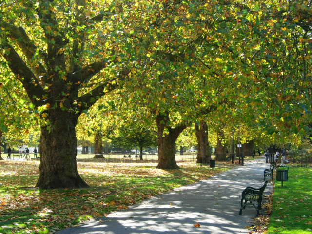
Kennington Park is a public park in Kennington, south London and lies between Kennington Park Road and St. Agnes Place. It was opened in 1854 on the site of what had been Kennington Common, where the Chartists gathered for their biggest "monster rally" on 10 April 1848. Soon after this demonstration the common was enclosed and, sponsored by the royal family, made into a public park. Kennington Common was a site of public executions until 1800 as well as being an area for public speaking. Some of the most illustrious orators to speak here were Methodist founders George Whitefield and John Wesley who is reputed to have attracted a crowd of 30,000. The common was one of the earliest London cricket venues and is known to have been used for top-class matches in 1724. G. B. Buckley, ''Fresh Light on 18th Century Cricket'', Cotterell, 1935. Kennington Park hosts the first inner London community cricket ground, sponsored by Surrey County Cricket Club whose home, The Oval, is ... [...More Info...] [...Related Items...] OR: [Wikipedia] [Google] [Baidu] |
The Oval
The Oval, currently named for sponsorship reasons as the Kia Oval, is an international cricket ground in Kennington, located in the borough of Lambeth, in south London. The Oval has been the home ground of Surrey County Cricket Club since it was opened in 1845. It was the first ground in England to host international Test cricket in September 1880. The final Test match of the English season is traditionally played there. In addition to cricket history, The Oval has hosted a number of other historically significant sporting events. In 1870, it staged the first representative football match between England and Scotland, although this is not deemed to be an official international by FIFA. It hosted the first FA Cup final in 1872, as well as those between 1874 and 1892. In 1876, it held both the England v. Wales and England v. Scotland rugby international matches and, in 1877, rugby's first varsity match. It also hosted the finals of the 2004 & 2017 ICC Champions Trophy ... [...More Info...] [...Related Items...] OR: [Wikipedia] [Google] [Baidu] |
Lambeth (parish)
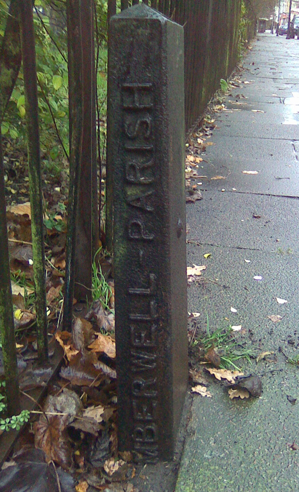
Lambeth was a civil parish and metropolitan borough in south London, England. It was an ancient parish in the county of Surrey. The parish was included in the area of responsibility of the Metropolitan Board of Works in 1855 and became part of the County of London in 1889. The parish of Lambeth became a metropolitan borough in 1900, following the London Government Act 1899, with the parish vestry replaced by a borough council. Geography The ancient parish was divided into the six divisions of Bishop's Liberty, Prince's Liberty, Vauxhall Liberty, Marsh and Wall Liberty, Lambeth Dean and Stockwell Liberty. It covered an area 4,015 acres (recorded in 1851 census) and was north to south, but only at its widest east to west. In addition to the historic riverside area of Lambeth, this included Kennington, Vauxhall, Stockwell, Brixton, the western part of Herne Hill, Tulse Hill and West Norwood. As the population was increasing, in 1824 the ancient parish was subdivided into eccl ... [...More Info...] [...Related Items...] OR: [Wikipedia] [Google] [Baidu] |
Vauxhall
Vauxhall ( , ) is an area of South London, within the London Borough of Lambeth. Named after a medieval manor called Fox Hall, it became well known for the Vauxhall Pleasure Gardens. From the Victorian period until the mid-20th century, Vauxhall was a mixed industrial and residential area, of predominantly manual workers' homes – many demolished and replaced by Lambeth Council with social housing after the Second World War – and business premises, including large railway, gas, and water works. These industries contrasted with the mostly residential neighbouring districts of Kennington and Pimlico. As in neighbouring Battersea and Nine Elms, riverside redevelopment has converted most former industrial sites into residential properties and new office space. Vauxhall has given its name to the Vauxhall Bridge, Vauxhall parliamentary constituency and Vauxhall Motors. Geography Vauxhall is south of Charing Cross and southwest of the actual centre of London at Frazie ... [...More Info...] [...Related Items...] OR: [Wikipedia] [Google] [Baidu] |
London Borough Of Lambeth
Lambeth () is a London borough in South London, England, which forms part of Inner London. Its name was recorded in 1062 as ''Lambehitha'' ("landing place for lambs") and in 1255 as ''Lambeth''. The geographical centre of London is at Frazier Street near Lambeth North tube station, though nearby Charing Cross on the other side of the Thames in the City of Westminster is traditionally considered the centre of London. History The area of the modern borough had historically been part of the county of Surrey, and generally corresponds to the three ancient parishes of Lambeth, Clapham and Streatham. The parish of Lambeth included the archiepiscopal Lambeth Palace, and formed part of the Hundred of Brixton. It was an elongated north–south parish with of River Thames frontage opposite the cities of London and Westminster. Lambeth became part of the Metropolitan Police District in 1829. From 1856 the area of the modern borough was governed by the Metropolitan Board of Wo ... [...More Info...] [...Related Items...] OR: [Wikipedia] [Google] [Baidu] |
Vauxhall And Camberwell Green (UK Parliament Constituency)
Vauxhall and Camberwell Green is a constituency of the House of Commons in the UK Parliament. Following the completion of the 2023 Periodic Review of Westminster constituencies, it was first contested at the 2024 general election, and Florence Eshalomi was elected for the Labour Party. Boundaries The constituency was defined as comprising the following wards as they existed on 1 December 2020: * The London Borough of Lambeth wards of: Bishop’s; Oval; Prince’s; Stockwell; Vassall. * The London Borough of Southwark wards of: Camberwell Green ; Newington. It covers the following areas: * The majority of the abolished constituency of Vauxhall, comprising the Borough of Lambeth areas of Kennington, Myatt's Fields, Stockwell, Vauxhall, Waterloo and South Bank. * The Borough of Southwark districts of Newington from Bermondsey and Old Southwark, and Camberwell Green from Camberwell and Peckham. Following a local government boundary review in the Borough of Lambeth which ... [...More Info...] [...Related Items...] OR: [Wikipedia] [Google] [Baidu] |
Edward The Black Prince
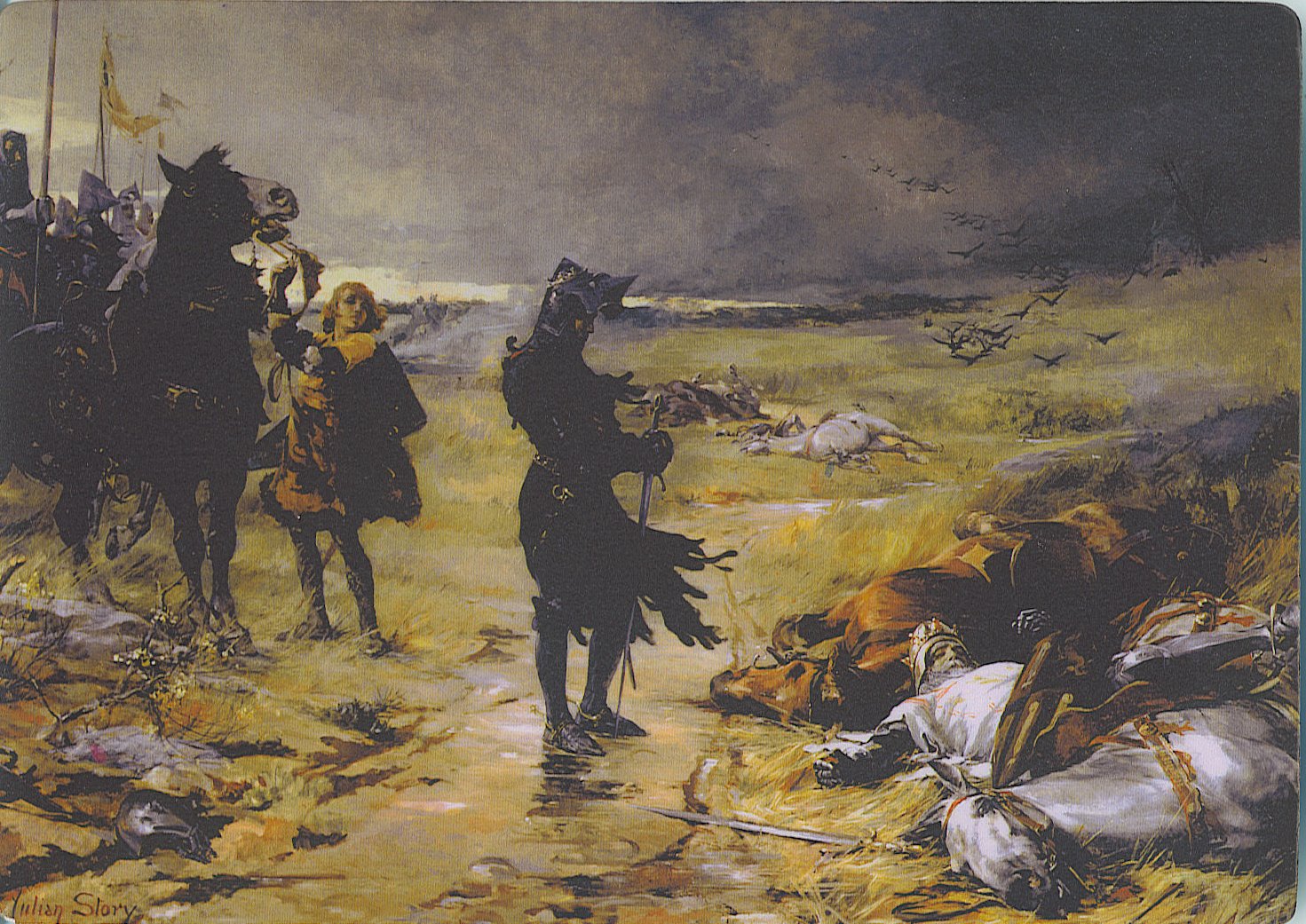
Edward of Woodstock (15 June 1330 – 8 June 1376), known as the Black Prince, was the eldest son and heir apparent of King Edward III of England. He died before his father and so his son, Richard II, succeeded to the throne instead. Edward nevertheless earned distinction as one of the most successful English commanders during the Hundred Years' War, being regarded by his English contemporaries as a model of chivalry and one of the greatest knights of his age. Edward was made Duke of Cornwall, the first English dukedom, in 1337. He was guardian of the kingdom in his father's absence in 1338, 1340, and 1342. He was created Prince of Wales in 1343 and knighted by his father at La Hougue in 1346. In 1346, Prince Edward commanded the vanguard at the Battle of Crécy, his father intentionally leaving him to win the battle. He took part in Edward III's 1349 Calais expedition. In 1355, he was appointed the king's lieutenant in Gascony and ordered to lead an army into Aquitaine on ... [...More Info...] [...Related Items...] OR: [Wikipedia] [Google] [Baidu] |
London Borough Of Southwark
The London Borough of Southwark ( ) in South London forms part of Inner London and is connected by bridges across the River Thames to the City of London and the London Borough of Tower Hamlets. It was created in 1965 when three smaller council areas were amalgamated under the London Government Act 1963. All districts of the area are within the London postal district. It is governed by Southwark London Borough Council. The part of the South Bank within the borough is home to London Bridge terminus station and the attractions of The Shard, Tate Modern, Shakespeare's Globe and Borough Market that are the largest of the venues in Southwark to draw domestic and international tourism. Dulwich is home to the Dulwich Picture Gallery and the Imperial War Museum is in Elephant and Castle. Major districts include Bermondsey, Rotherhithe, Peckham, Camberwell, and Dulwich. Toponymy The name ''Suthriganaweorc'' or ''Suthringa geweorche'' is recorded for the place in the early 10th-c ... [...More Info...] [...Related Items...] OR: [Wikipedia] [Google] [Baidu] |
River Effra
The River Effra is a former stream or small river in south London, England, now culverted for most of its course. Once a tributary of the River Thames, flows from the Effra were incorporated in the Victorian era into a combined sewer draining much of the historic area of Peckham and Brixton. Etymology The etymology of the name "Effra" has been much disputed. There is no evidence that it was applied to the stream before the late 18th century, and early 19th century gazetteers gave it no name.Bonner, A. "Surrey Place-names" in ''Surrey Archaeological Collections'' v XXXVII, pp.126-7 A map of 1744 refers to it as the "Shore",manor which once covered some 70 acres south of present day Coldharbour Lane and east of present day Effra Road.''Survey of London'' (1956) v.26, The Parish of St Mary Lambeth, LCC, p.137 By the 1790s the land making up the Manor of Heathrow was known as Effra Farm. There is evidence that the name was first applied to the stream at Brixton, perhaps taken from th ... [...More Info...] [...Related Items...] OR: [Wikipedia] [Google] [Baidu] |
Metropolis Management Act 1855
The Metropolis Management Act 1855 (18 & 19 Vict. c. 120), also known as the Metropolis (Management) Act 1855 or the Metropolis Local Management Act 1855, is an Act of Parliament (United Kingdom), act of the Parliament of the United Kingdom that created the Metropolitan Board of Works, a London-wide body to co-ordinate the construction of the city's infrastructure. The act also created a second tier of local government consisting of parish vestry, vestries and district boards of works. The Metropolitan Board of Works was the forerunner of the London County Council. Background The Royal Commission on the City of London considered the case for creation of an authority for the whole of London. Its report recommended the creation of a limited-function Metropolitan Board of Works and seven municipal corporations based on existing parliamentary representation.Young, K. & Garside, P., ''Metropolitan London: Politics and Urban Change'', (1982) The Metropolitan Board of Works The act co ... [...More Info...] [...Related Items...] OR: [Wikipedia] [Google] [Baidu] |
Kensington
Kensington is an area of London in the Royal Borough of Kensington and Chelsea, around west of Central London. The district's commercial heart is Kensington High Street, running on an east–west axis. The north-east is taken up by Kensington Gardens, containing the Albert Memorial, the Serpentine Gallery and John Hanning Speke, Speke's monument. South Kensington and Gloucester Road, London, Gloucester Road are home to Imperial College London, the Royal College of Music, the Royal Albert Hall, Natural History Museum, London, Natural History Museum, Victoria and Albert Museum, and Science Museum, London, Science Museum. The area is also home to many embassies and consulates. Name The Manorialism, manor of ''Chenesitone'' is listed in the Domesday Book of 1086, which in the Old English language, Anglo-Saxon language means "Chenesi's List of generic forms in place names in Ireland and the United Kingdom, ton" (homestead/settlement). One early spelling is ''Kesyngton'', as wri ... [...More Info...] [...Related Items...] OR: [Wikipedia] [Google] [Baidu] |
Surrey
Surrey () is a Ceremonial counties of England, ceremonial county in South East England. It is bordered by Greater London to the northeast, Kent to the east, East Sussex, East and West Sussex to the south, and Hampshire and Berkshire to the west. The largest settlement is Woking. The county has an area of and a population of 1,214,540. Much of the north of the county forms part of the Greater London Built-up Area, which includes the Suburb, suburbs within the M25 motorway as well as Woking (103,900), Guildford (77,057), and Leatherhead (32,522). The west of the county contains part of Farnborough/Aldershot built-up area, built-up area which includes Camberley, Farnham, and Frimley and which extends into Hampshire and Berkshire. The south of the county is rural, and its largest settlements are Horley (22,693) and Godalming (22,689). For Local government in England, local government purposes Surrey is a non-metropolitan county with eleven districts. The county historically includ ... [...More Info...] [...Related Items...] OR: [Wikipedia] [Google] [Baidu] |


