|
Creswellian Culture
The Creswellian is a British Upper Palaeolithic culture named after the type site of Creswell Crags in Derbyshire by Dorothy Garrod in 1926. It is also known as the British Late Magdalenian. According to Andreas Maier: "In current research, the Creswellian and Hamburgian are considered to be independent but closely related entities which are rooted in the Magdalenian." The Creswellian is dated between 13,000 and 11,800 BP and was followed by the most recent ice age, the Younger Dryas, when Britain was at times unoccupied by humans. History The term Creswellian appeared for the first time in 1926 in Dorothy Garrod's ''The Upper Palaeolithic Age in Britain''. This was the first academic publication Kathryn Pric« One vision, one faith, one woman: Dorothy Garrod and the Crystallisation of Prehistory » in ''Great Prehistorians: 150 Years of Palaeolithic Research, 1859-2009'', London, Lithic Studies Society, 2009, p. 141-142. by the woman who in 1939 became the first woman ever ... [...More Info...] [...Related Items...] OR: [Wikipedia] [Google] [Baidu] |
Great Britain
Great Britain is an island in the North Atlantic Ocean off the northwest coast of continental Europe. With an area of , it is the largest of the British Isles, the largest European island and the ninth-largest island in the world. It is dominated by a maritime climate with narrow temperature differences between seasons. The 60% smaller island of Ireland is to the west—these islands, along with over 1,000 smaller surrounding islands and named substantial rocks, form the British Isles archipelago. Connected to mainland Europe until 9,000 years ago by a landbridge now known as Doggerland, Great Britain has been inhabited by modern humans for around 30,000 years. In 2011, it had a population of about , making it the world's third-most-populous island after Java in Indonesia and Honshu in Japan. The term "Great Britain" is often used to refer to England, Scotland and Wales, including their component adjoining islands. Great Britain and Northern Ireland now constitute the ... [...More Info...] [...Related Items...] OR: [Wikipedia] [Google] [Baidu] |
Lithic Core
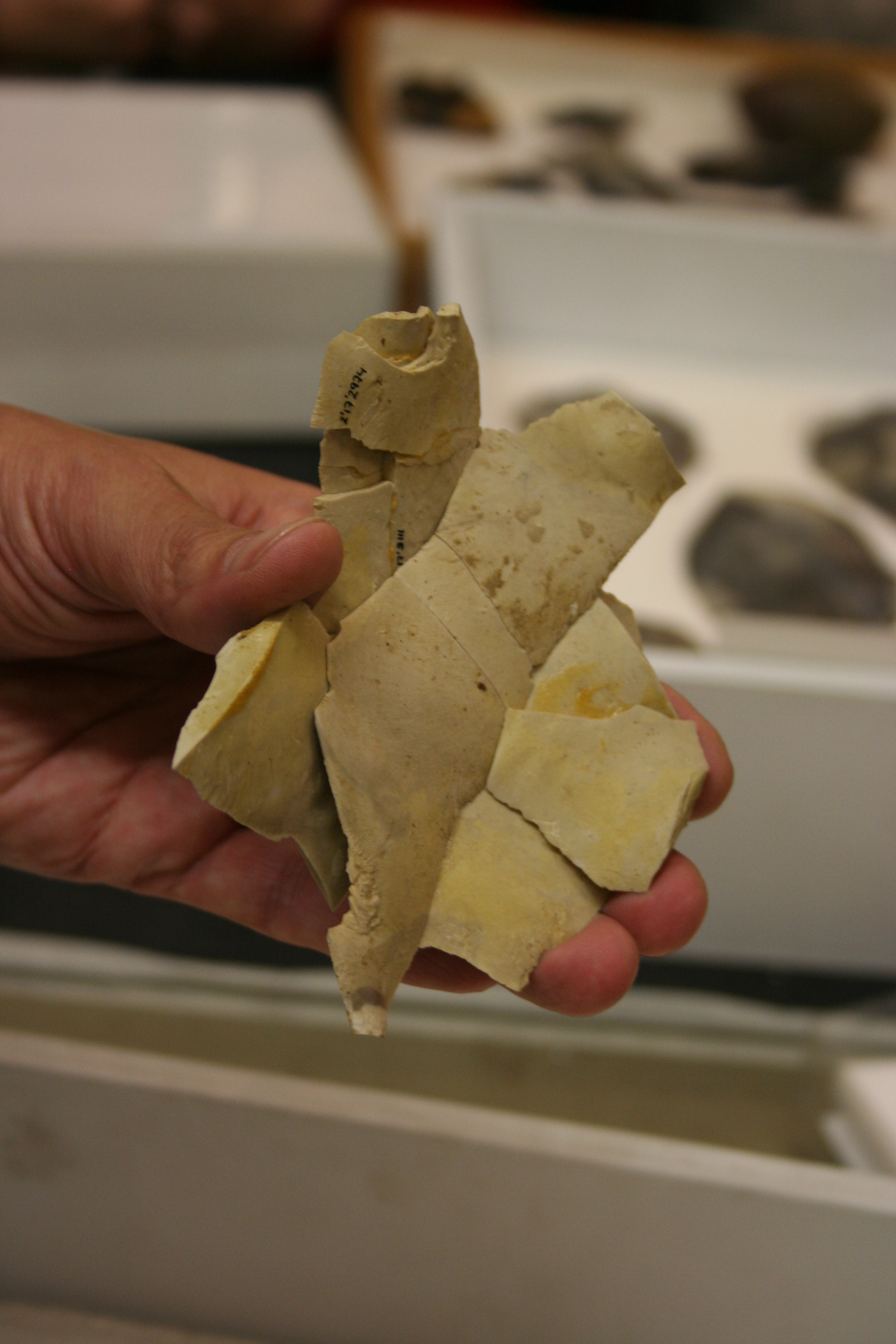
In archaeology, a lithic core is a distinctive artifact that results from the practice of lithic reduction. In this sense, a core is the scarred nucleus resulting from the detachment of one or more flakes from a lump of source material or tool stone, usually by using a hard hammer precursor such as a hammerstone. The core is marked with the positive scars of these flakes. The surface area of the core which received the blows necessary for detaching the flakes is referred to as the striking platform. The core may be discarded or shaped further into a core tool, such as can be seen in some types of handaxe. The purpose of core reduction may be to rough out a blank for later refinement into a projectile point, knife, or other stone tool, or it may be performed in order to obtain sharp flakes, from which a variety of simple tools can be made. Generally, the presence of a core is indicative of the latter process, since the former process usually leaves no core. Because the morpholo ... [...More Info...] [...Related Items...] OR: [Wikipedia] [Google] [Baidu] |
Red Deer
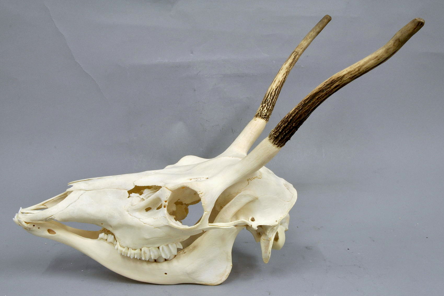
The red deer (''Cervus elaphus'') is one of the largest deer species. A male red deer is called a stag or hart, and a female is called a hind. The red deer inhabits most of Europe, the Caucasus Mountains region, Anatolia, Iran, and parts of western Asia. It also inhabits the Atlas Mountains of Northern Africa; its early ancestors are thought to have crossed over to Morocco, then to Algeria, Libya and Tunisia via the Strait of Gibraltar, becoming the only species of true deer (Cervidae) to inhabit Africa. Red deer have been introduced to other areas, including Australia, New Zealand, the United States, Canada, Peru, Uruguay, Chile and Argentina. In many parts of the world, the meat (venison) from red deer is used as a food source. Red deer are ruminants, characterized by a four-chambered stomach. Genetics, Genetic evidence indicates that the red deer, as traditionally defined, is a species group, rather than a single species, though exactly how many species the group includes rem ... [...More Info...] [...Related Items...] OR: [Wikipedia] [Google] [Baidu] |
Equus Ferus
The wild horse (''Equus ferus'') is a species of the genus ''Equus'', which includes as subspecies the modern domesticated horse (''Equus ferus caballus'') as well as the endangered Przewalski's horse (''Equus ferus przewalskii''). The European wild horse known as the tarpan that went extinct in the late 1800s has previously been classified as a subspecies of wild horse (''Equus ferus ferus''), but more recent studies have cast doubt on whether those horses were truly wild or if they actually were feral horses or hybrids.Tadeusz Jezierski, Zbigniew Jaworski: ''Das Polnische Konik. Die Neue Brehm-Bücherei Bd. 658'', Westarp Wissenschaften, Hohenwarsleben 2008, Przewalski's horse had reached the brink of extinction but was reintroduced successfully into the wild. The tarpan became extinct in the 19th century but is theorized to have been present on the steppes of Eurasia at the time of domestication. However, other subspecies of ''Equus ferus'' may have existed and could hav ... [...More Info...] [...Related Items...] OR: [Wikipedia] [Google] [Baidu] |
Debitage
In archaeology, debitage is all the material produced during the process of lithic reduction – the production of stone tools and weapons by knapping stone. This assemblage may include the different kinds of lithic flakes and lithic blades, but most often refers to the shatter and production debris, and production rejects. Debitage analysis Debitage analysis, a sub-field of lithic analysis, considers the entire lithic waste assemblage. The analysis is undertaken by investigating differing patterns of debris morphology, size, and shape, among other things. This allows researchers to make more accurate assumptions regarding the purpose of the lithic reduction. Quarrying activities, core reduction, biface creation, tool manufacture, and retooling are believed to leave significantly different debitage assemblages. Lithic manufacture from a quarried source, or from found cobbles also leave different signatures. Some claim that they can determine the sort of tools used to crea ... [...More Info...] [...Related Items...] OR: [Wikipedia] [Google] [Baidu] |
Wiltshire
Wiltshire (; abbreviated Wilts) is a historic and ceremonial county in South West England with an area of . It is landlocked and borders the counties of Dorset to the southwest, Somerset to the west, Hampshire to the southeast, Gloucestershire to the north, Oxfordshire to the northeast and Berkshire to the east. The county town was originally Wilton, after which the county is named, but Wiltshire Council is now based in the county town of Trowbridge. Within the county's boundary are two unitary authority areas, Wiltshire and Swindon, governed respectively by Wiltshire Council and Swindon Borough Council. Wiltshire is characterised by its high downland and wide valleys. Salisbury Plain is noted for being the location of the Stonehenge and Avebury stone circles (which together are a UNESCO Cultural and World Heritage site) and other ancient landmarks, and as a training area for the British Army. The city of Salisbury is notable for its medieval cathedral. Swindon is the ... [...More Info...] [...Related Items...] OR: [Wikipedia] [Google] [Baidu] |
Vale Of Pewsey
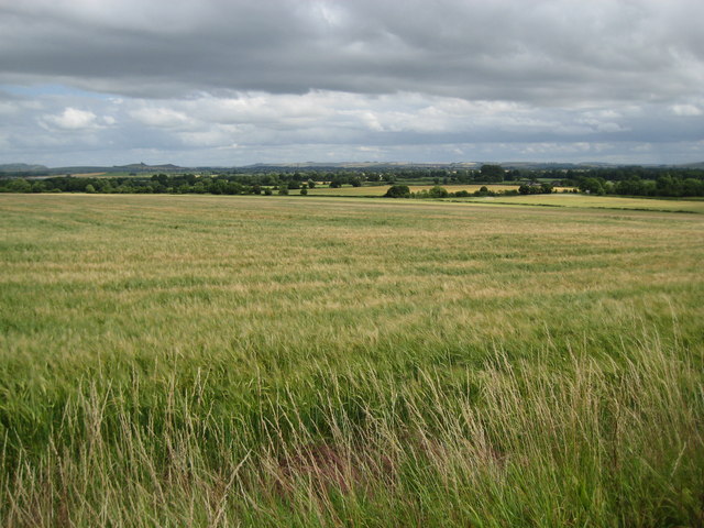
The Vale of Pewsey or Pewsey Vale is an area of Wiltshire, England to the east of Devizes and south of Marlborough, centred on the village of Pewsey. Geography The vale is an extent of lower lying ground separating the chalk downs of Salisbury Plain to the south from the Marlborough Downs to the north. It is around long and around wide. At the western end is the town of Devizes. Larger settlements in the vale include Pewsey and Burbage with many smaller villages, the larger ones including Bishops Cannings, Etchilhampton, Urchfont, Chirton, Alton Priors, Woodborough, Milton Lilbourne, Easton Royal and Wootton Rivers. Although not itself part of the downs, the vale is included as part of the North Wessex Downs AONB (Area of Outstanding Natural Beauty). The vale is a major east–west feature opening to the west towards the Bristol Channel, but is drained by the headwaters of the Salisbury Avon, rather than the westward-flowing Bristol Avon. The river cuts through the chalk ... [...More Info...] [...Related Items...] OR: [Wikipedia] [Google] [Baidu] |
Ireland
Ireland ( ; ga, Éire ; Ulster Scots dialect, Ulster-Scots: ) is an island in the Atlantic Ocean, North Atlantic Ocean, in Northwestern Europe, north-western Europe. It is separated from Great Britain to its east by the North Channel (Great Britain and Ireland), North Channel, the Irish Sea, and St George's Channel. Ireland is the List of islands of the British Isles, second-largest island of the British Isles, the List of European islands by area, third-largest in Europe, and the List of islands by area, twentieth-largest on Earth. Geopolitically, Ireland is divided between the Republic of Ireland (officially Names of the Irish state, named Ireland), which covers five-sixths of the island, and Northern Ireland, which is part of the United Kingdom. As of 2022, the Irish population analysis, population of the entire island is just over 7 million, with 5.1 million living in the Republic of Ireland and 1.9 million in Northern Ireland, ranking it the List of European islan ... [...More Info...] [...Related Items...] OR: [Wikipedia] [Google] [Baidu] |
Scotland
Scotland (, ) is a country that is part of the United Kingdom. Covering the northern third of the island of Great Britain, mainland Scotland has a border with England to the southeast and is otherwise surrounded by the Atlantic Ocean to the north and west, the North Sea to the northeast and east, and the Irish Sea to the south. It also contains more than 790 islands, principally in the archipelagos of the Hebrides and the Northern Isles. Most of the population, including the capital Edinburgh, is concentrated in the Central Belt—the plain between the Scottish Highlands and the Southern Uplands—in the Scottish Lowlands. Scotland is divided into 32 administrative subdivisions or local authorities, known as council areas. Glasgow City is the largest council area in terms of population, with Highland being the largest in terms of area. Limited self-governing power, covering matters such as education, social services and roads and transportation, is devolved from the Scott ... [...More Info...] [...Related Items...] OR: [Wikipedia] [Google] [Baidu] |
Devon
Devon ( , historically known as Devonshire , ) is a ceremonial and non-metropolitan county in South West England. The most populous settlement in Devon is the city of Plymouth, followed by Devon's county town, the city of Exeter. Devon is a coastal county with cliffs and sandy beaches. Home to the largest open space in southern England, Dartmoor (), the county is predominately rural and has a relatively low population density for an English county. The county is bordered by Somerset to the north east, Dorset to the east, and Cornwall to the west. The county is split into the non-metropolitan districts of East Devon, Mid Devon, North Devon, South Hams, Teignbridge, Torridge, West Devon, Exeter, and the unitary authority areas of Plymouth, and Torbay. Combined as a ceremonial county, Devon's area is and its population is about 1.2 million. Devon derives its name from Dumnonia (the shift from ''m'' to ''v'' is a typical Celtic consonant shift). During the Briti ... [...More Info...] [...Related Items...] OR: [Wikipedia] [Google] [Baidu] |
Kent's Cavern
Kents Cavern is a cave system in Torquay, Devon, England. It is notable for its archaeological and geological features. The cave system is open to the public and has been a geological Site of Special Scientific Interest since 1952 and a Scheduled Ancient Monument since 1957. Prehistory The caverns and passages were formed in the early Pleistocene period by water action, and have been occupied by one of at least eight separate, discontinuous native populations to have inhabited the British Isles. The other key paleolithic sites in the UK are Happisburgh, Pakefield, Boxgrove, Swanscombe, Pontnewydd, Paviland, Creswell Crags and Gough's Cave. Kents Cavern 4 A prehistoric upper jawbone (maxilla) fragment was discovered in the cavern during a 1927 excavation by the Torquay Natural History Society, and named ''Kents Cavern 4.'' The specimen is on display at the Torquay Museum. In 1989 the fragment was radiocarbon dated to 36,400–34,700 years BP, but a 2011 study that dated ... [...More Info...] [...Related Items...] OR: [Wikipedia] [Google] [Baidu] |
Somerset
( en, All The People of Somerset) , locator_map = , coordinates = , region = South West England , established_date = Ancient , established_by = , preceded_by = , origin = , lord_lieutenant_office =Lord Lieutenant of Somerset , lord_lieutenant_name = Mohammed Saddiq , high_sheriff_office =High Sheriff of Somerset , high_sheriff_name = Mrs Mary-Clare Rodwell (2020–21) , area_total_km2 = 4171 , area_total_rank = 7th , ethnicity = 98.5% White , county_council = , unitary_council = , government = , joint_committees = , admin_hq = Taunton , area_council_km2 = 3451 , area_council_rank = 10th , iso_code = GB-SOM , ons_code = 40 , gss_code = , nuts_code = UKK23 , districts_map = , districts_list = County council area: , MPs = * Rebecca Pow (C) * Wera Hobhouse ( LD) * Liam Fox (C) * David Warburton (C) * Marcus Fysh (C) * Ian Liddell-Grainger (C) * James Heappey (C) * Jacob Rees-Mogg (C) * John Penrose (C) , police = Avon and Somerset Police ... [...More Info...] [...Related Items...] OR: [Wikipedia] [Google] [Baidu] |


