|
Cranbourn Street
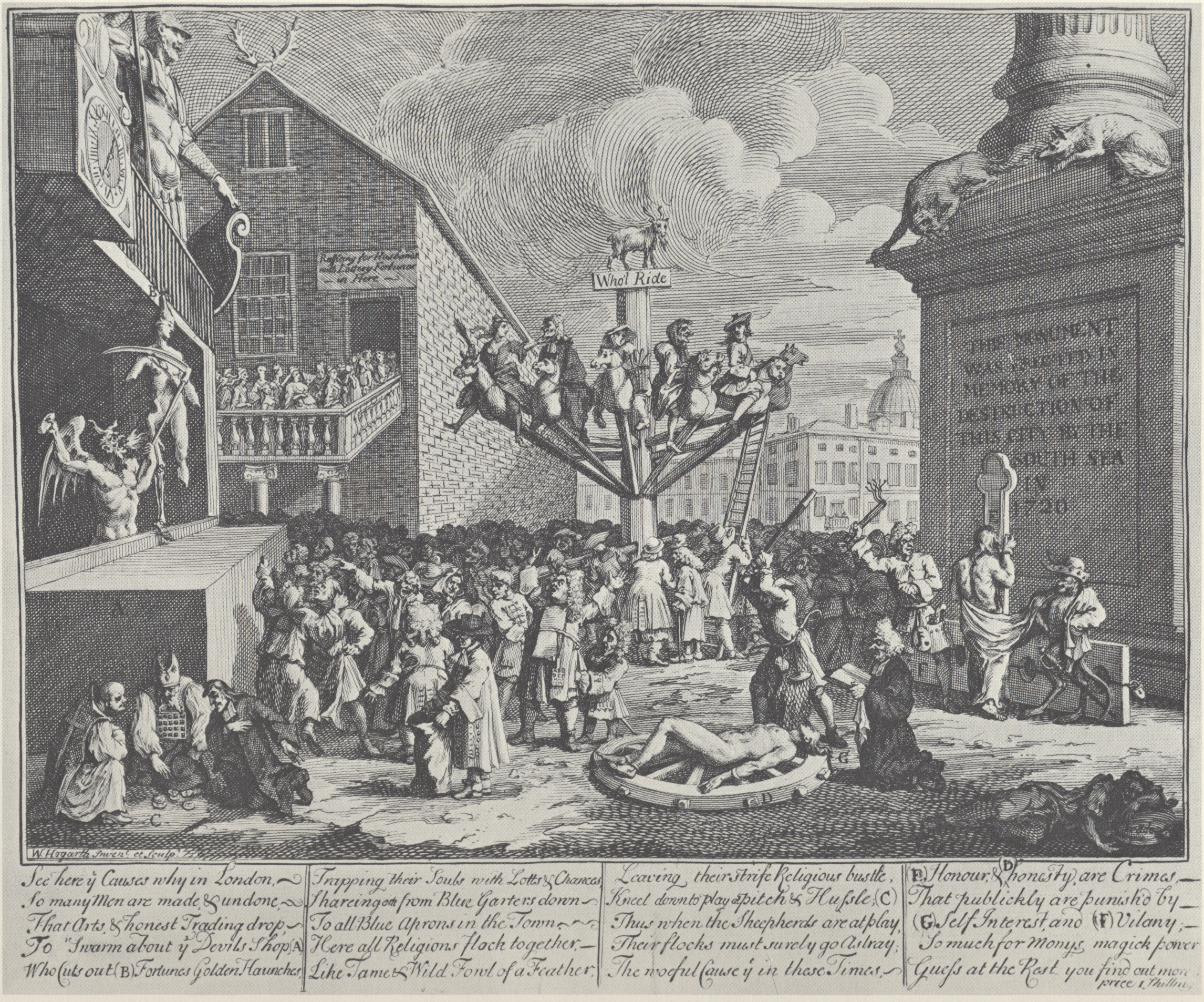
Cranbourn Street is a street in Central London. It connects Leicester Square to Long Acre via Charing Cross Road. The street was constructed in the 1670s, and named after the Earl of Salisbury's country estate of Cranborne, Dorset. It originally connected Leicester Square to Castle Street, and was largely complete by 1681–2. William Hogarth served an apprenticeship in a shop on the street in 1713, and his two sisters were presumed to run a nearby linen-draper's shop. The street was widened in 1843, connecting Coventry Street to Long Acre. Cranbourn Passage, an alley connecting the street northwards to Little Newport Street, was demolished in the 1880s in order to construct Charing Cross Road. The London Hippodrome The Hippodrome is a building on the corner of Cranbourn Street and Charing Cross Road in the City of Westminster, London. The name was used for many different theatres and music halls, of which the London Hippodrome is one of only a few survi ... was sited on C ... [...More Info...] [...Related Items...] OR: [Wikipedia] [Google] [Baidu] |
Central London
Central London is the innermost part of London, in England, spanning several boroughs. Over time, a number of definitions have been used to define the scope of Central London for statistics, urban planning and local government. Its characteristics are understood to include a high density built environment, high land values, an elevated daytime population and a concentration of regionally, nationally and internationally significant organisations and facilities. Road distances to London are traditionally measured from a central point at Charing Cross (in the City of Westminster), which is marked by the statue of King Charles I at the junction of the Strand, Whitehall and Cockspur Street, just south of Trafalgar Square. Characteristics Definitions London Plan The London Plan defines the 'Central Activities Zone' policy area, which comprises the City of London, most of Westminster and the inner parts of Camden, Islington, Hackney, Tower Hamlets, Southwark, Lambeth, Kensington ... [...More Info...] [...Related Items...] OR: [Wikipedia] [Google] [Baidu] |
Leicester Square
Leicester Square ( ) is a pedestrianised square in the West End of London, England. It was laid out in 1670 as Leicester Fields, which was named after the recently built Leicester House, itself named after Robert Sidney, 2nd Earl of Leicester. The square was originally a gentrified residential area, with tenants including Frederick, Prince of Wales and the artists William Hogarth and Joshua Reynolds. It became more down-market in the late 18th century as Leicester House was demolished and retail developments took place, becoming a centre for entertainment. Several major theatres were built in the 19th century, which were converted to cinemas towards the middle of the next. Leicester Square is the location of nationally significant cinemas such as the Odeon Leicester Square, Empire, Leicester Square, which are often used for film premieres (and the now closed Odeon West End). The nearby Prince Charles Cinema is known for its screenings of cult films and marathon film runs. The ... [...More Info...] [...Related Items...] OR: [Wikipedia] [Google] [Baidu] |
Long Acre
Long Acre is a street in the City of Westminster in central London. It runs from St Martin's Lane, at its western end, to Drury Lane in the east. The street was completed in the early 17th century and was once known for its coach-makers, and later for its car dealers. History After the dissolution of the Monasteries in 1540, Henry VIII confiscated the land belonging to Westminster Abbey, including the convent garden of Covent Garden and land to the north originally called the Elms and later Seven Acres. In 1552, his son, Edward VI, granted it to John Russell, 1st Earl of Bedford. The Russell family, who in 1694 were advanced in their peerage from Earl to Duke of Bedford, held the land from 1552 to 1918. At the time of Charles I it was renamed Long Acre after the length of the first pathway constructed across the land. Charles took offence at the condition of the road and houses along it, which were the responsibility of Russell and Henry Carey, 2nd Earl of Monmouth. Russell ... [...More Info...] [...Related Items...] OR: [Wikipedia] [Google] [Baidu] |
Charing Cross Road
Charing Cross Road is a street in central London running immediately north of St Martin-in-the-Fields to St Giles Circus (the intersection with Oxford Street) and then becomes Tottenham Court Road. It leads from the north in the direction of Charing Cross at the south side of Trafalgar Square. It connects via St Martin's Place and the motorised east side of the square. History Charing Cross road was originally two narrow streets in the West End, Crown Street and Castle Street. The development of Regent Street (parallel to the west) in the mid-18th century coincided with not only the building up of great fields west of the area but also Westminster Bridge which was built as central London and the wider estuary's second bridge after more than a century of pressure, in 1750. These pressures therefore congested the north–south axis of the inner West End almost as much as the relieved London Bridge area. Specifically a major increase in traffic occurred around Piccadilly Ci ... [...More Info...] [...Related Items...] OR: [Wikipedia] [Google] [Baidu] |
William Cecil, 2nd Earl Of Salisbury
William Cecil, 2nd Earl of Salisbury, (28 March 1591 – 3 December 1668), known as Viscount Cranborne from 1605 to 1612, was an English peer, nobleman, and politician. Early years, 1591–1612 Cecil was the son of Robert Cecil, 1st Earl of Salisbury and Elizabeth (née Brooke), the daughter of William Brooke, 10th Baron Cobham.. He was born in Westminster on 28 March 1591 and baptized in St Clement Danes on 11 April. William's mother died when he was six years old, and he was subsequently raised by his aunt, Lady Frances Stourton. In January 1600 Queen Elizabeth gave him a coat, a girdle and dagger, a hat with a feather, and a jewel to wear on it. He was educated at Sherborne School and at St John's College, Cambridge, where he started his terms in 1602, at age eleven. In 1603 Anne of Denmark held court at Worksop Manor on the king's birthday, 19 June. She tied a jewel in William's ear, and he danced with Princess Elizabeth. James I raised Cecil's father to the Peerage o ... [...More Info...] [...Related Items...] OR: [Wikipedia] [Google] [Baidu] |
Cranborne
Cranborne is a village in East Dorset, England. At the 2011 census, the parish had a population of 779, remaining unchanged from 2001. The appropriate electoral ward is called 'Crane'. This ward includes Wimborne St. Giles in the west and south to Woodlands. The total population of this ward at the 2011 census was 2,189. Once a very small, intensely agricultural market town, the village is on chalk downland called Cranborne Chase, part of a large expanse of chalk in southern England which includes the nearby Salisbury Plain and Dorset Downs. History The village dates from Saxon times and was recorded in the Domesday Book of 1086 as '' Creneburne'', meaning stream (bourne) of cranes. In the 10th century the Benedictine abbey known as Cranborne Abbey was founded by a knight by the name of Haylward Snew (or Aethelweard Maew) who made it the parent house of the religious foundation at Tewkesbury. This arrangement lasted until 1102, when Robert Fitz Hamon greatly enlarged th ... [...More Info...] [...Related Items...] OR: [Wikipedia] [Google] [Baidu] |
Dorset
Dorset ( ; archaically: Dorsetshire , ) is a county in South West England on the English Channel coast. The ceremonial county comprises the unitary authority areas of Bournemouth, Christchurch and Poole and Dorset (unitary authority), Dorset. Covering an area of , Dorset borders Devon to the west, Somerset to the north-west, Wiltshire to the north-east, and Hampshire to the east. The county town is Dorchester, Dorset, Dorchester, in the south. After the Local Government Act 1972, reorganisation of local government in 1974, the county border was extended eastward to incorporate the Hampshire towns of Bournemouth and Christchurch. Around half of the population lives in the South East Dorset conurbation, while the rest of the county is largely rural with a low population density. The county has a long history of human settlement stretching back to the Neolithic era. The Roman conquest of Britain, Romans conquered Dorset's indigenous Durotriges, Celtic tribe, and during the Ear ... [...More Info...] [...Related Items...] OR: [Wikipedia] [Google] [Baidu] |
William Hogarth
William Hogarth (; 10 November 1697 – 26 October 1764) was an English painter, engraver, pictorial satirist, social critic, editorial cartoonist and occasional writer on art. His work ranges from realistic portraiture to comic strip-like series of pictures called "modern moral subjects", and he is perhaps best known for his series ''A Harlot's Progress'', ''A Rake's Progress'' and '' Marriage A-la-Mode''. Knowledge of his work is so pervasive that satirical political illustrations in this style are often referred to as "Hogarthian". Hogarth was born in London to a lower-middle-class family. In his youth he took up an apprenticeship with an engraver, but did not complete the apprenticeship. His father underwent periods of mixed fortune, and was at one time imprisoned in lieu of outstanding debts, an event that is thought to have informed William's paintings and prints with a hard edge. Influenced by French and Italian painting and engraving, Hogarth's works are mostly sat ... [...More Info...] [...Related Items...] OR: [Wikipedia] [Google] [Baidu] |
Coventry Street
Coventry Street is a short street in the West End of London, connecting Piccadilly Circus to Leicester Square. Part of the street is a section of the A4, a major road through London. It is named after the politician Henry Coventry, secretary of state to Charles II. The street was constructed in 1681 for entertainment and retail purposes, and acquired a shady character with numerous gambling houses and a reputation for prostitution. This changed during the late 19th century, with the establishment of several music hall outlets including the London Pavilion, the Prince of Wales Theatre and the Trocadero Music Hall. In the 20th century, it became known for its high-traffic restaurants, including the first J. Lyons and Co. and the first premises of the seafood restaurant Scott's. It was also popular for its nightclubs, and was the original location of the Flamingo Club. Geography Coventry Street is one-way for motor traffic, running eastbound. It is around long and runs eas ... [...More Info...] [...Related Items...] OR: [Wikipedia] [Google] [Baidu] |
Hippodrome, London
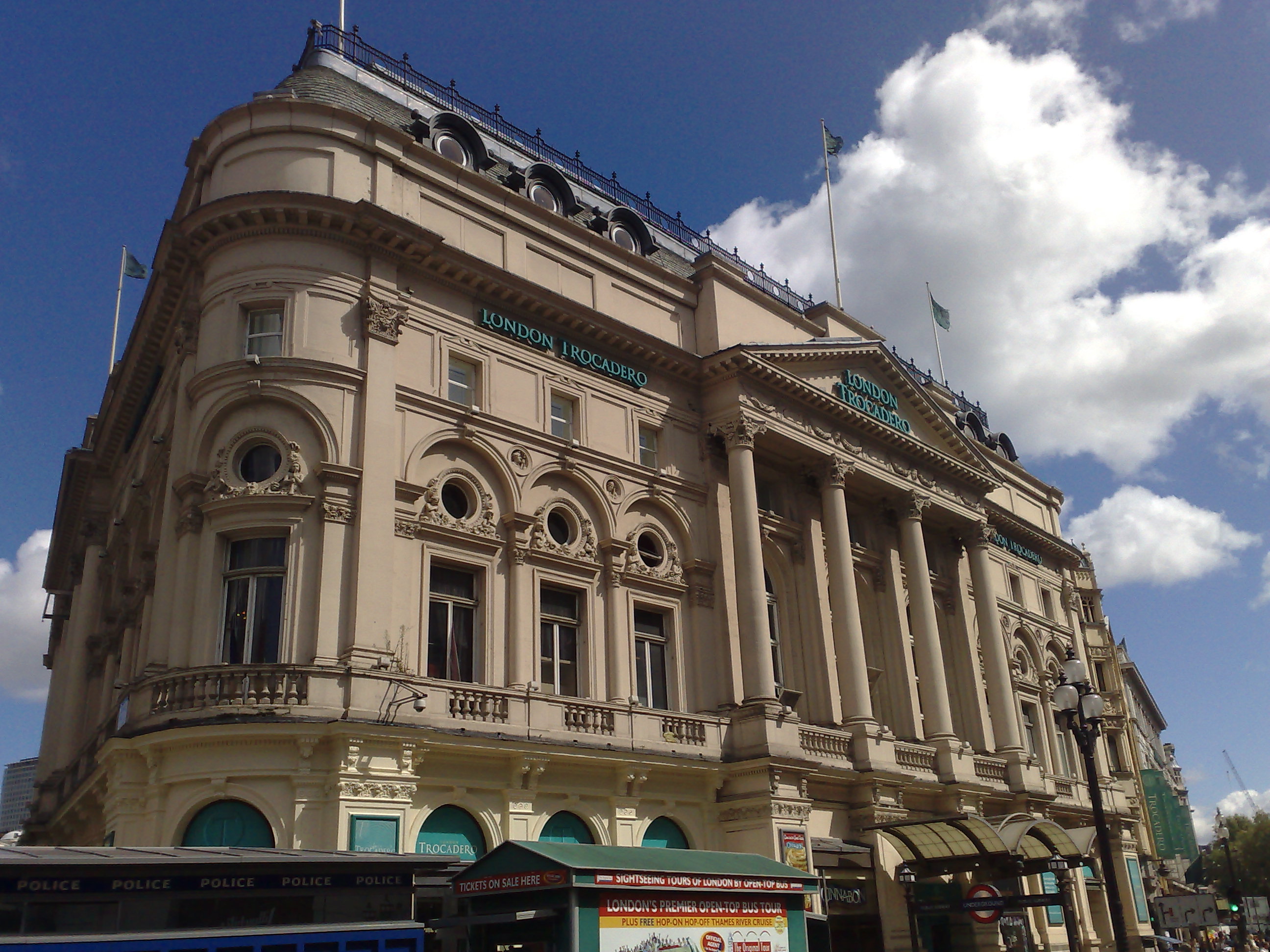
The Hippodrome is a building on the corner of Cranbourn Street and Charing Cross Road in the City of Westminster, London. The name was used for many different theatres and music halls, of which the London Hippodrome is one of only a few survivors. ''wikt:hippodrome, Hippodrome'' is an archaic word referring to places that host horse races and other forms of equestrian entertainment. History Hippodrome The London Hippodrome was opened in 1900. It was designed by Frank Matcham for Moss Empires chaired by Edward Moss (impresario), Edward Moss and built for £250,000 as a hippodrome for circus and variety show, variety performances. The venue gave its first show on 15 January 1900, a music hall revue entitled "Giddy Ostend" with Little Tich. The conductor was Georges Jacobi. Entry to the venue was through a bar, dressed as a ship's saloon. The performance space featured both a proscenium stage and an arena that sank into a 230 ft, 100,000 gallon water tank (about 400 tons, w ... [...More Info...] [...Related Items...] OR: [Wikipedia] [Google] [Baidu] |
.jpg)


