|
Corona Satellite Calibration Targets
The Casa Grande Photogrammetric Test Range is a test range established in the mid-1960s to test the dynamic performance of aerial survey cameras. The range consisted of consist of 272 concrete calibration markers embedded into the Earth's surface in and around Casa Grande, Arizona, United States. The markers are commonly (and erroneously) believed to have been used to aid camera calibration for the US Central Intelligence Agency's Corona spy satellite program; in fact, they were used as references for aerial surveys through photogrammetry. The markers formed a square grid, and were maintained from 1959 to 1972. Some of the original markers can still be found on satellite maps and ground inspection. See links to maps below. Background Following the launch of Corona satellites in the 1960s, the US National Foreign Intelligence Program determined that there was a need for calibration under the Controlled Range Network. Working with the Arizona Real Estate Office, the US Army Map ... [...More Info...] [...Related Items...] OR: [Wikipedia] [Google] [Baidu] |
Aerial Survey
Aerial survey is a method of collecting geomatics or other imagery by using airplanes, helicopters, UAVs, balloons or other aerial methods. Typical types of data collected include aerial photography, Lidar, remote sensing (using various visible and invisible bands of the electromagnetic spectrum, such as infrared, gamma, or ultraviolet) and also geophysical data (such as aeromagnetic surveys and gravity. It can also refer to the chart or map made by analysing a region from the air. Aerial survey should be distinguished from satellite imagery technologies because of its better resolution, quality and atmospheric conditions (which can negatively impact and obscure satellite observation). Today, aerial survey is sometimes recognized as a synonym for aerophotogrammetry, part of photogrammetry where the camera is placed in the air. Measurements on aerial images are provided by photogrammetric technologies and methods. Aerial surveys can provide information on many things not vis ... [...More Info...] [...Related Items...] OR: [Wikipedia] [Google] [Baidu] |
Manhole
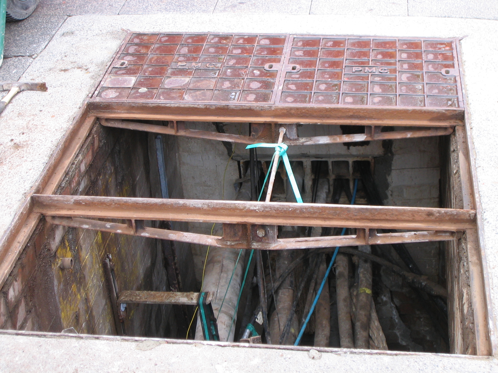
A manhole (utility hole, maintenance hole, or sewer hole) is an opening to a confined space such as a shaft, utility vault, or large vessel. Manholes are often used as an access point for an underground public utility, allowing inspection, maintenance, and system upgrades. The majority of underground services have manholes, including water, sewers, telephone, electricity, storm drains, district heating, and gas. Manholes are generally found in urban areas, in streets and occasionally under sidewalks. In rural and undeveloped areas, services such as telephone and electricity are usually carried on utility poles or even pylons rather than underground. In Australia, ''manhole'' also commonly refers to an access hatch used to get access from a room or hallway into the ceiling cavity of a building. These manholes are typically around square. Construction Manhole closings are protected by a grating or manhole cover, a flat plug designed to prevent accidental or unauthorize ... [...More Info...] [...Related Items...] OR: [Wikipedia] [Google] [Baidu] |
Buildings And Structures Completed In The 1960s
A building, or edifice, is an enclosed structure with a roof and walls standing more or less permanently in one place, such as a house or factory (although there's also portable buildings). Buildings come in a variety of sizes, shapes, and functions, and have been adapted throughout history for a wide number of factors, from building materials available, to weather conditions, land prices, ground conditions, specific uses, prestige, and aesthetic reasons. To better understand the term ''building'' compare the list of nonbuilding structures. Buildings serve several societal needs – primarily as shelter from weather, security, living space, privacy, to store belongings, and to comfortably live and work. A building as a shelter represents a physical division of the human habitat (a place of comfort and safety) and the ''outside'' (a place that at times may be harsh and harmful). Ever since the first cave paintings, buildings have also become objects or canvasses of much artis ... [...More Info...] [...Related Items...] OR: [Wikipedia] [Google] [Baidu] |
1960s Establishments In Arizona
Year 196 ( CXCVI) was a leap year starting on Thursday (link will display the full calendar) of the Julian calendar. At the time, it was known as the Year of the Consulship of Dexter and Messalla (or, less frequently, year 949 '' Ab urbe condita''). The denomination 196 for this year has been used since the early medieval period, when the Anno Domini calendar era became the prevalent method in Europe for naming years. Events By place Roman Empire * Emperor Septimius Severus attempts to assassinate Clodius Albinus but fails, causing Albinus to retaliate militarily. * Emperor Septimius Severus captures and sacks Byzantium; the city is rebuilt and regains its previous prosperity. * In order to assure the support of the Roman legion in Germany on his march to Rome, Clodius Albinus is declared Augustus by his army while crossing Gaul. * Hadrian's wall in Britain is partially destroyed. China * First year of the '' Jian'an era of the Chinese Han Dynasty. * Emperor Xian ... [...More Info...] [...Related Items...] OR: [Wikipedia] [Google] [Baidu] |
Transcontinental Airway System
The Transcontinental Airway System was a navigational aid deployed in the United States during the 1920s. History In 1923, the United States Congress funded a sequential lighted airway along the transcontinental airmail route. The lighted airway was proposed by National Advisory Committee for Aeronautics (NACA), and deployed by the Department of Commerce. It was managed by the Bureau of Standards Aeronautical Branch. The first segment built was between Chicago and Cheyenne, Wyoming. It was situated in the middle of the airmail route to enable aircraft to depart from either coast in the daytime, and reach the lighted airway by nightfall. Lighted emergency airfields were also funded along the route every 15–20 miles. Construction pace was fast, and pilots wishing to become airmail pilots were first exposed to the harsh wintertime work with the crews building the first segments of the lighting system. By the end of the year, the public anticipated anchored lighted airways acr ... [...More Info...] [...Related Items...] OR: [Wikipedia] [Google] [Baidu] |
Survey Mark
Survey markers, also called survey marks, survey monuments, or geodetic marks, are objects placed to mark key survey points on the Earth's surface. They are used in geodetic and land surveying. A ''benchmark'' is a type of survey marker that indicates elevation (vertical position). Horizontal position markers used for triangulation are also known as ''triangulation stations''. ''Benchmarking'' is the hobby of "hunting" for these marks. Types All sorts of different objects, ranging from the familiar brass disks to liquor bottles, clay pots, and rock cairns, have been used over the years as survey markers. Some truly monumental markers have been used to designate tripoints, or the meeting points of three or more countries. In the 19th century, these marks were often drill holes in rock ledges, crosses or triangles chiselled in rock, or copper or brass bolts sunk into bedrock. Today in the United States, the most common geodetic survey marks are cast metal disks with stamped legen ... [...More Info...] [...Related Items...] OR: [Wikipedia] [Google] [Baidu] |
Sonoran Desert
The Sonoran Desert ( es, Desierto de Sonora) is a desert in North America and ecoregion that covers the northwestern Mexican states of Sonora, Baja California, and Baja California Sur, as well as part of the southwestern United States (in Arizona and California). It is the hottest desert in both Mexico and the United States. It has an area of . In phytogeography, the Sonoran Desert is within the Sonoran Floristic province of the Madrean Region of southwestern North America, part of the Holarctic realm of the northern Western Hemisphere. The desert contains a variety of unique endemic plants and animals, notably, the saguaro (''Carnegiea gigantea'') and organ pipe cactus (''Stenocereus thurberi''). The Sonoran Desert is clearly distinct from nearby deserts (e.g., the Great Basin, Mojave, and Chihuahuan deserts) because it provides subtropical warmth in winter and two seasons of rainfall (in contrast, for example, to the Mojave's dry summers and cold winters). This creates an ex ... [...More Info...] [...Related Items...] OR: [Wikipedia] [Google] [Baidu] |
Eloy, Arizona
Eloy is a city in Pinal County, Arizona, United States, approximately northwest of Tucson and about southeast of Phoenix. According to the U.S. Census estimates in 2019, the population of the city is 19,625. History In 1880, as tracks were being laid for the Southern Pacific Railroad, a small number of boxcars were used as a camp for railroad workers. It was discovered that cotton could be grown in the area's climate. In 1902, the Southern Pacific Railroad named the area train stop Eloy, an acronym for East Line Of Yuma. Alternately, there is a legend that the area was initially called Eloi, after a railroad employee looked around at the barren desert and said, "Eloi, Eloi, lama sabachthani?" (Aramaic and Hebrew for "My God, my God, why hast thou forsaken me?"). A town called Cotton City was established in 1918, but in 1919 the newly established post office rejected that name in favor of Eloy. As part of Pinal County, the city incorporated in 1949. Geography According to t ... [...More Info...] [...Related Items...] OR: [Wikipedia] [Google] [Baidu] |
Water Extraction
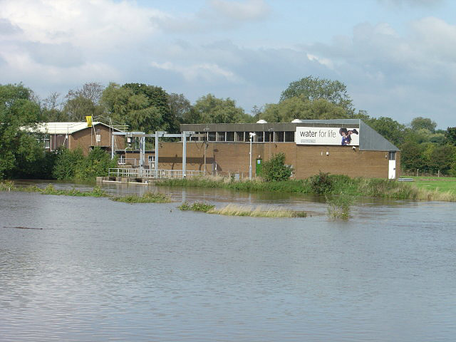
Water extraction (or water withdrawal) is the process of taking water from any source, either temporarily or permanently, for flood control or to obtain water for, for example, irrigation. The extracted water could also be used as drinking water after suitable treatment. Depending on the environmental legislation in the country, controls may be placed on extraction to limit the amount of water that can be removed. The over-extraction of water can lead to dry rivers or declining groundwater levels. The science of hydrogeology is used to determine safe water extraction levels. Water can go through dams that are used to regulate or stop water from coming though, creating hydroelectricity. Effects of overextraction Saltwater intrusion See also * Atmospheric water generator * Desalination * Reclaimed water * Groundwater extraction Water extraction (or water withdrawal) is the process of taking water from any source, either temporarily or permanently, for flood control o ... [...More Info...] [...Related Items...] OR: [Wikipedia] [Google] [Baidu] |
Subsidence
Subsidence is a general term for downward vertical movement of the Earth's surface, which can be caused by both natural processes and human activities. Subsidence involves little or no horizontal movement, which distinguishes it from slope movement. Processes that lead to subsidence include dissolution of underlying carbonate rock by groundwater; gradual compaction of sediments; withdrawal of fluid lava from beneath a solidified crust of rock; mining; pumping of subsurface fluids, such as groundwater or petroleum; or warping of the Earth's crust by tectonic forces. Subsidence resulting from tectonic deformation of the crust is known as tectonic subsidence and can create accommodation for sediments to accumulate and eventually lithify into sedimentary rock. Ground subsidence is of global concern to geologists, geotechnical engineers, surveyors, engineers, urban planners, landowners, and the public in general.National Research Council, 1991. ''Mitigating losses from land subsi ... [...More Info...] [...Related Items...] OR: [Wikipedia] [Google] [Baidu] |
Laser Designator
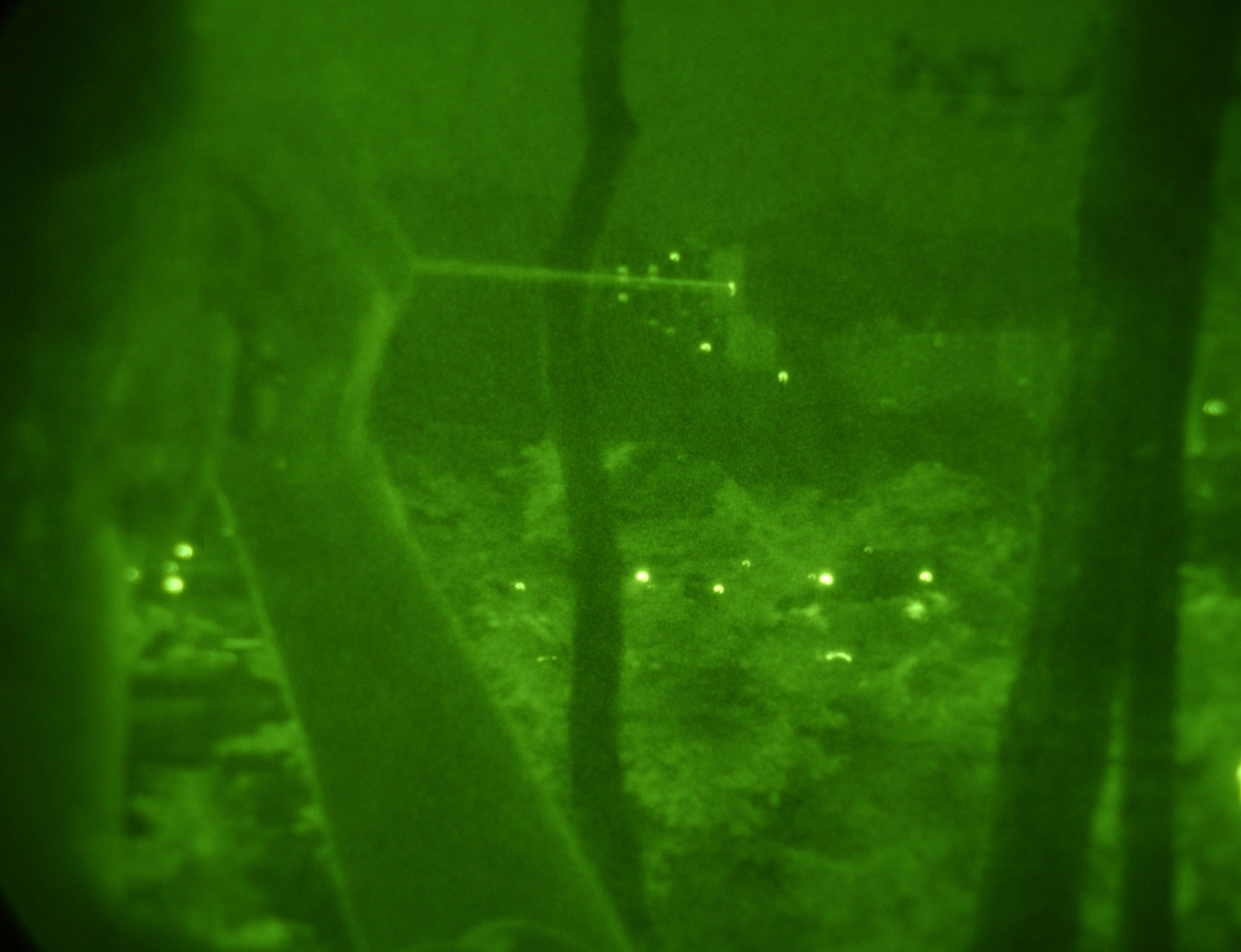
A laser designator is a laser light source which is used to designate a target. Laser designators provide targeting for laser-guided bombs, missiles, or precision artillery munitions, such as the Paveway series of bombs, AGM-114 Hellfire, or the M712 Copperhead round, respectively. When a target is marked by a designator, the beam is invisible and does not shine continuously. Instead, a series of coded laser pulses, also called PRF codes (pulse repetition frequency), are fired at the target. These signals bounce off the target into the sky, where they are detected by the seeker on the laser-guided munition, which steers itself towards the centre of the reflected signal. Unless the people being targeted possess laser detection equipment or can hear aircraft overhead, it is extremely difficult for them to determine whether they are being marked. Laser designators work best in clear atmospheric conditions. Cloud cover, rain or smoke can make reliable designation of targets diffi ... [...More Info...] [...Related Items...] OR: [Wikipedia] [Google] [Baidu] |
Atlas Obscura
''Atlas Obscura'' is an American-based online magazine and travel company. It was founded in 2009 by author Joshua Foer and documentary filmmaker/author Dylan Thuras. It catalogs unusual and obscure travel destinations via user-generated content. The articles on the website cover a number of topics including history, science, food, and obscure places. History Thuras and Foer met in 2007, and soon discussed ideas for a different kind of atlas, featuring places not commonly found in guidebooks. They hired a web designer in 2008 and launched ''Atlas Obscura'' in 2009. Sommer Mathis (formerly of '' The Atlantic's'' CityLab) was the site's Editor in Chief from 2017 to 2020. She was succeeded by Samir Patel, formerly of ''Archaeology'' magazine, who became the site's Editorial Director in 2020 and Editor in Chief in 2021. David Plotz remained as the site's CEO for five years (October 2014 — November 2019). Warren Webster, former president and CEO of digital publisher ''Coveteur ... [...More Info...] [...Related Items...] OR: [Wikipedia] [Google] [Baidu] |


.jpg)