|
Connecticut Route 43
Route 43 is a Connecticut state highway. It is long and runs north–south within the town of Cornwall. It connects the town center with the village of Cornwall Hollow near the Canaan town line. Route description Route 43 begins at the intersection with Route 4 and Route 128 just east of the town center of Cornwall. It runs north for , crosses the Hollenbeck River, continues for another , then crosses the Hollenbeck River a second time as it enters the village of Cornwall Hollow. In Cornwall Hollow, Route 43 passes by the General Sedgwick Rest Area, a picnic area along the highway. It continues north another to an intersection with Route 63 in northern Cornwall just south of the Canaan town line. Route 43 is known as Cornwall Hollow Road for its entire length. History The main road connecting the towns of Cornwall and Canaan was designated as a state highway in 1922, and was known as Highway 132. The road began in Cornwall center, passed through the villages of Cornw ... [...More Info...] [...Related Items...] OR: [Wikipedia] [Google] [Baidu] |
Cornwall, Connecticut
Cornwall is a town in Litchfield County, Connecticut, United States. The population was 1,567 at the 2020 census. History The town of Cornwall, Connecticut, is named after the county of Cornwall, England. The town was incorporated in 1740, nearly four decades before the United States declared its independence. The town encompasses three distinct townships: Cornwall Bridge and West Cornwall, each bordered by the Housatonic River to the west, and Cornwall Village, located three miles east of the river. One significant natural feature is the vast amount of forested land, including hundreds of acres of Mohawk State Forest, resulting in Cornwall often being called “the “Greenest Town in Connecticut”. The proximity of its settlements to the Housatonic River offered an efficient means of transporting materials and goods, which helped stimulate Cornwall's early farming economy as well as assisting in the evolution of business and industry. During the 19th century and the arrival o ... [...More Info...] [...Related Items...] OR: [Wikipedia] [Google] [Baidu] |
Litchfield County, Connecticut
Litchfield County is in northwestern Connecticut. As of the 2020 census, the population was 185,186. The county was named after Lichfield, in England. Litchfield County has the lowest population density of any county in Connecticut and is the state's largest county by area. Litchfield County comprises the Torrington, CT Micropolitan Statistical Area, which is included in the New York–Newark, NY– NJ–CT– PA Combined Statistical Area. As is the case with the other seven Connecticut counties, there is no county government and no county seat. Each town is responsible for all local services such as schools, snow removal, sewers, and fire and police departments. However, in some cases in rural areas, adjoining towns may agree to jointly provide services or even establish a regional school system. History Litchfield County was created on October 9, 1751, by an act of the Connecticut General Court from land belonging to Fairfield, New Haven, and Hartford counties. The ac ... [...More Info...] [...Related Items...] OR: [Wikipedia] [Google] [Baidu] |
Canaan, Connecticut
Canaan is a town in Litchfield County, Connecticut, United States. The population was 1,080 at the 2020 census, down from 1,234 at the 2010 census. The town of Canaan is often referred to locally by the name of its principal settlement, Falls Village. Geography Canaan is in northwestern Litchfield County; it is bordered to the north by the town of North Canaan, to the east by Norfolk, to the south by Cornwall, and to the west, across the Housatonic River, by Salisbury. It is northwest of Torrington, north of Danbury, and south of Great Barrington, Massachusetts. According to the United States Census Bureau, the town of Canaan has a total area of , of which are land and , or 0.97%, are water. Principal communities * Falls Village (town center) *Huntsville *Lower City *South Canaan History The town was incorporated in 1739. The name "Canaan" is derived from Hebrew. Demographics As of the census of 2000, there were 1,081 people, 445 households, and 298 families residing ... [...More Info...] [...Related Items...] OR: [Wikipedia] [Google] [Baidu] |
Connecticut Route 4
Route 4 is an east–west primary state highway connecting rural Litchfield County to the Greater Hartford area of the U.S. state of Connecticut. It runs from the town of Sharon to the town of West Hartford. Route description Route 4 begins at the junction of Route 41 and Route 343 in Sharon as a rural, minor arterial road. In Cornwall, it briefly overlaps with US 7 to cross the Housatonic River on the Cornwall Bridge. Farther east in Cornwall, it intersects with Routes 125, 43, and 128 before crossing into Goshen. In Goshen, it meets Route 63 at a roundabout in the center of town. After entering Torrington, the road becomes more of a principal arterial road upon meeting the southern end of Route 272. After skirting the northern edge of downtown, it meets the Route 8 freeway at exit 44 and briefly overlaps with US 202 just east of the interchange. The road turns southeast and returns to more of a rural character, meeting the southern end ... [...More Info...] [...Related Items...] OR: [Wikipedia] [Google] [Baidu] |
Connecticut Route 128
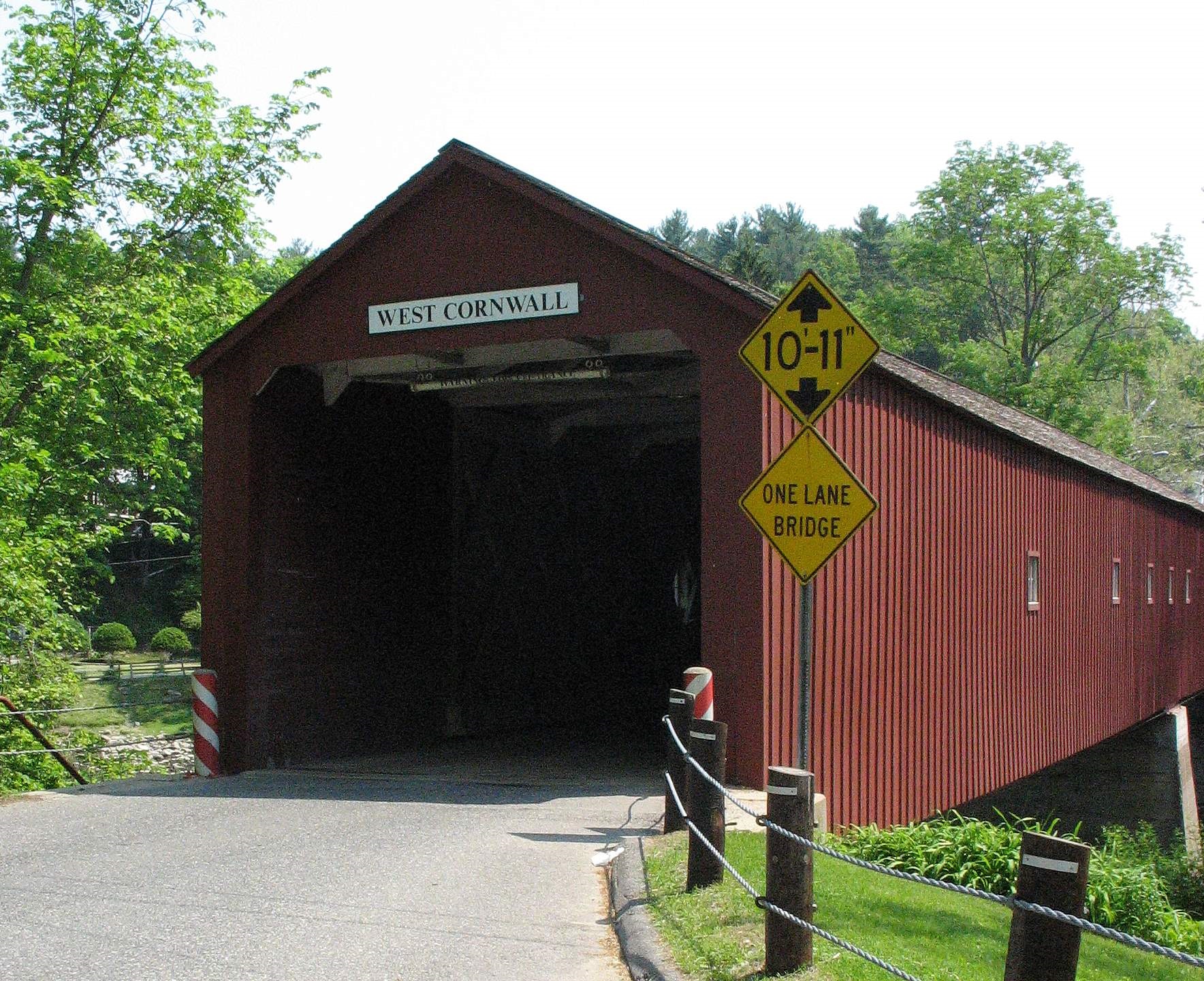
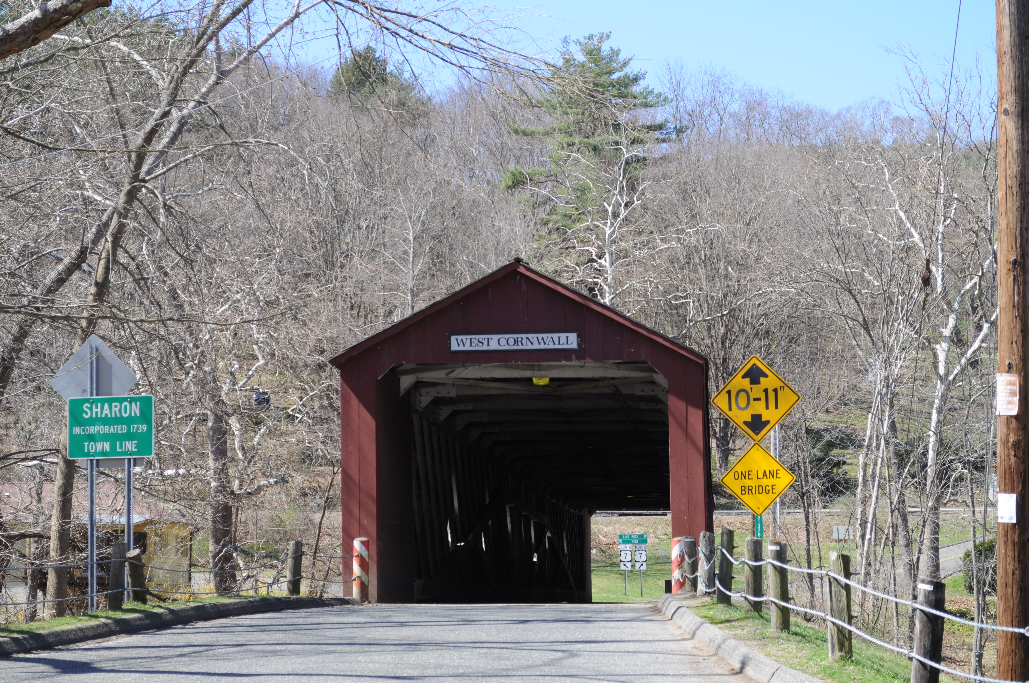
Route 128 is a minor state highway in northwestern Connecticut, running from U.S. Route 7 in Sharon to Route 4 in Cornwall. Route description Route 128 begins at an intersection with US 7 on the west bank of the Housatonic River within the town of Sharon. It heads east and immediately crosses the Housatonic River via the West Cornwall Covered Bridge (a wooden deck bridge) into the village of West Cornwall in the town of Cornwall. Route 128 then continues east for , passing by a state highway picnic area, then turns south. About beyond the picnic area, Route 125 splits off to the south heading for Cornwall center. Route 128 continues southeast for another until it ends at an intersection with Route 4 and Route 43 in the village of Cornwall Hollow. In Cornwall, Route 128 is known as the Sharon-Goshen Turnpike. Route 128 is a two-lane rural collector road A collector road or distributor road is a low-to-moderate-capacity road which serves to move traffic from local streets ... [...More Info...] [...Related Items...] OR: [Wikipedia] [Google] [Baidu] |
Hollenbeck River
Hollenbeck may refer to: Places in the United States * Hollenbeck Middle School, Los Angeles, California *Hollenbeck Park, Boyle Heights, Los Angeles, California *LAPD Hollenbeck Division, part of Los Angeles Police Department, California * Hollenbeck Hall, listed on the National Register of Historic Places in Wapello County, Iowa Wapello County is a county located in the U.S. state of Iowa. As of the 2020 census, the population was 35,437. The county seat is Ottumwa. The county was formed on February 17, 1843, and named for Wapello, a Meskwaki chief. Wapello County ... Other uses * Hollenbeck (surname) {{disambiguation ... [...More Info...] [...Related Items...] OR: [Wikipedia] [Google] [Baidu] |
Connecticut Route 63
Route 63 is a secondary state highway in the U.S. state of Connecticut, from New Haven up to Canaan, running for . It connects the Greater New Haven area to Northwestern Connecticut via the western suburbs of Waterbury. Route description Route 63 follows a mostly northwest-southeast path its entire route, and is mostly a 2 lane road with some 4 lane sections. It begins at the corner of Whalley Avenue and Fitch Street in New Haven where Route 10 turns onto Fitch Street. Heading northwest on Whalley Avenue, it almost immediately passes the eastern end of Route 243 and the northern end of Route 122. About 0.6 miles later, it leaves Whalley Avenue for Amity Road at the southern end of Route 69. It then passes under the Wilbur Cross Parkway ( Route 15), offering southbound access only. After crossing into Woodbridge, the road becomes less suburban in nature. In Woodbridge, it intersects the eastern end of Route 114, and the southern/eastern end of Route 67. It then crosses ... [...More Info...] [...Related Items...] OR: [Wikipedia] [Google] [Baidu] |
Falls Village, Connecticut
Falls Village is a village and census-designated place in the town of Canaan in Litchfield County, Connecticut, United States. As of the 2010 census it had a population of 538, out of 1,234 in the entire town of Canaan. Because Falls Village is the town center and principal constituent village in Canaan, the entire town is often referred to as "Falls Village". That usage also avoids confusion of the town with Canaan Village in the town of North Canaan, Connecticut, just to the north. Falls Village derives its name from a waterfall, known as Great Falls, on the Housatonic River within the village. The Falls Village post office is assigned ZIP code 06031, which encompasses the entire town of Canaan. Geography Falls Village is on the western side of the town of Canaan in northwestern Connecticut. The western edge of the census-designated place is the Canaan–Salisbury town line following the Housatonic River, it extends north of the village as far as Page Road, and south to a pow ... [...More Info...] [...Related Items...] OR: [Wikipedia] [Google] [Baidu] |
Route 63 (Connecticut)
Route 63 is a secondary state highway in the U.S. state of Connecticut, from New Haven up to Canaan, running for . It connects the Greater New Haven area to Northwestern Connecticut via the western suburbs of Waterbury. Route description Route 63 follows a mostly northwest-southeast path its entire route, and is mostly a 2 lane road with some 4 lane sections. It begins at the corner of Whalley Avenue and Fitch Street in New Haven where Route 10 turns onto Fitch Street. Heading northwest on Whalley Avenue, it almost immediately passes the eastern end of Route 243 and the northern end of Route 122. About 0.6 miles later, it leaves Whalley Avenue for Amity Road at the southern end of Route 69. It then passes under the Wilbur Cross Parkway ( Route 15), offering southbound access only. After crossing into Woodbridge, the road becomes less suburban in nature. In Woodbridge, it intersects the eastern end of Route 114, and the southern/eastern end of Route 67. It then crosses ... [...More Info...] [...Related Items...] OR: [Wikipedia] [Google] [Baidu] |
Route 126 (Connecticut)
Route 126 is a minor state highway in northwestern Connecticut, running from Route 63 in Canaan to U.S. Route 44 in North Canaan. Route description Route 126 begins as Point of Rocks Road splitting off to the west from Route 63 in the Huntsville section of the town of Canaan. Route 63 is signed for the village of South Canaan, while Route 126 heads directly for the town center in Falls Village. In Falls Village, it intersects with U.S. Route 7 and then proceeds to follow Main Street and Brewster Road through the village, then turns north along Sand Road. It follows the east bank of the Housatonic River as it heads into the town of North Canaan, crossing the Housatonic Valley Railroad tracks, then shifting to Belden Street. After crossing the town line, it ends after at an intersection with U.S. Route 44 in the southwest corner of North Canaan. History The Huntsville to Falls Village section of modern Route 126 was originally the eastern half of the Salisbury and Canaan Turnp ... [...More Info...] [...Related Items...] OR: [Wikipedia] [Google] [Baidu] |
1932 State Highway Renumbering (Connecticut)
In 1932, the Highway Department of the U.S. state of Connecticut (now known as the Connecticut Department of Transportation), decided to completely renumber all its state highways. The only exceptions were the U.S. Highways and some of the New England Interstate Routes. Between 1922 and 1932, Connecticut used a state highway numbering system shared with the other New England states. Major inter-state trunk routes used numbers in the 1-99 range, primary intrastate highways used numbers in the 100-299 range, and secondary state highways used numbers in the 300+ range. In 1926, at the behest of the American Association of State Highway Officials, four of the nine New England Interstate Routes that passed through Connecticut became U.S. Routes. At this time, the adjacent states of Massachusetts and Rhode Island abandoned the New England highway numbering system but Connecticut still used it for several more years. This led to a situation where U.S. Routes were co-signed with New Englan ... [...More Info...] [...Related Items...] OR: [Wikipedia] [Google] [Baidu] |
Bridgeport Telegram
The ''Connecticut Post'' is a daily newspaper located in Bridgeport, Connecticut. It serves Fairfield County, Connecticut, Fairfield County and the Lower Naugatuck Valley. Municipalities in the Post's circulation area include Ansonia, Connecticut, Ansonia, Bridgeport, Connecticut, Bridgeport, Darien, Connecticut, Darien, Derby, Connecticut, Derby, Easton, Connecticut, Easton, Fairfield, Connecticut, Fairfield, Milford, Connecticut, Milford, Monroe, Connecticut, Monroe, New Canaan, Connecticut, New Canaan, Orange, Connecticut, Orange, Oxford, Connecticut, Oxford, Redding, Connecticut, Redding, Ridgefield, Connecticut, Ridgefield, Seymour, Connecticut, Seymour, Shelton, Connecticut, Shelton, Stratford, Connecticut, Stratford, Trumbull, Connecticut, Trumbull, Weston, Connecticut, Weston, Westport, Connecticut, Westport and Wilton, Connecticut, Wilton. The newspaper is owned and operated by the Hearst Communications, Hearst Corporation, a multinational corporation, multinational corp ... [...More Info...] [...Related Items...] OR: [Wikipedia] [Google] [Baidu] |


