|
Cloud-forest Pygmy Owl
The cloud-forest pygmy owl or cloudforest pygmy owl (''Glaucidium nubicola'') is a short, muscular, small-sized species of owl found throughout the Andes of western Colombia and north-western Ecuador, being confined to cloud forests between 900–2000 m a.s.l.Freile, J.F.; Chaves, J.A.; Iturralde, G. & Guevara, E. (2003). Notes on the distribution, habitat and conservation of the cloud-forest pigmy-owl (''Glaucidium nubicola'') in Ecuador. ''Ornitología Neotropical,'' 14: 275–278. Below this altitudinal range the Central American pygmy owl (''Glaucidium griseiceps'') occurs; above it, the Andean pygmy owl (''Glaucidium jardinii'') occurs. Its epithet ''nubicola'' is Latin for “cloud-inhabiting”, because this species is restricted to very humid cloud forests.Robbins, M.B. & Stiles, F.G. (1999). A new species of pygmy-owl (Strigidae: ''Glaucidium'') from the Pacific slope of the northern Andes. ''Auk'', 116: 305–315. Taxonomy and systematics The cloud-forest pygmy owl ... [...More Info...] [...Related Items...] OR: [Wikipedia] [Google] [Baidu] |
Andes
The Andes, Andes Mountains or Andean Mountains (; ) are the longest continental mountain range in the world, forming a continuous highland along the western edge of South America. The range is long, wide (widest between 18°S – 20°S latitude), and has an average height of about . The Andes extend from north to south through seven South American countries: Venezuela, Colombia, Ecuador, Peru, Bolivia, Chile, and Argentina. Along their length, the Andes are split into several ranges, separated by intermediate depressions. The Andes are the location of several high plateaus—some of which host major cities such as Quito, Bogotá, Cali, Arequipa, Medellín, Bucaramanga, Sucre, Mérida, El Alto and La Paz. The Altiplano plateau is the world's second-highest after the Tibetan plateau. These ranges are in turn grouped into three major divisions based on climate: the Tropical Andes, the Dry Andes, and the Wet Andes. The Andes Mountains are the highest m ... [...More Info...] [...Related Items...] OR: [Wikipedia] [Google] [Baidu] |
Synapomorphy
In phylogenetics, an apomorphy (or derived trait) is a novel character or character state that has evolved from its ancestral form (or plesiomorphy). A synapomorphy is an apomorphy shared by two or more taxa and is therefore hypothesized to have evolved in their most recent common ancestor. ) In cladistics, synapomorphy implies homology. Examples of apomorphy are the presence of erect gait, fur, the evolution of three middle ear bones, and mammary glands in mammals but not in other vertebrate animals such as amphibians or reptiles, which have retained their ancestral traits of a sprawling gait and lack of fur. Thus, these derived traits are also synapomorphies of mammals in general as they are not shared by other vertebrate animals. Etymology The word —coined by German entomologist Willi Hennig—is derived from the Ancient Greek words (''sún''), meaning "with, together"; (''apó''), meaning "away from"; and (''morphḗ''), meaning "shape, form". Clade analysis T ... [...More Info...] [...Related Items...] OR: [Wikipedia] [Google] [Baidu] |
Flight
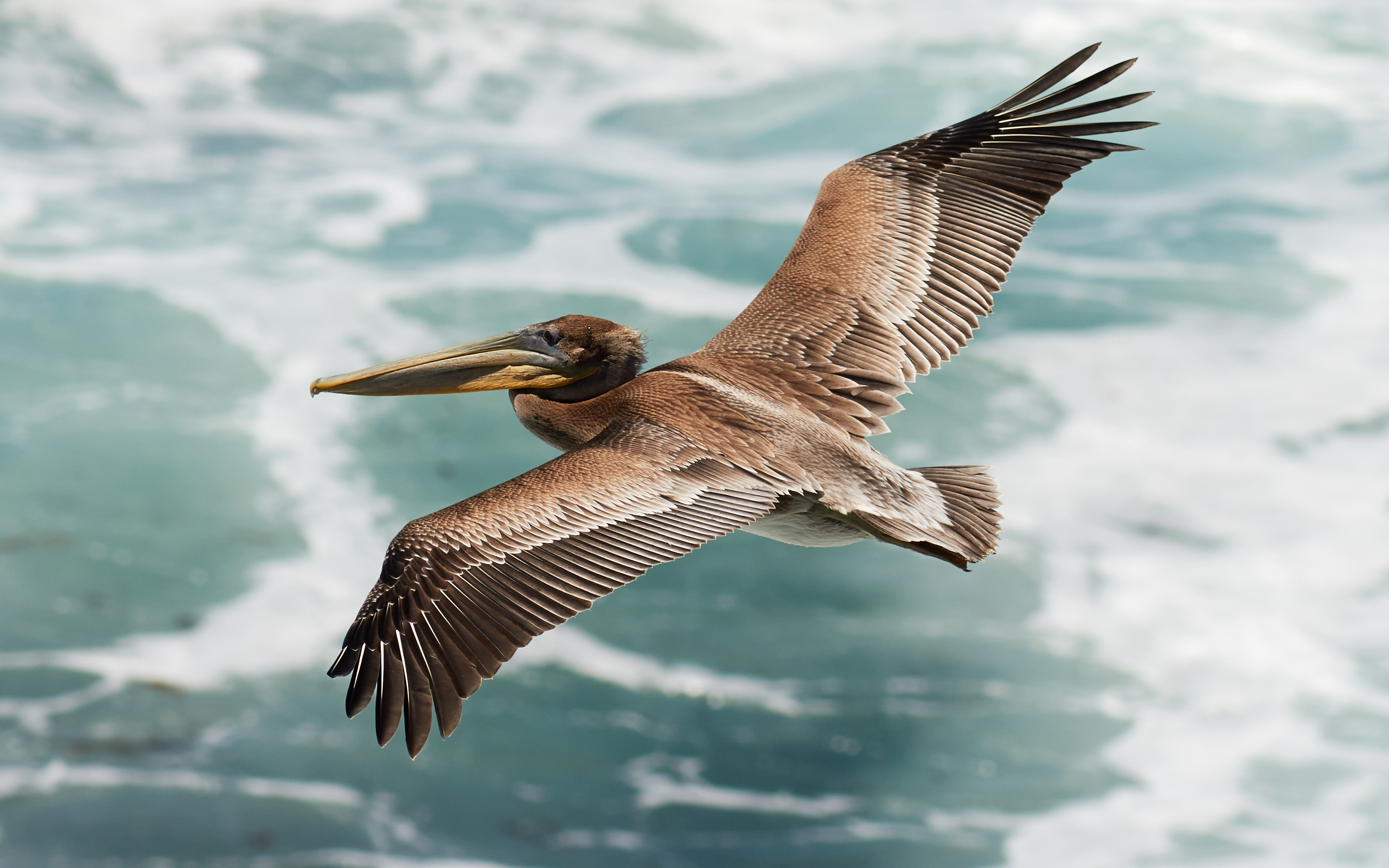
Flight or flying is the process by which an object moves through a space without contacting any planetary surface, either within an atmosphere (i.e. air flight or aviation) or through the vacuum of outer space (i.e. spaceflight). This can be achieved by generating lift (force), aerodynamic lift associated with gliding flight, gliding or air propulsion, propulsive thrust, aerostatically using buoyancy, or by ballistics, ballistic movement. Many things can fly, from Flying and gliding animals, animal aviators such as birds, bats and insects, to natural gliders/parachuters such as patagium, patagial animals, anemochorous seeds and ballistospores, to human inventions like aircraft (airplanes, helicopters, airships, balloons, etc.) and rockets which may propel spacecraft and spaceplanes. The engineering aspects of flight are the purview of aerospace engineering which is subdivided into aeronautics, the study of vehicles that travel through the atmosphere, and astronautics, the stud ... [...More Info...] [...Related Items...] OR: [Wikipedia] [Google] [Baidu] |
Ambush Predator
Ambush predators or sit-and-wait predators are carnivorous animals that capture or trap prey via stealth, luring or by (typically instinctive) strategies utilizing an element of surprise. Unlike pursuit predators, who chase to capture prey using sheer speed or endurance, ambush predators avoid fatigue by staying in concealment, waiting patiently for the prey to get near, before launching a sudden overwhelming attack that quickly incapacitates and captures the prey. The ambush is often opportunistic, and may be set by hiding in a burrow, by camouflage, by aggressive mimicry, or by the use of a trap (e.g. a web). The predator then uses a combination of senses to detect and assess the prey, and to time the strike. Nocturnal ambush predators such as cats and snakes have vertical slit pupils helping them to judge the distance to prey in dim light. Different ambush predators use a variety of means to capture their prey, from the long sticky tongues of chameleons to the expandin ... [...More Info...] [...Related Items...] OR: [Wikipedia] [Google] [Baidu] |
Woodpecker
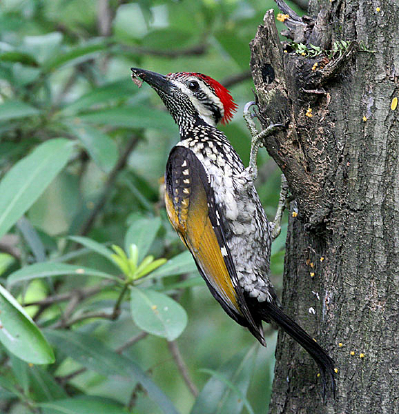
Woodpeckers are part of the bird family Picidae, which also includes the piculets, wrynecks, and sapsuckers. Members of this family are found worldwide, except for Australia, New Guinea, New Zealand, Madagascar, and the extreme polar regions. Most species live in forests or woodland habitats, although a few species are known that live in treeless areas, such as rocky hillsides and deserts, and the Gila woodpecker specialises in exploiting cacti. Members of this family are chiefly known for their characteristic behaviour. They mostly forage for insect prey on the trunks and branches of trees, and often communicate by drumming with their beaks, producing a reverberatory sound that can be heard at some distance. Some species vary their diet with fruits, birds' eggs, small animals, tree sap, human scraps, and carrion. They usually nest and roost in holes that they excavate in tree trunks, and their abandoned holes are of importance to other cavity-nesting birds. They sometimes com ... [...More Info...] [...Related Items...] OR: [Wikipedia] [Google] [Baidu] |
Old-growth Forest
An old-growth forestalso termed primary forest, virgin forest, late seral forest, primeval forest, or first-growth forestis a forest that has attained great age without significant disturbance, and thereby exhibits unique ecological features, and might be classified as a climax community. The Food and Agriculture Organization of the United Nations defines primary forests as naturally regenerated forests of native tree species where there are no clearly visible indications of human activity and the ecological processes are not significantly disturbed. More than one-third (34 percent) of the world's forests are primary forests. Old-growth features include diverse tree-related structures that provide diverse wildlife habitat that increases the biodiversity of the forested ecosystem. Virgin or first-growth forests are old-growth forests that have never been logged. The concept of diverse tree structure includes multi-layered canopies and canopy gaps, greatly varying tree height ... [...More Info...] [...Related Items...] OR: [Wikipedia] [Google] [Baidu] |
Loja Province
Loja Province () is one of 24 provinces in Ecuador and shares its southern border on the west with El Oro Province, on the north with El Azuay, and on the east with Zamora-Chinchipe. Founded on its present site in 1548 by Captain Alonso de Mercadillo (Spanish), the site had been previously moved and rebuilt from La Toma due to earthquakes. It also is named as "Cuxibamba Valley", from the Quichua language, which means the "Smiley Valley". Overview Loja is located in a high Andean valley at an elevation of 7,300 feet (2,225 m). It had a population of 448,966 inhabitants at the 2010 census. It is recognized as being a friendly and pleasant city. This was demonstrated when Loja, both the provincial capital and one of the oldest cities in Ecuador, won a community involvement award in 2001 in recognition of the community's ongoing effort to support and to protect the environment. Surrounded by two rivers, the Zamora and Malacatos, Loja has a variety of microclimates. This uni ... [...More Info...] [...Related Items...] OR: [Wikipedia] [Google] [Baidu] |
Azuay Province
Azuay (), Province of Azuay is a province of Ecuador, created on 25 June 1824. It encompasses an area of . Its capital is Cuenca. It is located in the south center of Ecuador in the highlands. Its mountains reach above sea level in the national park of El Cajas. Azuay is located on the Panamerican Highway. Cuenca is connected by national flights from Quito and Guayaquil. It has the largest hydroelectric plant of the country, situated on the river Paute. Demographics Ethnic groups as of the Ecuadorian census of 2010: * Mestizo 90% * White 5.2% * Indigenous 2.5% * Afro-Ecuadorian 2.2% * Other 0.2% Cantons The province is divided into 15 cantons. The following table lists each with its population at the 2010 census, its area in square kilometres (km2), and the name of the canton seat or capital. Statoids.com. Retrieved 4 November ... [...More Info...] [...Related Items...] OR: [Wikipedia] [Google] [Baidu] |
Pacific Slope
The Pacific Slope describes geographic regions in North American, Central American, and South American countries that are west of the continental divide and slope down to the Pacific Ocean. In North America, the Rocky Mountains mark the eastern border of the Pacific Slope. In Central and South America, the region is much narrower, confined by the Sierra Madre Occidental in Central America, and by the Andes in South America. The phrase is still used today mostly for scientific purposes to refer to regions inhabited by specific species. It was and is still occasionally used to describe the region in North America during the 19th century and the expansion of the Old West. It includes the states and territories west of the continental divide that runs down the Rocky Mountains in North America. This included the territories and the states that emerged from them, including California, Oregon Territory, Washington Territory, Nevada Territory, Idaho Territory, Colorado Territory, and Utah ... [...More Info...] [...Related Items...] OR: [Wikipedia] [Google] [Baidu] |
El Oro Province
El Oro (; ''oro'' = gold) is the southernmost of Ecuador's coastal provinces. It was named for its historically important gold production. Today it is one of the world's major exporters of bananas. The capital is Machala. History The area was settled by the Inca, who inhabited the area at the time Spanish settlement began in 1549. The Spanish found gold there and mined it, carrying the gold to Spain. The province was named for its historically important gold production. The gold was mined by the Spanish mainly in the late 16th and 17th centuries in the village of Zaruma in the Zaruma Canton. In the 18th century, the earthquake of January 1749 destroyed the mining area. A local rebellion stopped the mining until the Spanish agreed to allow the native people to benefit from the mining. Spain imported gold from the area until the area gained its independence from Spain in 1820. Philip II of Spain granted the village the title of "Villa de Sant Antonio del Zerro de Oro de Zaruma" ... [...More Info...] [...Related Items...] OR: [Wikipedia] [Google] [Baidu] |
Cotopaxi Province
Cotopaxi () is one of the provinces of Ecuador. The capital is Latacunga. The province contains the Cotopaxi Volcano, an intermittent volcano with a height of . Cantons The province is divided into 7 cantons. The following table lists each canton with its population (per the 2001 census), its area in square kilometres (km2), and the name of the canton seat ( capital). Demographics Ethnic groups as of the Ecuadorian census of 2010: * Mestizo 72.1% *Indigenous 22.1% *White 2.3% * Montubio 1.8% * Afro-Ecuadorian 1.7% *Other 0.1% See also * Cotopaxi National Park * Llanganates National Park * Panzaleo (ethnic group) * Provinces of Ecuador Ecuador is divided into 24 provinces ( es, provincias, singular''provincia''). The provinces of Ecuador and their capitals are: List 1 Population as per the census carried out on 2010-11-28 In addition, there were four areas that were non-del ... * Cantons of Ecuador * Centro de Levantamientos Integrados de Recursos Nat ... [...More Info...] [...Related Items...] OR: [Wikipedia] [Google] [Baidu] |
Risaralda Department
Risaralda () or "Rizaralde", is a landlocked department of Colombia. It is located in the western central region of the country and part of the Paisa Region. Its capital is Pereira. It was divided from the department of Caldas in 1966. Risaralda is very well known for the high quality of its coffee, and a booming industry: clothes, food, trading of goods and services. The territory is very mountainous and has many kinds of climates in a very small area. Its proximity to harbours such as Goodventure on the Pacific Ocean and to the biggest cities in Colombia – Bogota, Cali, Medellin – makes it a fast-growing economic centre. Geography Risaralda department with an area of , is located in the central sector of the central Andean region west of the country between two major poles of economic development (department of Antioquia in northern and southern Cauca Valley, extending between the central and western Cordillera), which slopes down toward the Río Cauca, a ... [...More Info...] [...Related Items...] OR: [Wikipedia] [Google] [Baidu] |

.jpg)


