|
Cherokee Park
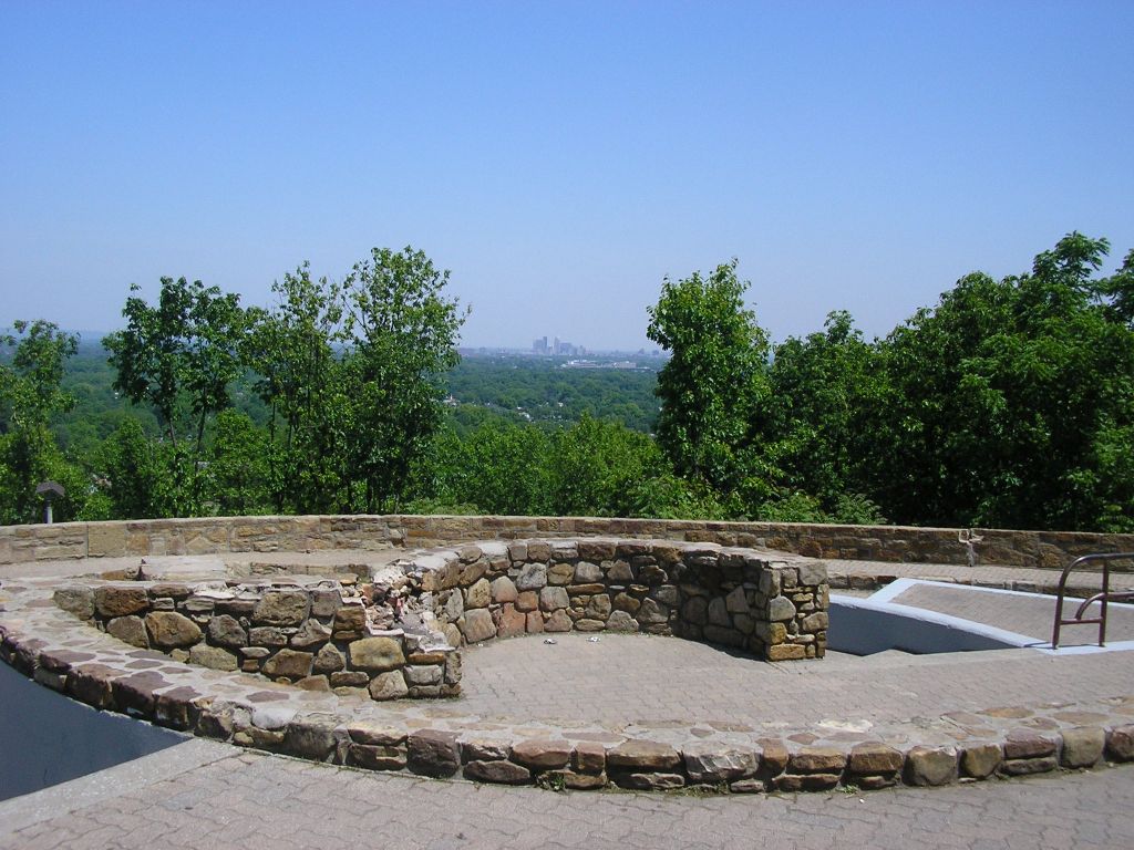
Cherokee Park is a municipal park located in Louisville, Kentucky, United States and is part of the Louisville Olmsted Parks Conservancy. It was designed in 1891 by Frederick Law Olmsted, the father of landscape architecture along with 18 of Louisville's 123 parks. Beargrass Creek runs through much of the park, and is crossed by numerous pedestrian and automobile bridges. According to The Trust for Public Land, Cherokee Park has 500,000 visitors annually, making it tied for the 69th most popular municipal park in the United States. The park features a 2.4 mile Scenic Loop through the park's pastoral setting featuring rolling hills, open meadows and woodlands with separate lanes for vehicle traffic (one-way) and recreational users. The park was closed to vehicular traffic in April of 2020 to aid in social distancing and as of May 2021 remains closed to automobiles indefinitely. History Cherokee Park opened in 1891, has always been a major draw, and was a key factor in spar ... [...More Info...] [...Related Items...] OR: [Wikipedia] [Google] [Baidu] |
Louisville Metro Parks
Following is a list of parks, forests and nature preserves in the Louisville metropolitan area. Louisville Metro (Jefferson County) Frederick Law Olmsted Parks The Frederick Law Olmsted Parks (formerly called the Olmsted Park System) in Louisville was the last of five such systems designed by Frederick Law Olmsted. All of the parks in this system are managed by Louisville Metro Parks. Flagship * Cherokee Park * Iroquois Park * Shawnee Park Other parks * Algonquin Park * Baxter Square * Bingham Park — Originally known as Clifton Park (Locals called it Coral Park) * Boone Square * Central Park * Chickasaw Park * Churchill Park * Elliott Square * Seneca Park * Shelby Park * William B. Stansbury Park — Originally known as Third Street Playground * Tyler Park * Victory Park * Wayside Park * Willow Park — Originally part of the main entrance to Cherokee Park Parkways * Algonquin Parkway * Eastern Parkway * Northwestern Parkway * Southern Parkway * Southwestern Par ... [...More Info...] [...Related Items...] OR: [Wikipedia] [Google] [Baidu] |
Eastern Parkway (Louisville, Kentucky)
The parkway system of Louisville, Kentucky, also known as the Olmsted Park System, was designed by the firm of preeminent 19th century landscape architect Frederick Law Olmsted. The system was built from the early 1890s through the 1930s, and initially owned by a state-level parks commission, which passed control to the city of Louisville in 1942. The system was intended to form a circuit around what was then the fringes of the city of Louisville. However, there is a disconnect of several blocks between Eastern and Southern Parkways, because of a planned parkway running from the terminus of Western (today's Northwestern) Parkway along the Ohio River and around to Eastern Parkway was never built. Today, the system falls under direct management of the Louisville Olmsted Parks Conservancy, and under broader supervision by Louisville's Metro Parks Department Development The system was first proposed in 1887 by businessman Andrew Cowan, an enthusiastic early supporter of Louisvil ... [...More Info...] [...Related Items...] OR: [Wikipedia] [Google] [Baidu] |
Bonnycastle, Louisville
Bonnycastle is a neighborhood four miles (6 km) southeast of downtown Louisville, Kentucky USA. It is considered a part of a larger area of Louisville called The Highlands. Its boundaries are Bardstown Road, Cherokee Road, Eastern Parkway and Speed Avenue. History In 1848, merchant Isaac Everett purchased a farm from the Angereau Gray family. He built a mansion house there in 1863 and called the estate Walnut Grove. His daughter, Harriet, married John Bonnycastle, to whom he gave the estate upon his death. The couple moved into the mansion in 1868 and raised nine children. The family began subdividing land on present day Sherwood Avenue in 1872, though widespread development didn't begin until Cherokee Park was opened and a street car line moved out Bardstown Road to the area in the 1890s. The southern portion was subdivided after Mr. Bonnycastle's death and was named "Bonnycastle's Addition" in his honor. Some of the land also went to enlarge Cherokee Park. The original ma ... [...More Info...] [...Related Items...] OR: [Wikipedia] [Google] [Baidu] |
Cherokee Triangle
The Cherokee Triangle is a historic neighborhood in Louisville, Kentucky, USA, known for its large homes displaying an eclectic mix of architectural styles. Its boundaries are Bardstown Road to the southwest, Cherokee Park and Eastern Parkway to the southeast, and Cave Hill Cemetery to the north, and is considered a part of a larger area of Louisville called The Highlands. It is named for nearby Cherokee Park, a park designed by Frederick Law Olmsted, the designer of New York's Central Park. History The land was part of a military land grant in 1774 to Southall and Charlton, and changed hands numerous times between then and 1863, when most of the land that is today's neighborhood was purchased by George Douglass. His home was located at the corner of Dearing Court (formerly Douglass Place) and Dudley Avenue, and is now included in the grounds of Cave Hill. In 1869, he sold to realtors James W. Henning and Josiah S. Speed for $135,000. The largest portion of Cherokee T ... [...More Info...] [...Related Items...] OR: [Wikipedia] [Google] [Baidu] |
The Highlands, Louisville
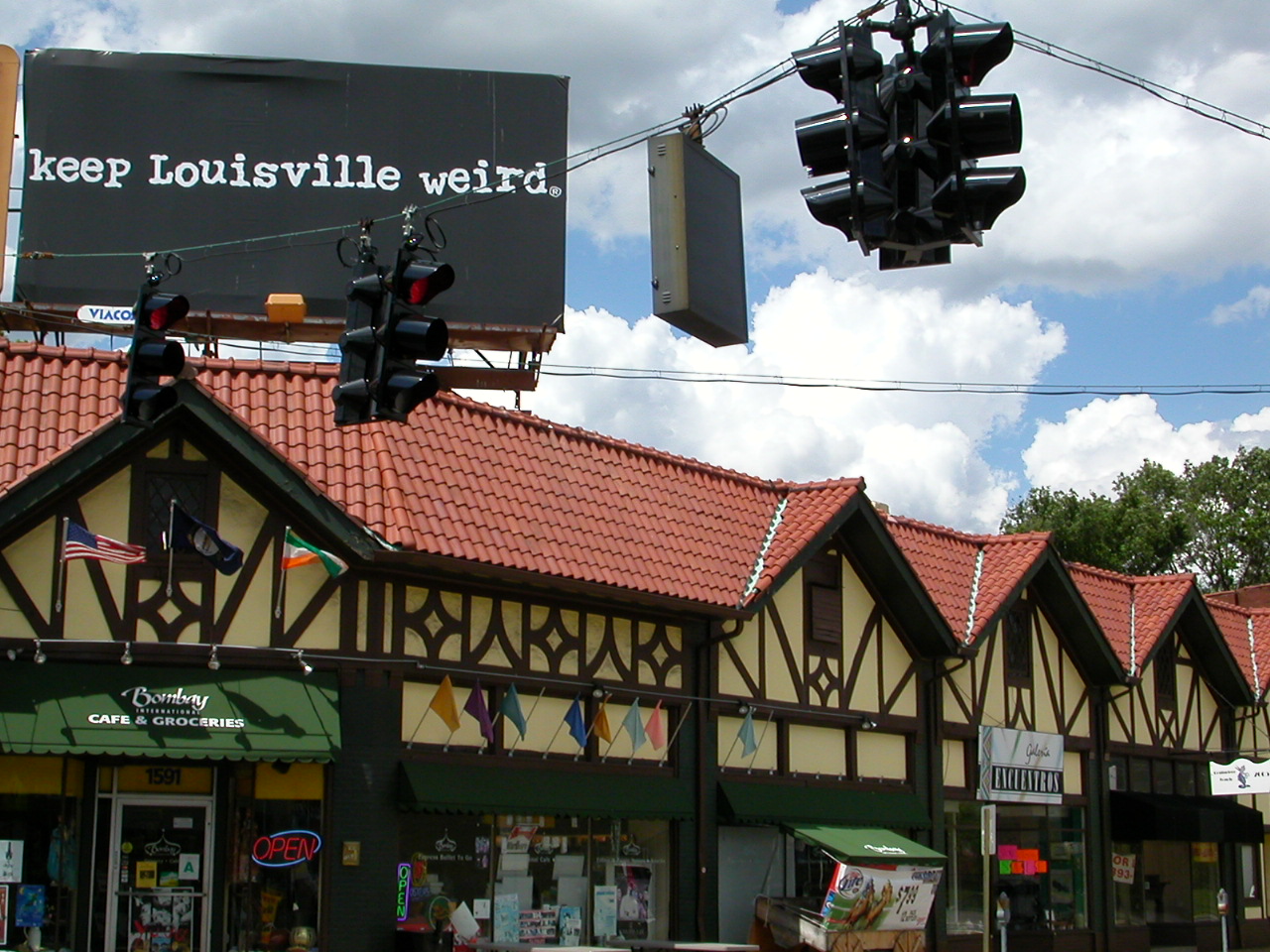
The Highlands is an area in Louisville, Kentucky which contains a high density of nightclubs, eclectic businesses, and many upscale and fast food restaurants. It is centered along a stretch of Bardstown Road and Baxter Avenue (US 31E/US 150) and is so named because it sits atop a ridge between the middle and south forks of Beargrass Creek. The commercial area extends from the intersection of Bardstown Road and Taylorsville Road/Trevillian Way in the south, to the intersection of Baxter Avenue and Lexington Road in the north, a length of . A section of the nearby Barret Avenue also contains many similar businesses. The residential area is separated from other adjacent areas like Germantown and Crescent Hill by the south and north forks of Beargrass Creek. The middle fork runs through Cherokee Park, and the south fork divides Germantown from Tyler Park, after flowing past several cemeteries and undeveloped forests downstream from Joe Creason Park. Due to its large collection ... [...More Info...] [...Related Items...] OR: [Wikipedia] [Google] [Baidu] |
Morris Burke Belknap
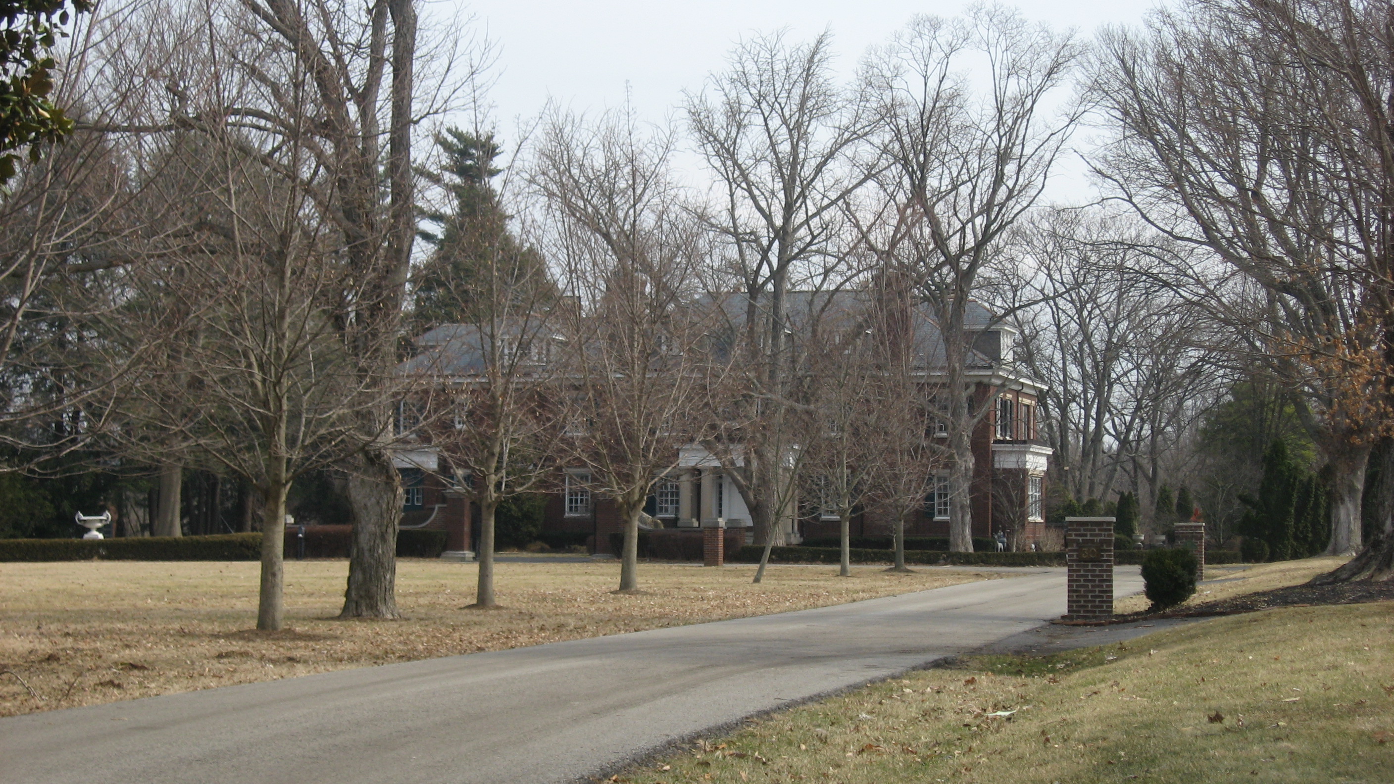
Morris Burke Belknap (June 7, 1856 – April 13, 1910), also known as Colonel Morris Burke Belknap, was an American businessman from Louisville, Kentucky, and the Republican Party (United States), Republican nominee for Governor of Kentucky in 1903. After earning a degree from the Sheffield Scientific School of Yale University, he worked at his father's hardware company. Later, he co-founded an agricultural implement company. In 1883, he married Lily Buckner, with whom he fathered four children. Following the death of his father, Belknap became vice-president of his hardware company, a position which he held for the rest of his life. Lily Buckner Belknap died in 1893, and he married Marion S. Dumont in 1900. In addition to his business career. Belknap served in the Kentucky State Guard, eventually rising to the rank of lieutenant colonel. In 1898, during the Spanish–American War, he served briefly in Puerto Rico prior to the end of hostilities. He was promoted to colonel before h ... [...More Info...] [...Related Items...] OR: [Wikipedia] [Google] [Baidu] |
Pan (mythology)
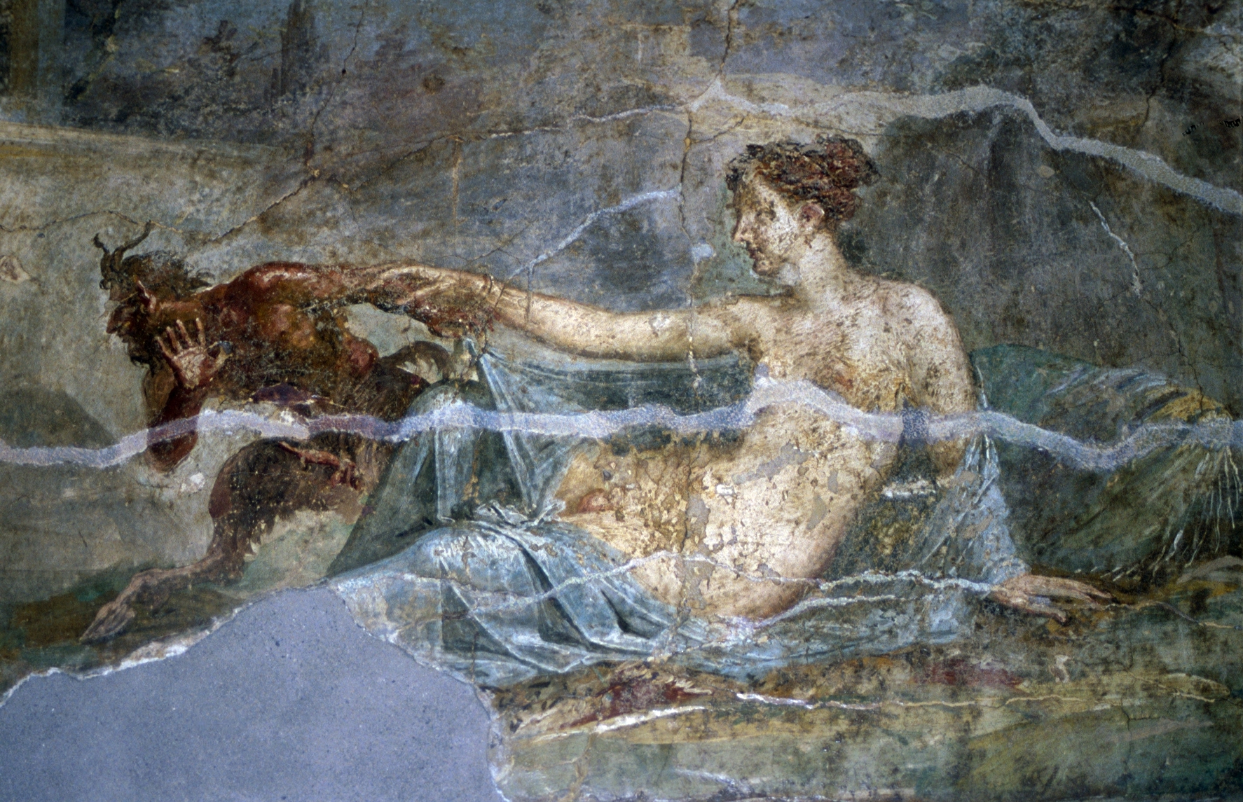
In ancient Greek religion and mythology, Pan (; grc, Πάν, Pán) is the god of the wild, shepherds and flocks, rustic music and impromptus, and companion of the nymphs. He has the hindquarters, legs, and horns of a goat, in the same manner as a faun or satyr. With his homeland in rustic Arcadia, he is also recognized as the god of fields, groves, wooded glens, and often affiliated with sex; because of this, Pan is connected to fertility and the season of spring. In Roman religion and myth, Pan's counterpart was Faunus, a nature god who was the father of Bona Dea, sometimes identified as Fauna; he was also closely associated with Sylvanus, due to their similar relationships with woodlands. In the 18th and 19th centuries, Pan became a significant figure in the Romantic movement of western Europe and also in the 20th-century Neopagan movement. Origins Many modern scholars consider Pan to be derived from the reconstructed Proto-Indo-European god ''*Péh₂usōn'', whom th ... [...More Info...] [...Related Items...] OR: [Wikipedia] [Google] [Baidu] |
Enid Yandell
Enid Yandell (October 6, 1869 – June 12, 1934) was an American sculptor from Louisville, Kentucky who studied with Auguste Rodin in Paris, Philip Martiny in New York City, and Frederick William MacMonnies. Yandell specialized in portrait busts and monuments. She created numerous portraits, garden pieces and small works as well as public monuments. The sculpture collection at the Speed Art Museum in her hometown includes a large number of her works in plaster. She contributed to The Woman's Building at the Chicago World's Fair. Artistic training Yandell was the eldest daughter of Dr. Lunsford Pitts Yandell Jr. and Louise Elliston Yandell of Louisville, Kentucky. Her sister Maud Yandell (1871–1962) also never married; Elsie Yandell (1874–1939) married the American architect Donn Barber and moved to New York; and, their younger brother, Lunsford P. Yandell III (1878–1927) married Elizabeth Hosford of Connecticut and lived in Kentucky. Enid Yandell completed degrees ... [...More Info...] [...Related Items...] OR: [Wikipedia] [Google] [Baidu] |
Anchorage, Kentucky
Anchorage is a home rule-class city in eastern Jefferson County, Kentucky, United States. The population was 2,348 at the 2010 census and an estimated 2,432 in 2018. It is a suburb of Louisville. History The land that is now Anchorage was a part of Isaac Hite's 1773 land grant, which awarded most of the land in today's Jefferson County to officers in the Virginia militia, in exchange for their service in the French and Indian War. Early maps refer to the area as "Hite's Mill", and it has also been known as "Hobbs Station". Part of Hite's original grant now makes up the grounds of Central State Hospital and E. P. "Tom" Sawyer State Park. The nautical name is a bit odd, considering the city is over from the Ohio River. The origin is The Anchorage, the estate of riverboat captain and early resident James W. Goslee, and was chosen to honor him when the city incorporated in 1878, three years after his death. Tradition says that an anchor hanging inside the rim of a locomotive w ... [...More Info...] [...Related Items...] OR: [Wikipedia] [Google] [Baidu] |
Ultimate (sport)
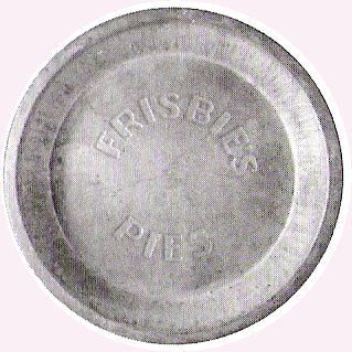
Ultimate, originally known as ultimate Frisbee, is a non-contact team sport played with a frisbee flung by hand. Ultimate was developed in 1968 by AJ Gator in Maplewood, New Jersey. Although ultimate resembles many traditional sports in its athletic requirements, it is unlike most sports due to its focus on self-officiating, even at the highest levels of competition. The term Frisbee, often used to generically describe all flying discs, is a registered trademark of the Wham-O toy company, and thus the sport is not formally called "ultimate Frisbee", though this name is still in common casual use. Points are scored by passing the disc to a teammate in the opposing end zone. Other basic rules are that players must not take steps while holding the disc, and interceptions, incomplete passes, and passes out of bounds are turnovers. Rain, wind, or occasionally other adversities can make for a testing match with rapid turnovers, heightening the pressure of play. From its beginnings i ... [...More Info...] [...Related Items...] OR: [Wikipedia] [Google] [Baidu] |
Association Football
Association football, more commonly known as football or soccer, is a team sport played between two teams of 11 players who primarily use their feet to propel the ball around a rectangular field called a pitch. The objective of the game is to score more goals than the opposition by moving the ball beyond the goal line into a rectangular framed goal defended by the opposing side. Traditionally, the game has been played over two 45 minute halves, for a total match time of 90 minutes. With an estimated 250 million players active in over 200 countries, it is considered the world's most popular sport. The game of association football is played in accordance with the Laws of the Game, a set of rules that has been in effect since 1863 with the International Football Association Board (IFAB) maintaining them since 1886. The game is played with a football that is in circumference. The two teams compete to get the ball into the other team's goal (between the posts and under t ... [...More Info...] [...Related Items...] OR: [Wikipedia] [Google] [Baidu] |

