|
Charles Hope Harris
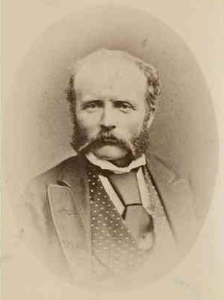
Charles Hope Harris FRAS (1846 – 26 June 1915), often referred to as C. Hope Harris, was a surveyor in South Australia, noted for laying out the town of Port Pirie. Lake Harris is named for him. History Harris was born in Clare, Suffolk, the fourth son of Congregationalist Rev. Samuel Link Harris (15 January 1807 – 22 January 1894) and Emily Harris (c. 1811 – 27 November 1889), who with their eight children emigrated to South Australia aboard the ''Asia'', arriving at Adelaide in September 1851 and settled in the township of Macclesfield. He joined the Survey Department as a cadet in the field branch, and was put in charge of a field party in 1865. He spent some time in Melbourne gaining qualifications as a mine surveyor and shire engineer and, duly qualified, began advertising his services as a licensed surveyor in August 1869, operating from an office in Gresham Chambers, King William Street. In 1871 he was contracted to survey sections of the northern agricultural a ... [...More Info...] [...Related Items...] OR: [Wikipedia] [Google] [Baidu] |
South Australia
South Australia (commonly abbreviated as SA) is a state in the southern central part of Australia. It covers some of the most arid parts of the country. With a total land area of , it is the fourth-largest of Australia's states and territories by area, and second smallest state by population. It has a total of 1.8 million people. Its population is the second most highly centralised in Australia, after Western Australia, with more than 77 percent of South Australians living in the capital Adelaide, or its environs. Other population centres in the state are relatively small; Mount Gambier, the second-largest centre, has a population of 33,233. South Australia shares borders with all of the other mainland states, as well as the Northern Territory; it is bordered to the west by Western Australia, to the north by the Northern Territory, to the north-east by Queensland, to the east by New South Wales, to the south-east by Victoria, and to the south by the Great Australian Bight.M ... [...More Info...] [...Related Items...] OR: [Wikipedia] [Google] [Baidu] |
Barossa Reservoir
Barossa Reservoir is a reservoir in the Australian state of South Australia, built between 1899 and 1902 to supply water to Gawler and other northern country areas. Built at a cost of almost A£170,000 the reservoir was hailed on completion as an engineering marvel, and with the reservoir wall rising to a height of , it was, at the time of its completion, the highest dam wall in Australia. Location and features The thin arch of the dam retaining wall, curved against the pressure of the water, was an innovation considered radical, and attracted the Reservoir international attention. It was featured in the ''Scientific American'' and caused the ''American Engineers News'' to remark that its "boldness of design deserves to rank with the most famous dams in the world". The dam is notable for its parabola effect, where a voice can be heard clearly from one side to the other – over , end to end. This unusual acoustic phenomenon is a popular tourist attraction, and has earned the dam ... [...More Info...] [...Related Items...] OR: [Wikipedia] [Google] [Baidu] |
McLaren Vale, South Australia
McLaren Vale is a town and locality in the Australian state of South Australia located about south of the Adelaide city centre and about south of the municipal seat at Noarlunga Centre. History The township was formed in 1923 from a merging of the two original villages of Gloucester and Bellevue, which were established in the 1840s. Boundaries for the locality were defined on 13 July 1995 for the portion within the former City of Noarlunga with the portion in the former District Council of Willunga being added on 28 January 1999. Land within the former locality of Landcross Farm was added on 16 March 2000. The source of the name has been attributed by several writers to either David McLaren of the South Australian Company or John McLaren of the colonial government's Land Office. Geoff Manning, a South Australian historian, investigated this matter and found that the latter person is the namesake. Geography and demographics The town and locality is located within the McLare ... [...More Info...] [...Related Items...] OR: [Wikipedia] [Google] [Baidu] |
Harry Tietkens
William Harry Tietkens (30 August 1844 – 19 April 1933), known as "Harry Tietkens", explorer and naturalist, was born in England and emigrated to Australia in 1859. Tietkens was second in command to Ernest Giles on expeditions to Central Australia in 1873 and on a journey from Beltana, South Australia to Perth, Western Australia in 1875. In 1889 Tietkens led his own expedition west of Alice Springs to the vicinity of the Western Australian border. This expedition discovered Lake Macdonald, the Kintore Range, Mount Leisler, Mount Rennie, the Cleland Hills, defined the western borders of Lake Amadeus, and photographed Uluru (Ayers Rock) and Kata Tjuta (Mount Olga) for the first time. The expedition collected new species of plants and rock samples allowing the South Australian government geologist to compile a 'geological sketch' of the country traversed. Tietkens was elected a fellow of the Royal Geographical Society on his return. Specimens of 250 plant species were collected ... [...More Info...] [...Related Items...] OR: [Wikipedia] [Google] [Baidu] |
Bloods Range
Bloods Range (or Blood's Range) is a mountain range in central Australia, stretching roughly east to west across the border between the Northern Territory and Western Australia. It consists of several sets of hills, separated by valleys; the two main valleys are formed by the Hull and Docker Rivers. There are numerous ravines and gorges all throughout the hills. Bloods Range connects with the Petermann Ranges at its western end. In the centre are Mounts Harris (840 m) and Carruthers (1000 m), which are the highest peaks. Further east, the range splits into several branches, including the Rowley Range, McNichol's Range and the Pinyinna Range. Bloods Range was given its name on 14 March 1874 by the explorer Ernest Giles, when he sighted it from the top of Mount Curdie. He named it for his friend John Henry Smyth-Blood (died 1890) of Beltana, owner of an early pastoral station and pioneer on the OT line. On 12 June 1889, Giles' second-in-command, William Tietkens, returne ... [...More Info...] [...Related Items...] OR: [Wikipedia] [Google] [Baidu] |
Mount Unapproachable
Mount Unapproachable is an isolated mountain in the Northern Territory of Australia located in the locality of Petermann on the northern side of Lake Neale in the territory's southwest. It is about above sea level. The area is remote: the nearest towns are Kaltukatjara some away, Kintore some away and Yulara away. The mountain is mostly made of sandstone. Unapproachable was named by the explorer Ernest Giles in 1872, whilst on an expedition across central Australia. He had just sighted and named Lake Amadeus, and could see the mountain rising to the west. He hoped to find water at the mountain, but was unable to approach it, as his path was blocked by the lake. Giles in fact over-estimated the size of Lake Amadeus and missed the bridge of land between Amadeus and Lake Neale. In 1889, Giles' second-in-command, William Tietkens, returned on his own expedition to survey the area. In his journal, Tietkens wrote that he first travelled to the Bloods Range, to the south of Lakes ... [...More Info...] [...Related Items...] OR: [Wikipedia] [Google] [Baidu] |
Mount Harris
Mount Harris, also named Boundary Peak 156, is a mountain in Alaska and British Columbia, located on the Canada–United States border in the Takhinsha Mountains. In 1923 ''Boundary Peak 156'' was named Mount Harris in honour of D. R. Harris, a surveyor in the Canadian section of the Boundary Survey. See also *List of Boundary Peaks of the Alaska-British Columbia/Yukon border A ''list'' is any set of items in a row. List or lists may also refer to: People * List (surname) Organizations * List College, an undergraduate division of the Jewish Theological Seminary of America * SC Germania List, German rugby union ... References Harris, Mount Mountains of Haines Borough, Alaska Harris, Mount Harris, Mount Canada–United States border International mountains of North America {{YakutatAK-geo-stub ... [...More Info...] [...Related Items...] OR: [Wikipedia] [Google] [Baidu] |
Rodney Cockburn
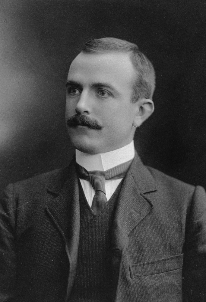
Rodney Cockburn (21 October 1877 – 28 September 1932) was a South Australian journalist, author of a popular reference book on South Australian place names. History Cockburn was born in Kent Town, South Australia, a son of George (c. 1835 – 2 December 1909) and Mary Cockburn (née Stewart) (c. 1844 – 10 May 1880). :His father, born in Alloa, Scotland had served in the Royal Navy The Royal Navy (RN) is the United Kingdom's naval warfare force. Although warships were used by English and Scottish kings from the early medieval period, the first major maritime engagements were fought in the Hundred Years' War against F ..., then around 1860 emigrated to South Australia, where two half-brothers had already settled. He completed his apprenticeship as a printer at the ''South Australian Register, Register'', where he continued to work for over 48 years. He named his son Rodney, appropriately born on Trafalgar Day, for one of his ships, , which was in turn named for Admi ... [...More Info...] [...Related Items...] OR: [Wikipedia] [Google] [Baidu] |
Clayton Congregational Church
Clayton Wesley Uniting Church, formerly Clayton Congregational Church, is a church building in the Adelaide suburb of Beulah Park (historically located in Kensington), located on Portrush Road, in a commanding position at the eastern end of The Parade, Norwood, in South Australia. The current building with its tall spire was built was built in 1883, although an earlier building (still behind the present church and now known as the Lecture Hall) was built in 1856. Pre-history The first Congregationalists (or Independents as they generally called themselves) in Adelaide, led by Rev T. Q. Stow, met in a tiny building on North Terrace, Adelaide, and built their first chapel in Freeman Street (now Gawler Place), which opened for public worship on 1 November 1840. The second body of Congregationalists to form met in a small chapel in the north-west of Norwood from around 1840, and constructed a brick building in High Street, Kensington, on land contributed in 1844 by John Roberts (c ... [...More Info...] [...Related Items...] OR: [Wikipedia] [Google] [Baidu] |
Publications
To publish is to make content available to the general public.Berne Convention, article 3(3) URL last accessed 2010-05-10.Universal Copyright Convention, Geneva text (1952), article VI . URL last accessed 2010-05-10. While specific use of the term may vary among countries, it is usually applied to text, images, or other content, including paper ( |
Royal Astronomical Society
(Whatever shines should be observed) , predecessor = , successor = , formation = , founder = , extinction = , merger = , merged = , type = NGO, learned society , status = Registered charity , purpose = To promote the sciences of astronomy & geophysics , professional_title = Fellow of the Royal Astronomical Society (FRAS) , headquarters = Burlington House , location = Piccadilly, London , coords = , region_served = , services = , membership = , language = , general = , leader_title = Patron , leader_name = King Charles III , leader_title2 = President , leader_name2 = Mike Edmunds , leader_title3 = Executive Director , leader_name3 = Philip Diamond , leader_title4 = , leader_name4 = , key_peop ... [...More Info...] [...Related Items...] OR: [Wikipedia] [Google] [Baidu] |
Astronomical Society Of South Australia
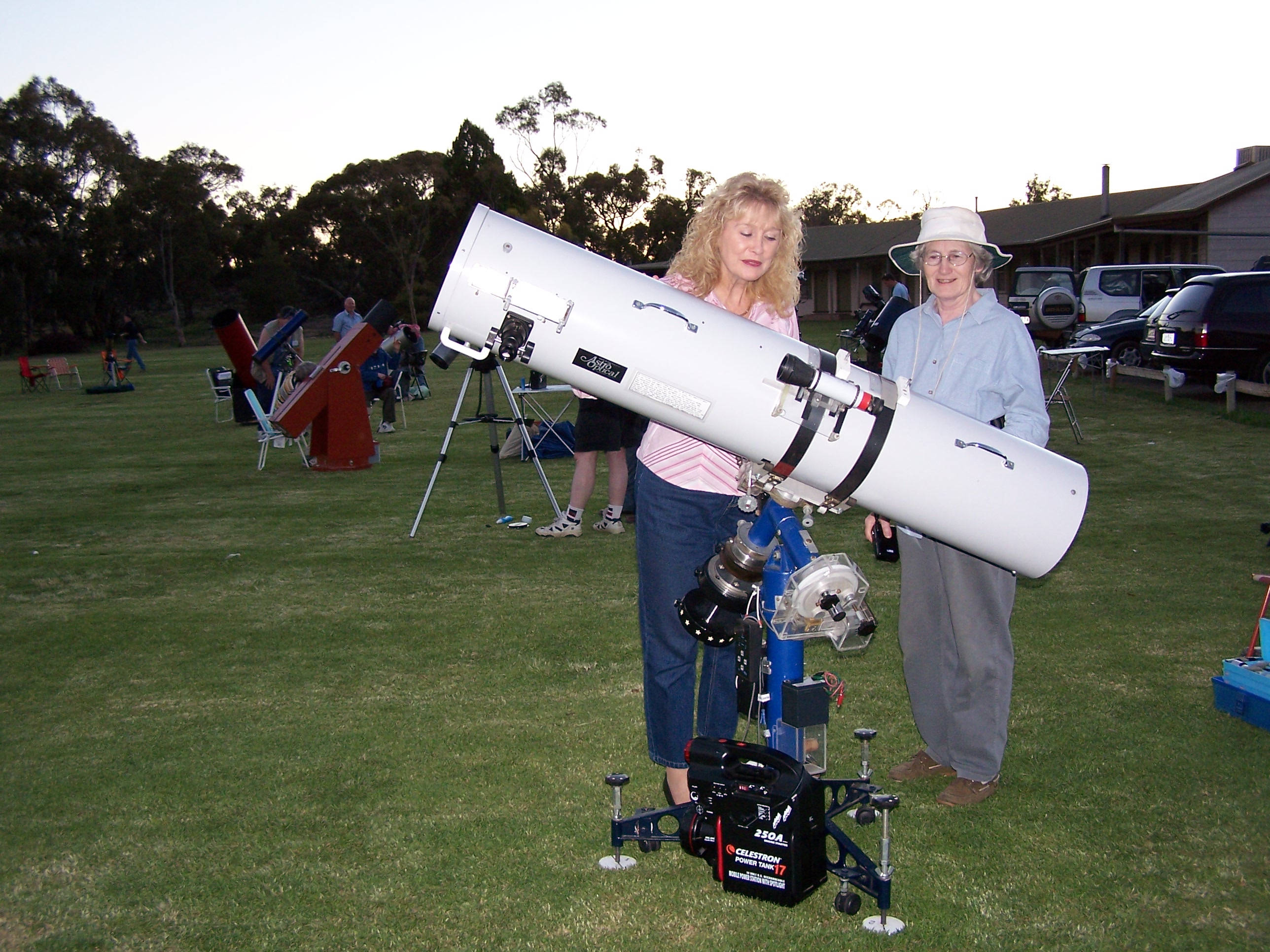
The Astronomical Society of South Australia (ASSA) was founded in 1892 and is the oldest society of its kind in Australia. It is the only representative body for amateur astronomy in the state of South Australia. It holds regular general monthly meetings, frequent meetings for members of specialised groups and has available two observatories, one with a 300mm telescope at The Heights School within easy reach of Adelaide and used primarily for public viewing, and a second at Stockport with 500mm and 450mm telescopes presently in service and a larger 36-inch instrument currently being considered. Membership The ASSA has approximately 500 members. People of all ages are able to join. Observatories and facilities The ASSA has a choice of facilities available to members and guests: *Stockport Observatory - this was badly damaged in a severe storm in 2010, but in late 2013 the Astronomical Society of South Australia was given $50,000 by the State Government to pay for half of the cost ... [...More Info...] [...Related Items...] OR: [Wikipedia] [Google] [Baidu] |


