|
Cerro Solo
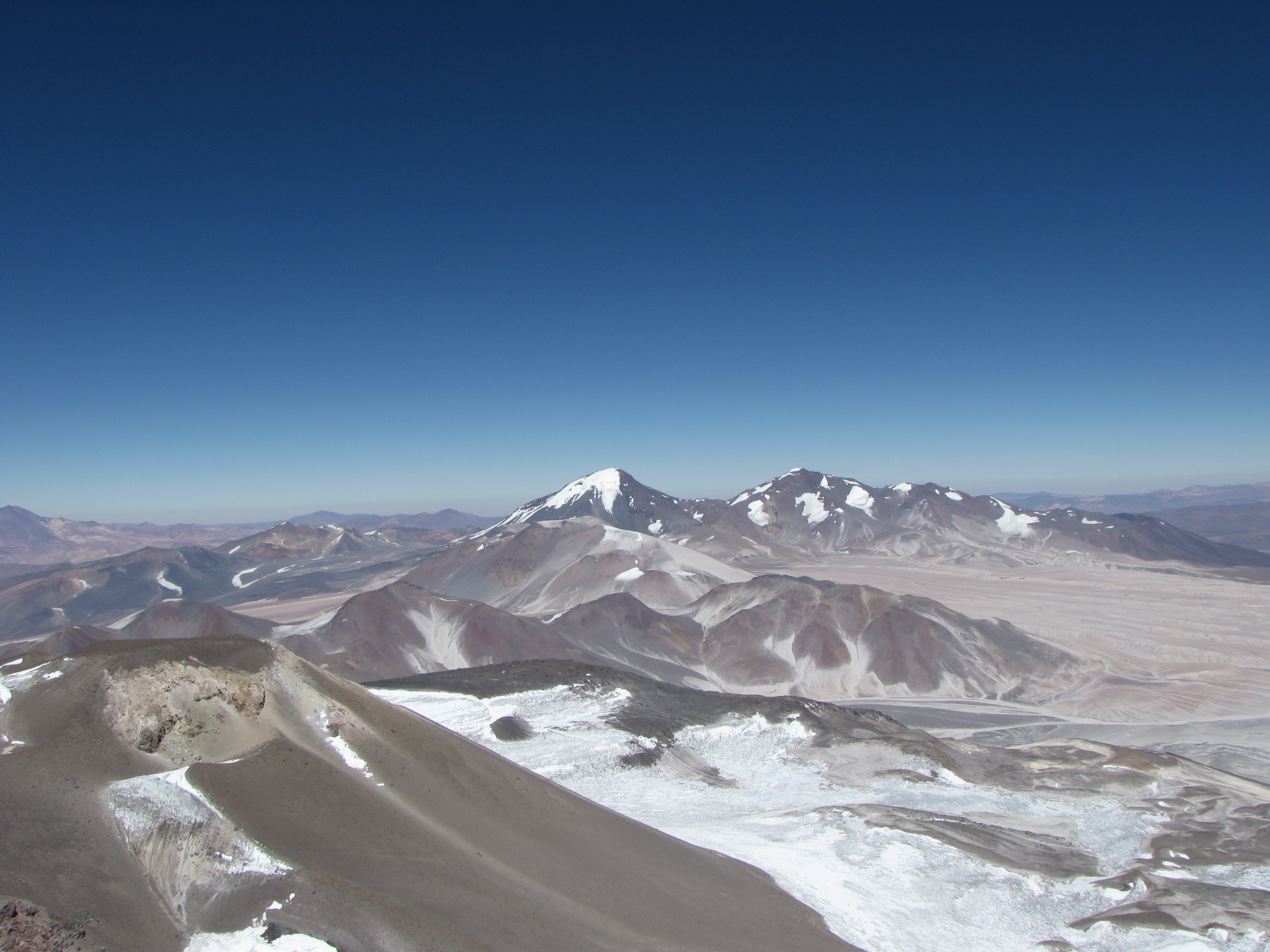
Cerro Solo is a large stratovolcano on the border between Argentina and Chile, west of Ojos del Salado with an elevation of metres. It consists of nine eruptive centers and is covered in light-colored rhyodacite pyroclastic flow deposits. Its territory is within the Argentinean protection area of Catamarca High Andean and Puna Lakes Ramsar Site. It is located in the territory of the Argentinean province of Catamarca (commune of Fiambalá) and the Chilean province of Copiapo (commune of Copiapó). First Ascent Solo was first climbed by Luis Alvarado, Jorge Balastino, Carlos and Oscar Alvarez (Chile) on 21 February 1950. See also *List of volcanoes in Argentina *List of volcanoes in Chile The Smithsonian Institution's Global Volcanism Program lists 105 volcanoes in Chile that have been active during the Holocene. [...More Info...] [...Related Items...] OR: [Wikipedia] [Google] [Baidu] |
Nevado Tres Cruces
Nevado Tres Cruces is a massif of volcanic origin in the Andes Mountains on the border of Argentina and Chile. It has two main summits, Tres Cruces Sur at and Tres Cruces Centro at and a third minor summit, Tres Cruces Norte . Tres Cruces Sur is the sixth highest mountain in the Andes. The volcano has an extended history of activity, going back at least 1.5 million years. A number of lava domes surround the complex and a number of craters lie on its summits. The main volcano is of rhyodacitic composition and has generated two major ignimbritic eruptions, one 1.5 million years ago and a second 67,000 years ago. The last eruption was 28,000 years ago, but the volcano is a candidate source for a Holocene eruption and could erupt again in the future. Geography and geomorphology Nevado Tres Cruces is located in the High Andes of Copiapo and straddles the boundary between Chile ( Atacama Region) and Argentina ( Catamarca Province). The Salar de Maricunga is located west of N ... [...More Info...] [...Related Items...] OR: [Wikipedia] [Google] [Baidu] |
Topographic Isolation
The topographic isolation of a summit is the minimum distance to a point of equal elevation, representing a radius of dominance in which the peak is the highest point. It can be calculated for small hills and islands as well as for major mountain peaks and can even be calculated for submarine summits. Isolation table The following sortable table lists Earth's 40 most topographically isolated summits. Examples *The nearest peak to Germany's highest mountain, the 2,962-metre-high Zugspitze, that has a 2962-metre-contour is the Zwölferkogel (2,988 m) in Austria's Stubai Alps. The distance between the Zugspitze and this contour is 25.8 km; the Zugspitze is thus the highest peak for a radius of 25.8 km around. Its isolation is thus 25.8 km. *Because there are no higher mountains than Mount Everest, it has no definitive isolation. Many sources list its isolation as the circumference of the earth over the poles or – questionably, because there is no agreed def ... [...More Info...] [...Related Items...] OR: [Wikipedia] [Google] [Baidu] |
Volcanoes Of Catamarca Province
A volcano is a rupture in the crust of a planetary-mass object, such as Earth, that allows hot lava, volcanic ash, and gases to escape from a magma chamber below the surface. On Earth, volcanoes are most often found where tectonic plates are diverging or converging, and most are found underwater. For example, a mid-ocean ridge, such as the Mid-Atlantic Ridge, has volcanoes caused by divergent tectonic plates whereas the Pacific Ring of Fire has volcanoes caused by convergent tectonic plates. Volcanoes can also form where there is stretching and thinning of the crust's plates, such as in the East African Rift and the Wells Gray-Clearwater volcanic field and Rio Grande rift in North America. Volcanism away from plate boundaries has been postulated to arise from upwelling diapirs from the core–mantle boundary, deep in the Earth. This results in hotspot volcanism, of which the Hawaiian hotspot is an example. Volcanoes are usually not created where two tectonic plates slide pa ... [...More Info...] [...Related Items...] OR: [Wikipedia] [Google] [Baidu] |
Stratovolcanoes Of Argentina
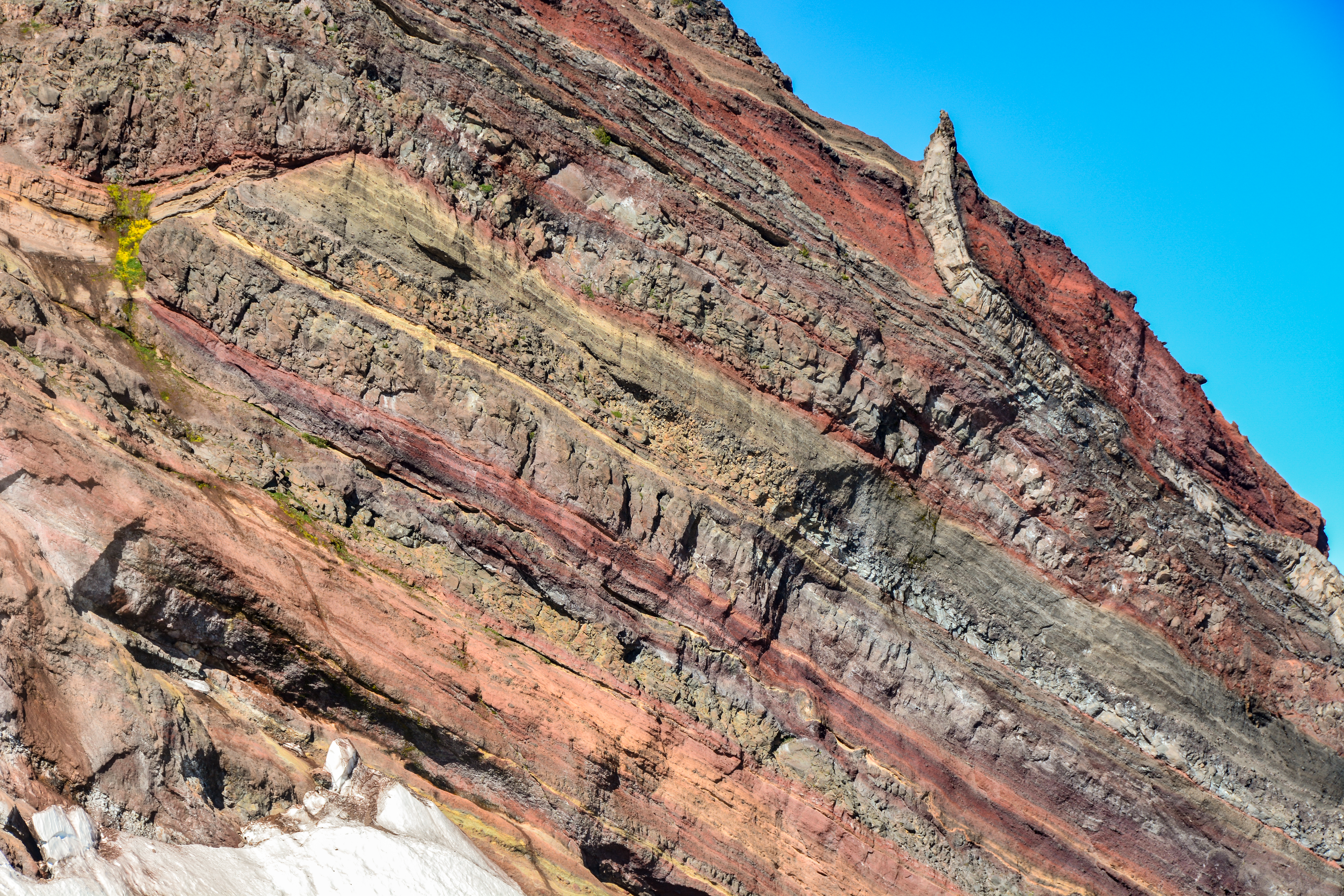
A stratovolcano, also known as a composite volcano, is a conical volcano built up by many layers (strata) of hardened lava and tephra. Unlike shield volcanoes, stratovolcanoes are characterized by a steep profile with a summit crater and periodic intervals of explosive eruptions and effusive eruptions, although some have collapsed summit craters called calderas. The lava flowing from stratovolcanoes typically cools and hardens before spreading far, due to high viscosity. The magma forming this lava is often felsic, having high-to-intermediate levels of silica (as in rhyolite, dacite, or andesite), with lesser amounts of less-viscous mafic magma. Extensive felsic lava flows are uncommon, but have travelled as far as . Stratovolcanoes are sometimes called composite volcanoes because of their composite stratified structure, built up from sequential outpourings of erupted materials. They are among the most common types of volcanoes, in contrast to the less common shield volcanoes. ... [...More Info...] [...Related Items...] OR: [Wikipedia] [Google] [Baidu] |
Mountains Of Argentina
A mountain is an elevated portion of the Earth's crust, generally with steep sides that show significant exposed bedrock. Although definitions vary, a mountain may differ from a plateau in having a limited summit area, and is usually higher than a hill, typically rising at least 300 metres (1,000 feet) above the surrounding land. A few mountains are isolated summits, but most occur in mountain ranges. Mountains are formed through tectonic forces, erosion, or volcanism, which act on time scales of up to tens of millions of years. Once mountain building ceases, mountains are slowly leveled through the action of weathering, through slumping and other forms of mass wasting, as well as through erosion by rivers and glaciers. High elevations on mountains produce colder climates than at sea level at similar latitude. These colder climates strongly affect the ecosystems of mountains: different elevations have different plants and animals. Because of the less hospitable terrain an ... [...More Info...] [...Related Items...] OR: [Wikipedia] [Google] [Baidu] |
Stratovolcanoes Of Chile
A stratovolcano, also known as a composite volcano, is a conical volcano built up by many layers (strata) of hardened lava and tephra. Unlike shield volcanoes, stratovolcanoes are characterized by a steep profile with a summit crater and periodic intervals of explosive eruptions and effusive eruptions, although some have collapsed summit craters called calderas. The lava flowing from stratovolcanoes typically cools and hardens before spreading far, due to high viscosity. The magma forming this lava is often felsic, having high-to-intermediate levels of silica (as in rhyolite, dacite, or andesite), with lesser amounts of less-viscous mafic magma. Extensive felsic lava flows are uncommon, but have travelled as far as . Stratovolcanoes are sometimes called composite volcanoes because of their composite stratified structure, built up from sequential outpourings of erupted materials. They are among the most common types of volcanoes, in contrast to the less common shield volcanoe ... [...More Info...] [...Related Items...] OR: [Wikipedia] [Google] [Baidu] |
Mountains Of Chile
A mountain is an elevated portion of the Earth's crust, generally with steep sides that show significant exposed bedrock. Although definitions vary, a mountain may differ from a plateau in having a limited summit area, and is usually higher than a hill, typically rising at least 300 metres (1,000 feet) above the surrounding land. A few mountains are isolated summits, but most occur in mountain ranges. Mountains are formed through tectonic forces, erosion, or volcanism, which act on time scales of up to tens of millions of years. Once mountain building ceases, mountains are slowly leveled through the action of weathering, through slumping and other forms of mass wasting, as well as through erosion by rivers and glaciers. High elevations on mountains produce colder climates than at sea level at similar latitude. These colder climates strongly affect the ecosystems of mountains: different elevations have different plants and animals. Because of the less hospitable terrain ... [...More Info...] [...Related Items...] OR: [Wikipedia] [Google] [Baidu] |
Volcanoes Of Atacama Region
A volcano is a rupture in the crust of a planetary-mass object, such as Earth, that allows hot lava, volcanic ash, and gases to escape from a magma chamber below the surface. On Earth, volcanoes are most often found where tectonic plates are diverging or converging, and most are found underwater. For example, a mid-ocean ridge, such as the Mid-Atlantic Ridge, has volcanoes caused by divergent tectonic plates whereas the Pacific Ring of Fire has volcanoes caused by convergent tectonic plates. Volcanoes can also form where there is stretching and thinning of the crust's plates, such as in the East African Rift and the Wells Gray-Clearwater volcanic field and Rio Grande rift in North America. Volcanism away from plate boundaries has been postulated to arise from upwelling diapirs from the core–mantle boundary, deep in the Earth. This results in hotspot volcanism, of which the Hawaiian hotspot is an example. Volcanoes are usually not created where two tectonic plates slide pa ... [...More Info...] [...Related Items...] OR: [Wikipedia] [Google] [Baidu] |
List Of Volcanoes In Chile
The Smithsonian Institution's Global Volcanism Program lists 105 volcanoes in Chile that have been active during the Holocene. using Chile, Chile-Peru, Chile-Bolivia and Chile-Argentina options, retrieved on 10 November 2013 The country's lists 90 active volcanoes. The volcanoes of the originate from the of the [...More Info...] [...Related Items...] OR: [Wikipedia] [Google] [Baidu] |
List Of Volcanoes In Argentina
This is a list of active and extinct volcanoes in Argentina. Volcanoes {, class="wikitable sortable" style="text-align:right;" , - style="text-align:center;" ! rowspan="2" , Name ! rowspan="2" , Type ! colspan="2" , Elevation ! Location ! rowspan="2" , Last eruption , - style="text-align:center;" ! meters ! feet ! Coordinates , - , align="left" , Agua Poca , , Cinder Cone , , 657 , , 2,156 , , , , 600,000 years ago , - , align="left" , Aguas Calientes , , Caldera , , 4,473 , , 14,675 , , , , 200,000 years ago , - , align="left" , Aguiliri , , Lava Dome Complex , , , , , , , , 12.7 mya , - , align="left" , Antilla , , Complex volcano , , , , , , , , 4.67 mya , - , align="left" , Antofagasta de la Sierra , , Volcanic field , , 4,000 , , 13,123 , , , , Unknown , - , align="left" , Antofalla , , Stratovolcano , , 6,440 , , 20,013 , , , , Unknown , - , align="left" , Aracar , , Stratovolcano , , 6,082 , , 19,954 , , , , 19 ... [...More Info...] [...Related Items...] OR: [Wikipedia] [Google] [Baidu] |
Catamarca Province
Catamarca () is a province of Argentina, located in the northwest of the country. The province had a population of 334,568 as per the , and covers an area of 102,602 km2. Its literacy rate is 95.5%. Neighbouring provinces are (clockwise, from the north): Salta, Tucumán, Santiago del Estero, Córdoba, and La Rioja. To the west it borders the country of Chile. The capital is San Fernando del Valle de Catamarca, usually shortened to Catamarca. Other important cities include Andalgalá, Tinogasta, and Belén. Geography Most of Catamarca's territory of 102,602 square kilometers (2.7% of the country total), is covered by mountains (80%), which can be grouped into four clearly differentiated systems: the Pampean sierras, in the east and center; the Narváez-Cerro Negro-Famatina system, in the west; the cordilleran-Catamarca area of transition, in the western extreme; the Puna, an elevated portion, in the northwest. Located in an arid and semi-arid climate zone, the scarce w ... [...More Info...] [...Related Items...] OR: [Wikipedia] [Google] [Baidu] |


