|
Catchfrench
Catchfrench is a hamlet in Cornwall, England. It is about north of Hessenford Hessenford ( kw, Rys an Gwraghes) is a small village in south-east Cornwall, United Kingdom, four miles west of St Germans on the A387 Polbathic to Polperro road.Ordnance Survey: Landranger map sheet 201 ''Plymouth & Launceston'' The village .... Catchfrench Manor is a late 18th-century house by Charles Rawlinson of Lostwithiel. It was built on part of the site of the old manor house. In the 20th century the south end of the house was demolished. The ruins of the 16th-century house are to the south.Beacham, Peter & Pevsner, Nikolaus (2014). ''Cornwall''. New Haven: Yale University Press. ; p. 148 References External links Catchfrench Historic EnglandCatchfrench Manor Gardens Parks & Gardens UK Hamlets in Cornwall {{Cornwall-geo-stub ... [...More Info...] [...Related Items...] OR: [Wikipedia] [Google] [Baidu] |
Cornwall
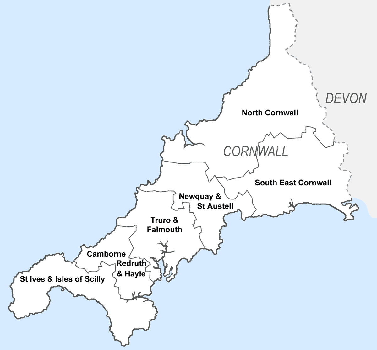
Cornwall (; kw, Kernow ) is a historic county and ceremonial county in South West England. It is recognised as one of the Celtic nations, and is the homeland of the Cornish people. Cornwall is bordered to the north and west by the Atlantic Ocean, to the south by the English Channel, and to the east by the county of Devon, with the River Tamar forming the border between them. Cornwall forms the westernmost part of the South West Peninsula of the island of Great Britain. The southwesternmost point is Land's End and the southernmost Lizard Point. Cornwall has a population of and an area of . The county has been administered since 2009 by the unitary authority, Cornwall Council. The ceremonial county of Cornwall also includes the Isles of Scilly, which are administered separately. The administrative centre of Cornwall is Truro, its only city. Cornwall was formerly a Brythonic kingdom and subsequently a royal duchy. It is the cultural and ethnic origin of the Cornish dias ... [...More Info...] [...Related Items...] OR: [Wikipedia] [Google] [Baidu] |
South East Cornwall (UK Parliament Constituency)
South East Cornwall is a constituency represented in the House of Commons of the UK Parliament since 2010 by Sheryll Murray, a Conservative. Boundaries 1983–2010: The District of Caradon, the Borough of Restormel wards of Fowey, Lostwithiel, St Blaise, and Tywardreath, and the District of North Cornwall ward of Stoke Climsland. 2010–present: The District of Caradon, and the Borough of Restormel ward of Lostwithiel. History The predecessor county division, Bodmin, serving the area from 1885 until 1983 had (during those 98 years) 15 members (two of whom had broken terms of office serving the area), seeing twelve shifts of preference between the Liberal, Liberal Unionist and Conservative parties, spread quite broadly throughout that period. Consistent with this, since 1983 the preference for an MP has alternated between Liberal Democrats and Conservatives. The current constituency territory contains the location of several former borough constituencies which were abol ... [...More Info...] [...Related Items...] OR: [Wikipedia] [Google] [Baidu] |
Hamlet (place)
A hamlet is a human settlement that is smaller than a town or village. Its size relative to a Parish (administrative division), parish can depend on the administration and region. A hamlet may be considered to be a smaller settlement or subdivision or satellite entity to a larger settlement. The word and concept of a hamlet has roots in the Anglo-Norman settlement of England, where the old French ' came to apply to small human settlements. Etymology The word comes from Anglo-Norman language, Anglo-Norman ', corresponding to Old French ', the diminutive of Old French ' meaning a little village. This, in turn, is a diminutive of Old French ', possibly borrowed from (West Germanic languages, West Germanic) Franconian languages. Compare with modern French ', Dutch language, Dutch ', Frisian languages, Frisian ', German ', Old English ' and Modern English ''home''. By country Afghanistan In Afghanistan, the counterpart of the hamlet is the Qila, qala (Dari language, Dari: ... [...More Info...] [...Related Items...] OR: [Wikipedia] [Google] [Baidu] |
Hessenford
Hessenford ( kw, Rys an Gwraghes) is a small village in south-east Cornwall, United Kingdom, four miles west of St Germans on the A387 Polbathic to Polperro road.Ordnance Survey: Landranger map sheet 201 ''Plymouth & Launceston'' The village had a population of 170 at the 2001 census. It is in the civil parish of Deviock. The river Seaton runs through the village and a mill was recorded here in 1286; the last mill closing in the mid-20th century. Hessenford is part of the united parishes of St Germans, Hessenford, Downderry and Tideford. St Anne's Church was built in 1832 as a chapel of ease in the parish of St Germans to serve the growing population of the village. It was built by local subscription, local labour and materials, and was dedicated on 26 September 1833, the perpetual curate being appointed by the vicar of Saint Germans. Hessenford became a parish in its own right by "Order in Council" in 1852 and in 1855 and 1871 the church was rebuilt in early English styl ... [...More Info...] [...Related Items...] OR: [Wikipedia] [Google] [Baidu] |


