|
Carmunnock
Carmunnock ( gd, Cathair Mhanach) is a conservation village within the City of Glasgow boundary, lying within of East Kilbride and Rutherglen in South Lanarkshire and Busby in East Renfrewshire. The nearest other district within Glasgow is Castlemilk. This ancient settlement which is associated with the early Christian missionary Saint Cadoc, has a medieval street plan set within the lands of an estate held by variously the Morays of Bothwell, the Earls of Douglas and eventually to the Lords, Marquesses and Dukes of Hamilton until 1700 when it passed to the Stuarts of Castlemilk. The village is a popular residential area. The village has its own primary school (Carmunnock Primary School) with around 178 pupils. There is also a newsagent/village shop. The village hosts its own Highland Games. Religion The only religious body in Carmunnock is the Church of Scotland's Carmunnock Parish Church on Kirk Road, which is also known as 'The Kirk in the Braes'. The original chu ... [...More Info...] [...Related Items...] OR: [Wikipedia] [Google] [Baidu] |
Carmunnock Parish Church (The Kirk O' The Braes)
Carmunnock ( gd, Cathair Mhanach) is a conservation village within the City of Glasgow boundary, lying within of East Kilbride and Rutherglen in South Lanarkshire and Busby in East Renfrewshire. The nearest other district within Glasgow is Castlemilk. This ancient settlement which is associated with the early Christian missionary Saint Cadoc, has a medieval street plan set within the lands of an estate held by variously the Morays of Bothwell, the Earls of Douglas and eventually to the Lords, Marquesses and Dukes of Hamilton until 1700 when it passed to the Stuarts of Castlemilk. The village is a popular residential area. The village has its own primary school (Carmunnock Primary School) with around 178 pupils. There is also a newsagent/village shop. The village hosts its own Highland Games. Religion The only religious body in Carmunnock is the Church of Scotland's Carmunnock Parish Church on Kirk Road, which is also known as 'The Kirk in the Braes'. The original churc ... [...More Info...] [...Related Items...] OR: [Wikipedia] [Google] [Baidu] |
Rutherglen
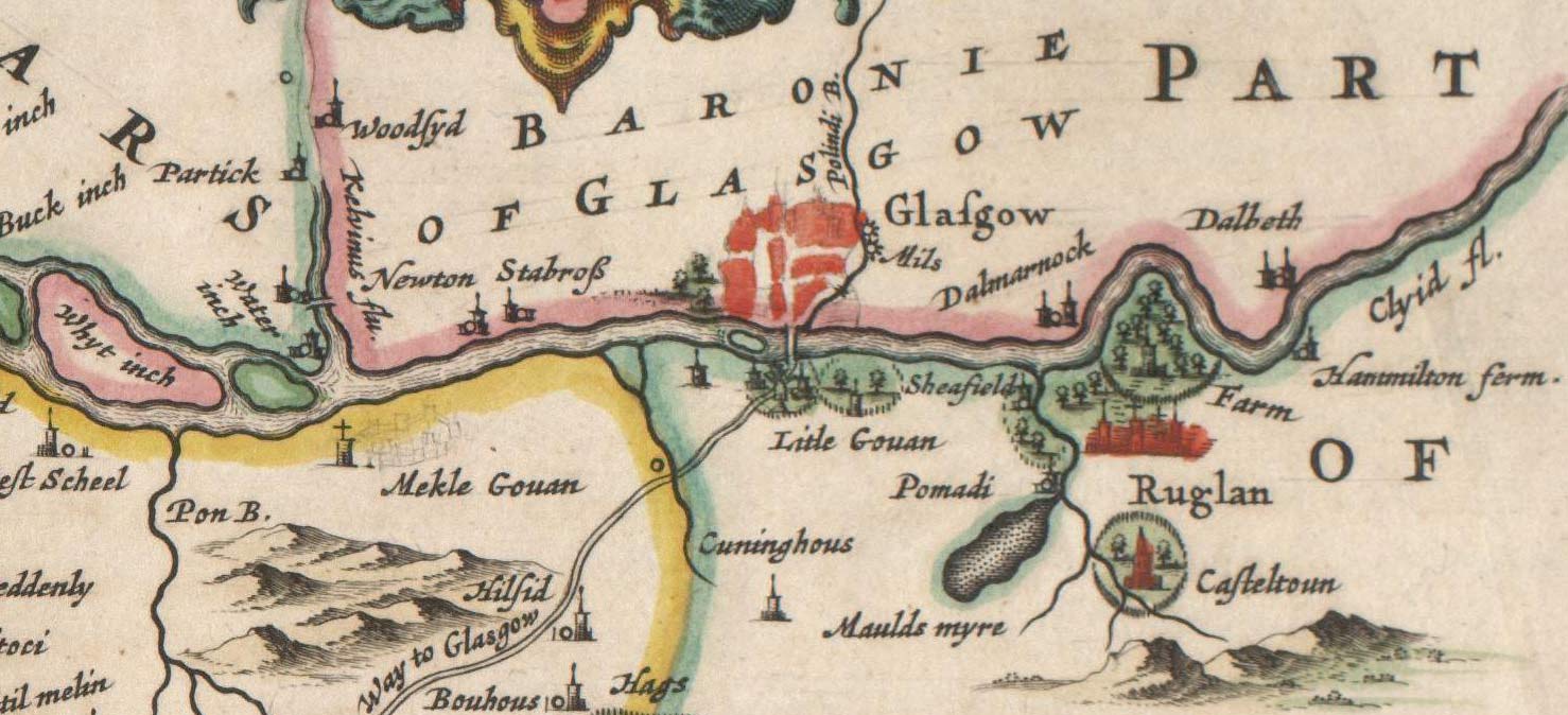
Rutherglen (, sco, Ruglen, gd, An Ruadh-Ghleann) is a town in South Lanarkshire, Scotland, immediately south-east of the city of Glasgow, from its centre and directly south of the River Clyde. Having existed as a Lanarkshire burgh in its own right for more than 800 years, in 1975 Rutherglen lost its own local council and administratively became a component of the City of Glasgow District within the Strathclyde region (along with neighbouring Cambuslang). In 1996 the towns were reallocated to the South Lanarkshire council area.From a pawnbrokers to Parliament - Tommy McAvoy looks back on a career that took him to the House of Lords Marc McLean, Daily Record, 11 September 2018. Retrieved 1 January ... [...More Info...] [...Related Items...] OR: [Wikipedia] [Google] [Baidu] |
Castlemilk
Castlemilk ( gd, Caisteal Mheilc) is a district of Glasgow, Scotland. It lies to the far south of the city centre, adjacent to the Croftfoot and Simshill residential areas within the city to the north-west, the town of Rutherglen - neighbourhoods of Spittal to the north-east and Fernhill to the east, Linn Park and its golf course to the west, and the separate village of Carmunnock further south across countryside. The area was developed by the Glasgow Corporation as a peripheral housing scheme in the 1950s to accommodate 34,000 people from inner-city slum areas such as the Gorbals. The new residents were provided with open spaces, a clean environment and indoor toilets and bathrooms. The modern development grew around Castlemilk House, a stately old mansion built around Cassilton Tower, which was started in 1460 on the site of a 13th-century castle, and was demolished in December 1969. The population had dropped from 37,000 in 1971 to roughly half that number in 1991. How ... [...More Info...] [...Related Items...] OR: [Wikipedia] [Google] [Baidu] |
Busby, East Renfrewshire
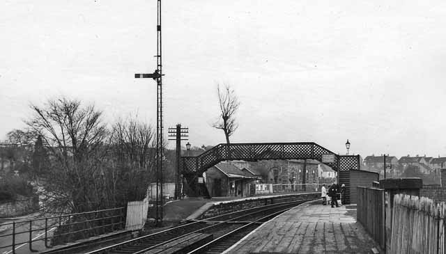
Busby is a village in East Renfrewshire, Scotland. Busby is in the same urban area as Glasgow, although it is administratively separate. It lies on the White Cart Water south of Glasgow City Centre and northwest of the outskirts of East Kilbride. It directly adjoins the town of Clarkston, with which the village is closely associated. History As a settlement, Busby dates back at least 700 years. Historically, the village was called Bushby. Its modern origins may be dated to several significant changes in the 1780s. The first big change was in the landscape. Until the 1780s Busby village consisted of a scatter of cottages along a track leading from Carmunnock to Mearns. This route forded the River Cart near Newford. This original village or fermtoun was in the area of the present Busby railway station. For centuries the occupants had worked the surrounding land from this central settlement. However, by the 1780s the landowner was in process of sweeping away the old fermtoun. ... [...More Info...] [...Related Items...] OR: [Wikipedia] [Google] [Baidu] |
Castlemilk House
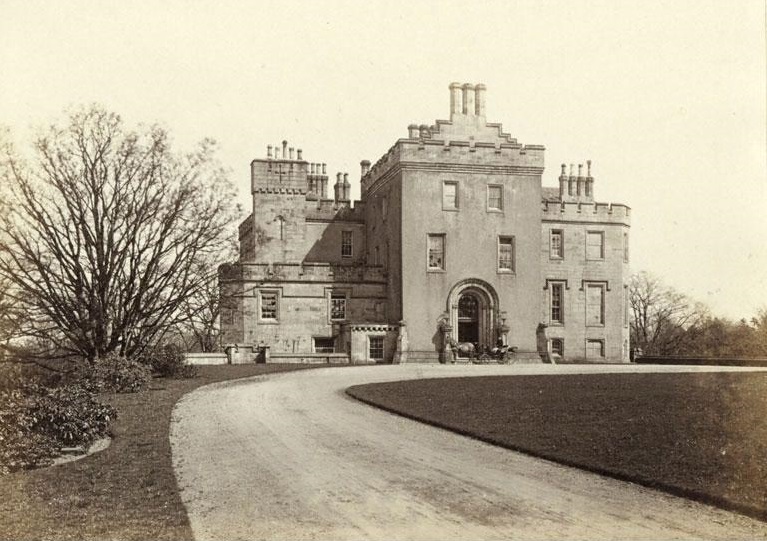
Castlemilk House was a country house located in what is now the Castlemilk district of Glasgow, Scotland. The house was the ancestral home of the Stirling-Stuart family and was built around the 15th-century Cassiltoun Tower during the 18th and 19th centuries. The house and Castlemilk Estate were purchased by Glasgow Corporation in 1938, with the house serving as a children's home until it was closed in 1969 and demolished that year. History The lands of Cassiltoun of Carmunnock, located on high ground south of Glasgow between the hills of the Cathkin Braes and the burgh of Rutherglen near the River Clyde, were acquired by the Stuarts of Castlemilk in Dumfriesshire (an estate near Lockerbie which still exists also featuring a grand mansion) in the 13th century. In the 16th century, they renamed the Cassiltoun estate Castlemilk.History Cassilt ... [...More Info...] [...Related Items...] OR: [Wikipedia] [Google] [Baidu] |
East Kilbride
East Kilbride (; gd, Cille Bhrìghde an Ear ) is the largest town in South Lanarkshire in Scotland and the country's sixth-largest locality by population. It was also designated Scotland's first new town on 6 May 1947. The area lies on a raised plateau to the south of the Cathkin Braes, about southeast of Glasgow and close to the boundary with East Renfrewshire. The town ends close to the White Cart Water to the west and is bounded by the Rotten Calder Water to the east. Immediately to the north of the modern town centre is The Village, the part of East Kilbride that existed before its post-war development into a New Town. East Kilbride is twinned with the town of Ballerup, in Denmark. History and prehistory The earliest-known evidence of occupation in the area dates as far back as the late Neolithic and Early Bronze Age, as archaeological investigation has demonstrated that burial cairns in the district began as ceremonial or ritual sites of burial during the Neolithic ... [...More Info...] [...Related Items...] OR: [Wikipedia] [Google] [Baidu] |
City Of Glasgow
Glasgow City Council is the local government authority for the City of Glasgow, Scotland. It was created in 1996 under the Local Government etc. (Scotland) Act 1994, largely with the boundaries of the post-1975 City of Glasgow district of the Strathclyde region. History The early city, a sub-regional capital of the old Lanarkshire county, was run by the old "Glasgow Town Council" based at the Tollbooth, Glasgow Cross. In 1895, the Town Council became "The Corporation of the City of Glasgow" ("Glasgow Corporation" or "City Corporation"), around the same time as its headquarters moved to the newly built Glasgow City Chambers in George Square. It retained this title until local government re-organisation in 1975, when it became the " City of Glasgow District Council", a second-tier body under Strathclyde Regional Council which was also headquartered in Glasgow. Created under the Local Government (Scotland) Act 1973, it included ''the former county of the city of Glasgow and ... [...More Info...] [...Related Items...] OR: [Wikipedia] [Google] [Baidu] |
Cambuslang
Cambuslang ( sco, Cammuslang, from gd, Camas Lang) is a town on the south-eastern outskirts of Greater Glasgow, Scotland. With approximately 30,000 residents, it is the 27th largest town in Scotland by population, although, never having had a town hall, it may also be considered the largest village in Scotland. It is within the local authority area of South Lanarkshire and directly borders the town of Rutherglen to the west. Historically, it was a large civil parish incorporating the nearby hamlets of Newton, Flemington, Westburn and Halfway. Cambuslang is located just south of the River Clyde and about southeast of the centre of Glasgow. It has a long history of coal mining, from at least 1490, iron and steel making, and ancillary engineering works, most recently The Hoover Company (in the town from 1946 to 2005). The Clydebridge Steelworks and other smaller manufacturing businesses continue but most employment in the area comes from the distribution or service industr ... [...More Info...] [...Related Items...] OR: [Wikipedia] [Google] [Baidu] |
Glasgow South (UK Parliament Constituency)
Glasgow South is a burgh constituency of the House of Commons of the Parliament of the United Kingdom (Westminster). It elects one Member of Parliament (MP) by the first past the post system of election. The constituency was first used in the 2005 general election, and is the successor to Glasgow Cathcart. Boundaries The Glasgow City wards of Battlefield, Carmunnock, Carnwadric, Castlemilk, Cathcart, Glenwood, King's Park, Langside, Maxwell Park, Mount Florida, Newlands, and Pollokshaws. Glasgow South is one of seven constituencies covering the Glasgow City council area. All are entirely within the council area. Prior to the 2005 general election, the city area was covered by ten constituencies, of which two straddled boundaries with other council areas. The area of the South constituency was covered by the Glasgow Cathcart constituency and parts of the Glasgow Govan, Glasgow Rutherglen and Glasgow Pollok constituencies. Scottish Parliament constituencies retain t ... [...More Info...] [...Related Items...] OR: [Wikipedia] [Google] [Baidu] |
Glasgow
Glasgow ( ; sco, Glesca or ; gd, Glaschu ) is the most populous city in Scotland and the fourth-most populous city in the United Kingdom, as well as being the 27th largest city by population in Europe. In 2020, it had an estimated population of 635,640. Straddling the border between historic Lanarkshire and Renfrewshire, the city now forms the Glasgow City Council area, one of the 32 council areas of Scotland, and is governed by Glasgow City Council. It is situated on the River Clyde in the country's West Central Lowlands. Glasgow has the largest economy in Scotland and the third-highest GDP per capita of any city in the UK. Glasgow's major cultural institutions – the Burrell Collection, Kelvingrove Art Gallery and Museum, the Royal Conservatoire of Scotland, the Royal Scottish National Orchestra, Scottish Ballet and Scottish Opera – enjoy international reputations. The city was the European Capital of Culture in 1990 and is notable for its architectur ... [...More Info...] [...Related Items...] OR: [Wikipedia] [Google] [Baidu] |
British Language (Celtic)
Common Brittonic ( cy, Brythoneg; kw, Brythonek; br, Predeneg), also known as British, Common Brythonic, or Proto-Brittonic, was a Celtic language spoken in Britain and Brittany. It is a form of Insular Celtic, descended from Proto-Celtic, a theorized parent tongue that, by the first half of the first millennium BC, was diverging into separate dialects or languages. Pictish is linked, likely as a sister language or a descendant branch. Evidence from early and modern Welsh shows that Common Brittonic took a significant amount of influence from Latin during the Roman period, especially in terms related to the church and Christianity. By the sixth century AD, the tongues of the Celtic Britons were more rapidly splitting into Neo-Brittonic: Welsh, Cumbric, Cornish, Breton, and possibly the Pictish language. Over the next three centuries it was replaced in most of Scotland by Scottish Gaelic and by Old English (from which descend Modern English and Scots) throughout most ... [...More Info...] [...Related Items...] OR: [Wikipedia] [Google] [Baidu] |
.jpg)


.jpg)


