|
Bwlch Trewyn
Bwlch (meaning ''a pass'' in Welsh) is a small village and an electoral ward in Powys, southern Wales. The settlement is strung out along the A40 road which crosses a low col above the Usk Valley at this point on its route between Brecon and Crickhowell. The village is a part of the administrative community of Llanfihangel Cwmdu with Bwlch and Cathedine. Geography The village is situated about north of the River Usk and about 100 metres above the floor of the Usk Valley at around above sea level. The geographical feature from which it derives its name separates the rolling moorland of Cefn Moel and Mynydd Llangorse in the northeast from Buckland Hill to the southwest. Various parts of the village command panoramic views across the Rhiangoll valley to the south-western flanks of the Black Mountains, west to the Brecon Beacons and south to Mynydd Llangynidr and Mynydd Llangatwg. About to the northwest is the hill of Allt yr Esgair (commonly referred to locally as 'The Allt ... [...More Info...] [...Related Items...] OR: [Wikipedia] [Google] [Baidu] |
Powys
Powys (; ) is a Local government in Wales#Principal areas, county and Preserved counties of Wales, preserved county in Wales. It is named after the Kingdom of Powys which was a Welsh succession of states, successor state, petty kingdom and principality that emerged during the Middle Ages following the end of Roman rule in Britain. Geography Powys covers the historic counties of Montgomeryshire and Radnorshire, most of Brecknockshire, and part of Denbighshire (historic), historic Denbighshire. With an area of about , it is now the largest administrative area in Wales by land and area (Dyfed was until 1996 before several Preserved counties of Wales, former counties created by the Local Government Act 1972 were abolished). It is bounded to the north by Gwynedd, Denbighshire and Wrexham County Borough; to the west by Ceredigion and Carmarthenshire; to the east by Shropshire and Herefordshire; and to the south by Rhondda Cynon Taf, Merthyr Tydfil County Borough, Caerphilly County Bor ... [...More Info...] [...Related Items...] OR: [Wikipedia] [Google] [Baidu] |
Rhiangoll
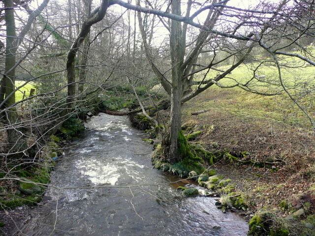
The Rhiangoll is a river in the Brecon Beacons National Park in Powys, Wales. It rises on the western slopes of Waun Fach, highest point of the Black Mountains (Welsh: Y Mynyddoedd Duon) and drops steeply down to the west into the north–south valley through which the A479 runs between Talgarth and the hamlet of Tretower and through the village of Cwmdu. It is joined by various minor tributary streams on its left bank including the Ffinnant, Nant yr Ychen, Nant-y-fedw and Nantygarreg, all of which rise on the flanks of the ridge extending between the Pen Trumau spur of Waun Fach and Pen Gloch-y-pibwr. Two tributary streams flowing from Mynydd Troed and Mynydd Llangorse enter on its right bank as does Nant Ewyn east of the village of Bwlch. The main valley was excavated by glacial ice during the course of the ice ages as it breached the watershed at Pengenffordd. Its broad lower section was influenced by the merging of the Rhiangoll valley ice with that of the main Usk Valley ... [...More Info...] [...Related Items...] OR: [Wikipedia] [Google] [Baidu] |
Abergavenny
Abergavenny (; cy, Y Fenni , archaically ''Abergafenni'' meaning "mouth of the River Gavenny") is a market town and community in Monmouthshire, Wales. Abergavenny is promoted as a ''Gateway to Wales''; it is approximately from the border with England and is located where the A40 trunk road and the A465 Heads of the Valleys road meet. Originally the site of a Roman fort, Gobannium, it became a medieval walled town within the Welsh Marches. The town contains the remains of a medieval stone castle built soon after the Norman conquest of Wales. Abergavenny is situated at the confluence of the River Usk and a tributary stream, the Gavenny. It is almost entirely surrounded by mountains and hills: the Blorenge (), the Sugar Loaf (), Ysgyryd Fawr (Great Skirrid), Ysgyryd Fach (Little Skirrid), Deri, Rholben and Mynydd Llanwenarth, known locally as " Llanwenarth Breast". Abergavenny provides access to the nearby Black Mountains and the Brecon Beacons National Park. The M ... [...More Info...] [...Related Items...] OR: [Wikipedia] [Google] [Baidu] |
Roman Roads In Britain
Roman roads in Britannia were initially designed for military use, created by the Roman Army during the nearly four centuries (AD 43–410) that Britannia was a province of the Roman Empire. It is estimated that about of paved trunk roads (surfaced roads running between two towns or cities) were constructed and maintained throughout the province. Most of the known network was complete by 180. The primary function of the network was to allow rapid movement of troops and military supplies, but it subsequently provided vital infrastructure for commerce, trade and the transportation of goods. A considerable number of Roman roads remained in daily use as core trunk roads for centuries after the end of Roman rule in Britain in 410. Some routes are now part of the UK's national road network. Others have been lost or are of archeological and historical interest only. After the Romans departed, systematic construction of paved highways in the United Kingdom did not resume un ... [...More Info...] [...Related Items...] OR: [Wikipedia] [Google] [Baidu] |
Standing Stone
A menhir (from Brittonic languages: ''maen'' or ''men'', "stone" and ''hir'' or ''hîr'', "long"), standing stone, orthostat, or lith is a large human-made upright rock (geology), stone, typically dating from the European middle Bronze Age. They can be found individually as monoliths, or as part of a group of similar stones. Menhirs' size can vary considerably, but they often taper toward the top. They are widely distributed across Europe, Africa and Asia, but are most numerous in Western Europe; particularly in Ireland, Great Britain, and Brittany, where there are about 50,000 examples, and northwestern France, where there are some 1,200 further examples. Standing stones are usually difficult to date. They were constructed during many different periods across pre-history as part of the larger megalithic cultures in Europe and near areas. Some menhirs stand next to buildings that have an early or current religious significance. One example is the South Zeal Menhir in Devon, ... [...More Info...] [...Related Items...] OR: [Wikipedia] [Google] [Baidu] |
Bwlch Powys Wales War Memorial By Aberdare Blog
Bwlch (meaning ''a pass'' in Welsh) is a small village and an electoral ward in Powys, southern Wales. The settlement is strung out along the A40 road which crosses a low col above the Usk Valley at this point on its route between Brecon and Crickhowell. The village is a part of the administrative community of Llanfihangel Cwmdu with Bwlch and Cathedine. Geography The village is situated about north of the River Usk and about 100 metres above the floor of the Usk Valley at around above sea level. The geographical feature from which it derives its name separates the rolling moorland of Cefn Moel and Mynydd Llangorse in the northeast from Buckland Hill to the southwest. Various parts of the village command panoramic views across the Rhiangoll valley to the south-western flanks of the Black Mountains, west to the Brecon Beacons and south to Mynydd Llangynidr and Mynydd Llangatwg. About to the northwest is the hill of Allt yr Esgair (commonly referred to locally as 'The Allt ... [...More Info...] [...Related Items...] OR: [Wikipedia] [Google] [Baidu] |
Talybont-on-Usk
Talybont-on-Usk ( cy, Tal-y-bont ar Wysg) is a village and community in Powys, Wales, in the historic county of Brecknockshire. It lies on both the Caerfanell river and the Monmouthshire and Brecon Canal, about from the River Usk. In 2001, it had a population of 743, reducing to 719 at the 2011 census. The community includes the settlements of Llansantffraed, Scethrog, Aber Village, and Pencelli. History Allt yr Esgair is a steep-sided hill to the north east of Talybont, and has an Iron Age settlement on the summit. There are other Iron Age and Bronze Age sites in the vicinity, and a Roman road flanks the slopes of Allt yr Esgair. A small castle was built at Pencelli during the Norman invasion, and this was later replaced by the sixteenth century Pencelli House. The canal was built around 1800 to transport lime, coal and iron to Newport. There are some lime kilns to the east of the village, and a tramroad was built to transport limestone from the crags above. The languag ... [...More Info...] [...Related Items...] OR: [Wikipedia] [Google] [Baidu] |
Llangors
Llangors (also known as Llangorse) is a small village, community and electoral ward in southern Powys, in the historic county of Brecknockshire, within the Brecon Beacons National Park. Description Llangors lies a few miles east of Brecon, between Bwlch and Brecon on the B4560, just off the A40, and is home to the largest natural lake in southern Wales, Llangorse Lake. Nant Cwy, a small stream, runs through the village before emptying into the lake. Llangors is a popular tourist destination and offers visitors a variety of activities: boating, canoeing, sailing, windsurfing, coarse fishing, bird watching, pony trekking, hill walking and indoor climbing. There has been a long history of settlement at Llangorse. A dug-out canoe dating from around AD 800 was found in 1925 and is now on display in Brecon Museum. The church, St.Paulinus, dates back to the 15th century, but the font has been dated to around 1300 and the earliest records of a church building on the site date back to ... [...More Info...] [...Related Items...] OR: [Wikipedia] [Google] [Baidu] |
Llangorse Lake
Llangorse Lake ( cy, Llyn Syfaddon, variant: ) is the largest natural lake in Mid and South Wales, and is situated in the Brecon Beacons National Park, near the town of Brecon and the village of Llangors. The lake is famous for its coarse fishing (particularly pike), watersports, the (a monster nicknamed 'Gorsey') and has the only example of a crannog in Wales. Llangorse Lake is also one of the most mentioned sites in Welsh folklore. It is a site of international conservation importance. Due to the lake's long history of human activity, it has been known by several different names during its history, both in the Welsh language and in English: other names include the lake's original Welsh name, , and '' Mere''. The name ''Llangorse Lake'' is comparatively recent. Geography Llangorse Lake is a eutrophic glacial lake with a perimeter covering an area of . The lake is long, is above sea level and has a maximum depth of . It occupies a glacially scoured rock basin partly enhanced ... [...More Info...] [...Related Items...] OR: [Wikipedia] [Google] [Baidu] |
Tor Y Foel
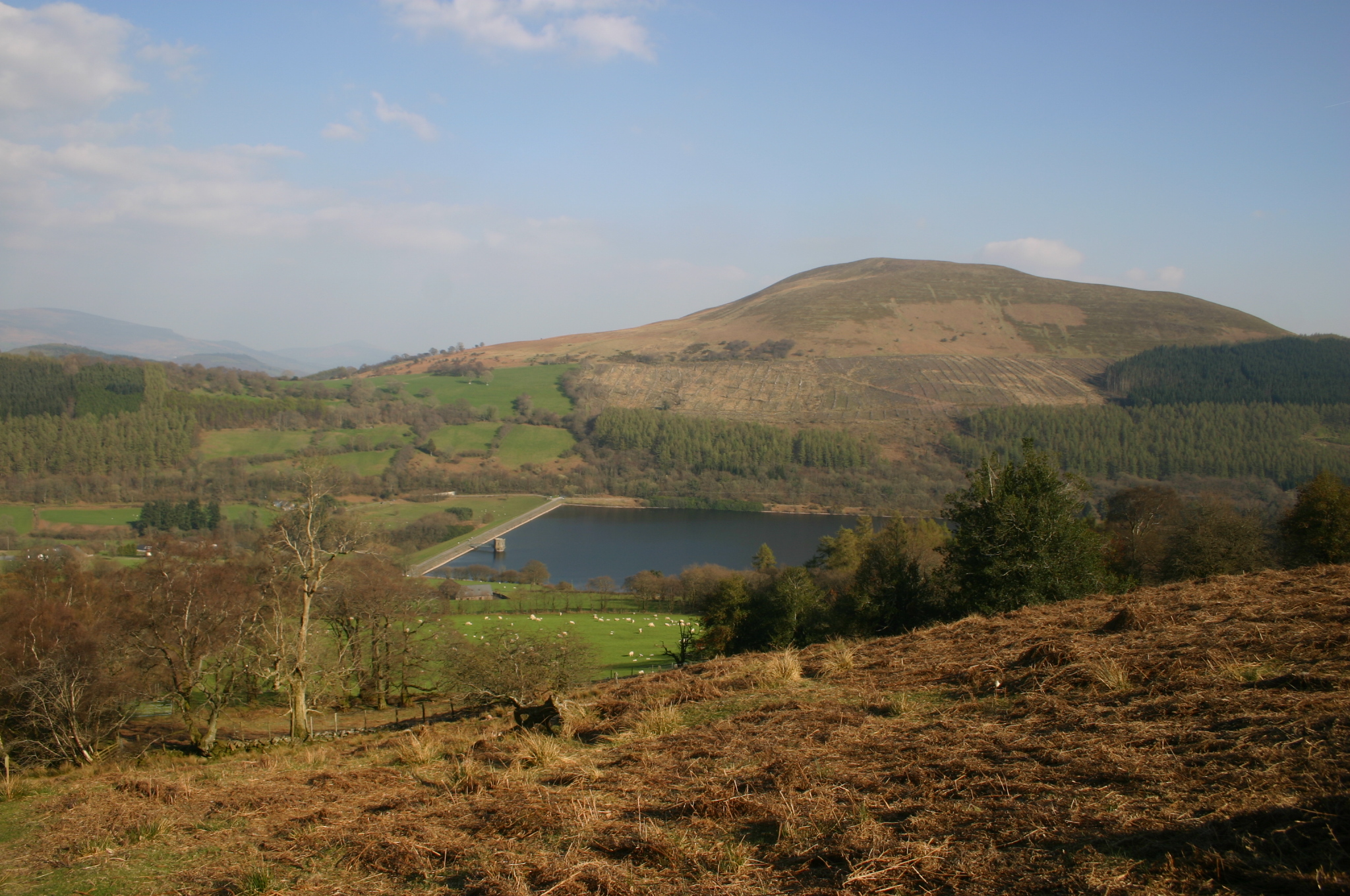
Tor y Foel is a hill in the Brecon Beacons National Park in the county of Powys in Wales. It is located on the eastern flank of Talybont Reservoir, and the summit at 551m is marked by a small cairn. It gives excellent panoramic views over the valley of the River Usk, across to the Black Mountains and west to the Brecon Beacons. Geology The hill is formed entirely from sandstones and mudstones of the Brownstones Formation of the Old Red Sandstone laid down during the lower Devonian period. Where they are exposed these rocks are seen to dip gently southeastwards. Small diggings near the top of the hill may have been for stone suitable for use as roof tiles.British Geological Survey 1:50,000 map sheet 232 'Abergavenny' & accompanying memoir Access The upper reaches of the hill are mapped as open country and therefore available for walkers to roam at will. A minor public road from Talybont-on-Usk Talybont-on-Usk ( cy, Tal-y-bont ar Wysg) is a village and community in Powy ... [...More Info...] [...Related Items...] OR: [Wikipedia] [Google] [Baidu] |
Allt Yr Esgair
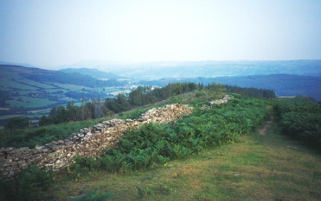
Allt yr Esgair is a hill in the Brecon Beacons National Park in Powys, Wales. It is commonly referred to locally as simply 'The Allt'. The Welsh name signifies 'wooded slope of the ridge'. It takes the form of a northwest-southeast aligned ridge which rises to a height of 393m (1289 feet) and which overlooks the valley of the River Usk to the west and south. To the northeast are panoramic views across Llangorse Lake to the Black Mountains There is a viewfinder on the summit erected as a monument to Eirene Lloyd White, Baroness White of Rhymney. It is a Marilyn with a prominence of 199 metres (653 feet). Geology The hill is formed from sandstones and mudstones of the Senni Formation (formerly the Senni Beds) of the Old Red Sandstone laid down during the Devonian period. The lower slopes are formed from mudstones and sandstones of the slightly older St. Maughans Formation. A number of small sandstone quarries, now disused, adorn the slopes. The hill probably stood out above th ... [...More Info...] [...Related Items...] OR: [Wikipedia] [Google] [Baidu] |
Mynydd Llangatwg
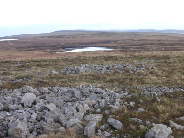
Mynydd Llangatwg or Llangattock Mountain is a hill in the Brecon Beacons National Park in the county of Powys, south Wales. It is named from the village of Llangatwg (or ' Llangattock') which sits in the valley of the River Usk to the north of it. It is essentially an undulating plateau rising in the west to a height of at and in the east to a height of at Hen Dy-aderyn / Twr Pen-cyrn. This spot is marked by a trig point. The shallow pool of Pwll Gwy-rhoc sits in a broad depression towards the northern edge of the plateau whilst a smaller pool frequently occupies a large shakehole a few hundred metres to its west. The hill forms an impressive northern scarp overlooking the Usk valley and commonly referred to as the Llangattock Escarpment. Its southern margins are more subdued. Its eastern end is defined by the drops into the Clydach Gorge. Beyond the B4560 to the west the hill merges with Mynydd Llangynidr which has a similar character. Particular features of note include 'T ... [...More Info...] [...Related Items...] OR: [Wikipedia] [Google] [Baidu] |


