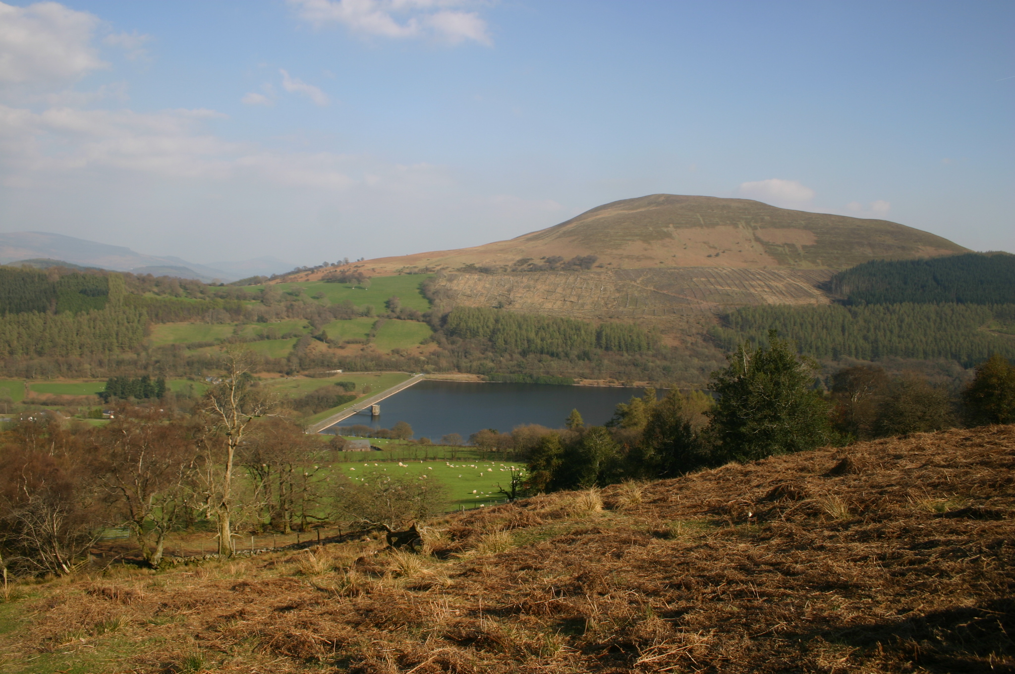
Tor Y Foel on:
[Wikipedia]
[Google]
[Amazon]
 Tor y Foel is a hill in the
images of Tor y Foel and surrounds from Geograph website
{{coord, 51.8669, -3.2874, type:mountain_region:GB, display=title Brecon Beacons Mountains and hills of Powys Marilyns of Wales
 Tor y Foel is a hill in the
 Brecon Beacons National Park
The Brecon Beacons National Park ( cy, Parc Cenedlaethol Bannau Brycheiniog) is one of three national parks in Wales, and is centred on the Brecon Beacons range of hills in southern Wales. It includes the Black Mountain ( cy, Y Mynydd Du) i ...
in the county of Powys
Powys (; ) is a county and preserved county in Wales. It is named after the Kingdom of Powys which was a Welsh successor state, petty kingdom and principality that emerged during the Middle Ages following the end of Roman rule in Britain.
Geog ...
in Wales
Wales ( cy, Cymru ) is a country that is part of the United Kingdom. It is bordered by England to the east, the Irish Sea to the north and west, the Celtic Sea to the south west and the Bristol Channel to the south. It had a population in ...
. It is located on the eastern flank of Talybont Reservoir
Talybont Reservoir ( cy, Cronfa Ddŵr Tal-y-bont) is the largest stillwater reservoir in the central Brecon Beacons at . Talybont-on-Usk is downstream of the dam.
Construction of the current dam started in 1931 by Newport Corporation, and in ...
, and the summit at 551m is marked by a small cairn. It gives excellent panoramic views over the valley of the River Usk, across to the Black Mountains and west to the Brecon Beacons.
Geology
The hill is formed entirely from sandstones and mudstones of the Brownstones Formation of theOld Red Sandstone
The Old Red Sandstone is an assemblage of rocks in the North Atlantic region largely of Devonian age. It extends in the east across Great Britain, Ireland and Norway, and in the west along the northeastern seaboard of North America. It also exte ...
laid down during the lower Devonian period
The Devonian ( ) is a geologic period and system of the Paleozoic era, spanning 60.3 million years from the end of the Silurian, million years ago (Mya), to the beginning of the Carboniferous, Mya. It is named after Devon, England, w ...
. Where they are exposed these rocks are seen to dip gently southeastwards. Small diggings near the top of the hill may have been for stone suitable for use as roof tiles.British Geological Survey 1:50,000 map sheet 232 'Abergavenny' & accompanying memoir
Access
The upper reaches of the hill are mapped asopen country
"Open Country" is a designation used for some UK access land.
It was first defined under the National Parks and Access to the Countryside Act 1949 (and extended by the Countryside Act 1968), and was land over which an appropriate access agree ...
and therefore available for walkers to roam at will. A minor public road from Talybont-on-Usk
Talybont-on-Usk ( cy, Tal-y-bont ar Wysg) is a village and community in Powys, Wales, in the historic county of Brecknockshire. It lies on both the Caerfanell river and the Monmouthshire and Brecon Canal, about from the River Usk. In 2001 ...
skirts the western side of the hill and a bridleway from Llangynidr gives access to the eastern corner of the hill.
References
External links
images of Tor y Foel and surrounds from Geograph website
{{coord, 51.8669, -3.2874, type:mountain_region:GB, display=title Brecon Beacons Mountains and hills of Powys Marilyns of Wales