|
Berlin-Copenhagen Cycle Route
The Berlin–Copenhagen Cycle Route (german: Radfernweg Berlin-Kopenhagen) is a long-distance cycling route that connects the German and Danish capital cities. The German portion of the route, between Berlin and Rostock, is approximately ; the Danish portion, between Gedser and Copenhagen, is approximately . Between Rostock and Gedser, cyclists must take a ferry. The Berlin–Copenhagen Cycle Route is part of the EuroVelo 7 cycling route, which runs from the top of Norway to the island of Malta in the Mediterranean Sea. It also forms part of the German Cycling Network's D-Route 11, which runs from the Bavarian Alps to the Baltic Sea. Route The route is paved for the majority of its length, sometimes running on a road with automobiles, but most of the time its own path, which may or may not run parallel to an auto road. A very few stretches of the route, for example between Neustrelitz and Waren, are not paved but perfectly acceptable to ride over with an average road or h ... [...More Info...] [...Related Items...] OR: [Wikipedia] [Google] [Baidu] |
Bützow
Bützow is a town in the district of Rostock in Mecklenburg-Vorpommern in north-eastern Germany, centered on Bützower See. History The town was first mentioned in 1171. From 1815 to 1918 Bützow was part of the Grand Duchy of Mecklenburg-Schwerin, from 1871 within the German Empire. From 1933 to 1945, during Nazi rule and World War II, a Nazi prison was operated in the Dreibergen district with multiple forced labour subcamps located in various places in the region. After the war, the town was part of East Germany until 1990. On 5 May 2015, the town was struck by an F3 tornado which caused severe damage to many buildings, including the local hospital. Culture Medieval Bützow Castle is located in Bützow. The town also has a medieval Brick Gothic church, which contains an altarpiece made by the Master of the Bützow Altarpiece (1503). Bützow also has one of the last German monuments dedicated to Lenin, a memorial stone located at Leninring.https://leninisstillaround.com/2017 ... [...More Info...] [...Related Items...] OR: [Wikipedia] [Google] [Baidu] |
Hohen Neuendorf
Hohen Neuendorf () is a town in the Oberhavel district, in Brandenburg, Germany. It is located north west of Berlin. Geography Hohen Neuendorf is situated upon the Havel river (built on the Oder-Havel Canal) and is bordered by the Berlin areas Frohnau and Heiligensee to the south, Mühlenbecker Land to the east, Birkenwerder and Oranienburg to the north, and Hennigsdorf and Velten to the west. Division of the town Hohen Neuendorf consists of 4 districts (with area codes): * Hohen Neuendorf and its districts (') Elseneck and Niederheide (area code: 16540) * Stolpe (area code: 16540) * Borgsdorf and its districts (''Wohnplätze'') Pinnow, Weißes Haus and Havelhausen (area code: 16556) * Bergfelde (area code: 16562) Demography Bevölkerungsentwicklung Hohen Neuendorf.pdf, Development of Population since 1875 within the Current Boundaries (blue line: population; dotted line: comparison to population development of Brandenburg state; Grey background: Time of Nazi rule; Red backgroun ... [...More Info...] [...Related Items...] OR: [Wikipedia] [Google] [Baidu] |
Birkenwerder
Birkenwerder is a municipality in the Oberhavel district, in Brandenburg, Germany. Geography Birkenwerder is situated in the south of Oberhavel. The northern border of Berlin is 3 kilometres away. Birkenwerder shares his border with Oranienburg in the north, Mühlenbecker Land in the east and Hohen Neuendorf in the south and in the north. In the centre of Birkenwerder is the river Briese. In the west of Birkenwerder it empties in the River Havel. ''Briese'' and ''Lindenhof'' are districts () of Birkenwerder. More than 50% of the area consists of forest. There are many forest roads, also along the river ''Briese''. Birkenwerder is connected to the motorway A 10 (Bundesautobahn 10), the B 96 (Bundesstraße 96 The Bundesstraße 96 (B 96) is a federal highway in Germany. It begins in Zittau in Saxony, close to the border triangle between Germany, Poland, and the Czech Republic, heads north through Berlin and ends in Sassnitz on the island of Rügen in th ...) and the B 96a which end ... [...More Info...] [...Related Items...] OR: [Wikipedia] [Google] [Baidu] |
Oranienburg
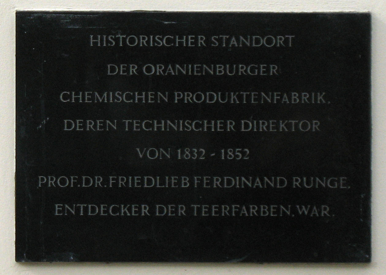
Oranienburg () is a town in Brandenburg, Germany. It is the capital of the district of Oberhavel. Geography Oranienburg is a town located on the banks of the Havel river, 35 km north of the centre of Berlin. Division of the town Oranienburg consists of nine districts: * Friedrichsthal * Germendorf * Lehnitz * Malz * Oranienburg * Sachsenhausen * Schmachtenhagen * Wensickendorf * Zehlendorf History Originally named Bötzow, the town of Oranienburg dates from the 12th century and was first mentioned in 1216. Margrave Albert the Bear (ruled 1157–1170) allegedly ordered the construction of a castle on the banks of the Havel. Around the castle stood a settlement of traders and craftsmen. In 1646, Friedrich Wilhelm I of Brandenburg married Louise Henriette of Orange-Nassau (German: ''Oranien-Nassau''). She was so attracted by the town of Bötzow that her husband presented the entire region to her. The princess ordered the construction of a new castle in the Dutch style and ... [...More Info...] [...Related Items...] OR: [Wikipedia] [Google] [Baidu] |
Liebenwalde
Liebenwalde is a town in the Oberhavel district, in Brandenburg, Germany. It is situated 16 km northeast of Oranienburg, and 39 km north of Berlin (centre). In 2003, the administrative boundaries were expanded to include Freienhagen, Hammer, Kreuzbruch, Liebenthal and Neuholland. Demography File:Bevölkerungsentwicklung Liebenwalde.pdf, Development of Population since 1875 within the Current Boundaries (Blue Line: Population; Dotted Line: Comparison to Population Development of Brandenburg state; Grey Background: Time of Nazi rule; Red Background: Time of Communist rule) File:Bevölkerungsprognosen Liebenwalde.pdf, Recent Population Development and Projections (Population Development before Census 2011 (blue line); Recent Population Development according to the Census in Germany A national census in Germany (german: Volkszählung) was held every five years from 1875 to 1910. After the World Wars, only a few full population censuses have been held, the last in 1987. ... [...More Info...] [...Related Items...] OR: [Wikipedia] [Google] [Baidu] |
Zehdenick
Zehdenick is a town in the Oberhavel district, in Brandenburg, Germany. It is situated on the river Havel, southeast of Fürstenberg/Havel, and north of Berlin (centre). Since 31 July 2013, the city has the additional appellation "Havelstadt". Geography Zehdenick is located about 60 km north of Berlin on the Havel. It forms the northern starting point of the natural region of the Zehdenick-Spandauer Havelniederung. East extends the Schorfheide-Chorin Biosphere Reserve. The urban area belongs mainly to the historical landscape Uckermark. The subdivisions Marienthal and Ribbeck pertain to the Ruppiner Land, Mildenberg and Zabelsdorf to the Land Löwenberg. Zehdenick has a share in the ''Naturschutzgebiet'' Kleine Schorfheide. Subdivision The urban area of Zehdenick next to the core city Zehdenick includes 13 villages: Besides these ''Ortsteile'' (districts), there are several smaller inhabited places: Amt Mildenberg, Ausbau (District Ribbeck), Ausbau (Core city Zehdenick), ... [...More Info...] [...Related Items...] OR: [Wikipedia] [Google] [Baidu] |
Gransee
Gransee ()''Duden - Das Aussprachewörterbuch, 7. Auflage (German)'', Dudenverlag, is a town in the Oberhavel district, in Brandenburg, Germany. It is situated 20 km south of Fürstenberg/Havel, and 55 km northwest of Berlin. An important monument in the centre of town is the cast-iron and stone Memorial to Queen Luise (Luisendenkmal), which was designed by the German architect Karl Friedrich Schinkel in the neo-gothic style. A sport airfield is situated in the eastern part of the town. It is one of the major drop zones in the vicinity of Berlin. Demography Local council The local council has 19 members: * Christian Democratic Union: 5 seats * Social Democratic Party of Germany: 5 seats * The Left: 3 seats * Voters association Gransee: 3 seats * Voters association Citizens for Gransee: 2 seats * Mayor: 1 seat Local elections in Brandenburg May 25, 2014 Photogallery File:Gransee_Wartturm.jpg, Watch tower File:St_marien_gransee.jpg, St. Mary's Church in Gransee Fi ... [...More Info...] [...Related Items...] OR: [Wikipedia] [Google] [Baidu] |
Fürstenberg/Havel
Fürstenberg () is a town in the Oberhavel district, Brandenburg, Germany. Until 1919, Fürstenberg was part of the former Grand Duchy of Mecklenburg-Strelitz Geography Fürstenberg is situated on the River Havel, south of Neustrelitz, and north of Berlin. The city lies at the southern edge of the Mecklenburg Lake District and is framed by the Röblinsee, Baalensee, and Schwedtsee lakes. The River Havel splits into several channels as it flows through the town, one of which contains a lock used by vessels navigating the river. The original town site was situated on an island between these channels. Districts of Fürstenberg Fürstenberg includes nine areas, named for former villages that are now mostly farmland or little more than a church: * Altthymen * Barsdorf * Blumenow * Bredereiche * Himmelpfort * Steinförde * Ravensbrück * Tornow * Zootzen Fürstenberg Palace North from the center of the city is Fürstenberg Palace, which was built between 1741 and 1752 by the ... [...More Info...] [...Related Items...] OR: [Wikipedia] [Google] [Baidu] |
Stechlin
Stechlin is a municipality in the Oberhavel district, in Brandenburg, Germany. Geography Stechlin is part of the northern border of Brandenburg, at the start of the Mecklenburg Lake District. It is part of the Stechlin-Ruppiner Land Nature Park, surrounded by the Menzer Forest and has many lakes in the area. The most famous is Lake Stechlin (Stechlinsee) which is a protected area. Districts of Stechlin * Dagow * Dollgow * Güldenhof * Menz * Neuglobsow * Neuroofen * Schulzenhof Demography District Authority Stechlin is in the borough of Gransee. Stechlin has its own council that is responsible for 3 districts: * Dollgow with Schulzenhof and Güldenhof * Neuglobsow with Dagow * Menz with Neuroofen File:Menz_church.jpg, Church in Menz File:Neuglobsow_church.jpg, Church in Neuglobsow File:Roofensee_Menz.jpg, Lake Roofen in Menz File:Schulzenhof_Strittmatter_Grab.jpg, Erwin Strittmatter's grave in Schulzenhof See also * Roofensee Roofensee is a lake in Oberha ... [...More Info...] [...Related Items...] OR: [Wikipedia] [Google] [Baidu] |
Wesenberg (Mecklenburg)
Wesenberg () is a town in the Mecklenburgische Seenplatte district, in Mecklenburg-Western Pomerania, Germany. It is situated 11 km southwest of Neustrelitz, at the south-west end of the Woblitzsee. Wesenberg Castle is located just outside the town. File:Wesenberg Markt.jpg, Wesenberg market square File:Wesenberg Kirche.jpg, Church of Wesenberg File:Ahrensberg Dorfkirche Fachwerk.jpg, Ahrensberg Church File:Zirtow Kirche3.jpg, Zirtow Church File:Großer Weißer See.JPG, ''Great White Lake'' (Grosser Weisser See) Notable people *Heinrich Plütschau (1676–1752), one of the first Evangelical priests to India India, officially the Republic of India (Hindi: ), is a country in South Asia. It is the seventh-largest country by area, the second-most populous country, and the most populous democracy in the world. Bounded by the Indian Ocean on the so ... References External links *Official website(German) Cities and towns in Mecklenburg Populated places estab ... [...More Info...] [...Related Items...] OR: [Wikipedia] [Google] [Baidu] |
Neustrelitz
Neustrelitz (; East Low German: ''Niegenstrelitz'') is a town in the Mecklenburgische Seenplatte district in the state of Mecklenburg-Vorpommern, Germany. It is situated on the shore of the Zierker See in the Mecklenburg Lake District. From 1738 until 1918 it was the capital of the Duchy of Mecklenburg-Strelitz. From 1994 until 2011 it was the capital of the district of Mecklenburg-Strelitz. The name ''Strelitz'' is derived from the Polabian word ''Strelci'', meaning "archers" or "shooters".The related Polish form '' Strzelce'' is still a common toponym in Poland. History The village of Strelitz was first mentioned in 1278. It grew to a small town in the following centuries. In the 17th century Strelitz was a part of the duchy of Mecklenburg-Güstrow, which ceased to exist after the death of the last duke in 1695. Afterwards the new Duchy of Mecklenburg-Strelitz was established (1701). This small duchy contained the present-day district and an exclave around Ratzeburg, which i ... [...More Info...] [...Related Items...] OR: [Wikipedia] [Google] [Baidu] |


