|
Buyeo-gun
Buyeo County (''Buyeo-gun'') is a county in South Chungcheong Province, South Korea. Buyeo-eup, the county's capital, was the site of the capital of Baekje from 538-660 AD, during which it was called Sabi Fortress. Famous people associated with Buyeo County in more recent times include noted stem-cell researcher Hwang Woo-suk. Geography Buyeo is located at the southern area of Chungcheongnam-do, the heart of the Korean peninsula. During the Three Kingdoms Era, the capital of Baekje was moved to present-day Buyeo-eup (then called Sabi) on account of crowding in the former capital, which was near present-day Seoul. A fortress called Garimseong was constructed for defending the new capital. Buyeo County has numerous historical sites from this era, such as the mountain fortresses ('' sanseong'') at Seongheung, Buso, and Cheong, the tumuli at Neungsan-ri, and the temple site at Gunsu-ri, all designated Historic Sites of South Korea. Climate Baekje Cultural Festival Buyeo Coun ... [...More Info...] [...Related Items...] OR: [Wikipedia] [Google] [Baidu] |
Historic Sites Of South Korea
Historic Sites of South Korea ( ko, 대한민국의 사적) are South Korean cultural heritages at state-level, designated by the Cultural Heritage Administration of Korea, for places and facilities of great historic and academic values that are specially commemorable. It is notifiable that structures built from the late 19th century to the 1940s are not eligible for listing as "Historic Sites", but rather may be officially listed as 'Cultural Heritage of early modern Times' among 'Registered Cultural Heritage', "if they are highly valuable and on the verge of destruction or deterioration". Overview Historic Sites of South Korea is designated by the Administrator of the Cultural Heritage Administration, under article 25 of 'Cultural Heritage Protection Act' () of South Korea. Below table is list of Historic Sites of South Korea until February 2017. Missing numbers in each table indicates such designation have been cancelled later. List of Historic Sites Designation number f ... [...More Info...] [...Related Items...] OR: [Wikipedia] [Google] [Baidu] |
List Of Counties In South Korea
List of all counties in South Korea: There are 82 counties in South Korea since Cheongwon County was dissolved on July 1, 2014 and consolidated by Cheongju. Dissolved counties ;1946 * Cheongju County * Chuncheon County * Yeongpyeong County ;1949 * Yeosu County ;1952 * Gangreung County * Gyeongju County * Wonju County ;1956 * Chungju County ;1963 * Cheongan County ;1973 * Bucheong County * Dongrae County ;1980 * Jecheong County ;1988 * Gwangsan County ;1989 * Chunseong County * Daedeok County * Siheung County * Wolseong County * Wonseong County ;1992 * Goyang County ;1995 * Asan County * Boryeong County * Changwon County * Cheonan County * Chuncheon County * Geoje County * Geumreung County * Gimhae County * Gimje County * Gongju County * Gwangyang County * Gyeongju County * Gyeongsan County * Iksan County * Jecheon County * Jeongeup County * Jinyang County annexed by Jinju * Jungwon County annexed by Chungju * Miryang County * Mungyeong Co ... [...More Info...] [...Related Items...] OR: [Wikipedia] [Google] [Baidu] |
Geography Of South Korea
South Korea is located in East Asia, on the southern portion of the Korean Peninsula located out from the far east of the Asian landmass. The only country with a land border to South Korea is North Korea, lying to the north with of the border running along the Korean Demilitarized Zone. South Korea is mostly surrounded by water and has of coast line along three seas; to the west is the Yellow Sea (called ''Sohae'' ; in South Korea, literally means west sea), to the south is the East China Sea, and to the east is the Sea of Japan (called ''Donghae'' ; in South Korea, literally means east sea). Geographically, South Korea's landmass is approximately . of South Korea are occupied by water. The approximate coordinates are 37° North, 128° East. Land area and borders The Korean Peninsula extends southward from the northeast part of the Asian continental landmass. The Japanese islands of Honshū and Kyūshū are located some 200 km (124 mi) to the southeast across ... [...More Info...] [...Related Items...] OR: [Wikipedia] [Google] [Baidu] |
List Of Baekje-related Topics
Articles about Baekje-related people, places, things, and concepts include: A * Abe no Hirafu * Ajikgi * Asin of Baekje B * Baekje * Battle of Baekgang * Battle of Hwangsanbeol * Beop of Baekje * Biryu of Baekje * Biyu of Baekje * Gwisil Boksin * Bunseo of Baekje * Buyeo County * Buyeo National Museum * Buyeo Pung * Buyeo Yung C * Chaekgye of Baekje * Chiljido * Chogo of Baekje D * Daifang commandery * Daru of Baekje * Dongseong of Baekje G * Gaero of Baekje * Gaeru of Baekje * Geunchogo of Baekje * Geungusu of Baekje * Gilt-bronze Incense Burner of Baekje * Giru of Baekje * Goi of Baekje * Guisin of Baekje * Gusu of Baekje * Gwalleuk, Buddhist monk who traveled to Japan. * Gye of Baekje * Gyeon Hwon H * Hye of Baekje J * Jeonji of Baekje * Jinsa of Baekje M * Mahan confederacy * Mu of Baekje * Munju of Baekje * Muryeong of Baekje N * Neungsan-ri O * Onjo of Baekje P * Pungnap Toseong S * Saban of Baekje * Sabi * Samgeun of Baekje * Seong of Baekje U * U ... [...More Info...] [...Related Items...] OR: [Wikipedia] [Google] [Baidu] |
Nara Prefecture
is a prefecture of Japan located in the Kansai region of Honshu. Nara Prefecture has a population of 1,321,805 and has a geographic area of . Nara Prefecture borders Kyoto Prefecture to the north, Osaka Prefecture to the northwest, Wakayama Prefecture to the southwest, and Mie Prefecture to the east. Nara is the capital and largest city of Nara Prefecture, with other major cities including Kashihara, Ikoma, and Yamatokōriyama. Nara Prefecture is located in the center of the Kii Peninsula on Japan's Pacific Ocean coast, and is one of only eight landlocked prefectures. Nara Prefecture has the distinction of having more UNESCO World Heritage listings than any other prefecture in Japan. History Nara Prefecture region is considered one of the oldest regions in Japan, having been in existence for thousands of years, and is widely viewed as the Japanese cradle of civilization. Like Kyoto, Nara was one of Imperial Japan's earliest capital cities. The current form of Nara Prefec ... [...More Info...] [...Related Items...] OR: [Wikipedia] [Google] [Baidu] |
Asuka, Nara
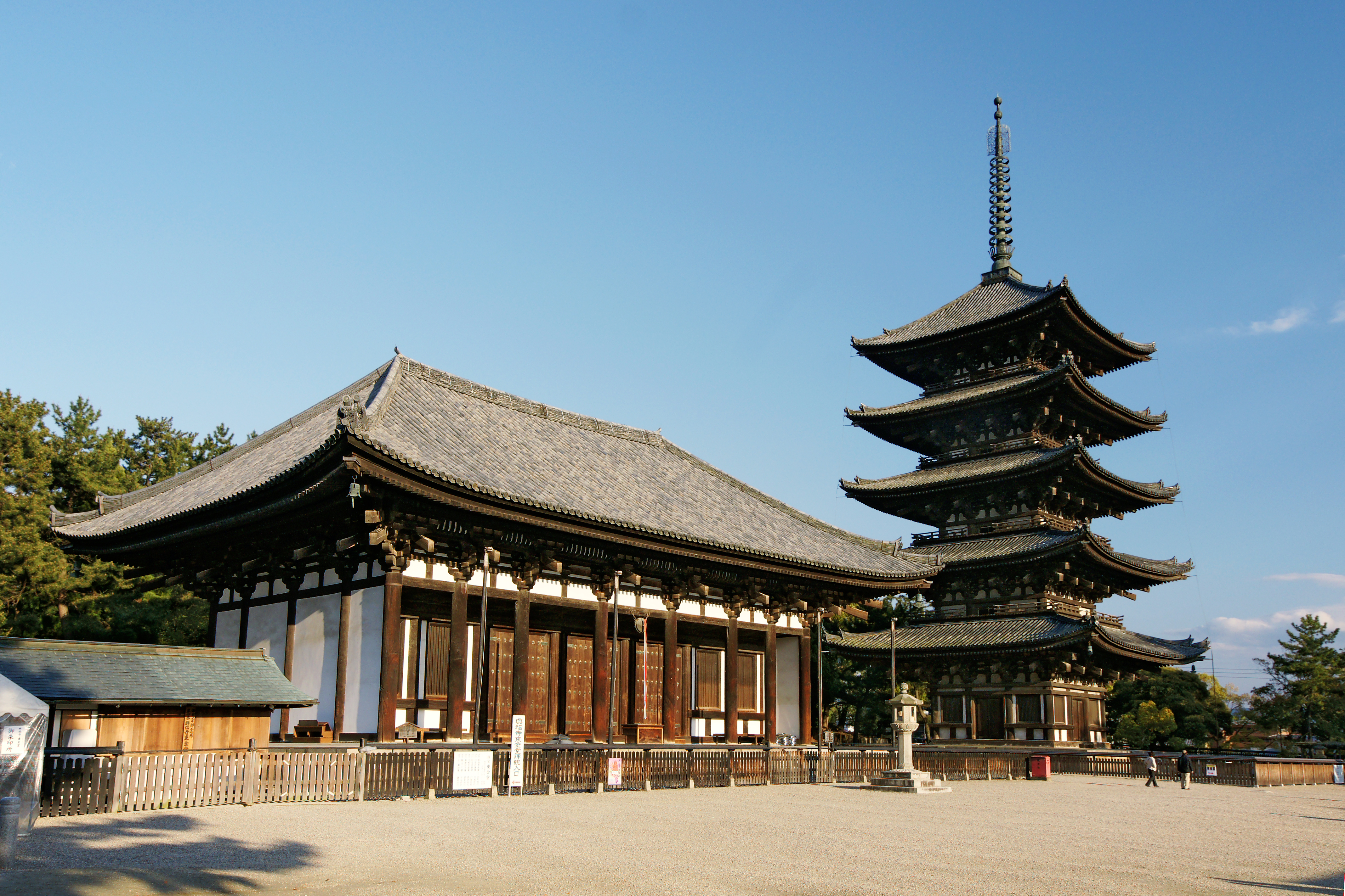
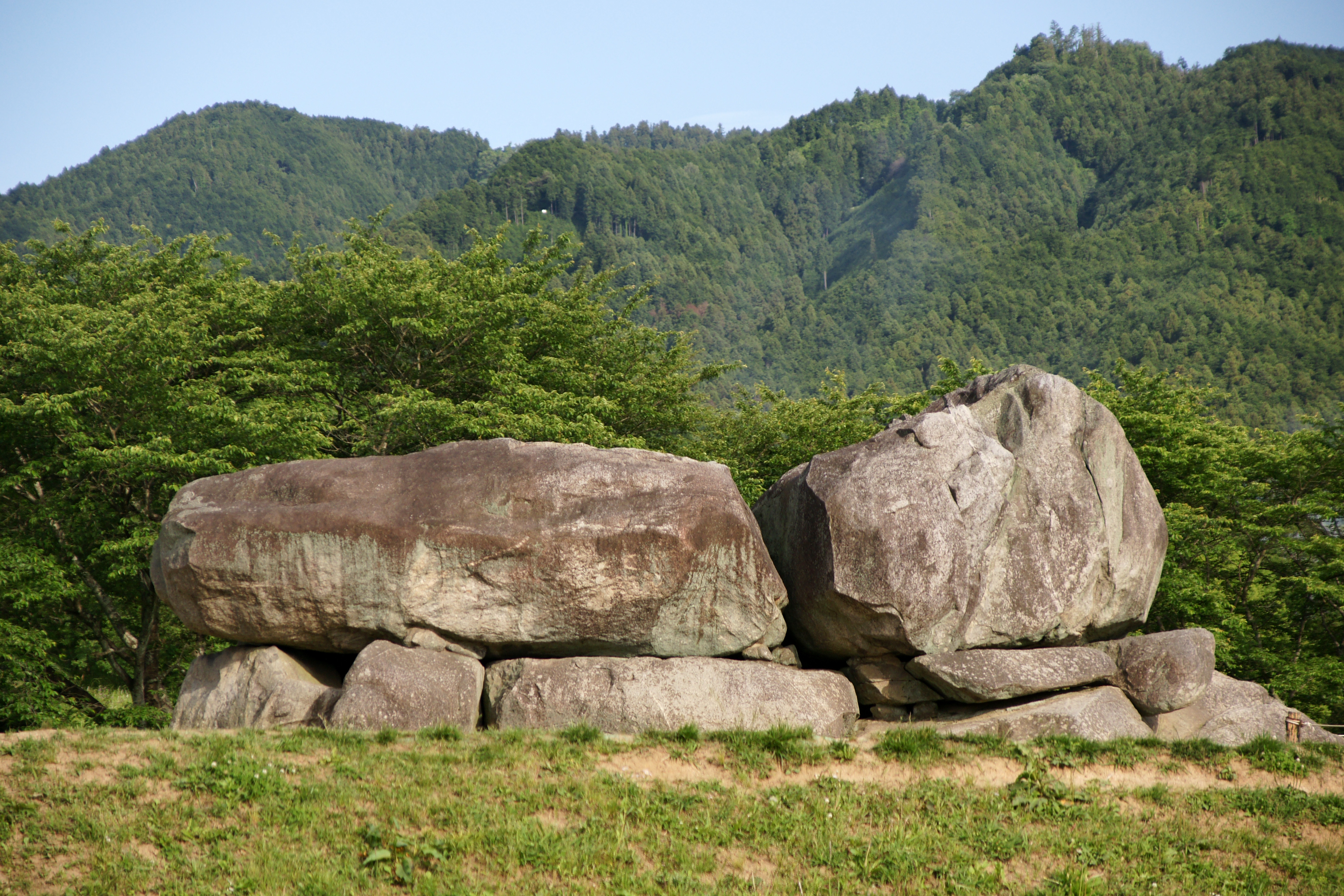
is a village located in Takaichi District, Nara Prefecture, Japan. As of April 1, 2017, the village has an estimated population of 5,681, with 2,170 households, and a population density of . The total area is . Asuka is the land where ancient palaces were located. There are strict rules governing construction in this historic town. Asuka can be reached from Okadera or Asuka Station on Kintetsu Yoshino Line train line. Although it's outside Asuka, Kashiharajingū-mae Station in neighboring Kashihara has service on the Kintetsu Kashihara Line, Minami Osaka Line and Yoshino Lines. By car, Asuka is on Route 169. History ''For the ancient Asuka, see Asuka period and Asuka, Yamato.'' In 1956, the village of Asuka (明日香) was founded as a result of a merger of three villages, Sakaai, Takechi and Asuka (飛鳥村). In 1966, Asuka was proclaimed a "historic town", as defined by the national Special Arrangement for Preservation of Historic Sites Laas well as Kyoto, Nara and ... [...More Info...] [...Related Items...] OR: [Wikipedia] [Google] [Baidu] |
Henan
Henan (; or ; ; alternatively Honan) is a landlocked province of China, in the central part of the country. Henan is often referred to as Zhongyuan or Zhongzhou (), which literally means "central plain" or "midland", although the name is also applied to the entirety of China proper. Henan is a birthplace of Han Chinese civilization, with over 3,200 years of recorded history and remained China's cultural, economic and political center until approximately 1,000 years ago. Henan Province is home to many heritage sites, including the ruins of Shang dynasty capital city Yin and the Shaolin Temple. Four of the Eight Great Ancient Capitals of China, Luoyang, Anyang, Kaifeng and Zhengzhou, are in Henan. The practice of tai chi also began here in Chen Jia Gou Village (Chen style), as did the later Yang and Wu styles. Although the name of the province () means "south of the ellowriver.", approximately a quarter of the province lies north of the Yellow River, also known as the Hu ... [...More Info...] [...Related Items...] OR: [Wikipedia] [Google] [Baidu] |
Luoyang
Luoyang is a city located in the confluence area of Luo River (Henan), Luo River and Yellow River in the west of Henan province. Governed as a prefecture-level city, it borders the provincial capital of Zhengzhou to the east, Pingdingshan to the southeast, Nanyang, Henan, Nanyang to the south, Sanmenxia to the west, Jiyuan to the north, and Jiaozuo to the northeast. As of December 31, 2018, Luoyang had a population of 6,888,500 inhabitants with 2,751,400 people living in the built-up (or metro) area made of the city's five out of six urban districts (except the Jili District not continuously urbanized) and Yanshi District, now being conurbated. Situated on the Central Plain (China), central plain of China, Luoyang is among the List of oldest continuously inhabited cities#East Asia, oldest cities in China and one of the History of China#Ancient China, cradles of Chinese civilization. It is the earliest of the Historical capitals of China, Four Great Ancient Capitals of China. Name ... [...More Info...] [...Related Items...] OR: [Wikipedia] [Google] [Baidu] |
Gangnam-gu
Gangnam District ( ; , ) is one of the 25 local government districts which make up the city of Seoul, South Korea. Gangnam translates to "South of the (Han) River". Gangnam District is the third largest district in Seoul, with an area of . As of the 2017 census, Gangnam District had a population of 561,052. There is a high concentration of wealth in the district, with prices for an apartment as of 2020 nearly double those in the rest of Seoul. Gangnam district is generally referred to as a part of Gangnam School District Eight (강남 8학군), along with Seocho District. This district shares half of Gangnam-daero Gangnam Station area with Seocho District, which is one of the most crowded places in Korea. Administration Gangnam is one of two '' gu'' that make up the Greater Gangnam Area with neighboring Seocho District. The Gangnam District office has designated two smoke-free zones within the district. The first is the section of Gangnam Boulevard between exit No. 2 of G ... [...More Info...] [...Related Items...] OR: [Wikipedia] [Google] [Baidu] |
Gangdong-gu
Gangdong District (Gangdong-gu) is one of the 25 '' gu'' which make up the city of Seoul, South Korea. Gangdong is literally "east of the (Han) River". It is located on the east side of the city. Jungbu (literally "Central Part") Express Motorway starts in and passes through Sangil-dong, which is located in the east end of this district. In Amsa-dong, there is a Pre-historic heritage site which is about six thousand years old. At this site, there are many kinds of pottery and houses. The pottery which has been found was made of ceramic and is circular and shaped into a point similar to corn. Administrative divisions * Gangil-dong (강일동 江一洞) * Godeok-dong (고덕동 高德洞) * Gil-dong (길동 吉洞) * Dunchon-dong (둔촌동 遁村洞) * Myeongil-dong (명일동 明逸洞) * Sangil-dong (상일동 上一洞) * Seongnae-dong (성내동 城內洞) * Amsa-dong (암사동 岩寺洞) * Cheonho-dong (천호동 千戶洞) Education Gangdong District is home to 25 eleme ... [...More Info...] [...Related Items...] OR: [Wikipedia] [Google] [Baidu] |
Korea Meteorological Administration
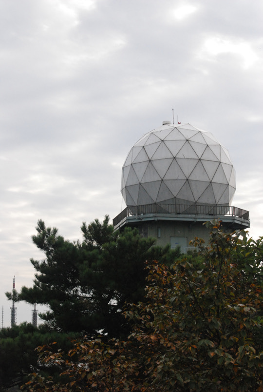
The Korea Meteorological Administration () (KMA) is the national meteorological service of the Republic of Korea. The service started in 1904 joining the WMO in 1956. Numerical Weather Prediction is performed using the Unified Model software suite. History The current Administration was established in 1990. Temporary observatories set up in 1904 in Busan, Incheon, Mokpo and elsewhere were precursors to the current KMA. The Central Meteorological Office (CMO) was established in August 1949. In April 1978, CMO was renamed the Korea Meteorological Service(KMS). In 1999, the Administration introduced a meteorological supercomputer for forecasting. As of November 2021, supercomputers ''Guru'' and ''Maru'' ranked 27th and 28th respectively in the world. In 2010, the KMA launched South Korea’s first geostationary meteorological satellite, the Communication, Ocean and Meteorological Satellite (COMS), also known as Chollian. Chollian started its official operation in 2011. The Seoul an ... [...More Info...] [...Related Items...] OR: [Wikipedia] [Google] [Baidu] |


