|
Bushell Park
Bushell Park is an unincorporated community in Saskatchewan. It is located on Saskatchewan Highway 2, approximately south of Moose Jaw. It is a part of 15 Wing CFB Moose Jaw, home of the Snowbirds Canadian flight demonstration team and 2 Canadian Forces Flight Training School, where Phase II Canadian Forces pilot training is conducted. History The community was organized in 1952 to provide housing for staff and students at the nearby air force base. The community was formally opened on September 19, 1952 by Sybil Bushell of Fort Qu'Appelle Fort Qu'Appelle is a town in Canadian province of Saskatchewan located in the Qu'Appelle River valley north-east of Regina, between Echo and Mission Lakes of the Fishing Lakes. It is not to be confused with the once-significant nearby t .... The community was named for his son, Christopher Bushell, who was killed in action during World War II. Bushell Park provides residence for military members and their families residing in ... [...More Info...] [...Related Items...] OR: [Wikipedia] [Google] [Baidu] |
Saskatchewan
Saskatchewan ( ; ) is a Provinces and territories of Canada, province in Western Canada, western Canada, bordered on the west by Alberta, on the north by the Northwest Territories, on the east by Manitoba, to the northeast by Nunavut, and on the south by the United States, U.S. states of Montana and North Dakota. Saskatchewan and Alberta are the only landlocked provinces of Canada. In 2022, Saskatchewan's population was estimated at 1,205,119. Nearly 10% of Saskatchewan’s total area of is fresh water, mostly rivers, reservoirs and List of lakes in Saskatchewan, lakes. Residents primarily live in the southern prairie half of the province, while the northern half is mostly forested and sparsely populated. Roughly half live in the province's largest city Saskatoon or the provincial capital Regina, Saskatchewan, Regina. Other notable cities include Prince Albert, Saskatchewan, Prince Albert, Moose Jaw, Yorkton, Swift Current, North Battleford, Melfort, Saskatchewan, Melfort, and ... [...More Info...] [...Related Items...] OR: [Wikipedia] [Google] [Baidu] |
Unincorporated Area
An unincorporated area is a region that is not governed by a local municipal corporation. Widespread unincorporated communities and areas are a distinguishing feature of the United States and Canada. Most other countries of the world either have no unincorporated areas at all or these are very rare: typically remote, outlying, sparsely populated or List of uninhabited regions, uninhabited areas. By country Argentina In Argentina, the provinces of Chubut Province, Chubut, Córdoba Province (Argentina), Córdoba, Entre Ríos Province, Entre Ríos, Formosa Province, Formosa, Neuquén Province, Neuquén, Río Negro Province, Río Negro, San Luis Province, San Luis, Santa Cruz Province, Argentina, Santa Cruz, Santiago del Estero Province, Santiago del Estero, Tierra del Fuego Province, Argentina, Tierra del Fuego, and Tucumán Province, Tucumán have areas that are outside any municipality or commune. Australia Unlike many other countries, Australia has only local government in Aus ... [...More Info...] [...Related Items...] OR: [Wikipedia] [Google] [Baidu] |
Saskatchewan Highway 2
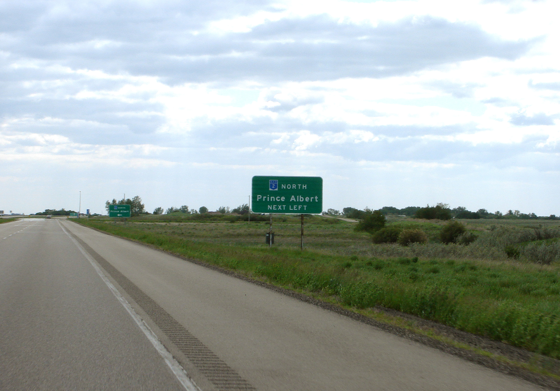
Highway 2 is a provincial highway in the Canadian province of Saskatchewan. It is the longest highway in Saskatchewan at 809 km (503 mi). The highway is partially divided and undivided. However, only about near Moose Jaw, near Chamberlain, and near Prince Albert are divided highway. Highway 2 is a major north-south route beginning at the Canada–US border at the Port of West Poplar River and Opheim, Montana customs checkpoints. Montana Highway 24 continues south. It passes through the major cities of Moose Jaw in the south and Prince Albert in the north. Highway 2 overlaps Highway 11 between the towns of Chamberlain and Findlater. This section of road is a wrong-way concurrency. The highway ends at La Ronge, where it becomes Highway 102. The highway started as a graded road in the 1920s which followed the grid lines of the early survey system and was maintained by early homesteaders of each rural municipality. Paving projects of the 1950s created all weather ... [...More Info...] [...Related Items...] OR: [Wikipedia] [Google] [Baidu] |
Moose Jaw, Saskatchewan
Moose Jaw is the fourth largest city in Saskatchewan, Canada. Lying on the Moose Jaw River in the south-central part of the province, it is situated on the Trans-Canada Highway, west of Regina, Saskatchewan, Regina. Residents of Moose Jaw are known as Moose Javians. The city is surrounded by the Moose Jaw No. 161, Saskatchewan, Rural Municipality of Moose Jaw No. 161. Moose Jaw is an industrial centre and important railway junction for the area's agricultural produce. CFB Moose Jaw is a NATO flight training school, and is home to the Snowbirds, Canada's military aerobatic air show flight demonstration team. Moose Jaw also has a Casino Moose Jaw, casino and Temple Gardens Mineral Hell Resort, geothermal spa. History Cree and Assiniboine people used the Moose Jaw area as a winter encampment. The Missouri Coteau sheltered the valley and gave it warm breezes. The narrow river crossing and abundance of water and game made it a good location for settlement. Traditional native fur tr ... [...More Info...] [...Related Items...] OR: [Wikipedia] [Google] [Baidu] |
CFB Moose Jaw
Canadian Forces Base Moose Jaw , also known as 15 Wing Moose Jaw, is a Canadian Forces base located south of Moose Jaw, Saskatchewan. It is operated as an air force base by the Royal Canadian Air Force (RCAF) and is home to RCAF Pilot training and 431 Squadron, the Snowbirds, which is the RCAF's air demonstration squadron. The base's airfield is named after Air Vice-Marshal Clifford McEwen and is one of only three military aerodromes in Canada to be named after an individual, Valcartier (W/C J.H.L. (Joe) Lecomte) Heliport and Cold Lake/Group Captain R.W. McNair Airport being the others. The airport is classified as an airport of entry by Nav Canada and is staffed by the Canada Border Services Agency (CBSA). The customs service is restricted to 15 Wing – Moose Jaw aircraft only. History A civilian flying club aerodrome was established on the site south-southwest of Moose Jaw in 1928 by the Moose Jaw Flying Club. Its location surrounded by flat open prairie proved to ... [...More Info...] [...Related Items...] OR: [Wikipedia] [Google] [Baidu] |
Snowbirds (aerobatic Team)
The Snowbirds, officially known as 431 Air Demonstration Squadron (french: 431e Escadron de démonstration aérienne, links=no), are the military aerobatics flight demonstration team of the Royal Canadian Air Force. The team is based at 15 Wing Moose Jaw near Moose Jaw, Saskatchewan. The Snowbirds' official purpose is to "demonstrate the skill, professionalism, and teamwork of Canadian Forces personnel".Dempsey 2002, p. 567. The team also provides a public relations and recruiting role, and serves as an aerial ambassador for the Canadian Armed Forces. The Snowbirds are the first Canadian air demonstration team to be designated as a squadron. The show team flies 11 CT-114 Tutors: nine for aerobatic performances, including two solo aircraft, and two spares, flown by the team coordinators. Additionally, 13 are maintained in storage. Approximately 80 Canadian Forces personnel work with the squadron full-time; 24 personnel are in the show team that travels during the show season. T ... [...More Info...] [...Related Items...] OR: [Wikipedia] [Google] [Baidu] |
Fort Qu'Appelle
Fort Qu'Appelle is a town in Canadian province of Saskatchewan located in the Qu'Appelle River valley north-east of Regina, between Echo and Mission Lakes of the Fishing Lakes. It is not to be confused with the once-significant nearby town of Qu'Appelle. It was originally established in 1864 as a Hudson's Bay Company trading post. Fort Qu'Appelle, with its 1,919 residents in 2006, is at the junction of Highway 35, Highway 10, Highway 22, Highway 56, and Highway 215. The 1897 Hudson's Bay Company store, 1911 Grand Trunk Pacific Railway station, Fort Qu'Appelle Sanatorium ( Fort San), and the Treaty 4 Governance Centre in the shape of a teepee are all landmarks of this community. Additionally, the Noel Pinay sculpture of a man praying commemorates a burial ground, is a life-sized statue in a park beside Segwun Avenue. Demographics In the 2021 Census of Population conducted by Statistics Canada, Fort Qu'Appelle had a population of living in of its total private ... [...More Info...] [...Related Items...] OR: [Wikipedia] [Google] [Baidu] |
Mortlach, Saskatchewan
Mortlach () is a village in the Canadian province of Saskatchewan within the Rural Municipality of Wheatlands No. 163 and Census Division No. 7. The village is on the Trans Canada Highway about 40 km west of the City of Moose Jaw. Thunder Creek (one of the rivers that flows into Moose Jaw) passes the community to the north where it is joined by Sandy Creek. Mortlach became a village on April 19, 1906, and is one of two towns in Saskatchewan to have been incorporated as a town (April 1, 1913) to then be reverted to village status on January 1, 1949; the other is the village of Alsask. Demographics In the 2021 Census of Population conducted by Statistics Canada, Mortlach had a population of living in of its total private dwellings, a change of from its 2016 population of . With a land area of , it had a population density of in 2021. In the 2016 Census of Population, the Village of Mortlach recorded a population of living in of its total private dwellings, a cha ... [...More Info...] [...Related Items...] OR: [Wikipedia] [Google] [Baidu] |
Belle Plain, Saskatchewan
Belle Plaine ( 2016 population: ) is a village in the Canadian province of Saskatchewan within the Rural Municipality of Pense No. 160 and Census Division No. 6. Belle Plaine is located on Highway 1 (also known as the Trans Canada Highway), 21 kilometres east of the City of Moose Jaw in south-central Saskatchewan. Buffalo Pound Provincial Park and Regina Beach are located near Belle Plaine. History Belle Plaine incorporated as a village on August 12, 1910. Demographics In the 2021 Census of Population conducted by Statistics Canada, Belle Plaine had a population of living in of its total private dwellings, a change of from its 2016 population of . With a land area of , it had a population density of in 2021. In the 2016 Census of Population, the Village of Belle Plaine recorded a population of living in of its total private dwellings, a change from its 2011 population of . With a land area of , it had a population density of in 2016. Business * Mosaic Potas ... [...More Info...] [...Related Items...] OR: [Wikipedia] [Google] [Baidu] |
Chaplin, Saskatchewan
Chaplin ( 2016 population: ) is a village in the Canadian province of Saskatchewan within the Rural Municipality of Chaplin No. 164 and Census Division No. 7. The community is situated on the Trans-Canada Highway approximately 85 km from Moose Jaw and 90 km from Swift Current. The main industries of Chaplin are Saskatchewan Minerals and farming/ranching. Chaplin consists of eight streets, two crescents, and four avenues (including the avenue on the 'other side of the (train) tracks'). History Chaplin incorporated as a village on October 8, 1912. Geography Chaplin is situated on the Trans-Canada Highway between Moose Jaw and Swift Current, and on the north edge of Chaplin Lake. The lake encompasses nearly . Demographics In the 2021 Census of Population conducted by Statistics Canada, Chaplin had a population of living in of its total private dwellings, a change of from its 2016 population of . With a land area of , it had a population density of in 20 ... [...More Info...] [...Related Items...] OR: [Wikipedia] [Google] [Baidu] |
Old Wives, Saskatchewan
Old Wives is an unincorporated community in the Rural Municipality of Hillsborough No. 132, Saskatchewan, Canada. History The village that became Old Wives was formed about 1900, but it was not until 1929 that the community officially got the name. Mail delivery began 1911, when Tom Lundrigan began bringing in the mail from the post office in Mortlach. Eventually, a post office was open January 1, 1912, and remained open until it closed on October 10, 1969. The area was home to several schools, with the first opening in 1916. Bay Island School, officially Bay Island School District #4362, was a one-room school on Highway 363 just east of Old Wives, which served the community from 1919 to 1950. The building still stands today. The first general store in town opened in Mr. Bill Sheldon’s house in 1920. In 1930 a new store was built at the town site and it would operate for nearly 40 years, before closing in 1968. In 1931 the CPR laid tracks from Archive to Shamrock and in 1 ... [...More Info...] [...Related Items...] OR: [Wikipedia] [Google] [Baidu] |


