|
Bundesstraße 455
Bundesstraße 455 (abbreviated B-455) is a German ''Bundesstraße'' (German for "federal highway") in the federal state of Hesse. The route runs southwest from Schotten in Vogelsbergkreis to Mainz-Kastel, a borough of the Hessian capital city of Wiesbaden. Route Bundesstraße 455 begins in Schotten in Vogelsbergkreis. The road continues through the Wetteraukreis, including the municipalities of Nidda, Wölfersheim, Friedberg and Rosbach vor der Höhe. Route 455 merges with Bundesautobahn 5 (A-5) at the Friedberg exit and follows this autobahn to the Bad Homburg interchange. It then follows Bundesautobahn 661 (A-661) to its source in Oberursel-Nord. Bundesstraße 455 originally went through Bad Homburg vor der Höhe and Friedrichsdorf. These parts of the route were replaced by the A-5 and A-661 sections, and the original highway has now been downgraded to a state road (''Landesstraße''). Nevertheless, the signs on B-455 from Königstein as well as from Friedberg continue to re ... [...More Info...] [...Related Items...] OR: [Wikipedia] [Google] [Baidu] |
Schotten
Schotten is a town in the middle of Hesse, Germany. Larger towns nearby include Alsfeld in the north, Fulda in the east, Friedberg in the south and Gießen in the west. Geography Location The officially recognised climatic spa lies between 168 m and 773 m above sea level on the western slope of the Vogelsberg Mountains. Nearby are Hoherodskopf (764 m) and Taufstein (773 m), the two highest peaks in the High Vogelsberg Nature Park. Schotten is a tourist town thanks to reliably high snowfall in the winter and hiking opportunities in the summer in the extensive forests. Watersports are also possible on the Nidda Reservoir. In the outermost northwestern municipal area is the source of the river Nidda, a favourite destination for hikers. Neighbouring communities Schotten borders in the north on the town of Ulrichstein, in the northeast on the town of Herbstein, in the east on the community of Grebenhain, in the south on the town of Gedern and the community of Hirzenhain (b ... [...More Info...] [...Related Items...] OR: [Wikipedia] [Google] [Baidu] |
Wetteraukreis
The Wetteraukreis is a ''Kreis'' (district) in the middle of Hesse, Germany. Neighbouring districts are Landkreis Gießen, Vogelsbergkreis, Main-Kinzig-Kreis, district-free Stadt Frankfurt, Hochtaunuskreis and Lahn-Dill-Kreis. History The district was created in 1972 when the two districts Friedberg and Büdingen were merged. Geography The district is located between the Taunus mountains and the Vogelsberg volcanic mountain. The main rivers of the district are the Nidda River The Nidda is a right tributary of the river Main in Hesse. It springs from the Vogelsberg on the Taufstein mountain range near the town of Schotten, flows through the Niddastausee dam, and the towns of Nidda, Niddatal, Karben, and Bad Vilbe ... and the Wetter River. Coat of arms The imperial eagle in the top of the coat of arms was chosen because the Wetterau was imperial possession in the past. The bars in the bottom derive from the lords of Isenburg-Büdingen, who owned most of the area. The wav ... [...More Info...] [...Related Items...] OR: [Wikipedia] [Google] [Baidu] |
Main-Taunus-Kreis
Main-Taunus is a Kreis (district) in the middle of Hessen, Germany and is part of the Frankfurt/Rhine-Main Metropolitan Region as well as the Frankfurt urban area. Neighboring districts are Hochtaunuskreis, district-free Frankfurt, Groß-Gerau, district-free Wiesbaden, Rheingau-Taunus. It is the second most densely populated rural district in Germany. History Before the era of Napoleon, the area was divided into many small bits and pieces of independent states. The most prominent of these were the Archbishopric of Mainz and the territory ruled by the Lords of Eppstein, who were later succeeded by the Landgraves of Hesse-Darmstadt. In 1806 the area became united for the first time as part of the Duchy of Nassau, which was annexed to Prussia in 1866. In 1928 the Main-Taunus district was formed when the cities of Wiesbaden and Frankfurt annexed adjoining areas, leaving the remaining unincorporated areas in the former districts of Wiesbaden and Höchst too small to survive on ... [...More Info...] [...Related Items...] OR: [Wikipedia] [Google] [Baidu] |
Oberursel (Taunus)
Oberursel (Taunus) () is a town in Germany and part of the Frankfurt Rhein-Main urban area. It is located to the north west of Frankfurt, in the Hochtaunuskreis county. It is the 13th largest town in Hesse. In 2011, the town hosted the 51st Hessentag state festival. Geography Extent of municipal area The maximum distance from the northern town border to the southern border is the maximum distance from east to west is . Altitude *Krebsmühle (Weißkirchen): 138 m above sea level *Town Hall: 198 m above sea level *Hohemark: 300 m above sea level *The nearly Grosse Feldberg is the highest spot in the Taunus: 820 m above sea level Neighbouring communities To the north Oberursel borders with Schmitten, to the east with Bad Homburg vor der Höhe, to the south-east with Frankfurt, to the southwest with Steinbach and to the west with Kronberg. Town districts Besides the town centre (including Bommersheim), Oberursel is divided into the districts Oberstedten (population 6,118), S ... [...More Info...] [...Related Items...] OR: [Wikipedia] [Google] [Baidu] |
Hochtaunuskreis
The Hochtaunuskreis is a ''Kreis'' (district) in the middle of Hesse, Germany and is part of the Frankfurt/Rhine-Main Metropolitan Region. Neighbouring districts are Lahn-Dill, Wetteraukreis, district-free Frankfurt, Main-Taunus, Rheingau-Taunus, Limburg-Weilburg. The Hochtaunuskreis and the Landkreis Starnberg regularly compete for the title of the wealthiest district in Germany. History The district was created in 1972 when the previous districts Obertaunus and Usingen were merged. Geography Geographically it covers the Taunus mountains. The highest elevation of the Taunus, the 881 meter high Großer Feldberg, is in the district. Lowest elevation of the district with 130m is the village ''Ober Erlenbach''. The wealthy towns in the district's densely populated southern part belong to the Frankfurt urban area. Coat of arms The coat of arms is a dimidiation of the arms of the Obertaunus district in the left half and the Usingen district in the right half. It shows a lion, the ... [...More Info...] [...Related Items...] OR: [Wikipedia] [Google] [Baidu] |
Friedberg (Hessen)
Friedberg (; official name: ''Friedberg (Hessen)'') is a town and the capital of the Wetteraukreis district, in Hesse, Germany. It is located 26 km (16 miles) north of Frankfurt am Main. In 1966, the town hosted the sixth ''Hessentag'' state festival, in 1979 the 19th. Division of the town The town consists of 7 districts: * Bruchenbrücken * Friedberg * Dorheim * Ockstadt * Bauernheim * Fauerbach * Ossenheim History The old city was refounded by the Hohenstaufen dynasty of the Holy Roman Empire, conveniently located at important trading routes. The city initially rivaled Frankfurt am Main economically, with an important annual trading fair, and initial rapid expansion, though its economic fortunes soon dwindled. City tranquility was hampered by continuous rivalry between the two entities that made up Friedberg: The city and the castle of Friedberg that were politically independent from each other and in permanent competition, often quite maliciously, resulting in bitter rivalr ... [...More Info...] [...Related Items...] OR: [Wikipedia] [Google] [Baidu] |
Hessen
Hesse (, , ) or Hessia (, ; german: Hessen ), officially the State of Hessen (german: links=no, Land Hessen), is a state in Germany. Its capital city is Wiesbaden, and the largest urban area is Frankfurt. Two other major historic cities are Darmstadt and Kassel. With an area of 21,114.73 square kilometers and a population of just over six million, it ranks seventh and fifth, respectively, among the sixteen German states. Frankfurt Rhine-Main, Germany's second-largest metropolitan area (after Rhine-Ruhr), is mainly located in Hesse. As a cultural region, Hesse also includes the area known as Rhenish Hesse (Rheinhessen) in the neighbouring state of Rhineland-Palatinate. Name The German name ''Hessen'', like the names of other German regions (''Schwaben'' "Swabia", ''Franken'' "Franconia", ''Bayern'' "Bavaria", ''Sachsen'' "Saxony"), derives from the dative plural form of the name of the inhabitants or eponymous tribe, the Hessians (''Hessen'', singular ''Hesse''). The geograph ... [...More Info...] [...Related Items...] OR: [Wikipedia] [Google] [Baidu] |
Theodor Heuss Bridge (Mainz-Wiesbaden)
The Theodor Heuss Bridge is an arch bridge over the Rhine River connecting the Mainz-Kastel district of Wiesbaden, capital of state Hesse and the Rhineland-Palatinate state capital Mainz. The main span of the bridge is long. It connects the Bundesstraßes 40 and 455. Initially it was just called “Straßenbrücke” (street bridge), later it was named after German statesman Theodor Heuss. The Romans had built a bridge in this region in 27 AD, while the first arch bridge was inaugurated on 30 May 1885. Its construction costs of 3.6 million gold marks were recouped through tolls within three years although tolls continued to be levied until 1912. The bridge was widened from 1931 to 1934 but was destroyed on 17 March 1945 by German military engineers at the end of the second World War. To forestall a second Remagen, the Germans by 19 March had blown all Rhine bridges from Ludwigshafen northward. It was rebuilt in the years 1948 to 1950 and partially reconstructed between 1992 and ... [...More Info...] [...Related Items...] OR: [Wikipedia] [Google] [Baidu] |
Rhine
), Surselva, Graubünden, Switzerland , source1_coordinates= , source1_elevation = , source2 = Rein Posteriur/Hinterrhein , source2_location = Paradies Glacier, Graubünden, Switzerland , source2_coordinates= , source2_elevation = , source_confluence = Reichenau , source_confluence_location = Tamins, Graubünden, Switzerland , source_confluence_coordinates= , source_confluence_elevation = , mouth = North Sea , mouth_location = Netherlands , mouth_coordinates = , mouth_elevation = , progression = , river_system = , basin_size = , tributaries_left = , tributaries_right = , custom_label = , custom_data = , extra = The Rhine ; french: Rhin ; nl, Rijn ; wa, Rén ; li, Rien; rm, label= Sursilvan, Rein, rm, label= Sutsilvan and Surmiran, Ragn, rm, label=Rumantsch Grischun, Vallader and Puter, Rain; it, Reno ; gsw, Rhi(n), inclu ... [...More Info...] [...Related Items...] OR: [Wikipedia] [Google] [Baidu] |
Bundesautobahn 3
is an autobahn in Germany running from the Germany-Netherlands border near Wesel in the northwest to the Germany-Austria border near Passau. Major cities along its total length of 778 km (483 mi) include Oberhausen, Duisburg, Düsseldorf, Leverkusen, Cologne, Wiesbaden, Frankfurt, Würzburg, Nuremberg and Regensburg. The A 3 is a major connection between the Rhine-Ruhr area and southern Germany, resulting in heavy traffic. Consequently, large parts have three lanes (plus a hard shoulder) in each direction, including a 300 km (187.5 mi) section between Oberhausen and Aschaffenburg. The A3 passes by the Frankfurt Airport. Overview The A 3 begins at the border crossing Elten in North Rhine-Westphalia as a four-lane continuation of the Dutch A 12. Until Oberhausen the highway runs on the right bank of the Lower Rhine past the cities Emmerich, Wesel and Dinslaken and reaches the Ruhrgebiet. Beginning at the ''Kreuz Oberhausen'' with A 516 and A 2, the A ... [...More Info...] [...Related Items...] OR: [Wikipedia] [Google] [Baidu] |
Kreisstraße
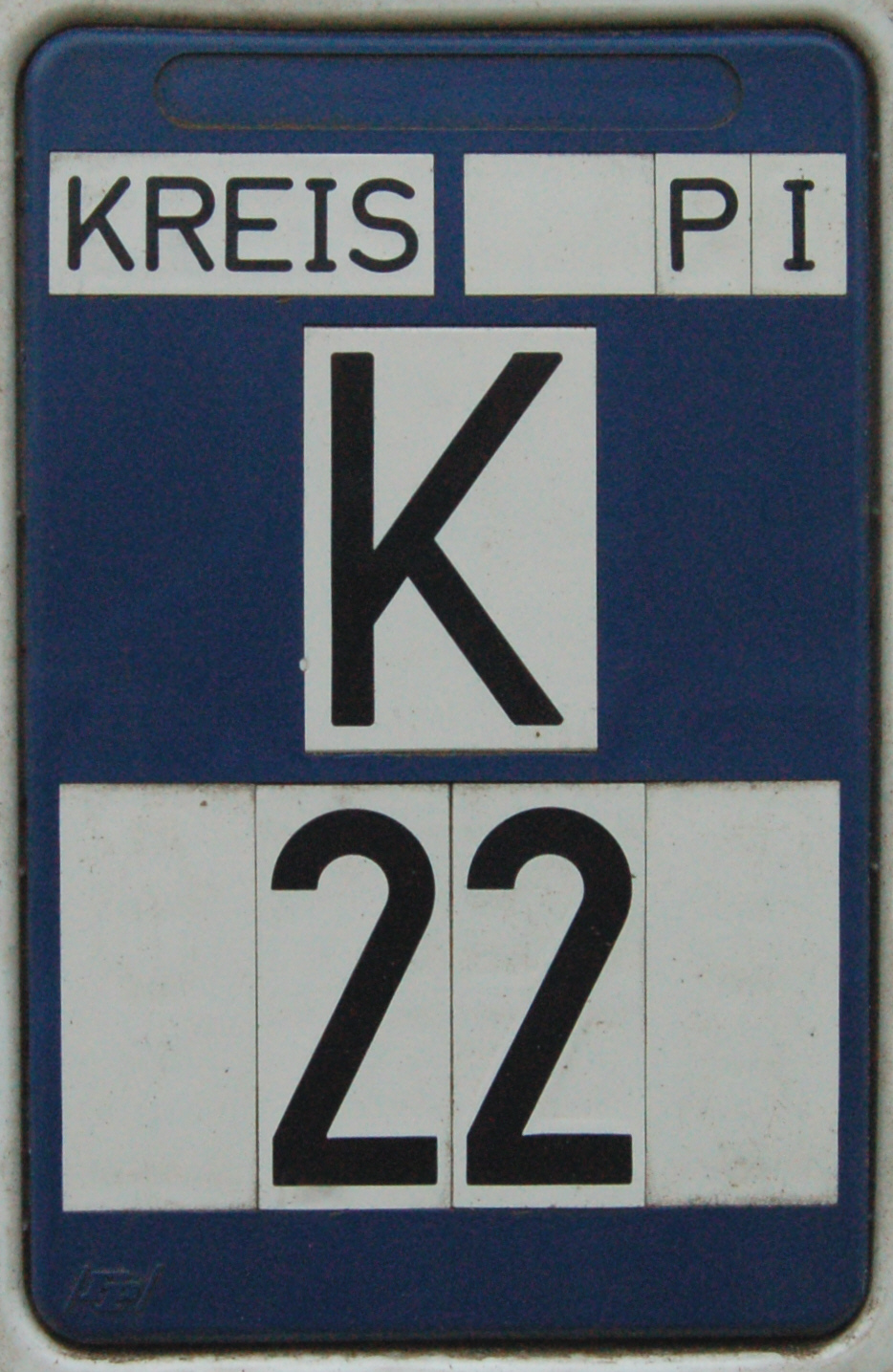
A Kreisstraße (literally: "district road" or "county road") is a class of road in Germany. It carries traffic between the towns and villages within a '' Kreis'' or district or between two neighbouring districts. In importance, the ''Kreisstraße'' ranks below a ''Landesstraße'' (or, in Bavaria and Saxony, a ''Staatstraße'', i.e. a state road), but above a ''Gemeindestraße'' or "local road". ''Kreisstraßen'' are usually the responsibility of the respective rural district (''Landkreis'') or urban district (''Kreisfreie Stadt''), with the exception of high streets through larger towns and villages. Kreisstraßen are usually dual-lane roads but, in a few cases, can be built as limited-access dual carriageways in densely populated areas. Numbering Unlike local roads (''Gemeindestraßen'') the ''Kreisstraßen'' are invariably numbered, but their numbering is not shown on signs. The abbreviation is a prefixed capital letter K followed by a serial number. In most states the car n ... [...More Info...] [...Related Items...] OR: [Wikipedia] [Google] [Baidu] |
Landesstraße
''Landesstraßen'' (singular: ''Landesstraße'') are roads in Germany and Austria that are, as a rule, the responsibility of the respective German or Austrian federal state. The term may therefore be translated as "state road". They are roads that cross the boundary of a rural or urban district (''Landkreis'' or ''Kreisfreie Stadt''). A ''Landesstraße'' is thus less important than a ''Bundesstraße'' or federal road, but more significant than a ''Kreisstraße'' or district road. The classification of a road as a ''Landesstraße'' is a legal matter (''Widmung''). In the free states of Bavaria and Saxony – but not, however, in the Free State of Thuringia – ''Landesstraßen'' are known as ''Staatsstraßen''. Designation The abbreviation for a ''Landesstraße'' consists of a prefixed capital letter ''L'' and a serial number (e. g. L 1, L 83, L 262 or L 3190). ''Staatsstraßen'' in Saxony are similarly abbreviated using a capital ''S'' (e. g. S 190) and the ''Staatsstraßen' ... [...More Info...] [...Related Items...] OR: [Wikipedia] [Google] [Baidu] |


.png)


