|
Bryngwyn Halt Railway Station
Bryngwyn Halt railway station is a disused station that was on the Llanfyllin Branch of the Cambrian Railways. It served the villages of Bwlch-y-cibau and Brynderwen between 1863 and 1965. History The Llanfyllin Branch of the Cambrian Railways opened on 17 July 1863. The station was originally named ''Brongwyn''; it was later renamed ''Bryngwyn''. It was from Llanymynech, and took its name from Bryngwyn Hall. In 1866, there was one train on Tuesdays and one on Wednesdays. Originally provided with a wooden shelter, this was later replaced by one of corrugated iron. The platform was situated on an embankment on the west side of the Llanfechain road over bridge with step access to the road. In 1923, the Great Western Railway renamed the station ''Bryngwyn Halt''. It was closed by British Railways British Railways (BR), which from 1965 traded as British Rail, was a state-owned company that operated most of the overground rail transport in Great Britain from 1948 to 199 ... [...More Info...] [...Related Items...] OR: [Wikipedia] [Google] [Baidu] |
Bryngwyn Railway Station
Bryngwyn railway station is a former station which was the terminus for passengers on the Bryngwyn Branch of the North Wales Narrow Gauge Railways, and later the Welsh Highland Railway. Beyond the station, an incline climbed the slope of Moel Tryfan to serve a series of slate quarries. Those connected by tramways to the incline head included the Alexandra quarry, Moel Tryfan quarry, Fron quarry, Braich quarry and Cilgwyn quarry. History At Bryngwyn a 1 in 10 balanced incline owned by the Welsh Highland Railway led to an upper plateau from where quarry owned lines radiated to several slate quarries in the Moel Tryfan and Nantlle area. Although slate traffic continued as required until final closure in 1936, passenger trains ceased to operate on the branch in 1914. There is very little left of the original Bryngwyn station today, which would have stood in the middle of fields near a farm where the station takes its name. The station consisted of a typical North Wales Narrow Gau ... [...More Info...] [...Related Items...] OR: [Wikipedia] [Google] [Baidu] |
Welsh Highland Railway
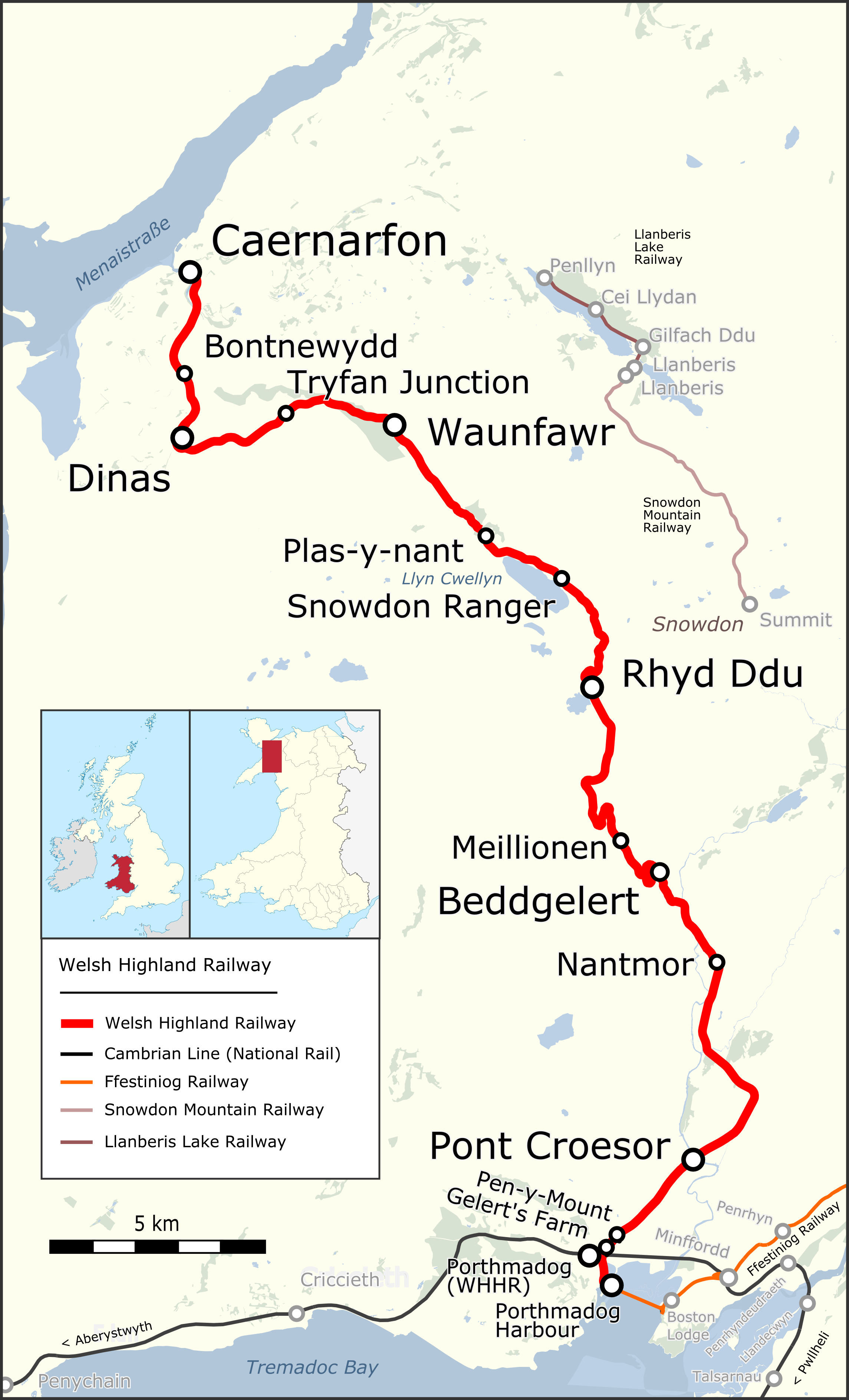
The Welsh Highland Railway (WHR) or Rheilffordd Eryri is a long, restored narrow gauge heritage railway in the Welsh county of Gwynedd, operating from Caernarfon to Porthmadog, and passing through a number of popular tourist destinations including Beddgelert and the Aberglaslyn Pass. At Porthmadog it connects with the Ffestiniog Railway and to the short Welsh Highland Heritage Railway. In Porthmadog it uses the United Kingdom's only mixed gauge flat rail crossing. The restoration, which had the civil engineering mainly built by contractors and the track mainly built by volunteers, received a number of awards. Originally running from , near Caernarfon, to ,Boyd (1972), pages=283 the current line includes an additional section from Dinas to Caernarfon. The original line also had a branch to and the slate quarries around Moel Tryfan, which has not been restored. (This branch forms a footpath "rail trail", the lower section of which has been resurfaced and supplied with heri ... [...More Info...] [...Related Items...] OR: [Wikipedia] [Google] [Baidu] |
Bwlch-y-cibau
Bwlch-y-Cibau also known as the "pass of the husks" in English, is a small village located between Llanfyllin and Welshpool. It is situated on the A490. It is in the Community (Wales), community of Meifod. Amenities The village is very rural with only a public house, a church and a former school house. Transport The village also was served by the Llanfyllin Branch railway line which was situated on the B493 near Llanfechain. The stop was little more than a Bryngwyn Halt railway station, halt which was over a mile north of the village. It closed in 1965 along with the line. The nearest railway station is now Welshpool railway station, Welshpool. The village is also served by the bus no. 76 which connects the village to Llanfyllin and Welshpool although only runs five services both ways a day from Monday to Saturday including one additional to serve the nearby Llanfyllin High School. References {{authority control Villages in Powys ... [...More Info...] [...Related Items...] OR: [Wikipedia] [Google] [Baidu] |
Powys
Powys (; ) is a Local government in Wales#Principal areas, county and Preserved counties of Wales, preserved county in Wales. It is named after the Kingdom of Powys which was a Welsh succession of states, successor state, petty kingdom and principality that emerged during the Middle Ages following the end of Roman rule in Britain. Geography Powys covers the historic counties of Montgomeryshire and Radnorshire, most of Brecknockshire, and part of Denbighshire (historic), historic Denbighshire. With an area of about , it is now the largest administrative area in Wales by land and area (Dyfed was until 1996 before several Preserved counties of Wales, former counties created by the Local Government Act 1972 were abolished). It is bounded to the north by Gwynedd, Denbighshire and Wrexham County Borough; to the west by Ceredigion and Carmarthenshire; to the east by Shropshire and Herefordshire; and to the south by Rhondda Cynon Taf, Merthyr Tydfil County Borough, Caerphilly County Bor ... [...More Info...] [...Related Items...] OR: [Wikipedia] [Google] [Baidu] |
Ordnance Survey National Grid
The Ordnance Survey National Grid reference system (OSGB) (also known as British National Grid (BNG)) is a system of geographic grid references used in Great Britain, distinct from latitude and longitude. The Ordnance Survey (OS) devised the national grid reference system, and it is heavily used in their survey data, and in maps based on those surveys, whether published by the Ordnance Survey or by commercial map producers. Grid references are also commonly quoted in other publications and data sources, such as guide books and government planning documents. A number of different systems exist that can provide grid references for locations within the British Isles: this article describes the system created solely for Great Britain and its outlying islands (including the Isle of Man); the Irish grid reference system was a similar system created by the Ordnance Survey of Ireland and the Ordnance Survey of Northern Ireland for the island of Ireland. The Universal Transverse Merca ... [...More Info...] [...Related Items...] OR: [Wikipedia] [Google] [Baidu] |
Cambrian Railways
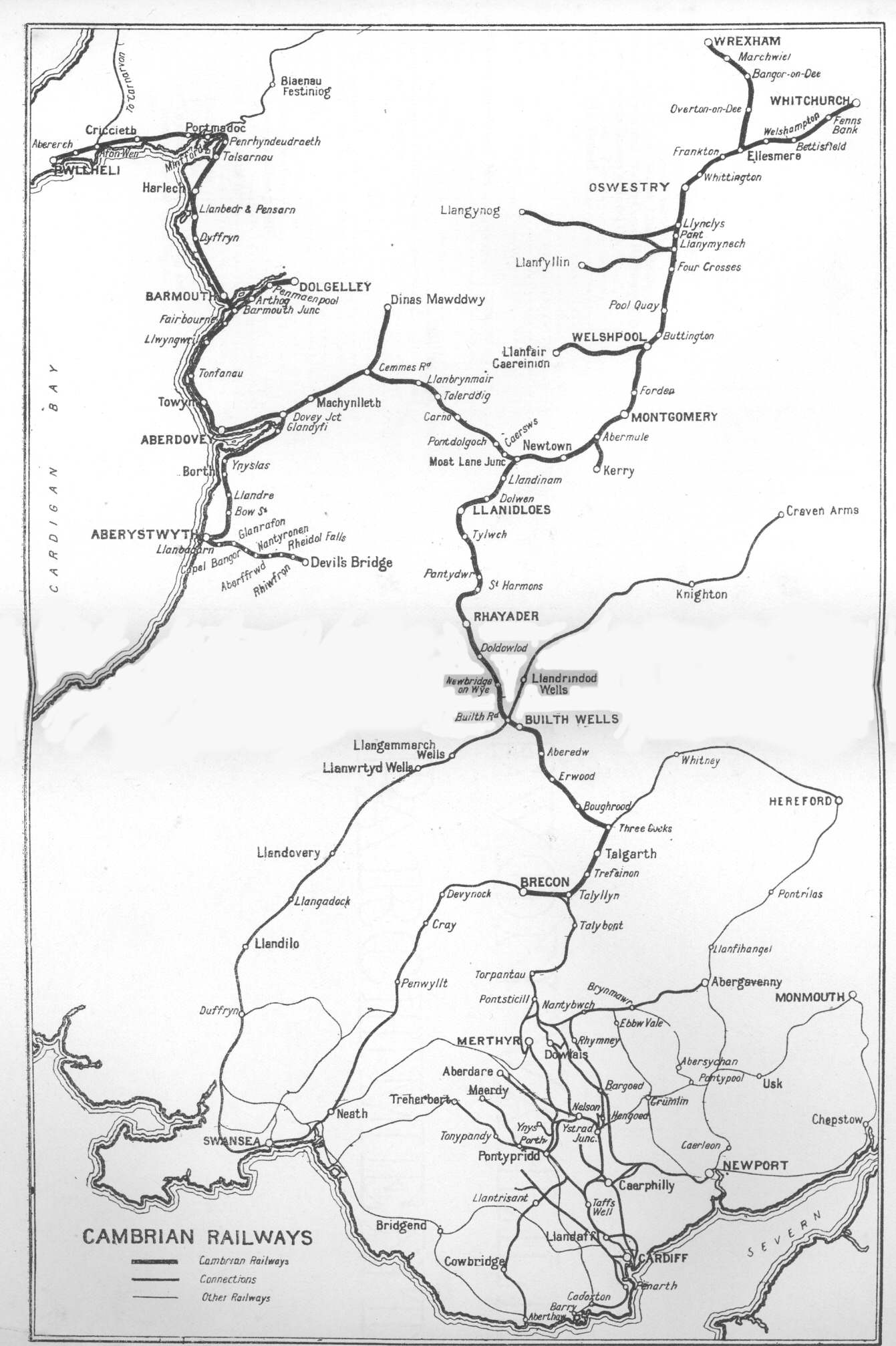
The Cambrian Railways owned of track over a large area of mid Wales. The system was an amalgamation of a number of railways that were incorporated in 1864, 1865 and 1904. The Cambrian connected with two larger railways with connections to the northwest of England via the London and North Western Railway, and the Great Western Railway for connections between London and Wales. The Cambrian Railways amalgamated with the Great Western Railway on 1 January 1922 as a result of the Railways Act 1921. The name is continued today in the route known as the Cambrian Line. History Creation of the Cambrian Railways: 1864 The Cambrian Railways Company was created on 25 July 1864 when the Cambrian Railways Act of Parliament received Royal Assent. The company was formed by amalgamating most of the railway companies in mid Wales: the Oswestry and Newtown Railway, the Llanidloes and Newtown Railway, the Newtown and Machynlleth Railway and the Oswestry, Ellesmere and Whitchurch Railway. ... [...More Info...] [...Related Items...] OR: [Wikipedia] [Google] [Baidu] |
Great Western Railway
The Great Western Railway (GWR) was a British railway company that linked London with the southwest, west and West Midlands of England and most of Wales. It was founded in 1833, received its enabling Act of Parliament on 31 August 1835 and ran its first trains in 1838 with the initial route completed between London and Bristol in 1841. It was engineered by Isambard Kingdom Brunel, who chose a broad gauge of —later slightly widened to —but, from 1854, a series of amalgamations saw it also operate standard-gauge trains; the last broad-gauge services were operated in 1892. The GWR was the only company to keep its identity through the Railways Act 1921, which amalgamated it with the remaining independent railways within its territory, and it was finally merged at the end of 1947 when it was nationalised and became the Western Region of British Railways. The GWR was called by some "God's Wonderful Railway" and by others the "Great Way Round" but it was famed as the "Holiday ... [...More Info...] [...Related Items...] OR: [Wikipedia] [Google] [Baidu] |
Site Of The Halt In 2018
Site most often refers to: * Archaeological site * Campsite, a place used for overnight stay in an outdoor area * Construction site * Location, a point or an area on the Earth's surface or elsewhere * Website, a set of related web pages, typically with a common domain name It may also refer to: * Site, a National Register of Historic Places property type * SITE (originally known as ''Sculpture in the Environment''), an American architecture and design firm * Site (mathematics), a category C together with a Grothendieck topology on C * '' The Site'', a 1990s TV series that aired on MSNBC * SITE Intelligence Group, a for-profit organization tracking jihadist and white supremacist organizations * SITE Institute, a terrorism-tracking organization, precursor to the SITE Intelligence Group * Sindh Industrial and Trading Estate, a company in Sindh, Pakistan * SITE Centers, American commercial real estate company * SITE Town, a densely populated town in Karachi, Pakistan * S.I.T ... [...More Info...] [...Related Items...] OR: [Wikipedia] [Google] [Baidu] |
Bryngwyn Hall
Bryngwyn is a village and rural location in Monmouthshire, south east Wales. Location Bryngwyn is located two miles to the west of Raglan in Monmouthshire. History and amenities Bryngwyn is a rural areclose to Raglan Castle and with easy access to Abergavenny, Raglan, Usk and Monmouth. The village church is dedicated to St. Peter. Richard Crawley Richard Crawley (26 December 1840 – 30 March 1893) was a Welsh writer and academic, best known for his translation of Thucydides's ''History of the Peloponnesian War''. Life Crawley was born at a Bryngwyn rectory on 26 December 1840, the e ... was born here in 1840. External links Genuki info on the village* Villages in Monmouthshire {{Monmouthshire-geo-stub ... [...More Info...] [...Related Items...] OR: [Wikipedia] [Google] [Baidu] |
British Railways
British Railways (BR), which from 1965 traded as British Rail, was a state-owned company that operated most of the overground rail transport in Great Britain from 1948 to 1997. It was formed from the nationalisation of the Big Four British railway companies, and was privatised in stages between 1994 and 1997. Originally a trading brand of the Railway Executive of the British Transport Commission, it became an independent statutory corporation in January 1963, when it was formally renamed the British Railways Board. The period of nationalisation saw sweeping changes in the railway. A process of dieselisation and electrification took place, and by 1968 steam locomotives had been entirely replaced by diesel and electric traction, except for the Vale of Rheidol Railway (a narrow-gauge tourist line). Passengers replaced freight as the main source of business, and one-third of the network was closed by the Beeching cuts of the 1960s in an effort to reduce rail subsidies. On privatis ... [...More Info...] [...Related Items...] OR: [Wikipedia] [Google] [Baidu] |


.jpg)