|
Blore With Swinscoe
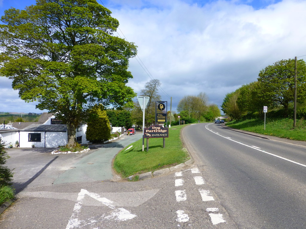
Blore with Swinscoe is a civil parish north-west of Ashbourne, in the Staffordshire Moorlands district of Staffordshire, England, on the edge of the Peak District National Park. According to the 2001 census, it had a population of 123, apparently declining to less than 100 according to the 2011 census. The parish includes Blore and Swinscoe Swinscoe is a small hamlet within the Staffordshire Moorlands in Staffordshire, England. Administratively, the hamlet is part of the civil parish of Blore with Swinscoe Blore with Swinscoe is a civil parish north-west of Ashbourne, Derbyshire, .... See also * Listed buildings in Blore with Swinscoe External links Villages in Staffordshire Staffordshire Moorlands {{Staffordshire-geo-stub ... [...More Info...] [...Related Items...] OR: [Wikipedia] [Google] [Baidu] |
Civil Parish
In England, a civil parish is a type of administrative parish used for local government. It is a territorial designation which is the lowest tier of local government below districts and counties, or their combined form, the unitary authority. Civil parishes can trace their origin to the ancient system of ecclesiastical parishes, which historically played a role in both secular and religious administration. Civil and religious parishes were formally differentiated in the 19th century and are now entirely separate. Civil parishes in their modern form came into being through the Local Government Act 1894, which established elected parish councils to take on the secular functions of the parish vestry. A civil parish can range in size from a sparsely populated rural area with fewer than a hundred inhabitants, to a large town with a population in the tens of thousands. This scope is similar to that of municipalities in Continental Europe, such as the communes of France. However, ... [...More Info...] [...Related Items...] OR: [Wikipedia] [Google] [Baidu] |
Ashbourne, Derbyshire
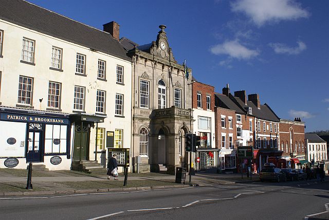
Ashbourne is a market town in the Derbyshire Dales district in Derbyshire, England. Its population was measured at 8,377 in the 2011 census and was estimated to have grown to 9,163 by 2019. It has many historical buildings and independent shops. The town offers a historic annual Shrovetide football match. Its position near the southern edge of the Peak District makes it the closest town to Dovedale, to which Ashbourne is sometimes referred to as the gateway. The town is west of Derby, south-east of Buxton, east of Stoke-on-Trent, south-south-east of Manchester, south-west of Sheffield and north of Lichfield. Nearby towns include Matlock, Uttoxeter, Leek, Cheadle and Bakewell. History The town's name derives from the Old English ''æsc-burna'' meaning "stream with ash trees". Ashbourne was granted a market charter in 1257. In medieval times it was a frequent rest stop for pilgrims walking "St Non's Way" to the shrine of Saint Fremund at Dunstable in Bedfordshire. T ... [...More Info...] [...Related Items...] OR: [Wikipedia] [Google] [Baidu] |
Staffordshire Moorlands
Staffordshire Moorlands is a Non-metropolitan district, local government district in Staffordshire, England. Its council, Staffordshire Moorlands District Council, is based in Leek, Staffordshire, Leek and is located between the city of Stoke-on-Trent and the Peak District National Park. The 2001 census recorded the population as 94,489. Principal industries are agriculture, fashion and tourism. The area's three towns are Leek, Cheadle, Staffordshire, Cheadle and Biddulph. Visitor attractions include the National Trust for Places of Historic Interest or Natural Beauty, National Trust property Biddulph Grange, the Churnet Valley Railway, the UK's largest theme park Alton Towers Resort, and the annual Leek Arts Festival. There are also a variety of outdoor pursuits such as rock climbing (The Roaches), sailing (Rudyard Lake) and cycling (Waterhouses, Staffordshire, Waterhouses). Governance The district was formed on 1 April 1974, under the Local Government Act 1972, as a merger of ... [...More Info...] [...Related Items...] OR: [Wikipedia] [Google] [Baidu] |
Staffordshire
Staffordshire (; postal abbreviation Staffs.) is a landlocked county in the West Midlands region of England. It borders Cheshire to the northwest, Derbyshire and Leicestershire to the east, Warwickshire to the southeast, the West Midlands County and Worcestershire to the south and Shropshire to the west. The largest settlement in Staffordshire is Stoke-on-Trent, which is administered as an independent unitary authority, separately from the rest of the county. Lichfield is a cathedral city. Other major settlements include Stafford, Burton upon Trent, Cannock, Newcastle-under-Lyme, Rugeley, Leek, and Tamworth. Other towns include Stone, Cheadle, Uttoxeter, Hednesford, Brewood, Burntwood/Chasetown, Kidsgrove, Eccleshall, Biddulph and the large villages of Penkridge, Wombourne, Perton, Kinver, Codsall, Tutbury, Alrewas, Barton-under-Needwood, Shenstone, Featherstone, Essington, Stretton and Abbots Bromley. Cannock Chase AONB is within the county as well as parts of the ... [...More Info...] [...Related Items...] OR: [Wikipedia] [Google] [Baidu] |
Peak District
The Peak District is an upland area in England at the southern end of the Pennines. Mostly in Derbyshire Derbyshire ( ) is a ceremonial county in the East Midlands, England. It includes much of the Peak District National Park, the southern end of the Pennine range of hills and part of the National Forest. It borders Greater Manchester to the nor ..., it extends into Cheshire, Greater Manchester, Staffordshire, West Yorkshire and South Yorkshire. It includes the Dark Peak, where moorland is found and the geology is dominated by gritstone, and the White Peak, a limestone area with valleys and gorges. The Dark Peak forms an arc on the north, east and west sides; the White Peak covers central and southern tracts. The historic Peak District extends beyond the National Park, which excludes major towns, quarries and industrial areas. It became the first of the national parks of England and Wales in 1951. Nearby Manchester, Stoke-on-Trent, Derby and Sheffield send millions of v ... [...More Info...] [...Related Items...] OR: [Wikipedia] [Google] [Baidu] |
Blore
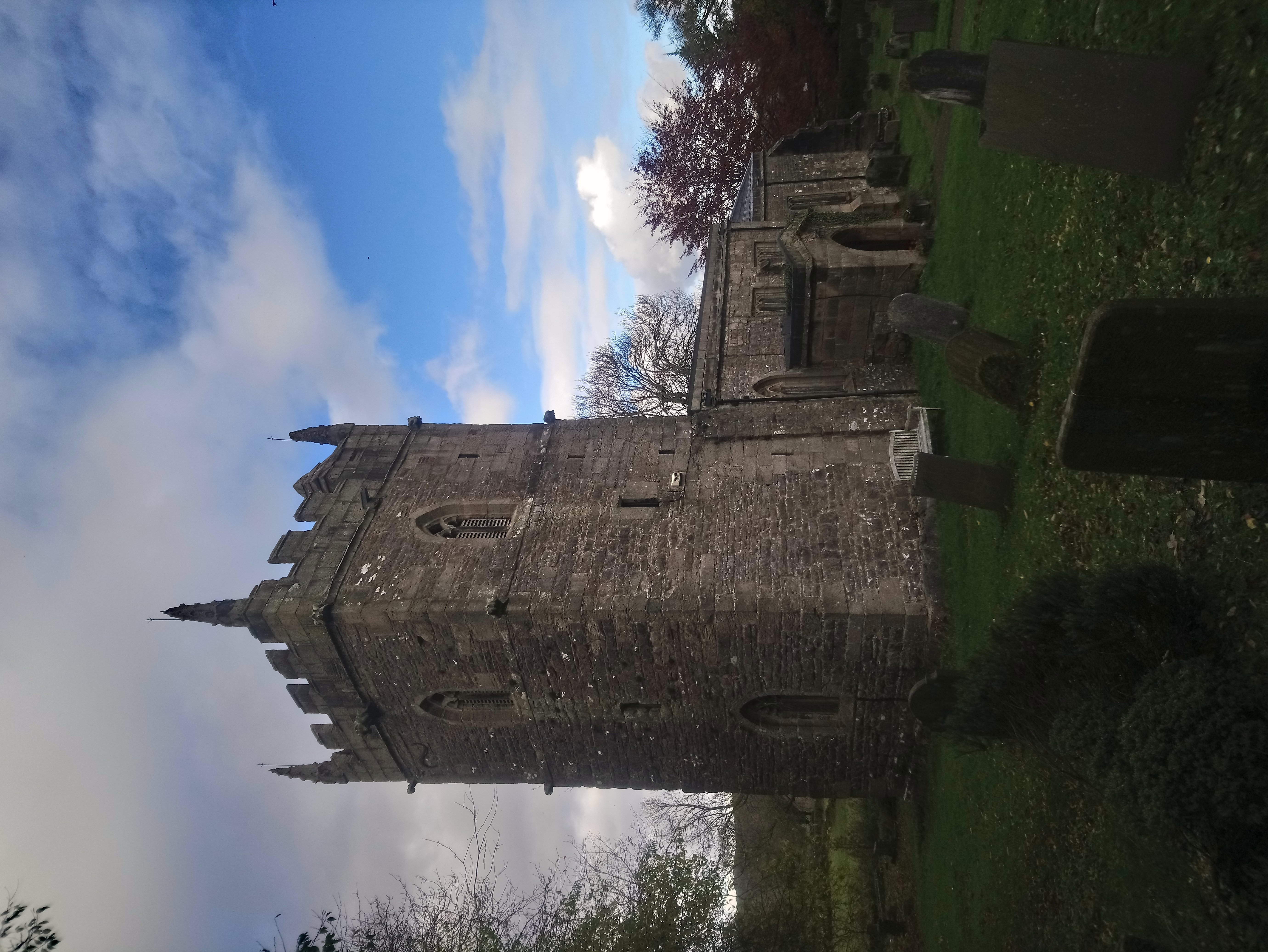
Blore () is a small village and parish in the Staffordshire Moorlands District of England. It is on an acclivity above Dovedale, three and a half miles north west of Ashbourne, including the hamlet of Swinscoe, one mile (1.6 km) to the south and a part of the parochial chapelry of Calton. The ecclesiastical parish is Blore Ray with Okeover and the civil parish is Blore-with-Swinscoe, both with slightly different boundaries. Blore parish, exclusive of the portion of Calton, contains about and 273 souls. Swinscoe contains about . The Bassett tomb (Erected between 1618 and 1640) The village of Blore comprises Blore Hall (now owned by the Holiday Property Bond), St Bartholomew's parish church, the Old Rectory, a few other houses and several farms. The hall was first mentioned in 1331, though only one building remains substantially unaltered since 1661. The Holiday Property Bond is a life assurance bond investment in securities and assets. Its 35,000 Bondholders have excl ... [...More Info...] [...Related Items...] OR: [Wikipedia] [Google] [Baidu] |
Swinscoe
Swinscoe is a small hamlet within the Staffordshire Moorlands in Staffordshire, England. Administratively, the hamlet is part of the civil parish In England, a civil parish is a type of administrative parish used for local government. It is a territorial designation which is the lowest tier of local government below districts and counties, or their combined form, the unitary authority ... of Blore with Swinscoe. References Staffordshire Moorlands {{Staffordshire-geo-stub ... [...More Info...] [...Related Items...] OR: [Wikipedia] [Google] [Baidu] |
Listed Buildings In Blore With Swinscoe
Blore with Swinscoe is a civil parish in the district of Staffordshire Moorlands, Staffordshire, England. It contains ten listed buildings that are recorded in the National Heritage List for England. Of these, one is listed at Grade I, the highest of the three grades, and the others are at Grade II, the lowest grade. The parish contains the villages of Blore and Swinscoe and the surrounding countryside. The listed buildings consist of a church and a cross in the churchyard, a house, a bridge, a cowhouse, structures at an entrance to Ilam Park Ilam Park is a country park situated in Ilam, on both banks of the River Manifold five miles (8 km) north west of Ashbourne, England, and in the ownership of the National Trust. The property is managed as part of the Trust's White Peak E ..., and two mileposts. __NOTOC__ Key Buildings References Citations Sources * * * * * * * * * * * * {{DEFAULTSORT:Blore with Swinscoe Lists of listed buildings in Staffor ... [...More Info...] [...Related Items...] OR: [Wikipedia] [Google] [Baidu] |
Villages In Staffordshire
A village is a clustered human settlement or community, larger than a hamlet but smaller than a town (although the word is often used to describe both hamlets and smaller towns), with a population typically ranging from a few hundred to a few thousand. Though villages are often located in rural areas, the term urban village is also applied to certain urban neighborhoods. Villages are normally permanent, with fixed dwellings; however, transient villages can occur. Further, the dwellings of a village are fairly close to one another, not scattered broadly over the landscape, as a dispersed settlement. In the past, villages were a usual form of community for societies that practice subsistence agriculture, and also for some non-agricultural societies. In Great Britain, a hamlet earned the right to be called a village when it built a church. [...More Info...] [...Related Items...] OR: [Wikipedia] [Google] [Baidu] |


