|
Black Trail
{{unreferenced, date=July 2014 The Black Trail (Polish: Szlak czarny, Tatar: Dzorna islach) was one of three main trails used by Crimean Tatars in their destructive raids over southeastern regions of the Polish–Lithuanian Commonwealth. The trail was named either after black traces left by the Tatars on chernozem, or after Black Forest, a wooded area at the confluence of the Siniucha into the Southern Bug, where Tatars concentrated their forces before a raid. Black Trail began in the swamps of the lower Inhul river. It went northwards to the Dniepr river, and then towards the Dnieper Upland. Near Korsun, it split into two trails: northwest (to Kiev) and southwest (to Zbaraz). Another trail used by Tatars in their destructive raids over the Commonwealth was the so-called Podole Trail, or Kuczman Trail. It stemmed from the Black Trail near the contemporary town of Voznesensk, and went towards Bar, Ukraine. Near Ternopil, the Podolian Trail merged with the Black Trail. See also ... [...More Info...] [...Related Items...] OR: [Wikipedia] [Google] [Baidu] |
Crimean Tatars
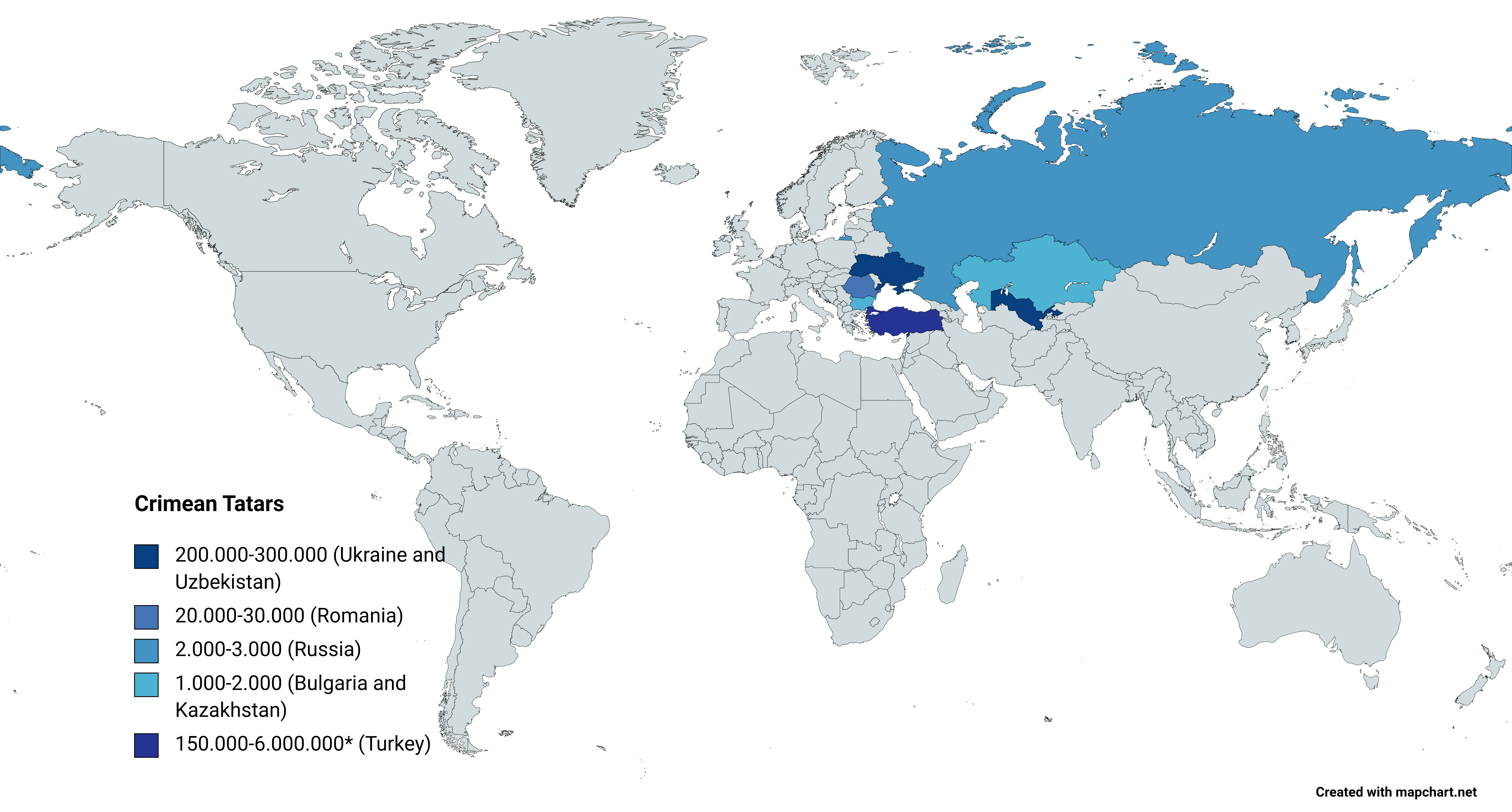
, flag = Flag of the Crimean Tatar people.svg , flag_caption = Flag of Crimean Tatars , image = Love, Peace, Traditions.jpg , caption = Crimean Tatars in traditional clothing in front of the Khan's Palace , poptime = , popplace = , region1 = , pop1 = 3,500,000 6,000,000 , ref1 = , region2 = * , pop2 = 248,193 , ref2 = , region3 = , pop3 = 239,000 , ref3 = , region4 = , pop4 = 24,137 , ref4 = , region5 = , pop5 = 2,449 , ref5 = , region7 = , pop7 = 1,803 , ref7 = , region8 = , pop8 = 1,532 , ref8 = , region9 = *() , pop9 = 7,000(500–1,000) , ref9 = , region10 = Total , pop10 = 4.024.114 (or 6.524.11 ... [...More Info...] [...Related Items...] OR: [Wikipedia] [Google] [Baidu] |
Podolia
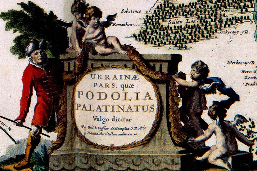
Podolia or Podilia ( uk, Поділля, Podillia, ; russian: Подолье, Podolye; ro, Podolia; pl, Podole; german: Podolien; be, Падолле, Padollie; lt, Podolė), is a historic region in Eastern Europe, located in the west-central and south-western parts of Ukraine and in northeastern Moldova (i.e. northern Transnistria). The name derives from Old Slavic ''po'', meaning "by/next to/along" and ''dol'', "valley" (see dale). Geography The area is part of the vast East European Plain, confined by the Dniester River and the Carpathian arc in the southwest. It comprises an area of about , extending for from northwest to southeast on the left bank of the Dniester. In the same direction run two ranges of relatively low hills separated by the Southern Bug, ramifications of the Avratynsk heights. The Podolian Upland, an elongated, up to high plateau stretches from the Western and Southern Bug rivers to the Dniester, and includes hill countries and mountainous regions ... [...More Info...] [...Related Items...] OR: [Wikipedia] [Google] [Baidu] |
Crimean Khanate
The Crimean Khanate ( crh, , or ), officially the Great Horde and Desht-i Kipchak () and in old European historiography and geography known as Little Tartary ( la, Tartaria Minor), was a Crimean Tatars, Crimean Tatar state existing from 1441 to 1783, the longest-lived of the Turkic khanates that succeeded the empire of the Golden Horde. Established by Hacı I Giray in 1441, it was regarded as the direct heir to the Golden Horde and to Cumania, Desht-i-Kipchak. In 1783, violating the 1774 Treaty of Küçük Kaynarca (which had guaranteed non-interference of both Russia and the Ottoman Empire in the affairs of the Crimean Khanate), the Russian Empire Annexation of Crimea by the Russian Empire, annexed the khanate. Among the European powers, only France came out with an open protest against this act, due to the longstanding Franco-Ottoman alliance. Naming and geography Crimean khans, considering their state as the heir and legal successor of the Golden Horde and Desht-i Kipchak, ... [...More Info...] [...Related Items...] OR: [Wikipedia] [Google] [Baidu] |
Izyum Trail
Izyum Trail or Izyum Warpath ( uk, Ізюмський шлях, Russian: Изюмский шлях) is a historic route used by the Crimean Nogays in the 16th and 17th centuries to penetrate into Sloboda Ukraine and then invade Muscovite Russia. The route branched off the Muravsky Trail in the upper reaches of the Orash River and, after crossing the Seversky Donets at a convenient ford near Izyum, continued north in the direction of the Great Abatis Border. In the mid-17th century, the route fell into disuse owing to the establishment of Kharkiv and other Cossack The Cossacks , es, cosaco , et, Kasakad, cazacii , fi, Kasakat, cazacii , french: cosaques , hu, kozákok, cazacii , it, cosacchi , orv, коза́ки, pl, Kozacy , pt, cossacos , ro, cazaci , russian: казаки́ or ... forts in the Sloboda Ukraine. See also Black Trail {{ukraine-geo-stub Roads in Ukraine Crimean Khanate Tsardom of Russia Donets basin ... [...More Info...] [...Related Items...] OR: [Wikipedia] [Google] [Baidu] |
Muravsky Trail
Muravsky Trail or Murava Route (russian: Муравский шлях, uk, Муравський шлях) was an important trade route and an invasion route of the Crimean Nogays during the Russo-Crimean Wars of the 16th and early 17th centuries. As described in the Book to the Great Chart of Muscovy (1627), the route went north from the Tatar fortress of Or Qapı (Perekop), the gateway of the Crimean peninsula, east of the Dnieper to the Russian fortress of Tula, 193 km south of Moscow. To avoid major river crossings, the route followed the high ground between the basins of the Dnieper and Don, making an almost straight line from the Dnieper bend to Tula. It ran mostly through thinly populated tallgrass steppe country ('Muravá' is an old Slavic word for prairie or grassland) avoiding forests, marshes and river crossings. Apart from the main route, there were a number of branches and bypaths, of which the Kalmius Trail and the Izyum Trail were by far the most important. B ... [...More Info...] [...Related Items...] OR: [Wikipedia] [Google] [Baidu] |
Ternopil
Ternópil ( uk, Тернопіль, Ternopil' ; pl, Tarnopol; yi, טאַרנאָפּל, Tarnopl, or ; he, טארנופול (טַרְנוֹפּוֹל), Tarnopol; german: Tarnopol) is a city in the west of Ukraine. Administratively, Ternopil serves as the administrative centre of Ternopil Oblast and has the status of city of oblast significance. Located on the banks of the Seret (river), Seret. Until 1944, it was known mostly as Tarnopol. Ternopil is one of the major cities of Western Ukraine and the historical regions of Galicia (Central Europe), Galicia and Podolia. It is served by Ternopil Airport. The population of Ternópil was estimated at . Administrative status The city is the administrative center of Ternopil Oblast (Oblasts of Ukraine, region), as well as of surrounding Ternopil Raion (Raions of Ukraine, district) within the oblast. It hosts the administration of Ternopil urban hromada, one of the hromadas of Ukraine. Demography According to Ukrainian Census (200 ... [...More Info...] [...Related Items...] OR: [Wikipedia] [Google] [Baidu] |
Bar, Ukraine
Bar ( uk, Бар; pl, Bar; russian: Бар) is a town located on the Riv River in the Vinnytsia Oblast (province) of central Ukraine. It is the administrative center of the Bar Raion (district), and is part of the historic region of Podolia. The town's estimated population is History Bar began as a small trade outpost known as Rov, within the Duchy of Podolia in the 13th century. Rov was noted for the first time in 1401. In 1537, the Polish Queen Bona Sforza renamed the settlement ''Bar'', after her hometown of Bari, Italy. Bar's highest mountain was renamed after Queen Sforza in 2018 to commemorate her role in naming the town. In 1540, King Sigismund I the Old of Poland granted the nearby town city rights. In the 1630s, Guillaume Le Vasseur de Beauplan built a fortress in Bar and made note of the town his book ''Description d'Ukranie''.Archived aGhostarchiveand thWayback Machine The Bar fortress was besieged several times in its history. In 1648, during the Khmelnytsky Upr ... [...More Info...] [...Related Items...] OR: [Wikipedia] [Google] [Baidu] |
Voznesensk
Voznesensk ( uk, Вознесенськ, ; russian: Вознесенск) is a city in Mykolaiv Oblast (region) of Ukraine and the administrative center of Voznesensk Raion (district). It hosts the administration of the Voznesensk urban hromada. The city has a population of History This city was founded in 1795 on the site of the Cossack settlement of Sokoly after the liquidation of the Zaporozhian Sich. Voznesensk received city status in 1938. During World War II, the city was occupied by Axis troops from August 1941 until March 1944. In January 1989, the population of the city was 43,881 people.Вознесенск Большой энциклопедический словарь (в 2-х тт.). редколл., гл. ред. А. М. Прохоров. том 1. М., "Советская энциклопедия", 1991. стр.236 Until 18 July 2020, Voznesensk was incorporated as a city of regional significance. It also served as the administrative center of Voznesen ... [...More Info...] [...Related Items...] OR: [Wikipedia] [Google] [Baidu] |
Zbaraz
Zbarazh ( uk, Збараж, pl, Zbaraż, yi, זבאריזש, Zbarizh) is a city in Ternopil Raion of Ternopil Oblast (province) of western Ukraine. It is located in the historic region of Galicia. Zbarazh hosts the administration of Zbarazh urban hromada, one of the hromadas of Ukraine. Population: Zbarazh is one of the settings of Henryk Sienkiewicz's novel ''With Fire and Sword'' (1884) in which he gives a detailed description of the famous Siege of Zbarazh. Notable Jewish residents included Rabbi Zev Wolf of Zbaraz, the singer Velvel Zbarjer and the author Ida Fink. History First attested in 1211 as a strong Ruthenian fortress, Zbarazh became a seat of the Gediminid princes Zbaraski towards the end of the 14th century. Ruins of the original castle are extant in the vicinity of modern Zbarazh. Following the 1569 Union of Lublin, Zbarazh became part of Kingdom of Poland's Krzemieniec County and Volhynian Voivodeship. After the first partition of Poland (1772), the town ... [...More Info...] [...Related Items...] OR: [Wikipedia] [Google] [Baidu] |
Polish–Lithuanian Commonwealth
The Polish–Lithuanian Commonwealth, formally known as the Kingdom of Poland and the Grand Duchy of Lithuania, and, after 1791, as the Commonwealth of Poland, was a bi-confederal state, sometimes called a federation, of Crown of the Kingdom of Poland, Poland and Grand Duchy of Lithuania, Lithuania ruled by a common Monarchy, monarch in real union, who was both King of Poland and List of Lithuanian monarchs, Grand Duke of Lithuania. It was one of the largest and most populous countries of 16th- to 17th-century Europe. At its largest territorial extent, in the early 17th century, the Commonwealth covered almost and as of 1618 sustained a multi-ethnic population of almost 12 million. Polish language, Polish and Latin were the two co-official languages. The Commonwealth was established by the Union of Lublin in July 1569, but the Crown of the Kingdom of Poland and the Grand Duchy of Lithuania had been in a ''de facto'' personal union since 1386 with the marriage of the Polish ... [...More Info...] [...Related Items...] OR: [Wikipedia] [Google] [Baidu] |
Kiev
Kyiv, also spelled Kiev, is the capital and most populous city of Ukraine. It is in north-central Ukraine along the Dnieper, Dnieper River. As of 1 January 2021, its population was 2,962,180, making Kyiv the List of European cities by population within city limits, seventh-most populous city in Europe. Kyiv is an important industrial, scientific, educational, and cultural center in Eastern Europe. It is home to many High tech, high-tech industries, higher education institutions, and historical landmarks. The city has an extensive system of Transport in Kyiv, public transport and infrastructure, including the Kyiv Metro. The city's name is said to derive from the name of Kyi, one of its four legendary founders. During History of Kyiv, its history, Kyiv, one of the oldest cities in Eastern Europe, passed through several stages of prominence and obscurity. The city probably existed as a commercial center as early as the 5th century. A Slavs, Slavic settlement on the great trade ... [...More Info...] [...Related Items...] OR: [Wikipedia] [Google] [Baidu] |


.jpg)