|
Bell-Irving River
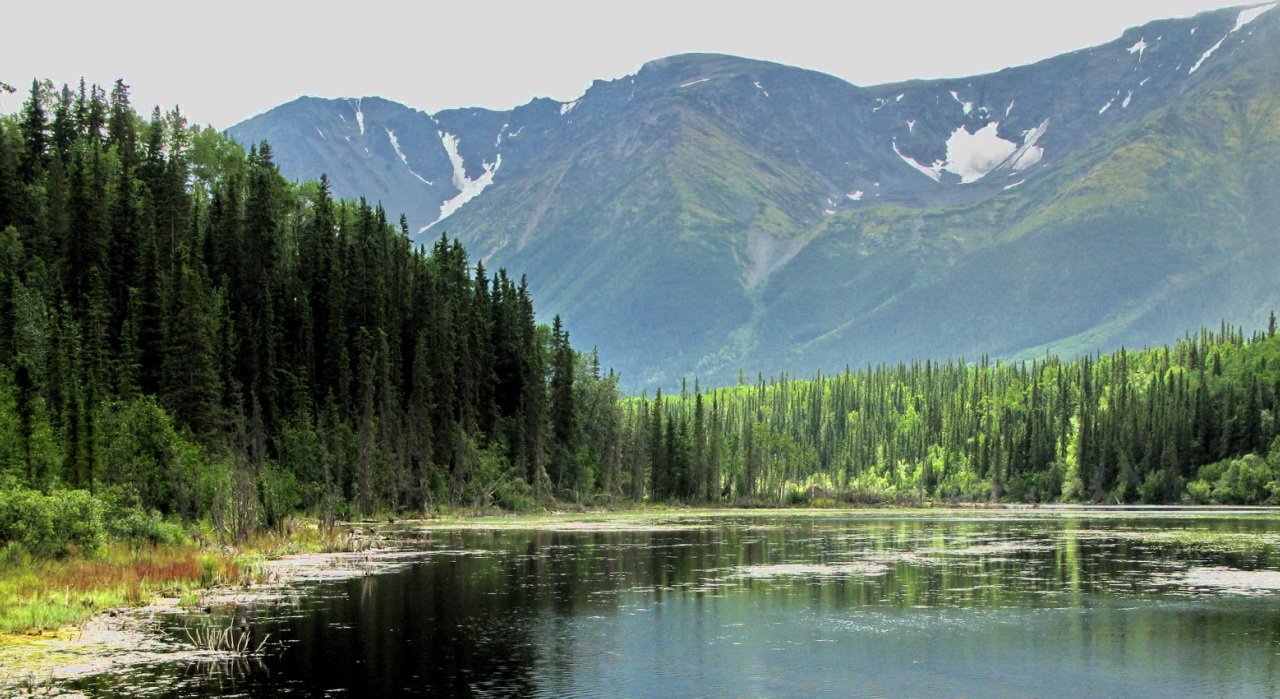
The Bell-Irving River is a tributary of the Nass River in northwestern British Columbia, Canada. It originates in the Sacred Headwaters region, and flows about south to the Nass River.Length calculated in Google Earth using the path tool. It course lies between the Oweegee Range of the Skeena Mountains to the east and the Boundary Ranges of the Coast Mountains to the west. The Bell-Irving River's watershed is within the traditional territory of several First Nations and there have been conflicting claims. The main peoples whose histories involve the Bell-Irving River are the Gitxsan (also spelled Gitksan), Gitanyow, Nisga'a, Tahltan, and Tsetsaut. Name The river's name honors Canadian Army Lieutenant Duncan Peter Bell-Irving, BCLS, of Vancouver. Before World War I Bell-Irving was exploring and surveying the upper Nass River system. When war broke out he enlisted and served with the 2nd Field Company, Canadian Engineers. On February 25, 1915, in Belgium, he was shot and killed by ... [...More Info...] [...Related Items...] OR: [Wikipedia] [Google] [Baidu] |
Canada
Canada is a country in North America. Its ten provinces and three territories extend from the Atlantic Ocean to the Pacific Ocean and northward into the Arctic Ocean, covering over , making it the world's second-largest country by total area. Its southern and western border with the United States, stretching , is the world's longest binational land border. Canada's capital is Ottawa, and its three largest metropolitan areas are Toronto, Montreal, and Vancouver. Indigenous peoples have continuously inhabited what is now Canada for thousands of years. Beginning in the 16th century, British and French expeditions explored and later settled along the Atlantic coast. As a consequence of various armed conflicts, France ceded nearly all of its colonies in North America in 1763. In 1867, with the union of three British North American colonies through Confederation, Canada was formed as a federal dominion of four provinces. This began an accretion of provinces an ... [...More Info...] [...Related Items...] OR: [Wikipedia] [Google] [Baidu] |
Nisga'a
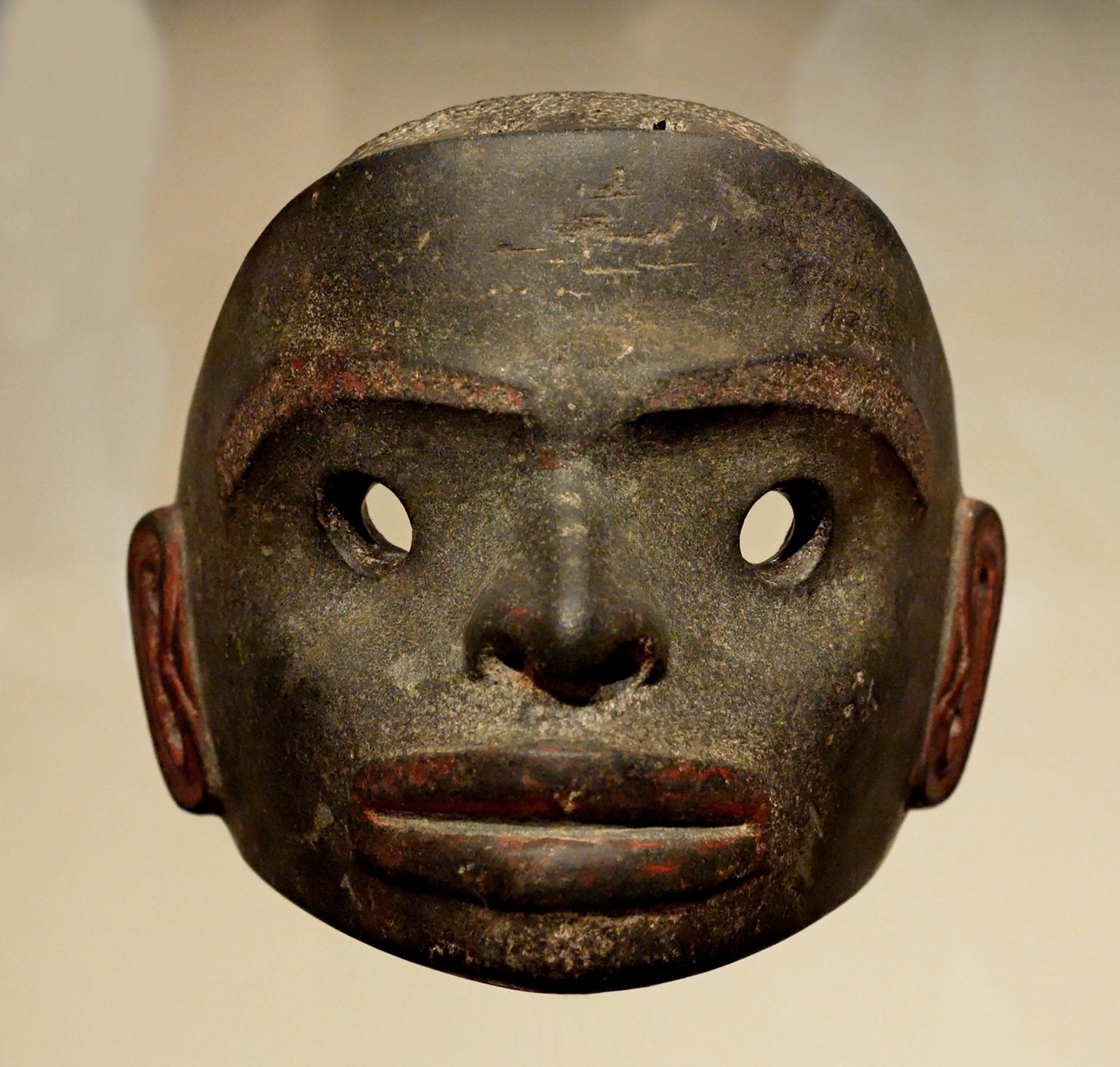
The Nisga’a , often formerly spelled Nishga and spelled in the Nisga'a language as (pronounced ), are an Indigenous people of Canada in British Columbia. They reside in the Nass River valley of northwestern British Columbia. The name is a reduced form of , which is a loan word from Tongass Tlingit, where it means "people of the Nass River". The official languages of Nisg̱a’a are the Nisg̱a’a language and English. Nisga’a culture Society Nisga’a society is organized into four tribes: * Ganhada (G̱anada, Raven) * Gispwudwada (Gisḵ’aast, Killer Whale) * Laxgibuu (Lax̱gibuu, Wolf) * Laxsgiik (Lax̱sgiik, Eagle) Each tribe is further sub-divided into house groups – extended families with same origins. Some houses are grouped together into clans – grouping of Houses with same ancestors. Example: *Lax̱gibuu Tribe (Wolf Tribe) ** Gitwilnaak’il Clan (People Separated but of One) *** House of Duuḵ *** House of K’eex̱kw *** House of Gwingyoo Traditiona ... [...More Info...] [...Related Items...] OR: [Wikipedia] [Google] [Baidu] |
Ketchikan, Alaska
Ketchikan ( ; tli, Kichx̱áan) is a city in and the borough seat of the Ketchikan Gateway Borough of Alaska. It is the state's southeasternmost major settlement. Downtown Ketchikan is a National Historic District. With a population at the 2020 census of 8,192, up from 8,050 in 2010, it is the sixth-most populous city in the state, and thirteenth-most populous community when census-designated places are included. The surrounding borough, encompassing suburbs both north and south of the city along the Tongass Highway (most of which are commonly regarded as a part of Ketchikan, albeit not a part of the city itself), plus small rural settlements accessible mostly by water, registered a population of 13,948 in that same census. Incorporated on August 25, 1900, Ketchikan is the earliest extant incorporated city in Alaska, because consolidation or unification elsewhere in Alaska resulted in the dissolution of those communities' city governments. Ketchikan is located on Revillagige ... [...More Info...] [...Related Items...] OR: [Wikipedia] [Google] [Baidu] |
Treaty Creek
A treaty is a formal, legally binding written agreement between actors in international law. It is usually made by and between sovereign states, but can include international organizations, individuals, business entities, and other legal persons. A treaty may also be known as an international agreement, protocol, covenant, convention, pact, or exchange of letters, among other terms. However, only documents that are legally binding on the parties are considered treaties under international law. Treaties vary on the basis of obligations (the extent to which states are bound to the rules), precision (the extent to which the rules are unambiguous), and delegation (the extent to which third parties have authority to interpret, apply and make rules). Treaties are among the earliest manifestations of international relations, with the first known example being a border agreement between the Sumerian city-states of Lagash and Umma around 3100 BC. International agreements were used in s ... [...More Info...] [...Related Items...] OR: [Wikipedia] [Google] [Baidu] |
Unuk River
The Unuk River is a river in the U.S. state of Alaska and the Canadian province of British Columbia. It flows from the Coast Mountains southwest to Behm Canal, northeast of Ketchikan, Alaska. From its headwaters in a heavily glaciated area in British Columbia, south of the lower Iskut River, the Unuk flows west and south for , crossing into Alaska and emptying into Burroughs Bay, an inlet of Behm Canal. In Alaska the river flows through the Misty Fjords National Monument.Unuk River Chinook Salmon Studies Alaska Department of Fish and Game In it is called ''Joonáx̱'', the meaning of which is obscure but may have to do with dreaming (cf. ''aawajoon'' “he dreamed”). It i ... [...More Info...] [...Related Items...] OR: [Wikipedia] [Google] [Baidu] |
Iskut River
The Iskut River, located in the northwest part of the province of British Columbia is the largest tributary of the Stikine River, entering it about above its entry into Alaska. From its source at Kluachon Lake the Iskut River flows south and west for about Length measured using BCGNIS coordinates, topographic maps, anToporama/ref> to the Stikine River near the border of British Columbia and Alaska. The upper Iskut flows south through a series of lakes: Kluachon Lake, Eddontenajon Lake, Tatogga Lake, Kinaskan Lake, Natadesleen Lake, and others. The middle Iskut encompasses the area between the Little Iskut River and Forrest Kerr Creek. Below the Ningunsaw River the Iskut flows southwest through a canyon and is regulated by the Forrest Kerr Hydroelectric Project, a run-of-river hydroelectric project. The lower Iskut flows west through an increasingly braided channel. The upper Iskut is in the Klastline Plateau, a subregion of the Stikine Plateau. The middle Iskut forms the bou ... [...More Info...] [...Related Items...] OR: [Wikipedia] [Google] [Baidu] |
Klappan River
The Klappan River is a major tributary of the Stikine River in northwestern British Columbia, Canada. It flows north from an area known as the Sacred Headwaters, which is the source not only of this river but also of the Nass, Skeena, Spatsizi and Stikine Rivers. The headwaters region is the site of a controversial coal-bed methane project. See also *Klappan Range The Klappan Range is a small subrange of the Skeena Mountains of the Interior Mountains, located between Klappan River and Iskut River in northern British Columbia, Canada. Mountains Mountains within the Klappan Range include: * Todagin Mountain ... * Klappan Mountain References *https://web.archive.org/web/20110706165819/http://archive.ilmb.gov.bc.ca/bcgn-bin/bcg10?name=5410 Stikine Country Stikine Plateau Rivers of British Columbia Tributaries of the Stikine River Cassiar Land District {{BritishColumbiaInterior-river-stub ... [...More Info...] [...Related Items...] OR: [Wikipedia] [Google] [Baidu] |
Stikine River
The Stikine River is a major river in northern British Columbia (BC), Canada and southeastern Alaska in the United States. It drains a large, remote upland area known as the Stikine Country east of the Coast Mountains. Flowing west and south for , it empties into various straits of the Inside Passage near Wrangell, Alaska. About 90 percent of the river's length and 95 percent of its drainage basin are in Canada.Lehner, B., Verdin, K., Jarvis, A. (2008)New global hydrography derived from spaceborne elevation data Eos, Transactions, AGU, 89(10): 93–94. Considered one of the last truly wild large rivers in BC, the Stikine flows through a variety of landscapes including boreal forest, steep canyons and wide glacial valleys. Known as the "fastest-flowing navigable river in North America," the Stikine forms a natural waterway from northern interior British Columbia to the Pacific coast. The river has been used for millennia by indigenous peoples including the Tlingit an ... [...More Info...] [...Related Items...] OR: [Wikipedia] [Google] [Baidu] |
Skeena River
The Skeena River is the second-longest river entirely within British Columbia, Canada (after the Fraser River). Since ancient times, the Skeena has been an important transportation artery, particularly for the Tsimshian and the Gitxsan—whose names mean "inside the Skeena River" ,and "people of the Skeena River," respectively. The river and its basin sustain a wide variety of fish, wildlife, and vegetation, and communities native to the area depend on the health of the river. The Tsimshian migrated to the Lower Skeena River, and the Gitxsan occupy territory of the Upper Skeena. During the Omineca Gold Rush, steamboat services ran from the sea to Hazelton, which was the jumping-off point for the trails to the goldfields. The Hudson's Bay Company established a major trading post on the Skeena at what became called Port Simpson, British Columbia (''Lax Kw'alaams''), where nine tribes of the Tsimshian nation settled about 1834. Other tribes live elsewhere in BC, and descendants of ... [...More Info...] [...Related Items...] OR: [Wikipedia] [Google] [Baidu] |
Canadian Military Engineers
The Canadian Military Engineers (CME; french: links=no, Génie militaire canadien) is the military engineering personnel branch of the Canadian Armed Forces. The members of the branch that wear army uniform comprise the Corps of Royal Canadian Engineers (RCE; french: links=no, Corps du génie royal canadien). The mission of the Canadian Military Engineers is to contribute to the survival, mobility, and combat effectiveness of the Canadian Armed Forces. Their roles are to conduct combat operations, support the Canadian Forces in war and peace, support national development, provide assistance to civil authorities, and support international aid programs. Military engineers’ responsibilities encompass the use of demolitions and land mines, the design, construction and maintenance of defensive works and fortifications, urban operations (hostile room entry), breaching obstacles, establishing/maintaining lines of communication, and bridging. They also provide water, power and other utili ... [...More Info...] [...Related Items...] OR: [Wikipedia] [Google] [Baidu] |
World War I
World War I (28 July 1914 11 November 1918), often abbreviated as WWI, was one of the deadliest global conflicts in history. Belligerents included much of Europe, the Russian Empire, the United States, and the Ottoman Empire, with fighting occurring throughout Europe, the Middle East, Africa, the Pacific, and parts of Asia. An estimated 9 million soldiers were killed in combat, plus another 23 million wounded, while 5 million civilians died as a result of military action, hunger, and disease. Millions more died in genocides within the Ottoman Empire and in the 1918 influenza pandemic, which was exacerbated by the movement of combatants during the war. Prior to 1914, the European great powers were divided between the Triple Entente (comprising France, Russia, and Britain) and the Triple Alliance (containing Germany, Austria-Hungary, and Italy). Tensions in the Balkans came to a head on 28 June 1914, following the assassination of Archduke Franz Ferdin ... [...More Info...] [...Related Items...] OR: [Wikipedia] [Google] [Baidu] |

.jpeg)


.jpg)