|
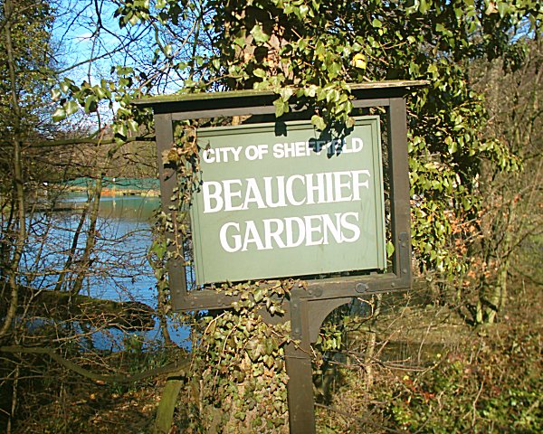
Beauchief Gardens
Beauchief Gardens is a small area of formal parkland in south-west Sheffield. The gardens lie between Abbeydale Road South to the north-west, the River Sheaf and the railway line to the south and Beauchief Dam to the east. The gardens were donated to the city by the J. G. Graves Trust in 1935, following the earlier donation, two years previously, of (immediately downstream). The gardens had always been well kept and had their own gardener. The level of care had declined until the 1990s, when the Friends of Millhouses Park accepted the challenge of restoring the gardens. Clean-up events ... [...More Info...] [...Related Items...] OR: [Wikipedia] [Google] [Baidu] |
Sheffield
Sheffield is a city status in the United Kingdom, city in South Yorkshire, England, whose name derives from the River Sheaf which runs through it. The city serves as the administrative centre of the City of Sheffield. It is Historic counties of England, historically part of the West Riding of Yorkshire and some of its southern suburbs were transferred from Derbyshire to the city council. It is the largest settlement in South Yorkshire. The city is in the eastern foothills of the Pennines and the valleys of the River Don, Yorkshire, River Don with its four tributaries: the River Loxley, Loxley, the Porter Brook, the River Rivelin, Rivelin and the River Sheaf, Sheaf. Sixty-one per cent of Sheffield's entire area is green space and a third of the city lies within the Peak District national park. There are more than 250 parks, woodlands and gardens in the city, which is estimated to contain around 4.5 million trees. The city is south of Leeds, east of Manchester, and north ... [...More Info...] [...Related Items...] OR: [Wikipedia] [Google] [Baidu] |
Abbeydale Road
Abbeydale Road and its continuation Abbeydale Road South together are an arterial main road and bus route in Sheffield, South Yorkshire, England. The road begins at a junction with London Road (Sheffield), London Road near the former Royal Hotel public house. As Abbeydale Road it leads south-west from the suburb of Highfield, Sheffield, Highfield, becoming Abbeydale Road South near Millhouses Park and leading to the railway bridge over the Hope Valley Line, Dore and Chinley Railway, before becoming Baslow Road (Sheffield), Baslow Road. The road forms part of the A621 road, A621. The road passes Highfield, Abbeydale, South Yorkshire, Abbeydale, Millhouses, Beauchief and Abbeydale Park. In Nether Edge, Abbeydale Road is home to the historic Abbeydale Picture House. Until 8 October 1960, trams of the Sheffield Tramway ran from Sheffield City Centre along Abbeydale Road to Millhouses terminus. The road has been converted to a dual-carriageway from Millhouses to the Baslow Road rail ... [...More Info...] [...Related Items...] OR: [Wikipedia] [Google] [Baidu] |
River Sheaf
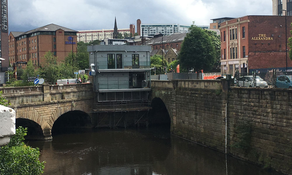
The River Sheaf in Sheffield, South Yorkshire, England, flows northwards, past Dore, through Abbeydale and north of Heeley. It then passes into a culvert, through which it flows under the centre of Sheffield before joining the River Don. This lower section of the River Sheaf, together with the River Don between the Blonk Street and Lady's Bridges, formed two sides of the boundary of Sheffield Castle. The main tributaries of the Sheaf are the Porter Brook, which joins it beneath Sheffield Midland station, and the Meers Brook. The river has been polluted upstream through centuries of industrial activity, including iron and steel working, and is only slowly recovering. The river used to provide the power for metal works such as the Grade I-listed Abbeydale Industrial Hamlet. A River Sheaf Walk has been developed which follows the river from Granville Square out to Millhouses Park and beyond to the Peak District. Name Until the 17th century the name ''Sheaf'' was written as ... [...More Info...] [...Related Items...] OR: [Wikipedia] [Google] [Baidu] |
Midland Main Line
The Midland Main Line is a major railway line in England from London to Nottingham and Sheffield in the Midlands. It comprises the lines from London's St Pancras station via Leicester, Derby/Nottingham and Chesterfield in the East Midlands. Express passenger services on the line are operated by East Midlands Railway. The line is electrified between St Pancras and Corby and the section south of Bedford forms the northern half of the Thameslink network, with a semi-fast service to Brighton and other suburban services. A northern part of the route, between Derby and Chesterfield, also forms part of the Cross Country Route operated by CrossCountry. Tracks from Nottingham to Leeds via Barnsley and Sheffield are shared with Northern. East Midlands Railway also operates regional and local services using parts of the line. The Midland Main Line is to receive a major upgrade of new digital signalling and full line electrification from London to Sheffield. HS2 is to branch onto th ... [...More Info...] [...Related Items...] OR: [Wikipedia] [Google] [Baidu] |
Abbeydale Industrial Hamlet
Abbeydale Industrial Hamlet is an industrial museum in the south of the City of Sheffield, England. The museum forms part of a former steel-working site on the River Sheaf, with a history going back to at least the 13th century. It consists of a number of dwellings and workshops that were formerly the Abbeydale Works—a scythe-making plant that was in operation until the 1930s—and is a remarkably complete example of a 19th-century works. The works are atypical in that much of the production process was completed on the same site (in a similar manner to a modern factory). A more typical example of water-powered works in the area can be found at Shepherd Wheel. The site is a scheduled monument, the works are Grade I listed and the workers' cottages, counting house, and manager's house are Grade II* listed. History The site was used for iron forging for 500 years, although there is evidence of other metal working before 1200. Its early history is intimately tied with the nea ... [...More Info...] [...Related Items...] OR: [Wikipedia] [Google] [Baidu] |
John George Graves
John George Graves (1866–1945) was a successful English entrepreneur and public benefactor. He became Sheffield's Lord Mayor and an Alderman in 1926 and he was given Freedom of the City in 1929. He was born in Lincolnshire in 1866 and died in 1945, having settled in Sheffield. Early life Graves was born in Horncastle, Lincolnshire in 1866, the eldest of three children of Thomas and Julia Graves. When he was 8 years old, the family moved to Heckmondwyke, where his father operated a butchers shop. He attended Batley Grammar School until the age of fourteen, before moving to Sheffield. Career Graves moved to Sheffield to become an apprentice watchmaker. He was apprenticed to W. Wichman of Gibraltar Street. He then set up one of Britain's first mail order businesses, selling first watches and then a wide range of goods. The company employed, at its peak, 3,000 people in Sheffield and had an annual turnover of £1 million. The company was absorbed by Great Universal S ... [...More Info...] [...Related Items...] OR: [Wikipedia] [Google] [Baidu] |
Limb Brook
The Limb Brook is a stream in Sheffield, South Yorkshire, England. It rises at the village of Ringinglow, flowing east through Whirlow and Ecclesall Woods into Abbeydale in the Beauchief area, where it merges with the River Sheaf. Near this point part of the stream has been diverted to provide the goit for the Abbeydale Industrial Hamlet millpond, and this channel flows through what is now Beauchief Gardens. History On nearby Fulwood Lane a polished Neolithic stone axehead was found in 1952 indicating ancient human activity in the area. An interim report by University of Sheffield staff on excavations of a linear feature at Sheephill Farm, close to the brook has suggested evidence of the route of the lost Roman Road linking Templeborough with the Roman Signal Station at Navio and Batham Gate. The feature, which extends through Barber Fields is 20m wide and filled to a depth of 5m with rubble and has a metalled surface. The route of the Roman Road would have passed close to ... [...More Info...] [...Related Items...] OR: [Wikipedia] [Google] [Baidu] |


