|
Barrier Canyon Style
Barrier Canyon Style (BCS) describes a distinctive style of rock art which appears mostly in Utah, with the largest concentration of sites in and around the San Rafael Swell and Canyonlands National Park, but the full range extends into much of the state and western Colorado. The term was first applied by Polly Schaafsma (The Rock Art of Utah, 1971) to describe a handful of similar sites known at the time, including several along Barrier Creek in Horseshoe Canyon (formerly known as Barrier Canyon). Barrier Canyon Style rock art panels are mostly pictographs (painted) but there are also several petroglyphs (pecked) in the style. These panels are believed to have been created during the archaic period (probably late archaic) and are estimated (from direct and indirect carbon 14 dates) to be somewhere in the range of 1500 to 4000 years old, possibly older -- clay figurines of a similar style found in Cowboy Cave (in a tributary canyon to Horseshoe Canyon) have been dated to over 7 ... [...More Info...] [...Related Items...] OR: [Wikipedia] [Google] [Baidu] |
Rock Art
In archaeology, rock art is human-made markings placed on natural surfaces, typically vertical stone surfaces. A high proportion of surviving historic and prehistoric rock art is found in caves or partly enclosed rock shelters; this type also may be called cave art or parietal art. A global phenomenon, rock art is found in many culturally diverse regions of the world. It has been produced in many contexts throughout human history. In terms of technique, the four main groups are: * cave paintings, * petroglyphs, which are carved or scratched into the rock surface, * sculpted rock reliefs, and * geoglyphs, which are formed on the ground. The oldest known rock art dates from the Upper Palaeolithic period, having been found in Europe, Australia, Asia, and Africa. Anthropologists studying these artworks believe that they likely had magico-religious significance. The archaeological sub-discipline of rock art studies first developed in the late-19th century among Francophone scholars s ... [...More Info...] [...Related Items...] OR: [Wikipedia] [Google] [Baidu] |
Tributary
A tributary, or affluent, is a stream or river that flows into a larger stream or main stem (or parent) river or a lake. A tributary does not flow directly into a sea or ocean. Tributaries and the main stem river drain the surrounding drainage basin of its surface water and groundwater, leading the water out into an ocean. The Irtysh is a chief tributary of the Ob river and is also the longest tributary river in the world with a length of . The Madeira River is the largest tributary river by volume in the world with an average discharge of . A confluence, where two or more bodies of water meet, usually refers to the joining of tributaries. The opposite to a tributary is a distributary, a river or stream that branches off from and flows away from the main stream. PhysicalGeography.net, Michael Pidwir ... [...More Info...] [...Related Items...] OR: [Wikipedia] [Google] [Baidu] |
Thompson Springs, Utah
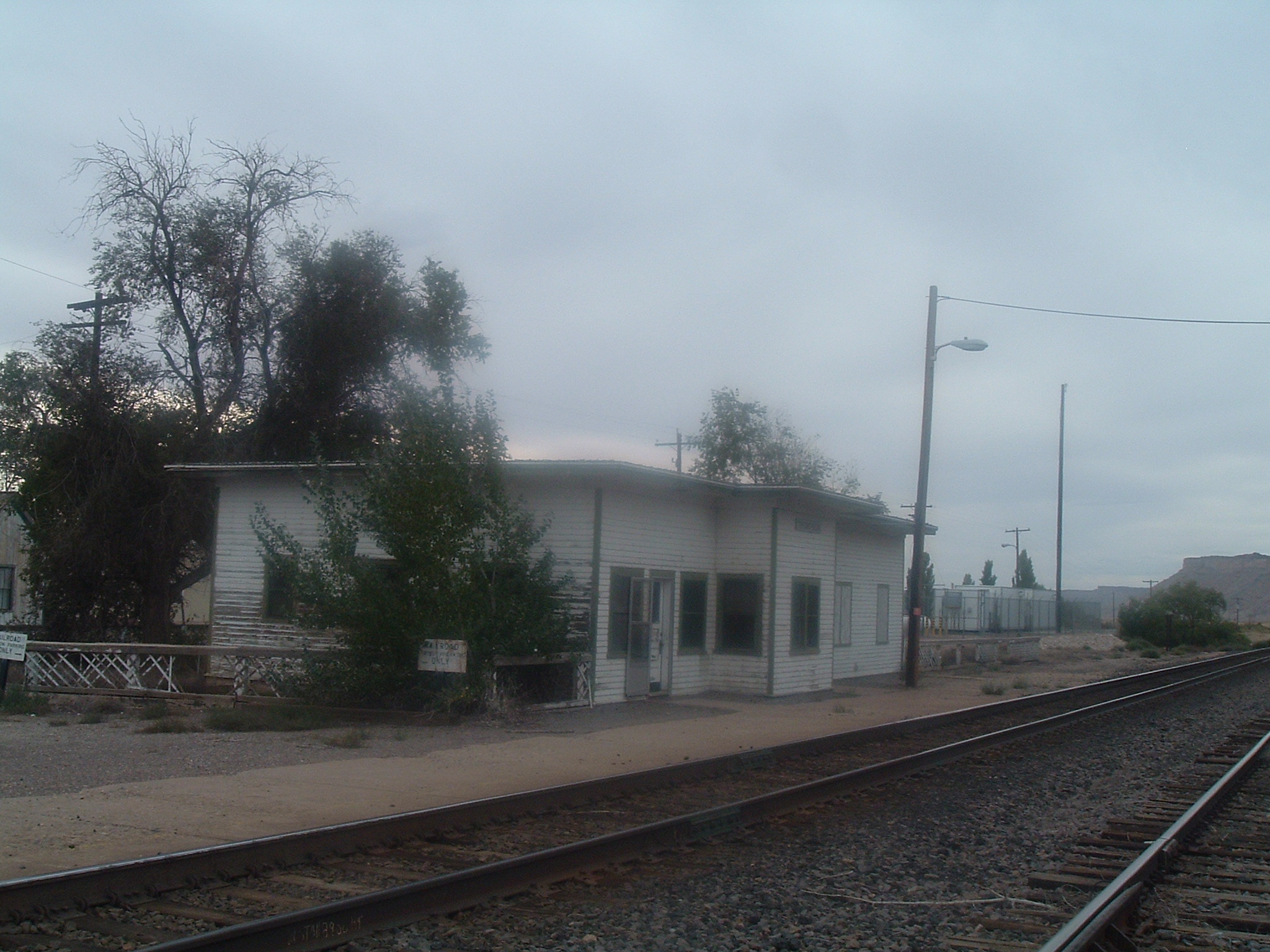
Thompson Springs, also officially known for a time as just Thompson, is a small census-designated place in central Grand County, Utah, United States. The population was 39 at the 2010 census. The town is just north of the east–west highway route shared by Interstate 70, U.S. Route 6 and U.S. Route 50, between Crescent Junction and Cisco. Moab, the county seat, is to the south. Thompson Springs is located in high desert country at an elevation of , with the Book Cliffs just to the north. The town's ZIP code is 84540. The mystery "The Silver Spur Cafe" by Chinle Miller is partially set in Thompson Springs. History Evidence of human habitation or use of the Thompson Springs area can be dated back to the Archaic Period, when beautiful pictographs were left in Thompson Canyon. Subsequent Anasazi, Fremont, and Ute tribes have also left their mark upon the area. The site of this rock art in Thompson Canyon has been designated as the Thompson Wash Rock Art District. Thompso ... [...More Info...] [...Related Items...] OR: [Wikipedia] [Google] [Baidu] |
Arches National Park
Arches National Park is a national park in eastern Utah, United States. The park is adjacent to the Colorado River, north of Moab, Utah. More than 2,000 natural sandstone arches are located in the park, including the well-known Delicate Arch, as well as a variety of unique geological resources and formations. The park contains the highest density of natural arches in the world. The park consists of of high desert located on the Colorado Plateau. The highest elevation in the park is at Elephant Butte, and the lowest elevation is at the visitor center. The park receives an average of less than of rain annually. Administered by the National Park Service, the area was originally named a national monument on April 12, 1929, and was redesignated as a national park on November 12, 1971. The park received more than 1.6 million visitors in 2018. Park purpose As stated in the foundation document in U.S. National Park Service website: Geology The national park lies above an ... [...More Info...] [...Related Items...] OR: [Wikipedia] [Google] [Baidu] |
Courthouse Wash Pictographs
The Courthouse Wash Pictographs are a series of large pictographs created over a long period of time, located on a sheltered sandstone wall at the mouth of Courthouse Wash, Arches National Park in Grand County, Utah, United States, just north of Moab, that is listed on the National Register of Historic Places (NRHP). Description The series of images depict a variety of figures, many of them anthropomorphic and measuring up to in height. The Courthouse wash site is located near the junction of Courthouse Wash with the Colorado River, extending over a 100-meter section of cliff base. The pictographs include painted figures resembling those found in Horseshoe Canyon in Canyonlands National Park, to the west. Other figures, including those of animals, have been incised by removal of the rock's covering of desert varnish. The painted figures follow the Barrier Canyon Style and are believed to be between 1500 and 4000 years old. The incised figures are attributed to the Fremon ... [...More Info...] [...Related Items...] OR: [Wikipedia] [Google] [Baidu] |
Buckhorn Draw Pictograph Panel
The Buckhorn Draw Pictograph Panel is an example of rock art, located in Buckhorn Draw in the San Rafael Swell in central Utah, approximately four miles north of the San Rafael campground and bridge. Primarily a Barrier Canyon Style panel, there are a few later petroglyphs of Fremont culture origin as well. In many cases the Fremont painted figures on top of the older Barrier Canyon ones. The route up Buckhorn Draw was part of the Old Spanish Trail. As a result of the relatively large number of people passing by, the panel was repeatedly vandalized and marked with graffiti Graffiti (plural; singular ''graffiti'' or ''graffito'', the latter rarely used except in archeology) is art that is written, painted or drawn on a wall or other surface, usually without permission and within public view. Graffiti ranges from s ... over the years. In 1996 the State of Utah and Emery County restored the panel as part of the state's centennial celebration. External links *{{commons ... [...More Info...] [...Related Items...] OR: [Wikipedia] [Google] [Baidu] |
Barrier Canyon Style, Sego Canyon
A barrier or barricade is a physical structure which blocks or impedes something. Barrier may also refer to: Places * Barrier, Kentucky, a community in the United States * Barrier, Voerendaal, a place in the municipality of Voerendaal, Netherlands * Barrier Bay, an open bay in Antarctica * Barrier Canyon, the former name of Horseshoe Canyon (Utah) * Barrier Lake, Alberta, Canada * Barrier Mountain, the former name of Mount Baldy (Alberta) * Barrier Ranges, a mountain range in New South Wales, Australia * Division of Barrier, a former Australian Electoral Division in New South Wales * The Barrier, a lava dam in British Columbia, Canada * The Barrier (Kenya), an active shield volcano in Kenya * The Barrier, a common synonym for the city of Broken Hill, New South Wales * The Barrier, an early name for the Ross Ice Shelf, Antarctica In arts and entertainment Film * ''The Barrier'' (1917 film), a lost 1917 American silent drama film * ''The Barrier'' (1926 film), a silent fil ... [...More Info...] [...Related Items...] OR: [Wikipedia] [Google] [Baidu] |
Cowboy Cave
A cowboy is an animal herder who tends cattle on ranches in North America, traditionally on horseback, and often performs a multitude of other ranch-related tasks. The historic American cowboy of the late 19th century arose from the ''vaquero'' traditions of northern Mexico and became a figure of special significance and legend.Malone, J., p. 1. A subtype, called a Wrangler (profession), wrangler, specifically tends the horses used to work cattle. In addition to ranch work, some cowboys work for or participate in rodeos. Cowgirls, first defined as such in the late 19th century, had a less-well documented historical role, but in the modern world work at identical tasks and have obtained considerable respect for their achievements. Cattle handlers in many other parts of the world, particularly South America and Australia, perform work similar to the cowboy. The cowboy has deep historic roots tracing back to Spain and the earliest European Settlement of the Americas, settlers of th ... [...More Info...] [...Related Items...] OR: [Wikipedia] [Google] [Baidu] |
Utah
Utah ( , ) is a state in the Mountain West subregion of the Western United States. Utah is a landlocked U.S. state bordered to its east by Colorado, to its northeast by Wyoming, to its north by Idaho, to its south by Arizona, and to its west by Nevada. Utah also touches a corner of New Mexico in the southeast. Of the fifty U.S. states, Utah is the 13th-largest by area; with a population over three million, it is the 30th-most-populous and 11th-least-densely populated. Urban development is mostly concentrated in two areas: the Wasatch Front in the north-central part of the state, which is home to roughly two-thirds of the population and includes the capital city, Salt Lake City; and Washington County in the southwest, with more than 180,000 residents. Most of the western half of Utah lies in the Great Basin. Utah has been inhabited for thousands of years by various indigenous groups such as the ancient Puebloans, Navajo and Ute. The Spanish were the first Europe ... [...More Info...] [...Related Items...] OR: [Wikipedia] [Google] [Baidu] |
Figurine
A figurine (a diminutive form of the word ''figure'') or statuette is a small, three-dimensional sculpture that represents a human, deity or animal, or, in practice, a pair or small group of them. Figurines have been made in many media, with clay, metal, wood, glass, and today plastic or resin the most significant. Ceramic figurines not made of porcelain are called terracottas in historical contexts. Figures with movable parts, allowing limbs to be posed, are more likely to be called dolls, mannequins, or action figures; or robots or automata, if they can move on their own. Figurines and miniatures are sometimes used in board games, such as chess, and tabletop role playing games. The main difference between a figurine and a statue is size. There is no agreed limit, but typically objects are called "figurines" up to a height of perhaps , though most types are less than high. Prehistory In China, there are extant Neolithic figurines. European prehistoric figurines of women, s ... [...More Info...] [...Related Items...] OR: [Wikipedia] [Google] [Baidu] |


