|
Barony Of Castleknock
The barony of Castleknock ( ga, Caisleán Cnucha meaning "Cnucha's Castle") is one of the baronies of Ireland. Originally part of the Lordship of Meath, it was then constituted as part of the historic County Dublin. Today, it lies in the modern county of Fingal, Ireland. The barony was originally also a feudal title, which became one of the subsidiary titles of the Viscounts Gormanston. History The barony was created by Hugh de Lacy, Lord of Meath, as his own feudal barony, to be held directly from himself ''in capite'' (his vassals were commonly called "De Lacy's Barons".) The first vassal was Hugh Tyrrel in 1177. It was held for three and a half knight's fees, owed to the superior Lord of Fingal. The title and lands of Castleknock were held by the Tyrell family until 1370 when Hugh Tyrell and his wife died of the plague. It later passed to the Viscount Gormanston. Location At the heart of the barony is the civil parish of the same name - Castleknock - which is one of eigh ... [...More Info...] [...Related Items...] OR: [Wikipedia] [Google] [Baidu] |
Barony (Ireland)
In Ireland, a barony ( ga, barúntacht, plural ) is a historical subdivision of a county, analogous to the hundreds into which the counties of England were divided. Baronies were created during the Tudor reconquest of Ireland, replacing the earlier cantreds formed after the original Norman invasion.Mac Cotter 2005, pp.327–330 Some early baronies were later subdivided into half baronies with the same standing as full baronies. Baronies were mainly cadastral rather than administrative units. They acquired modest local taxation and spending functions in the 19th century before being superseded by the Local Government (Ireland) Act 1898. Subsequent adjustments of county boundaries mean that some baronies now straddle two counties. The final catalogue of baronies numbered 331, with an average area of ; therefore, each county was divided, on average, into 10 or 11 baronies. Creation The island of Ireland was "shired" into counties in two distinct periods: the east and south duri ... [...More Info...] [...Related Items...] OR: [Wikipedia] [Google] [Baidu] |
Blanchardstown
Blanchardstown () is a large outer suburb of Dublin in the modern Counties of Ireland, county of Fingal, Ireland. Located northwest of Dublin city centre, it has developed since the 1960s from a small village to a point where Greater Blanchardstown is the largest urban area in Fingal. It is within the historical Barony (Ireland), barony of Castleknock (barony), Castleknock in the traditional County Dublin, as well as the Dublin 15 postal area and the Dublin West (Dáil constituency), Dublin West electoral constituency. One of Ireland's largest shopping and leisure complexes — the Blanchardstown Centre and adjacent facilities — is located in the area. Etymology The name Blanchardstown comes from the Blanchard family, who were granted their estate sometime between 1250 and 1260. The name 'Blanchard' is thought to come from the old French word 'blanch' meaning white, in turn potentially referring to white or fair hair. Geography Blanchardstown is just outside Dublin's M50 mo ... [...More Info...] [...Related Items...] OR: [Wikipedia] [Google] [Baidu] |
Annfield Townland 2020
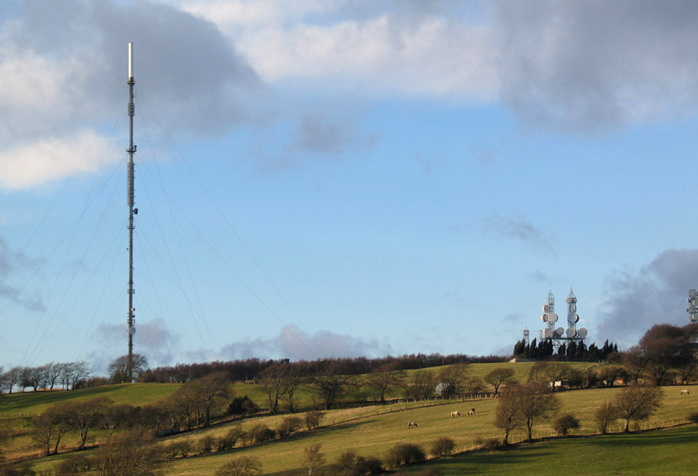
Annfield Plain is a village in County Durham, in England. It is situated on a plateau between the towns of Stanley, to the north-east, and Consett, to the west. According to the 2001 census, Annfield Plain has a population of 3,569. By the time of the 2011 Census Annfield Plain had become a ward of Stanley parish. The ward had a population of 10,012. Along with much of the surrounding area, Annfield Plain's history lies in coal mining. While the industry collapsed in the 1980s and 90s, its effects are still apparent both in the landscape and in folk memory. Much of the surrounding landscape is rough moorland, dominated by the nearby Pontop Pike television mast. Not far from semi-rural Derwentside, however, is the Tyneside–Wearside conurbation, with Newcastle away, and Sunderland a similar distance. The cathedral city of Durham is away and offers quite a contrast to the former pit villages in the area of Annfield Plain. Name "Anfield", as the name was originally ... [...More Info...] [...Related Items...] OR: [Wikipedia] [Google] [Baidu] |
Abbotstown Cemetery 2021
Abbotstown is a townland in the civil parish of Castleknock in Fingal, Ireland. - Abbotstown townland It is also the name of an historical demesne and country estate that is close to . Historically the estate belonged to a number of aristocratic families. When these neighbouring families intermarried, their combined estates in Abbotstown and the townland of Sheephill were usually, though informally, called "Abbotstown". Despite a significant level of suburban development in the wider |
Túath
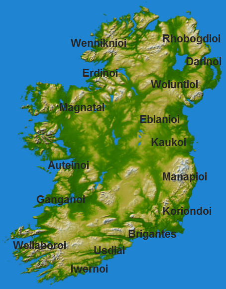
''Túath'' (plural ''túatha'') is the Old Irish term for the basic political and jurisdictional unit of Gaelic Ireland. ''Túath'' can refer to both a geographical territory as well the people who lived in that territory. Social structure In ancient Irish terms, a household was reckoned at about 30 people per dwelling. A ''trícha cét'' ("thirty hundreds"), was an area comprising 100 dwellings or, roughly, 3,000 people. A ''túath'' consisted of a number of allied ''trícha céta'', and therefore referred to no fewer than 6,000 people. Probably a more accurate number for a ''túath'' would be no fewer than 9,000 people. Each ''túath'' was a self-contained unit, with its own executive, assembly, courts system and defence force. ''Túatha'' were grouped together into confederations for mutual defence. There was a hierarchy of ''túatha'' statuses, depending on geographical position and connection to the ruling dynasties of the region. The organisation of ''túatha'' is covered ... [...More Info...] [...Related Items...] OR: [Wikipedia] [Google] [Baidu] |
Gaels
The Gaels ( ; ga, Na Gaeil ; gd, Na Gàidheil ; gv, Ny Gaeil ) are an ethnolinguistic group native to Ireland, Scotland and the Isle of Man in the British Isles. They are associated with the Gaelic languages: a branch of the Celtic languages comprising Irish, Manx and Scottish Gaelic. Gaelic language and culture originated in Ireland, extending to Dál Riata in western Scotland. In antiquity, the Gaels traded with the Roman Empire and also raided Roman Britain. In the Middle Ages, Gaelic culture became dominant throughout the rest of Scotland and the Isle of Man. There was also some Gaelic settlement in Wales, as well as cultural influence through Celtic Christianity. In the Viking Age, small numbers of Vikings raided and settled in Gaelic lands, becoming the Norse-Gaels. In the 9th century, Dál Riata and Pictland merged to form the Gaelic Kingdom of Alba. Meanwhile, Gaelic Ireland was made up of several kingdoms, with a High King often claiming lordship over ... [...More Info...] [...Related Items...] OR: [Wikipedia] [Google] [Baidu] |
Norman Invasion Of Ireland
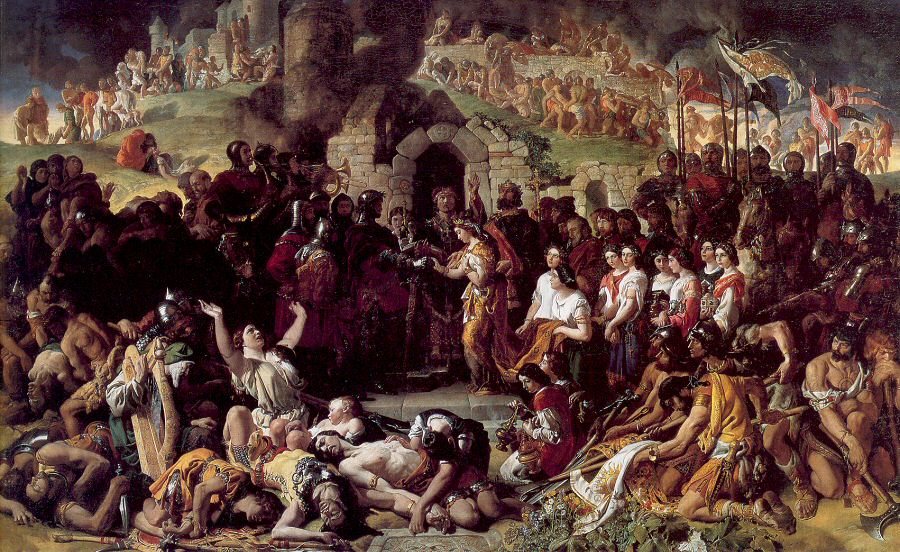
The Anglo-Norman invasion of Ireland took place during the late 12th century, when Anglo-Normans gradually conquered and acquired large swathes of land from the Irish, over which the kings of England then claimed sovereignty, all allegedly sanctioned by the Papal bull ''Laudabiliter''. At the time, Gaelic Ireland was made up of several kingdoms, with a High King claiming lordship over most of the other kings. The Norman invasion was a watershed in Ireland's history, marking the beginning of more than 800 years of direct English and, later, British, involvement in Ireland. In May 1169, Anglo-Norman mercenaries landed in Ireland at the request of Diarmait mac Murchada (Dermot MacMurragh), the deposed King of Leinster, who sought their help in regaining his kingship. They achieved this within weeks and raided neighbouring kingdoms. This military intervention was sanctioned by King Henry II of England. In return, Diarmait had sworn loyalty to Henry and promised land to the Normans ... [...More Info...] [...Related Items...] OR: [Wikipedia] [Google] [Baidu] |
Fingal County Council
Fingal County Council ( ga, Comhairle Contae Fhine Gall) is the authority responsible for local government in the county of Fingal, Ireland. It is one of three local authorities that comprised the former Dublin County Council before its abolition on 1 January 1994 and is one of four local authorities in County Dublin. As a county council, it is governed by the Local Government Act 2001. The council is responsible for housing and community, roads and transport, urban planning and development, amenity and culture, and environment. The council has 40 elected members. Elections are held every five years and are by single transferable vote. The head of the council has the title of Mayor. The county administration is headed by a Chief Executive, AnnMarie Farrelly. The county town is Swords. History Fingal County Council came into being on 1 January 1994. The county council initially met at the former offices of the abolished Dublin County Council, an office block at 46-49 O'Conne ... [...More Info...] [...Related Items...] OR: [Wikipedia] [Google] [Baidu] |
River Liffey
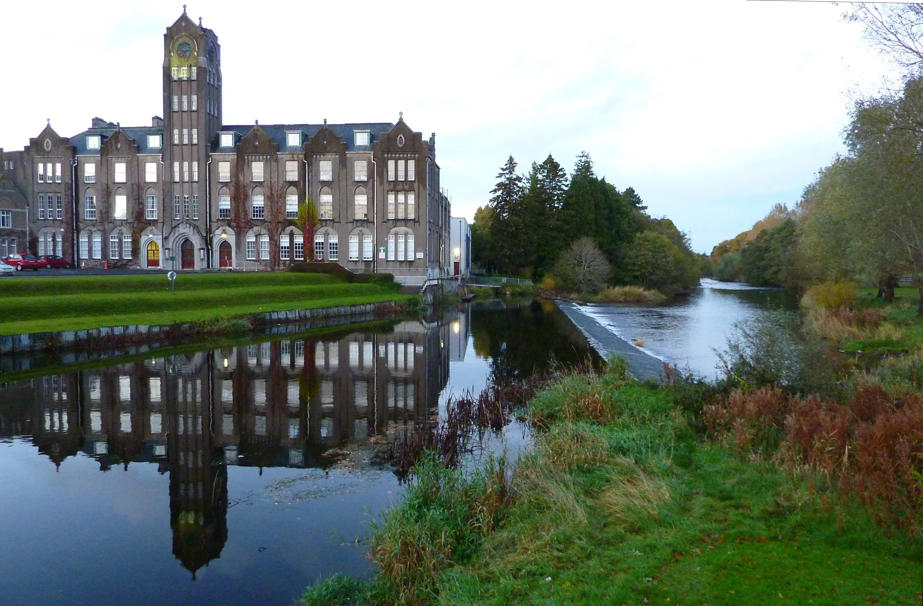
The River Liffey (Irish: ''An Life'', historically ''An Ruirthe(a)ch'') is a river in eastern Ireland that ultimately flows through the centre of Dublin to its mouth within Dublin Bay. Its major tributaries include the River Dodder, the River Poddle and the River Camac. The river supplies much of Dublin's water and supports a range of recreational activities. Name Ptolemy's ''Geography'' (2nd century AD) described a river, perhaps the Liffey, which he labelled Οβοκα (''Oboka''). Ultimately this led to the name of the River Avoca in County Wicklow. The Liffey was previously named ''An Ruirthech'', meaning "fast (or strong) runner". The word ''Liphe'' (or ''Life'') referred originally to the name of the plain through which the river ran, but eventually came to refer to the river itself. The word may derive from the same root as Welsh ''llif'' (flow, stream), namely Proto-Indo-European ''lē̆i-4'', but Gearóid Mac Eoin has more recently proposed that it may derive from a n ... [...More Info...] [...Related Items...] OR: [Wikipedia] [Google] [Baidu] |
Dublin (barony)
Dublin ( ga, Barúntacht Bhaile Átha Cliath Placenames Database of Ireland.) is one of the Barony (Ireland), baronies of , an historical geographical unit of land. Its chief town is Donnybrook. It was created by the 1840 Acts from lands that were previously in the county of the [...More Info...] [...Related Items...] OR: [Wikipedia] [Google] [Baidu] |
Nethercross
Nethercross ( ga, An Chrois Íochtarach ) is a feudal title of one of the baronies of Ireland. Originally part of the Lordship of Meath, it was then constituted as part of the old county of Dublin. Today, it lies in the modern county of Fingal. The barony was created by Hugh de Lacy, Lord of Meath as his own feudal barony, held directly from himself '' in capite'', and so once constituted a feudal title. His vassals were commonly called "De Lacy's Barons". The barony is named from the cross of the abbey said to have been founded by St. Cainnech in 560 A.D. The cross may today be seen in the old graveyard of the ecclesiastical parish of St Canice in Finglas. The town with the biggest population in the barony is Swords. Location It is one of seven and a half baronies that used to comprise the old county of Dublin. It stretches from Portrane to the M2 motorway (from east to west) and from Belinstown on the M1 motorway to Swords (from north to south). It is located between the bar ... [...More Info...] [...Related Items...] OR: [Wikipedia] [Google] [Baidu] |
Coolock (barony)
Coolock () is one of the baronies of Ireland. It was constituted as part of the old county of Dublin. Today, it covers much of the northern parts of the city of Dublin and the south-eastern part of the modern county of Fingal. At the heart of the barony is the civil parish of the same name - Coolock - which is one of twenty civil parishes in the barony. Legal context and history Baronies were created after the Norman invasion of Ireland as subdivisions of counties and were used for administration. While baronies continue to be officially defined units, they are no longer used for many administrative purposes. They have been administratively obsolete since 1898. Nevertheless, they continue to be used in land registration and specification such as in planning permissions. In many cases, a barony corresponds to an earlier Gaelic túath which had submitted to the Crown. However, the status of barony is still used in modern times Location It is one of seven and a half baronies that u ... [...More Info...] [...Related Items...] OR: [Wikipedia] [Google] [Baidu] |


.jpg)


