|
Bangoka International Airport
Not to be confused with Bangkok Suvarnabhumi Airport or Bangkok Don Mueang International Airport Kisangani Bangoka International Airport is an airport serving Kisangani, Democratic Republic of the Congo. The airport is east of the city. The Bangoka VOR/DME (Ident: KGI) is west of the airport. Airlines and destinations Accidents and incidents * On July 8, 2011, Hewa Bora Airways Flight 952, operated by a Boeing 727, crashed on landing. 74 of the 118 on board died. See also *Transport in the Democratic Republic of the Congo *List of airports in the Democratic Republic of the Congo References External linksBangoka Airportat OpenStreetMap OpenStreetMap (OSM) is a free, open geographic database updated and maintained by a community of volunteers via open collaboration. Contributors collect data from surveys, trace from aerial imagery and also import from other freely licensed g ... * * Airports in Tshopo Kisangani {{DRCongo-airport-stub ... [...More Info...] [...Related Items...] OR: [Wikipedia] [Google] [Baidu] |
Kisangani
Kisangani (formerly Stanleyville or Stanleystad) is the capital of Tshopo province in the Democratic Republic of the Congo. It is the fifth most populous urban area in the country, with an estimated population of 1,312,000 in 2021, and the largest of the cities that lie in the tropical woodlands of the Congo. Some from the mouth of the Congo River, Kisangani is the farthest navigable point upstream. Kisangani is the nation's most important inland port after Kinshasa, an important commercial hub point for river and land transportation and a major marketing and distribution centre for the north-eastern part of the country. It has been the commercial capital of the northern Congo since the late 19th century. History Before Henry Morton Stanley, working on behalf of King Leopold II of the Belgians, founded what would become Stanley Falls Station in 1883, on the Island of Wana Rusari in the Congo River, the area was inhabited by a native Congolese tribe known as the Clans of ... [...More Info...] [...Related Items...] OR: [Wikipedia] [Google] [Baidu] |
Congo Airways
Congo Airways S.A. is the State ownership, state-owned flag carrier airline of the Democratic Republic of the Congo (DRC). With a paid-up capital of United States dollar, US$90 million, it started operations on 20 October 2015. History Congo Airways was created on 15 August 2014 at the government's instigation, and made its first flight on 20 October 2015 using two Airbus A320 aircraft acquired from Alitalia. The company initially served Congolese destinations from its base at N'djili Airport in Kinshasa, and has plans to increase its fleet and serve regional and international markets. Air France Consulting provided technical assistance to the airline. One of the airline's aircraft was impounded in Dublin for a few weeks in September 2015 where it was to be painted. On 10 December 2019, Congo Airways signed a $194.4 million deal to acquire two E175 jets from Embraer. The jets are expected to be delivered in Calendar year#Quarters, Q4 2020. On 26 May 2020, Congo Airways h ... [...More Info...] [...Related Items...] OR: [Wikipedia] [Google] [Baidu] |
OpenStreetMap
OpenStreetMap (OSM) is a free, open geographic database updated and maintained by a community of volunteers via open collaboration. Contributors collect data from surveys, trace from aerial imagery and also import from other freely licensed geodata sources. OpenStreetMap is freely licensed under the Open Database License and as a result commonly used to make electronic maps, inform turn-by-turn navigation, assist in humanitarian aid and data visualisation. OpenStreetMap uses its own topology to store geographical features which can then be exported into other GIS file formats. The OpenStreetMap website itself is an online map, geodata search engine and editor. In 2004, OpenStreetMap was created by Steve Coast in response to the Ordnance Survey, the United Kingdom's national mapping agency, failing to release its data to the public and under free licences. Initially, maps were created only via GPS traces, but it was quickly populated by importing public domain geographical ... [...More Info...] [...Related Items...] OR: [Wikipedia] [Google] [Baidu] |
List Of Airports In The Democratic Republic Of The Congo ...
This is a list of airports in the Democratic Republic of the Congo, sorted by location. Airports Airport names shown in bold indicate the airport has scheduled service on commercial airlines. See also * Transport in the Democratic Republic of the Congo * List of airports by ICAO code: F#FZ - Democratic Republic of the Congo (DRC), formerly known as Zaire * Wikipedia: WikiProject Aviation/Airline destination lists: Africa#Congo, Democratic Republic of the References * * * External links * Lists of airports in the Democratic Republic of the Congo: *Great Circle Mapper*World Aero Data* {{DRC topics Congo Airports Airports Congo, Democratic Republic of the The Democratic Republic of the Congo (french: République démocratique du Congo (RDC), colloquially "La RDC" ), informally Congo-Kinshasa, DR Congo, the DRC, the DROC, or the Congo, and formerly and also colloquially Zaire, is a country in ... [...More Info...] [...Related Items...] OR: [Wikipedia] [Google] [Baidu] |
Transport In The Democratic Republic Of The Congo
Ground transport in the Democratic Republic of the Congo (DRC) has always been difficult. The terrain and climate of the Congo Basin present serious barriers to road and rail construction, and the distances are enormous across this vast country. Furthermore, chronic economic mismanagement and internal conflict has led to serious under-investment over many years. On the other hand, the DRC has thousands of kilometres of navigable waterways, and traditionally water transport has been the dominant means of moving around approximately two-thirds of the country. Transport problems As an illustration of transport difficulties in the DRC, even before wars damaged the infrastructure, the so-called "national" route, used to get supplies to Bukavu from the seaport of Matadi, consisted of the following: *Matadi to Kinshasa – rail *Kinshasa to Kisangani – river boat *Kisangani to Ubundu – rail *Ubundu to Kindu – river boat *Kindu to Kalemie – rail *Kalemie to Kalundu (the lake po ... [...More Info...] [...Related Items...] OR: [Wikipedia] [Google] [Baidu] |
Hewa Bora Airways Flight 952
On 8 July 2011, Hewa Bora Airways Flight 952, a Boeing 727 passenger jet on a domestic flight from Kinshasa, to Kisangani, Democratic Republic of the Congo (DRC), crashed on final approach at Kisangani, killing 74 of the 118 people on board. Accident Hewa Bora Airways Flight 952 had taken off on 8 July from Kinshasa's N'djili Airport with 112 passengers and 6 crew on board bound for Kisangani Airport. At around 15:00 local time, the aircraft attempted an approach reportedly to Kisangani's runway 13, but the approach was discontinued. The aircraft then approached the opposite runway 31, but impacted terrain about from the runway threshold. At the time, thunderstorms and poor visibility were reported in the area, and Kisangani Airport had no official instrument approach procedure published, although a VOR/DME procedure was available commercially. Reports on the number of casualties initially varied, with the final toll reaching 74 fatalities and 44 injuries. Aircraft The aircr ... [...More Info...] [...Related Items...] OR: [Wikipedia] [Google] [Baidu] |
1997 Kisangani-Bangoka Airfield Map Txu-oclc-55793016
File:1997 Events Collage.png, From left, clockwise: The movie set of ''Titanic (1997 film), Titanic'', the List of highest-grossing films, highest-grossing movie in history at the time; ''Harry Potter and the Philosopher's Stone'', is published; Comet Hale-Bopp passes by Earth and becomes one of the most observed comet, comets of the 20th century; Golden Bauhinia Square, where sovereignty of Hong Kong is Handover of Hong Kong, handed over from the United Kingdom to the People's Republic of China; the 1997 Central European flood kills 114 people in the Czech Republic, Poland, and Germany; Korean Air Flight 801 crashes during heavy rain on Guam, killing 229; Mars Pathfinder and Sojourner (rover), Sojourner land on Mars; flowers left outside Kensington Palace following the death of Diana, Princess of Wales, in a car crash in Paris., 300x300px, thumb rect 0 0 200 200 Titanic (1997 film) rect 200 0 400 200 Harry Potter rect 400 0 600 200 Comet Hale-Bopp rect 0 200 300 400 Death of Diana ... [...More Info...] [...Related Items...] OR: [Wikipedia] [Google] [Baidu] |
Addis Ababa Bole International Airport
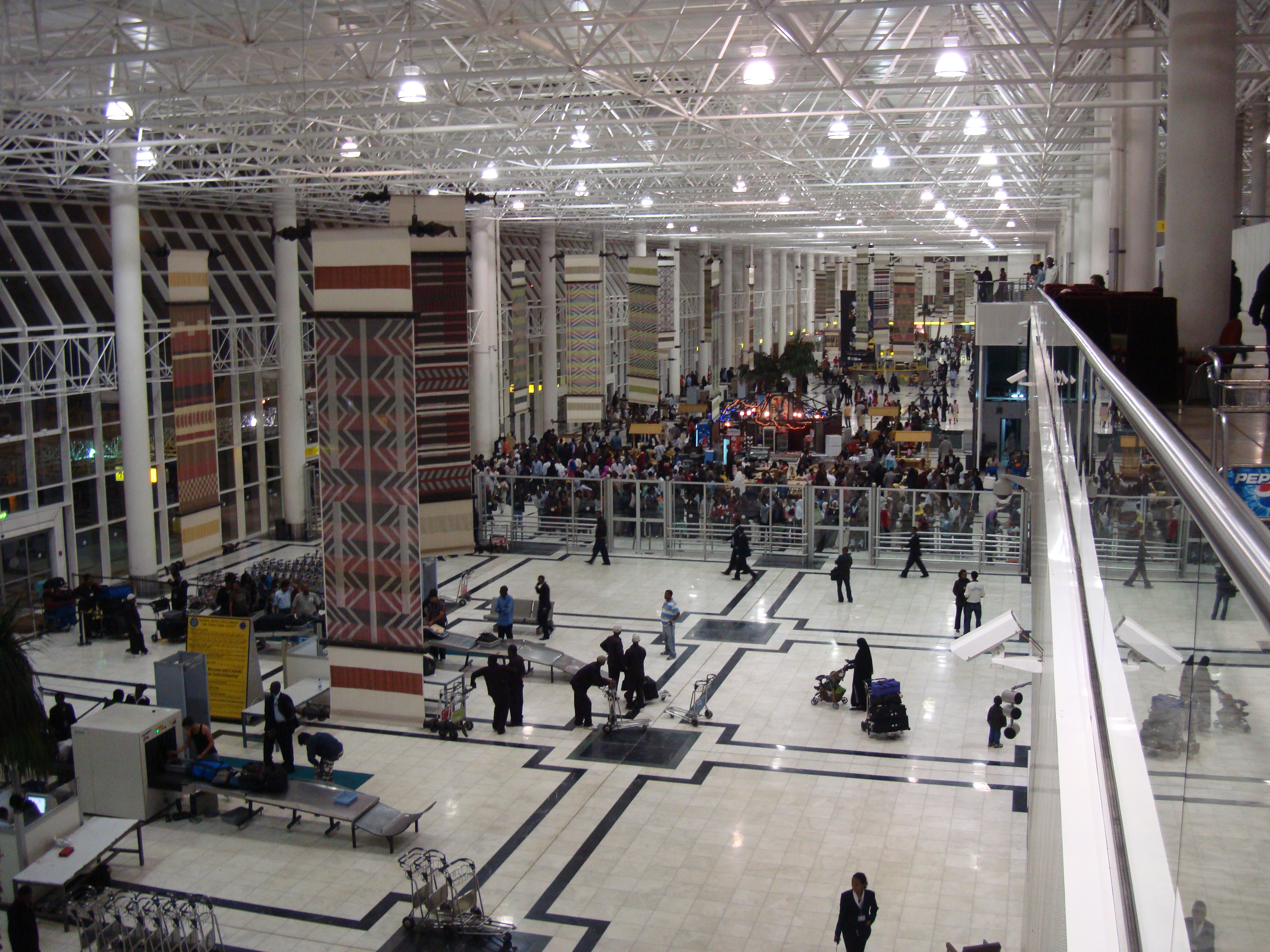
Addis Ababa Bole International Airport is an international airport in Addis Ababa, Ethiopia. It is in the Bole district, southeast of the city centre and north of Bishoftu. The airport was formerly known as ''Haile Selassie I International Airport''. It is the main hub of Ethiopian Airlines, the national airline that serves destinations in Ethiopia and throughout the African continent, as well as nonstop service to Asia, Europe, North America and South America. The airport is also the base of the Ethiopian Aviation Academy. As of June 2018, nearly 450 flights per day were departing from and arriving at the airport. History In 1960, Ethiopian Airlines realized the runway at Lidetta was too short for its new jet aircraft, the Boeing 720. Thus a new airport was built at Bole. By December 1962 the new runway and control tower were operational. In 1997, an expansion plan was announced for the airport. This expansion was done in three phases: * Phase One: Adding a parallel r ... [...More Info...] [...Related Items...] OR: [Wikipedia] [Google] [Baidu] |
Ethiopian Airlines
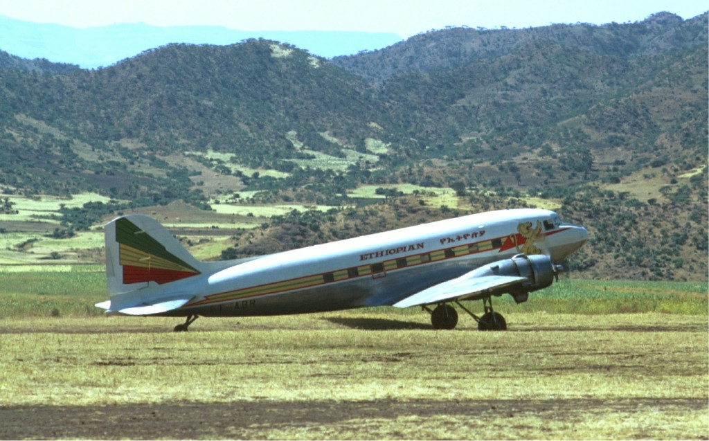
Ethiopian Airlines (commonly referred to as Ethiopian; am, የኢትዮጵያ አየር መንገድ, translit=Ye-Ītyōṗṗyā āyer menged), formerly ''Ethiopian Air Lines'' (EAL), is the flag carrier of Ethiopia, and is wholly owned by the country's government. EAL was founded on 21 December 1945 and commenced operations on 8 April 1946, expanding to international flights in 1951. The firm became a share company in 1965 and changed its name from ''Ethiopian Air Lines'' to ''Ethiopian Airlines''. The airline has been a member of the International Air Transport Association since 1959 and of the African Airlines Association (AFRAA) since 1968. Ethiopian is a Star Alliance member, having joined in . The company slogan is ''The New Spirit of Africa.'' Ethiopian's hub and headquarters are at Bole International Airport in Addis Ababa, from where it serves a network of 125 passenger destinations—20 of them domestic—and 44 freighter destinations. The airline has secondary h ... [...More Info...] [...Related Items...] OR: [Wikipedia] [Google] [Baidu] |
N'djili Airport
N'djili Airport (french: Aéroport de N'djili ), also known as N'Djili International Airport and Kinshasa International Airport, serves the city of Kinshasa and is the largest of the four international airports in the Democratic Republic of the Congo (DRC). It is named after the nearby Ndjili River. History The airport was inaugurated in 1953. In 1998, N'Djili airport was the site of Operation Kitona, one of the decisive battles of the Second Congo War. Rebel forces advancing on Kinshasa infiltrated the airport perimeter but were repelled by Zimbabwean troops and aircraft arriving to support the government of Laurent Kabila. In June 2015, a new international terminal was opened which can service one million passengers per year. Some computerized upgrades to the arrivals terminal have been implemented in recent years, although corruption remains a problem. Airlines and destinations Passenger Cargo Accidents and incidents * On 18 August 1968, Douglas DC-3D 9Q-CUM of ... [...More Info...] [...Related Items...] OR: [Wikipedia] [Google] [Baidu] |
Democratic Republic Of The Congo
The Democratic Republic of the Congo (french: République démocratique du Congo (RDC), colloquially "La RDC" ), informally Congo-Kinshasa, DR Congo, the DRC, the DROC, or the Congo, and formerly and also colloquially Zaire, is a country in Central Africa. It is bordered to the northwest by the Republic of the Congo, to the north by the Central African Republic, to the northeast by South Sudan, to the east by Uganda, Rwanda, and Burundi, and by Tanzania (across Lake Tanganyika), to the south and southeast by Zambia, to the southwest by Angola, and to the west by the South Atlantic Ocean and the Cabinda exclave of Angola. By area, it is the second-largest country in Africa and the 11th-largest in the world. With a population of around 108 million, the Democratic Republic of the Congo is the most populous officially Francophone country in the world. The national capital and largest city is Kinshasa, which is also the nation's economic center. Centered on the Cong ... [...More Info...] [...Related Items...] OR: [Wikipedia] [Google] [Baidu] |
Kindu Airport
Kindu Airport is an airport serving the Lualaba River port of Kindu, Democratic Republic of the Congo. The Kindu VOR/DME (Ident: KIN) is located west of the airport. Airlines and destinations See also * * *Transport in the Democratic Republic of the Congo *List of airports in the Democratic Republic of the Congo *Kindu atrocity References External linksKindu Airportat OpenStreetMap OpenStreetMap (OSM) is a free, open geographic database updated and maintained by a community of volunteers via open collaboration. Contributors collect data from surveys, trace from aerial imagery and also import from other freely licensed g ...Kindu Airportat OurAirports *at FallingRain * Kindu Airports in Maniema {{DRCongo-airport-stub ... [...More Info...] [...Related Items...] OR: [Wikipedia] [Google] [Baidu] |


