|
Balbridie
Balbridie is the site of a Neolithic long house in Aberdeenshire, Scotland, situated on the south bank of the River Dee, east of Banchory. The site is one of the earliest known permanent Neolithic settlements in Scotland, dating from 3400 to 4000 BC. This is the largest Neolithic long house to be excavated in Britain. In a European context, Whittle has indicated the rarity of such large Neolithic timber houses, citing Balbridie, a hall in Cambridgeshire, and Fengate as a small set of such finds. Neolithic features found in a later excavation at Dreghorn included post holes indicating a large rectangular structure comparable to Balbridie. In 2022, a study of nitrogen content ancient grain at the site by the University of Stavanger and Durham University published in the journal ''Antiquity'' revealed details of neolithic farming techniques at the site suggesting that manure was not used in the area because of the quality of its soil. Discovery The Balbridie site was disco ... [...More Info...] [...Related Items...] OR: [Wikipedia] [Google] [Baidu] |
Coy Burn
Coy Burn is a stream that rises in the hills north of Banchory in Aberdeenshire, Scotland. Coy Burn discharges to the River Dee at Milton of Crathes. History The Coy Burn along with certain other natural waters of Scotland has been under study for its role in Salmon spawning. A number of prehistorical features lie nearby including Balbridie and Bucharn to the south of the River Dee. Vicinity historical features include Crathes Castle, Maryculter House and Muchalls Castle. See also *Balbridie Balbridie is the site of a Neolithic long house in Aberdeenshire, Scotland, situated on the south bank of the River Dee, east of Banchory. The site is one of the earliest known permanent Neolithic settlements in Scotland, dating from 3400 to 40 ... References Rivers of Aberdeenshire {{Scotland-river-stub ... [...More Info...] [...Related Items...] OR: [Wikipedia] [Google] [Baidu] |
Cambridgeshire
Cambridgeshire (abbreviated Cambs.) is a Counties of England, county in the East of England, bordering Lincolnshire to the north, Norfolk to the north-east, Suffolk to the east, Essex and Hertfordshire to the south, and Bedfordshire and Northamptonshire to the west. The city of Cambridge is the county town. Following the Local Government Act 1972 restructuring, modern Cambridgeshire was formed in 1974 through the amalgamation of two administrative counties: Cambridgeshire and Isle of Ely, comprising the Historic counties of England, historic county of Cambridgeshire (including the Isle of Ely); and Huntingdon and Peterborough, comprising the historic county of Huntingdonshire and the Soke of Peterborough, historically part of Northamptonshire. Cambridgeshire contains most of the region known as Silicon Fen. The county is now divided between Cambridgeshire County Council and Peterborough City Council, which since 1998 has formed a separate Unitary authorities of England, unita ... [...More Info...] [...Related Items...] OR: [Wikipedia] [Google] [Baidu] |
Banchory
Banchory (, sco, Banchry, gd, Beannchar) is a burgh or town in Aberdeenshire, Scotland. It is about west of Aberdeen, near where the Feugh River meets the River Dee. Prehistory and archaeology In 2009, a farmer discovered a short cist burial to the east of the town. Archaeologists were called into excavate it and they found that it was a burial from the Beaker culture. Radiocarbon dating put the burial at sometime between 2330 and 2040 BC. Stable isotope analysis of the human remains indicated that he or she grew up on basalt geology, like that of the region, or on chalk, meaning they were either local or could have come from another place, like Yorkshire. Residue analysis of the Beaker pot found in the burial established that it had held either butter or milk. History The name is thought to be derived from an early Christian settlement founded by St Ternan. It is claimed that Ternan was a follower of St Ninian. Tradition has it that he established his settlement o ... [...More Info...] [...Related Items...] OR: [Wikipedia] [Google] [Baidu] |
Dreghorn
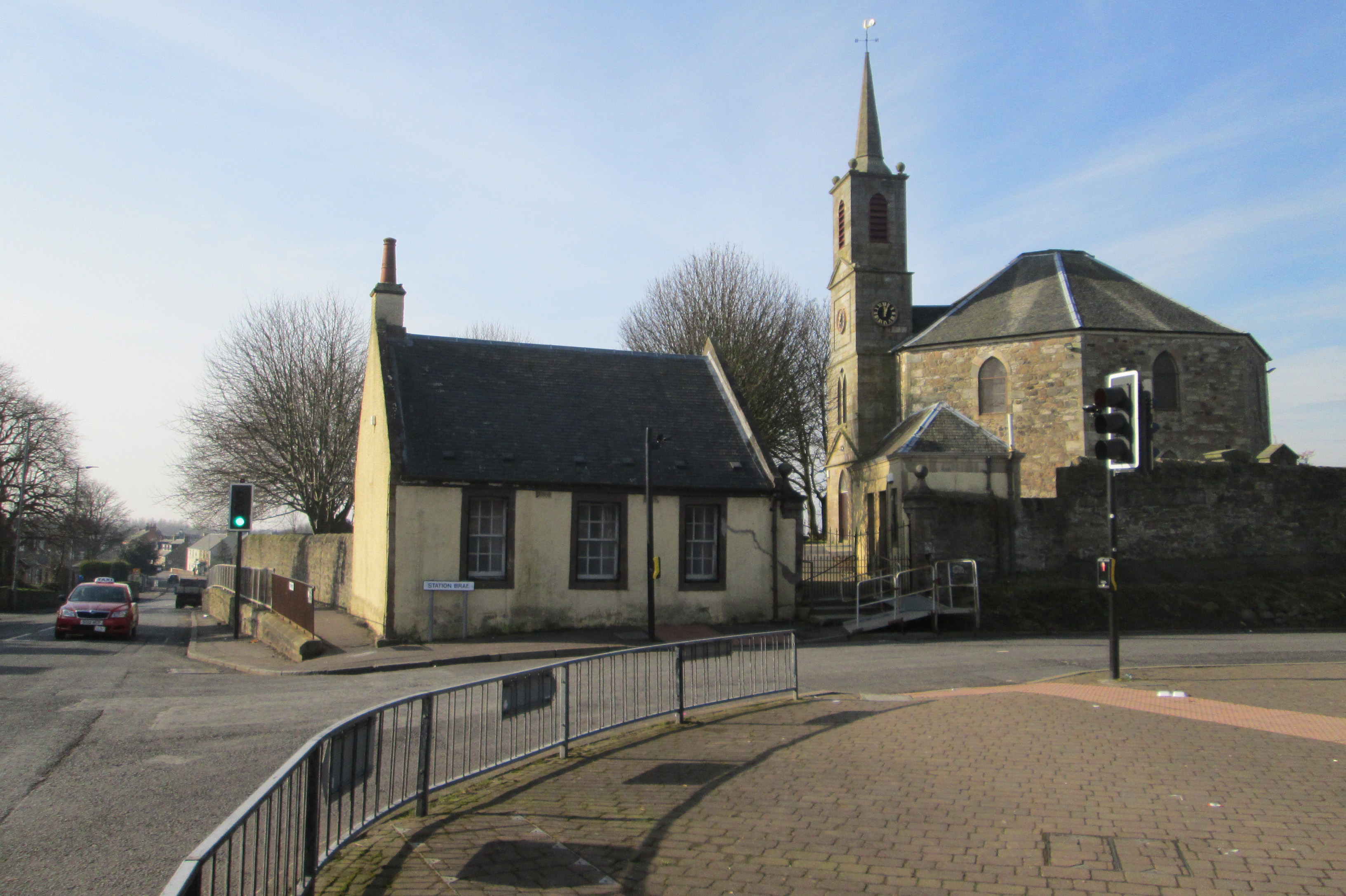
Dreghorn is a village in North Ayrshire, Scotland, east of Irvine town centre, on the old main road from Irvine to Kilmarnock. It is sited on a ridge between two rivers. As archaeological excavations near the village centre have found a significant neolithic settlement provisionally dated to around 3500 BC, as well as medieval structures, scholars have suggested that Dreghorn could be Britain's oldest continuously inhabited village. Both Irvine and Dreghorn have grown in size and they are now separated by the Annick Valley Park, which incorporates a footpath and National Cycle Route 73 on the route of the disused Irvine to Busby railway line. It had an estimated population of in . The Church of Scotland Dreghorn and Springside Parish Church, at the centre of the village, dates from 1780. Its octagonal plan, which is unusual in Scotland, was produced by the church's principal benefactor, Archibald Montgomerie, 11th Earl of Eglinton. The village's most famous inhabitant, J ... [...More Info...] [...Related Items...] OR: [Wikipedia] [Google] [Baidu] |
Fengate
Fengate is a predominantly industrial area of the city of Peterborough, in the Peterborough district, in the ceremonial county of Cambridgeshire, England. For electoral purposes it forms part of Peterborough East ward. The industrial estate is known as Eastern Industry. Peterborough Power Station is located here. Flag Fen, the Bronze Age archaeological site, was discovered here in 1982 when a team led by Dr. Francis Pryor carried out a survey of dykes in the area. Probably religious, it comprises many poles arranged in five long rows, connecting Whittlesey with Peterborough across the wet fenland. This structure has been compared in rarity and importance to the Balbridie site in Aberdeenshire. The museum exhibits many of the artefacts found, including what is believed to be the oldest wheel in Britain. An exposed section of the Roman road known as the Fen Causeway Fen Causeway or the Fen Road is the modern name for a Roman road of England that runs between Denver, Norfo ... [...More Info...] [...Related Items...] OR: [Wikipedia] [Google] [Baidu] |
Neolithic Long House
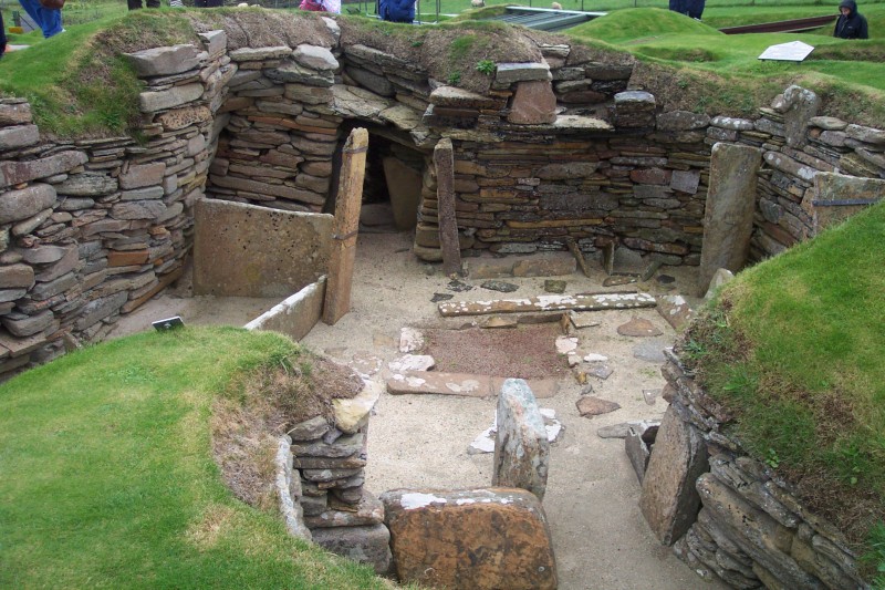
The Neolithic long house was a long, narrow timber dwelling built by the first farmers in Europe beginning at least as early as the period 5000 to 6000 BC. They first appeared in central Europe in connection with the early Neolithic cultures such as the Linear Pottery culture or Cucuteni culture. This type of architecture represents the largest free-standing structure in the world in its era. Long houses are present across numerous regions and time periods in the archaeological record. The long house was a rectangular structure, 5.5 to 7.0 m wide, of variable length, around 20 m up to 45 m. Outer walls were wattle and daub, sometimes alternating with split logs, with pitched, thatched roofs, supported by rows of poles, three across.The numbers are from Gimbutas (1991) pages 39–41. However, they are approximately the same as the numbers given by other researchers and can therefore be taken as true measurements within a tolerance. The exterior walls would have been quite short be ... [...More Info...] [...Related Items...] OR: [Wikipedia] [Google] [Baidu] |
Neolithic Scotland
Archaeology and geology continue to reveal the secrets of prehistoric Scotland, uncovering a complex past before the Romans brought Scotland into the scope of recorded history. Successive human cultures tended to be spread across Europe or further afield, but focusing on this particular geographical area sheds light on the origin of the widespread remains and monuments in Scotland, and on the background to the history of Scotland. The extent of open countryside untouched by intensive farming, together with past availability of stone rather than timber, has given Scotland a wealth of accessible sites where the ancient past can be seen. The remote prehistory of Scotland Scotland is geologically alien to Europe, comprising a sliver of the ancient continent of Laurentia (which later formed the bulk of North America). During the Cambrian period the crustal region which became Scotland formed part of the continental shelf of Laurentia, then still south of the equator. Laurentia was s ... [...More Info...] [...Related Items...] OR: [Wikipedia] [Google] [Baidu] |
Cropmark
Cropmarks or crop marks are a means through which sub-surface archaeological, natural and recent features may be visible from the air or a vantage point on higher ground or a temporary platform. Such marks, along with parch marks, soil marks and frost marks, can reveal buried archaeological sites that are not visible from the ground. Description Crop marks are due to the principle of differential growth. One of the factors controlling the growth of vegetation is the condition of the soil. A buried stone wall, for example, will affect crop growth above it, as its presence channels water away from its area and occupies the space of the more fertile soil. Conversely, a buried ditch, with a fill containing more organic matter than the natural earth, provides much more conducive conditions and water will naturally collect there, nourishing the plants growing above. The differences in conditions will cause some plants to grow more strongly and therefore taller, and others less str ... [...More Info...] [...Related Items...] OR: [Wikipedia] [Google] [Baidu] |
Cambridge University Press
Cambridge University Press is the university press of the University of Cambridge. Granted letters patent by Henry VIII of England, King Henry VIII in 1534, it is the oldest university press A university press is an academic publishing house specializing in monographs and scholarly journals. Most are nonprofit organizations and an integral component of a large research university. They publish work that has been reviewed by schola ... in the world. It is also the King's Printer. Cambridge University Press is a department of the University of Cambridge and is both an academic and educational publisher. It became part of Cambridge University Press & Assessment, following a merger with Cambridge Assessment in 2021. With a global sales presence, publishing hubs, and offices in more than 40 Country, countries, it publishes over 50,000 titles by authors from over 100 countries. Its publishing includes more than 380 academic journals, monographs, reference works, school and uni ... [...More Info...] [...Related Items...] OR: [Wikipedia] [Google] [Baidu] |
Wiley-Blackwell
Wiley-Blackwell is an international scientific, technical, medical, and scholarly publishing business of John Wiley & Sons. It was formed by the merger of John Wiley & Sons Global Scientific, Technical, and Medical business with Blackwell Publishing in 2007.About Wiley-Blackwell John Wiley & Sons, Inc. Wiley-Blackwell is now an imprint that publishes a diverse range of academic and professional fields, including , , , |
Posthole
In archaeology a posthole or post-hole is a cut feature used to hold a surface timber or stone. They are usually much deeper than they are wide; however, truncation may not make this apparent. Although the remains of the timber may survive, most postholes are mainly recognisable as circular patches of darker earth when viewed in plan. Archaeologists can use their presence to plot the layout of former structures, as the holes may define its corners and sides. Construction using postholes is known as earthfast or post in ground construction. Parts of a posthole Although a very common structure, and one of the most basic found in archaeology, correct interpretation relies on being able to tell the often subtle differences that distinguish the parts of the posthole. The components of an archaeological posthole are listed in order of creation and, in ideal circumstances, the reverse order of their excavation. ;Posthole cut This is the cut that formed the hole. It is cut from the ground ... [...More Info...] [...Related Items...] OR: [Wikipedia] [Google] [Baidu] |
.jpg)


