|
Aspudden
Aspudden (''Aspen cape'') is a district of the Hägersten-Liljeholmen borough in Söderort Söderort (literally "the southern place", sometimes translated to ''South Stockholm'') is the southern suburban part of the Stockholm Municipality, Sweden. It is also part of the city of Stockholm. Geography Söderort is located in the nor ..., the southern suburban part of Stockholm. Metro line 13 stops at Aspudden metro station. See also * Aspudden metro station * Geography of Stockholm Districts of Stockholm {{stockholm-geo-stub ... [...More Info...] [...Related Items...] OR: [Wikipedia] [Google] [Baidu] |
Hägersten-Liljeholmen
Hägersten-Liljeholmen is a Boroughs of Stockholm, borough (''stadsdelsområde'') in Stockholm, Sweden. It is part of the Söderort suburban area. The borough is located in South Stockholm. The districts that make up the borough are Aspudden, Fruängen, Gröndal, Hägersten, Hägerstensåsen, Liljeholmen, Midsommarkransen, Mälarhöjden, Västberga, and Västertorp. The population of Hägersten-Liljeholmen borough is 83,283 as of 2014. The borough was formed on January 1, 2007 by merging the Hägersten borough (Hägersten, Fruängen, Hägerstensåsen, Mälarhöjden and Västertorp) with Liljeholmen borough (Aspudden, Gröndal, Midsommarkransen, Västberga and a portion of Hägersten). Demographic history * The population of the Liljeholmen borough in 2004 was 30,450 on an area of 6.83 km², giving it a density of 4,458/km². * The population of Hägersten-Liljeholmen borough is 83,283 as of 2014. Sports The following sports clubs are located in Hägersten-Liljeholmen: * IF ... [...More Info...] [...Related Items...] OR: [Wikipedia] [Google] [Baidu] |
Aspudden Metro Station
Aspudden metro station is a station on Line 13 in the Stockholm metro, located in the district of Aspudden. The station was opened on 5 April 1964 as part of the first stretch of Metro 2, between T-Centralen T-Centralen (Swedish for "The T-Central"; T being an abbreviation for "tunnelbana", the Swedish word for "underground" or "subway") is a metro station that forms the heart of the Stockholm metro system, in the sense that it is the only station ... and Örnsberg, with a branch to Fruängen. References Red line (Stockholm metro) stations Railway stations opened in 1964 Stockholm metro stations located underground {{Stockholm-metro-stub ... [...More Info...] [...Related Items...] OR: [Wikipedia] [Google] [Baidu] |
Söderort
Söderort (literally "the southern place", sometimes translated to ''South Stockholm'') is the southern suburban part of the Stockholm Municipality, Sweden. It is also part of the city of Stockholm. Geography Söderort is located in the northern part of the Södertörn peninsula/island. The boroughs of Söderort are: Enskede-Årsta-Vantör, Farsta, Hägersten-Liljeholmen, Skärholmen, Skarpnäck and Älvsjö. History The main part of Söderort was annexed by the ''City of Stockholm'' in 1913. Before 2007, it was organized into eight ''stadsdelsområden'': Enskede-Årsta, Farsta, Hägersten, Liljeholmen, Skarpnäck, Skärholmen, Vantör and Älvsjö. Since 2007, Söderort is organized into six ''stadsdelsområden'' (sometimes translated to boroughs): Enskede-Årsta-Vantör, Farsta, Hägersten-Liljeholmen, Skarpnäck, Skärholmen, and Älvsjö.City of Stockholm"Stockholm by districts"/ref> Districts 1/ km²2/ Population per hectare See also * Stockholm City Centre ... [...More Info...] [...Related Items...] OR: [Wikipedia] [Google] [Baidu] |
Boroughs Of Stockholm
Municipalities in Sweden are in some rare cases divided into smaller districts (sometimes translated ''boroughs'') or urban districts, and are sometimes assigned administrative boards responsible for certain areas of governance in their respective areas. These districts are not specified by national Swedish law, but rather are created by individual municipalities, and thus the Swedish names of these districts vary greatly from municipality to municipality, including kommundelar, stadsdelar, stadsdelområden, primärområden, or stadsdelsnämndsområden. The degree of administrative autonomy of these districts similarly varies greatly, but is normally very limited. On 1 January 2016 a new form of division of Sweden was introduced. This division is called ''Districts'' or '' Registration districts'', in Swedish ''Distrikt''. These are used for certain administrative purposes by some national authorities, such as land ownership and statistics. This is not the same as the ''urban dist ... [...More Info...] [...Related Items...] OR: [Wikipedia] [Google] [Baidu] |
Stockholm
Stockholm () is the Capital city, capital and List of urban areas in Sweden by population, largest city of Sweden as well as the List of urban areas in the Nordic countries, largest urban area in Scandinavia. Approximately 980,000 people live in the Stockholm Municipality, municipality, with 1.6 million in the Stockholm urban area, urban area, and 2.4 million in the Metropolitan Stockholm, metropolitan area. The city stretches across fourteen islands where Mälaren, Lake Mälaren flows into the Baltic Sea. Outside the city to the east, and along the coast, is the island chain of the Stockholm archipelago. The area has been settled since the Stone Age, in the 6th millennium BC, and was founded as a city in 1252 by Swedish statesman Birger Jarl. It is also the county seat of Stockholm County. For several hundred years, Stockholm was the capital of Finland as well (), which then was a part of Sweden. The population of the municipality of Stockholm is expected to reach o ... [...More Info...] [...Related Items...] OR: [Wikipedia] [Google] [Baidu] |
Geography Of Stockholm
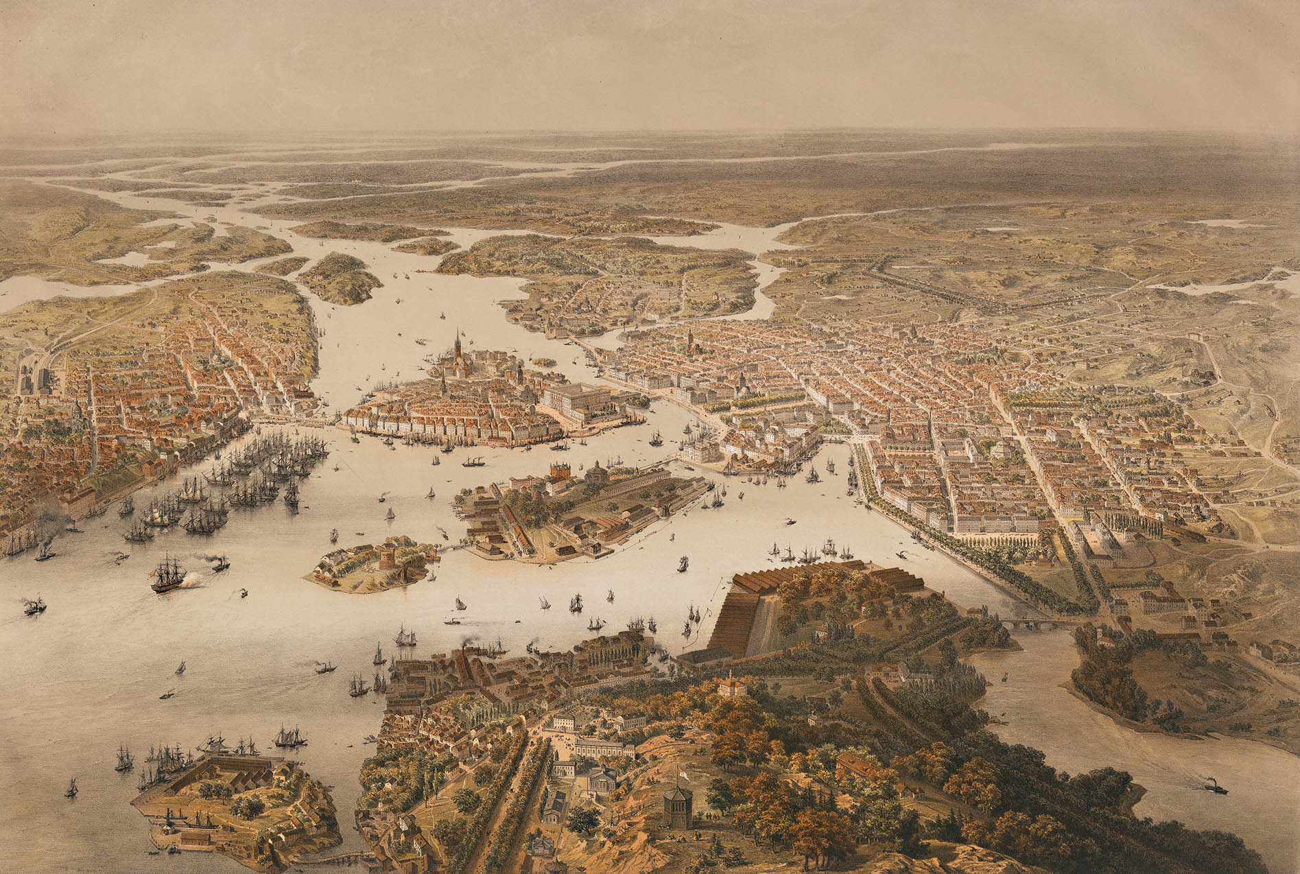
The City of Stockholm is situated on fourteen islands and on the banks to the archipelago where Lake Mälaren meets the Baltic Sea. The city centre is virtually situated on the water. The area of Stockholm is one of several places in Sweden with a joint valley terrain. In these landscapes erosion along geological joints has split the flattish upper surfaces into low-lying plateaus. In the case of Stockholm the plateau surfaces are remnants of the Sub-Cambrian peneplain. Islands and islets Extant islands and islets Historical islands and islets References: Dufwa, ''Stockholms tekniska historia'', pp 49-50, 149-150 Lakes and watercourses The access to fresh water is excellent in Stockholm today. Historically, lakes and watercourses were used as refuse dumps and latrines, causing epidemic cholera and many other diseases. By the 1860s water was being drawn from Årstaviken, the waters south of Södermalm, and was treated in the first water-purifying plant at Skanstull and ... [...More Info...] [...Related Items...] OR: [Wikipedia] [Google] [Baidu] |

