|
Arkansas Highway 395
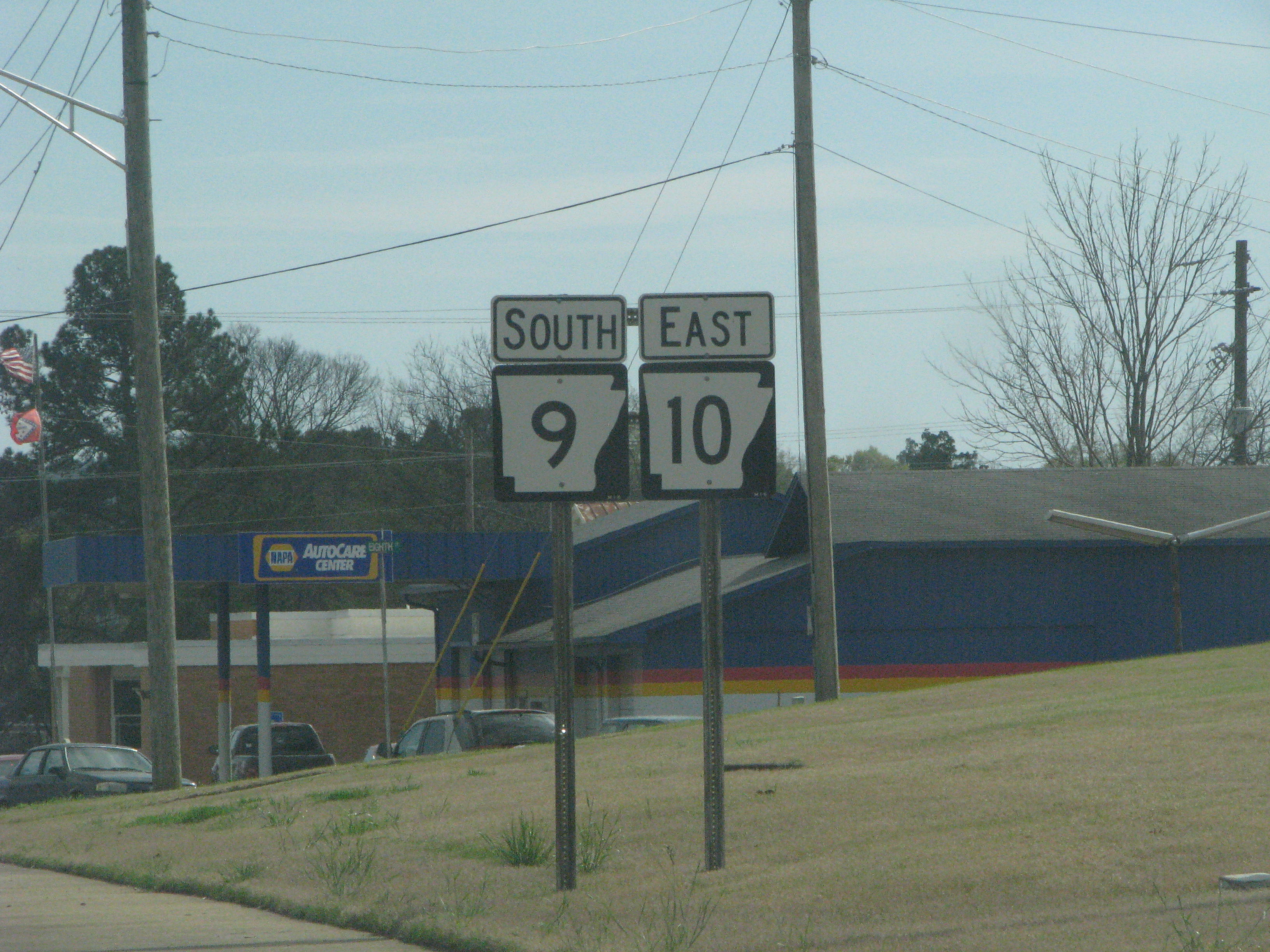
Arkansas Highway 395 (AR 395) is a state highway made up of two sections, both of which are in Fulton County. The southern segment is a spur route that begins southwest of Salem and ends at U.S. Route 62 (US 62) / US 412 in Salem. The northern segment begins on the northeastern side of Salem at Highway 9 and travels north and east to the Missouri state line, where it becomes Missouri Route 17. Southern segment Highway 395 begins at a begin/end state maintenance sign southwest of Salem; the highway continues southwest as Byron Road. From its beginning, the route heads to the northeast towards Salem, along the winding Byron Road. On the southwestern side of Salem, the highway ends at U.S. 62 / U.S. 412. ;Major intersections Northern segment Highway 395 reemerges on the northeast side of Salem near the Fulton County Hospital at an intersection with Highway 9. From Salem it heads north, roughly parallel to the south fork of the Spring ... [...More Info...] [...Related Items...] OR: [Wikipedia] [Google] [Baidu] |
Arkansas State Highway And Transportation Department
The Arkansas Department of Transportation (ArDOT), formerly the Arkansas Highway and Transportation Department, is a government department in the U.S. state of Arkansas. Its mission is to provide a safe, efficient, aesthetically pleasing and environmentally sound intermodal transportation system for the user. The department is responsible for implementing policy made by the Arkansas State Highway Commission, a board of officials appointed by the Governor of Arkansas to direct transportation policy in the state. The department's director is appointed by the commission to hire staff and manage construction and maintenance on Arkansas's highways. The primary duty of ArDOT is the maintenance and management of the over Arkansas Highway System. The department also conducts planning, public transportation, the State Aid County Road Program, the Arkansas Highway Police, and Federal-Aid project administration. Its headquarters are in Little Rock. History Central control of highway t ... [...More Info...] [...Related Items...] OR: [Wikipedia] [Google] [Baidu] |
Salem, Fulton County, Arkansas
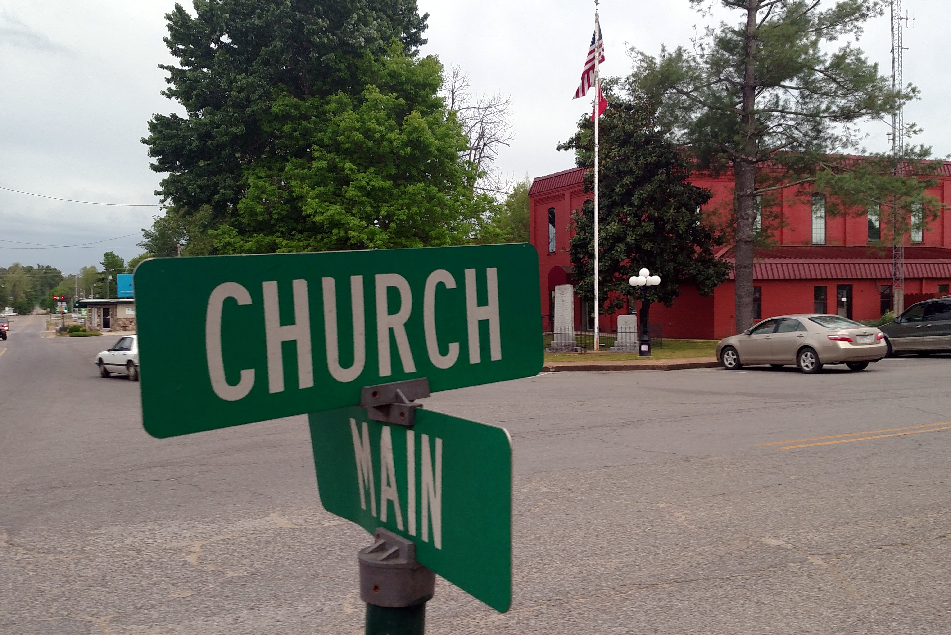
Salem is the county seat of Fulton County, Arkansas, United States. Salem was first incorporated in 1900. As of the 2010 census the population stood at 1,635. Geography Salem is located near the center of Fulton County at the intersection of US Route 62 and 412 with Arkansas Highways 9 and 395. According to the United States Census Bureau, the city has a total area of , of which , or 0.38%, is water. Climate Salem has a humid subtropical climate with mild winters and hot summers. November has the highest average precipitation, at .http://www.weather.com/weather/wxclimatology/monthly/72576 The average annual rainfall is . The average annual low temperature is 44 degrees and the average annual high is 67. Protected areas Salem City Park has a walking trail, volleyball court, picnic pavilions, children’s play area, and a lake that is stocked with fish. Preacher Roe Park is located on Highway 9 and offers a baseball/softball field and basketball court for aspiring athletes ... [...More Info...] [...Related Items...] OR: [Wikipedia] [Google] [Baidu] |
Fulton County, Arkansas
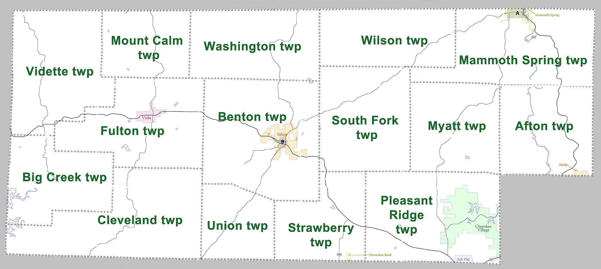
Fulton County is a county located in the U.S. state of Arkansas. As of the 2010 census, the population was 12,245. The county seat is Salem. Fulton County was formed on December 21, 1842, and named for William Fulton, the last governor of the Arkansas Territory. It is an alcohol prohibition or dry county. Geography According to the U.S. Census Bureau, the county has a total area of , of which is land and (0.3%) is water. Major highways * * * * U.S. Highway 62 Business * Highway 9 * Highway 87 * Highway 175 * Highway 223 * Highway 289 * Highway 395 Adjacent counties *Ozark County, Missouri (northwest) * Howell County, Missouri (north) * Oregon County, Missouri (northeast) * Sharp County (east) *Izard County (south) * Baxter County (west) Demographics 2020 census As of the 2020 United States census, there were 12,075 people, 4,973 households, and 3,278 families residing in the county. 2000 census As of the 2000 census, there were 11,642 people, 4,810 househo ... [...More Info...] [...Related Items...] OR: [Wikipedia] [Google] [Baidu] |
Spur Route
A spur route is a short road forming a branch from a longer, more important road such as a freeway, Interstate Highway, or motorway. A bypass or beltway should not be considered a true spur route as it typically reconnects with another or the same major road. Canada In the province of Ontario, most spur routes are designated as A or B, such as Highway 17A, or 7B. A stands for "Alternate Route", and usually links a highway to a town's central core or main attraction, while B stands for "Business Route" or "Bypass", but are used when a main highway is routed around a town and away from its former alignment. The designation of "C" was used twice (Highway 3C and 40C), and is assumed to mean "Connector". Both highways have long since been retired and are now county roads. There was also one road with the D designation (Highway 8D, later the original Highway 102), and this may have stood for "Diversion", as it was along the first completed divided highway in Canada at the time (Coo ... [...More Info...] [...Related Items...] OR: [Wikipedia] [Google] [Baidu] |
Highway 9 (Arkansas)
Highway 9 (AR 9) is a designation for two north–south state highways in Arkansas. A southern segment of begins at U.S. Route 79 at Eagle Mills and heads north to U.S. Route 67 in Malvern before terminating. The northern segment of runs from AR 5 to U.S. Route 63 in Mammoth Spring. The route was created during the 1926 Arkansas state highway numbering, and has seen only minor extensions and realignments since. Pieces of both routes are designated as Arkansas Heritage Trails for use during the Civil War and the Trail of Tears. The AR 9 designation also extends to two spur routes and one business route. All routes are maintained by the Arkansas Department of Transportation (ArDOT). Route description Eagle Mills to Malvern Highway 9 begins at US 67 in Malvern and heads south through Lono, Tulip, and Princeton before heading slightly west. The route then passes through Holly Springs and past numerous quarries before terminating at US 79 at Eagle Mills. Crows to Mammoth Spr ... [...More Info...] [...Related Items...] OR: [Wikipedia] [Google] [Baidu] |
Missouri
Missouri is a U.S. state, state in the Midwestern United States, Midwestern region of the United States. Ranking List of U.S. states and territories by area, 21st in land area, it is bordered by eight states (tied for the most with Tennessee): Iowa to the north, Illinois, Kentucky and Tennessee to the east, Arkansas to the south and Oklahoma, Kansas and Nebraska to the west. In the south are the Ozarks, a forested highland, providing timber, minerals, and recreation. The Missouri River, after which the state is named, flows through the center into the Mississippi River, which makes up the eastern border. With more than six million residents, it is the List of U.S. states and territories by population, 19th-most populous state of the country. The largest urban areas are St. Louis, Kansas City, Missouri, Kansas City, Springfield, Missouri, Springfield and Columbia, Missouri, Columbia; the Capital city, capital is Jefferson City, Missouri, Jefferson City. Humans have inhabited w ... [...More Info...] [...Related Items...] OR: [Wikipedia] [Google] [Baidu] |
Missouri Route 17
Route 17 is a highway in central and southern Missouri. Its northern terminus is at U.S. Route 54 in Eugene, which is six miles (10 km) northeast of Eldon; its southern terminus is at the Arkansas state line where it continues into Arkansas as Highway 395. Between Waynesville and east of Laquey, part of the road was historic U.S. Route 66. South of Interstate 44, Route 17 enters the Mark Twain National Forest and passes through the western edge of Fort Leonard Wood Fort Leonard Wood is a U.S. Army training installation located in the Missouri Ozarks. The main gate is located on the southern boundary of The City of St. Robert. The post was created in December 1940 and named in honor of General Leonard W .... Originally, Route 17 terminated at Mountain View. Major intersections References External links {{attached KML 017 Transportation in Howell County, Missouri Transportation in Texas County, Missouri Transportation in Pu ... [...More Info...] [...Related Items...] OR: [Wikipedia] [Google] [Baidu] |
Spring River (Arkansas)
The Spring River is a long river which flows through the U.S. states of Missouri and Arkansas. It consists of two branches, the South Fork of the Spring River and the Spring River proper. The South Fork of the Spring River starts in Howell County, Missouri and flows south through Fulton and Sharp counties in Arkansas. The South Fork of the Spring River joins the Spring River proper near the town of Hardy, Arkansas. The South Fork is a quiet stream with gravelly bars that are ideal for camping. The Spring River proper begins where Mammoth Spring and Warm Fork of the Spring River merge at Mammoth Spring State Park in Mammoth Spring, Arkansas. Mammoth Spring is the outlet of an underground river that runs from Missouri into Arkansas. Over per hour flow out of the massive spring and forms the Spring River. Being predominantly spring fed with water averaging 58 °F (14 °C), the river is kept cool during warmer months and is suitable trout habitate for several mil ... [...More Info...] [...Related Items...] OR: [Wikipedia] [Google] [Baidu] |
State Highways In Arkansas
State may refer to: Arts, entertainment, and media Literature * ''State Magazine'', a monthly magazine published by the U.S. Department of State * ''The State'' (newspaper), a daily newspaper in Columbia, South Carolina, United States * ''Our State'', a monthly magazine published in North Carolina and formerly called ''The State'' * The State (Larry Niven), a fictional future government in three novels by Larry Niven Music Groups and labels * States Records, an American record label * The State (band), Australian band previously known as the Cutters Albums * ''State'' (album), a 2013 album by Todd Rundgren * ''States'' (album), a 2013 album by the Paper Kites * ''States'', a 1991 album by Klinik * ''The State'' (album), a 1999 album by Nickelback Television * ''The State'' (American TV series), 1993 * ''The State'' (British TV series), 2017 Other * The State (comedy troupe), an American comedy troupe Law and politics * State (polity), a centralized political organizatio ... [...More Info...] [...Related Items...] OR: [Wikipedia] [Google] [Baidu] |


