|
Arafura Jungles
The Arafura Jungles form a site with an area of about 5000 ha in eastern Arnhem Land, in the Top End of the Northern Territory of Australia. It contains twelve patches of monsoon vine forest of areas varying from 1.5 ha to 50 ha, representing four distinct floristic types, in the sandstone escarpment bordering the eastern edge of the Arafura Swamp, 12 km north of Mirrngadja. It is listed on the now-defunct Register of the National Estate. Vegetation The patches are of both wet and dry jungles, with the wet typically occupying sheltered spring or creek fed sites in gorges, and with the dry occupying less sheltered sites on cliffs and scree slopes that receive no water during the dry season. Plants of conservation significance include the ferns ''Angiopteris evecta'' and ''Adiantum aethiopicum'', the vine '' Freycinettia percostata'' and the orchid Orchids are plants that belong to the family Orchidaceae (), a diverse and widespread group of flowering plants with ... [...More Info...] [...Related Items...] OR: [Wikipedia] [Google] [Baidu] |
Hectare
The hectare (; SI symbol: ha) is a non-SI metric unit of area equal to a square with 100-metre sides (1 hm2), or 10,000 m2, and is primarily used in the measurement of land. There are 100 hectares in one square kilometre. An acre is about and one hectare contains about . In 1795, when the metric system was introduced, the ''are'' was defined as 100 square metres, or one square decametre, and the hectare ("hecto-" + "are") was thus 100 ''ares'' or km2 (10,000 square metres). When the metric system was further rationalised in 1960, resulting in the International System of Units (), the ''are'' was not included as a recognised unit. The hectare, however, remains as a non-SI unit accepted for use with the SI and whose use is "expected to continue indefinitely". Though the dekare/decare daa (1,000 m2) and are (100 m2) are not officially "accepted for use", they are still used in some contexts. Description The hectare (), although not a unit of SI, i ... [...More Info...] [...Related Items...] OR: [Wikipedia] [Google] [Baidu] |
Cliff
In geography and geology, a cliff is an area of rock which has a general angle defined by the vertical, or nearly vertical. Cliffs are formed by the processes of weathering and erosion, with the effect of gravity. Cliffs are common on coasts, in mountainous areas, escarpments and along rivers. Cliffs are usually composed of rock that is resistant to weathering and erosion. The sedimentary rocks that are most likely to form cliffs include sandstone, limestone, chalk, and dolomite. Igneous rocks such as granite and basalt also often form cliffs. An escarpment (or scarp) is a type of cliff formed by the movement of a geologic fault, a landslide, or sometimes by rock slides or falling rocks which change the differential erosion of the rock layers. Most cliffs have some form of scree slope at their base. In arid areas or under high cliffs, they are generally exposed jumbles of fallen rock. In areas of higher moisture, a soil slope may obscure the talus. Many cliffs also fea ... [...More Info...] [...Related Items...] OR: [Wikipedia] [Google] [Baidu] |
Orchid
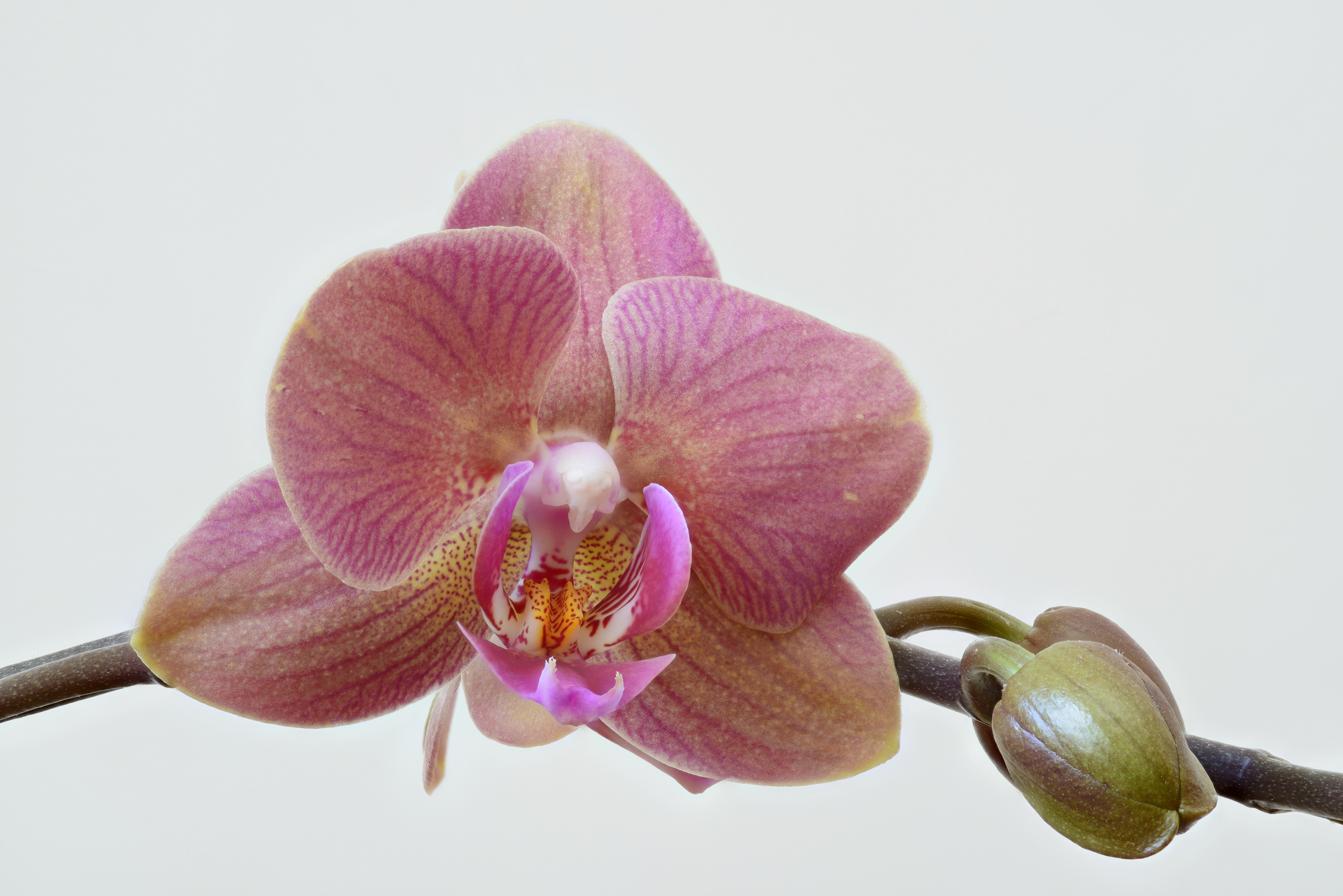
Orchids are plants that belong to the family Orchidaceae (), a diverse and widespread group of flowering plants with blooms that are often colourful and fragrant. Along with the Asteraceae, they are one of the two largest families of flowering plants. The Orchidaceae have about 28,000 currently accepted species, distributed in about 763 genera. (See ''External links'' below). The determination of which family is larger is still under debate, because verified data on the members of such enormous families are continually in flux. Regardless, the number of orchid species is nearly equal to the number of bony fishes, more than twice the number of bird species, and about four times the number of mammal species. The family encompasses about 6–11% of all species of seed plants. The largest genera are ''Bulbophyllum'' (2,000 species), ''Epidendrum'' (1,500 species), ''Dendrobium'' (1,400 species) and ''Pleurothallis'' (1,000 species). It also includes ''Vanilla'' (the genus of the ... [...More Info...] [...Related Items...] OR: [Wikipedia] [Google] [Baidu] |
Vine
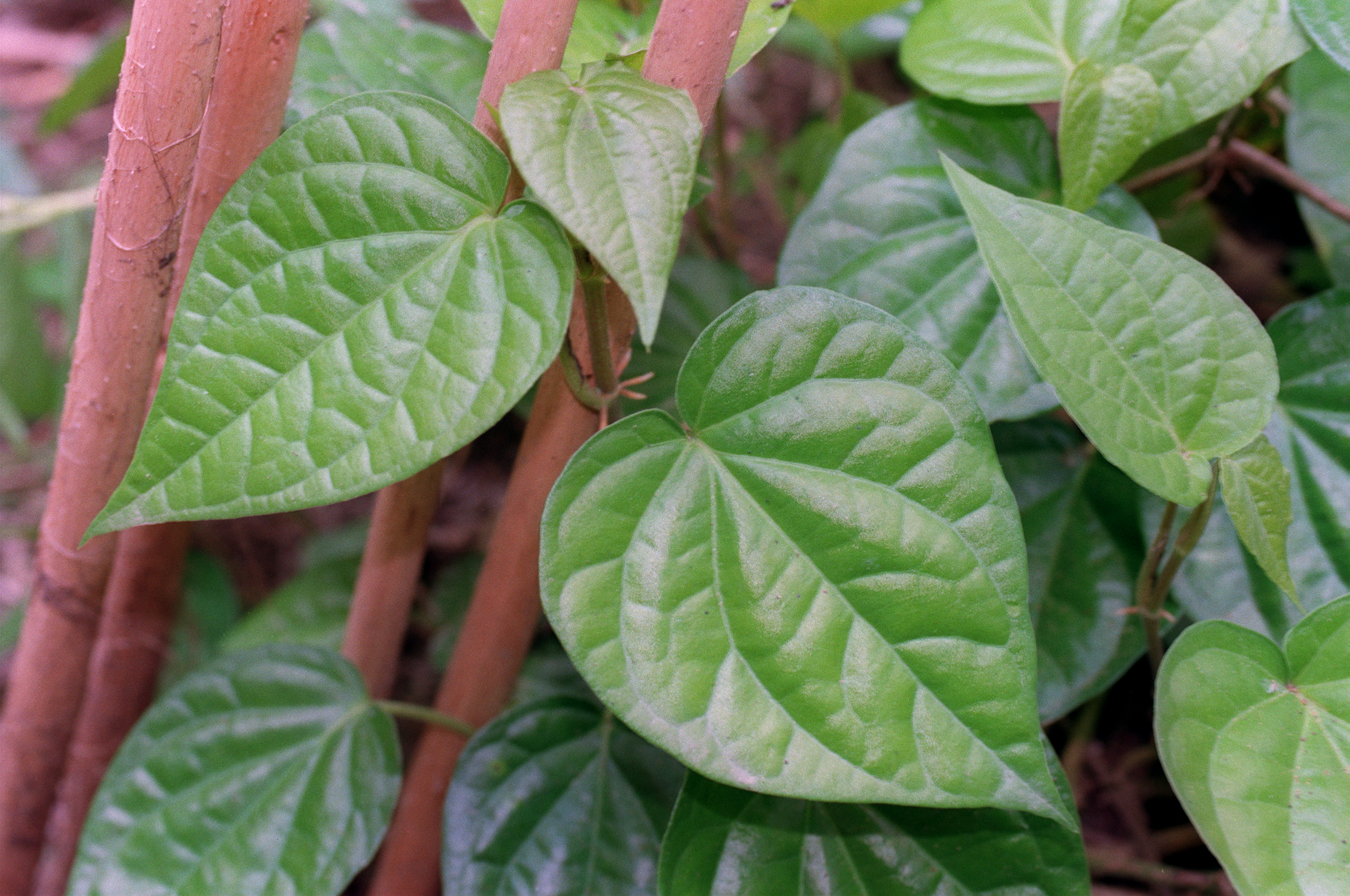
A vine (Latin ''vīnea'' "grapevine", "vineyard", from ''vīnum'' "wine") is any plant with a growth habit of trailing or scandent (that is, climbing) stems, lianas or runners. The word ''vine'' can also refer to such stems or runners themselves, for instance, when used in wicker work.Jackson; Benjamin; Daydon (1928). ''A Glossary of Botanic Terms with their Derivation and Accent'', 4th ed. London: Gerald Duckworth & Co. In parts of the world, including the British Isles, the term "vine" usually applies exclusively to grapevines (''Vitis''), while the term "climber" is used for all climbing plants. Growth forms Certain plants always grow as vines, while a few grow as vines only part of the time. For instance, poison ivy and bittersweet can grow as low shrubs when support is not available, but will become vines when support is available. A vine displays a growth form based on very long stems. This has two purposes. A vine may use rock exposures, other plants, or other ... [...More Info...] [...Related Items...] OR: [Wikipedia] [Google] [Baidu] |
Adiantum Aethiopicum
''Adiantum aethiopicum'', also known as the common maidenhair fern, is a small fern of widespread distribution, occurring in Africa, Australia, Norfolk Island and New Zealand. ''Adiantum aethiopicum'' was one of the many species first described by Linnaeus, in this case in his ''Systema naturae'' in 1759. The specific epithet ''aethiopicum'' in this sense was the Latin term for Africa south of the then known world, that is to say, more or less Africa south of Egypt. In South Africa the species occurs widely, though not generally profusely, mainly on moist sandstone cliffs in full shade. In the Cape Peninsula The Cape Peninsula ( af, Kaapse Skiereiland) is a generally mountainous peninsula that juts out into the Atlantic Ocean at the south-western extremity of the African continent. At the southern end of the peninsula are Cape Point and the Cape of ... it is uncommon and grows mainly at the highest locally available altitudes, generally about . ''Adiantum aethiopicum'' grows ... [...More Info...] [...Related Items...] OR: [Wikipedia] [Google] [Baidu] |
Angiopteris Evecta
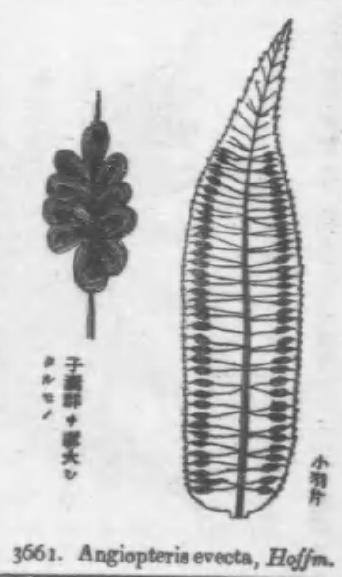
''Angiopteris evecta'', commonly known as the king fern, giant fern, elephant fern, oriental vessel fern, Madagascar tree fern, or mule's Foot fern, is a very large rainforest fern in the family Marattiaceae native to most parts of Southeast Asia and Oceania. It has a history dating back about 300 million years, and is believed to have the longest fronds of any fern in the world. Description ''Angiopteris evecta'' is a self-supporting evergreen perennial fern with very large bipinnate fronds. The trunk-like rhizome is massive, measuring up to in diameter. The older portions of the rhizome lie on the ground while the newer growth may rise vertically up to high. The arching, glossy green fronds, which emerge from the tip of the rhizome, may reach up to long and wide, with the fleshy green petiole (leaf stem) making up of that length. They are said to be the longest fern fronds in the world, and despite their enormous size they have no woody strengthening tissues in the fronds ... [...More Info...] [...Related Items...] OR: [Wikipedia] [Google] [Baidu] |
Fern
A fern (Polypodiopsida or Polypodiophyta ) is a member of a group of vascular plants (plants with xylem and phloem) that reproduce via spores and have neither seeds nor flowers. The polypodiophytes include all living pteridophytes except the lycopods, and differ from mosses and other bryophytes by being vascular, i.e., having specialized tissues that conduct water and nutrients and in having life cycles in which the branched sporophyte is the dominant phase. Ferns have complex leaves called megaphylls, that are more complex than the microphylls of clubmosses. Most ferns are leptosporangiate ferns. They produce coiled fiddleheads that uncoil and expand into fronds. The group includes about 10,560 known extant species. Ferns are defined here in the broad sense, being all of the Polypodiopsida, comprising both the leptosporangiate (Polypodiidae) and eusporangiate ferns, the latter group including horsetails, whisk ferns, marattioid ferns, and ophioglossoid ferns. Ferns first ... [...More Info...] [...Related Items...] OR: [Wikipedia] [Google] [Baidu] |
Dry Season
The dry season is a yearly period of low rainfall, especially in the tropics. The weather in the tropics is dominated by the tropical rain belt, which moves from the northern to the southern tropics and back over the course of the year. The temperate counterpart to the tropical dry season is summer or winter. Rain belt The tropical rain belt lies in the southern hemisphere roughly from October to March; during that time the northern tropics have a dry season with sparser precipitation, and days are typically sunny throughout. From April to September, the rain belt lies in the northern hemisphere, and the southern tropics have their dry season. Under the Köppen climate classification, for tropical climates, a dry season month is defined as a month when average precipitation is below . The rain belt reaches roughly as far north as the Tropic of Cancer and as far south as the Tropic of Capricorn. Near these latitudes, there is one wet season and one dry season annually. At the ... [...More Info...] [...Related Items...] OR: [Wikipedia] [Google] [Baidu] |
Scree
Scree is a collection of broken rock fragments at the base of a cliff or other steep rocky mass that has accumulated through periodic rockfall. Landforms associated with these materials are often called talus deposits. Talus deposits typically have a concave upwards form, where the maximum inclination corresponds to the angle of repose of the mean debris particle size. The exact definition of scree in the primary literature is somewhat relaxed, and it often overlaps with both ''talus'' and ''colluvium''. The term ''scree'' comes from the Old Norse term for landslide, ''skriða'', while the term ''talus'' is a French word meaning a slope or embankment. In high-altitude arctic and subarctic regions, scree slopes and talus deposits are typically adjacent to hills and river valleys. These steep slopes usually originate from late-Pleistocene periglacial processes. Notable scree sites in Eastern North America include the Ice Caves at White Rocks National Recreation Area in southern Ve ... [...More Info...] [...Related Items...] OR: [Wikipedia] [Google] [Baidu] |
Canyon
A canyon (from ; archaic British English spelling: ''cañon''), or gorge, is a deep cleft between escarpments or cliffs resulting from weathering and the erosion, erosive activity of a river over geologic time scales. Rivers have a natural tendency to cut through underlying surfaces, eventually wearing away rock layers as sediments are removed downstream. A river bed will gradually reach a baseline elevation, which is the same elevation as the body of water into which the river drains. The processes of weathering and erosion will form canyons when the river's River source, headwaters and estuary are at significantly different elevations, particularly through regions where softer rock layers are intermingled with harder layers more resistant to weathering. A canyon may also refer to a rift between two mountain peaks, such as those in ranges including the Rocky Mountains, the Alps, the Himalayas or the Andes. Usually, a river or stream carves out such splits between mountains. Examp ... [...More Info...] [...Related Items...] OR: [Wikipedia] [Google] [Baidu] |
Arnhem Land
Arnhem Land is a historical region of the Northern Territory of Australia, with the term still in use. It is located in the north-eastern corner of the territory and is around from the territory capital, Darwin. In 1623, Dutch East India Company captain Willem Joosten van Colster (or Coolsteerdt) sailed into the Gulf of Carpentaria and Cape Arnhem is named after his ship, the ''Arnhem'', which itself was named after the city of Arnhem in the Netherlands. The area covers about and has an estimated population of 16,000, of whom 12,000 are Aboriginal and Torres Strait Islander people. Two regions are often distinguished as East Arnhem (Land) and West Arnhem (Land), and North-east Arnhem Land is known to the local Yolŋu people as Miwatj. The region's service hub is Nhulunbuy, east of Darwin, set up in the early 1970s as a mining town for bauxite. Other major population centres are Yirrkala (just outside Nhulunbuy), Gunbalanya (formerly Oenpelli), Ramingining, and Maningrida. ... [...More Info...] [...Related Items...] OR: [Wikipedia] [Google] [Baidu] |


