|
Annemasse
Annemasse (; Arpitan: ''Anemâsse'') is a commune in the Haute-Savoie department in the Auvergne-Rhône-Alpes region in Eastern France. Even though it covers a relatively small territory (4.98 km2 or 1.92 sq mi), it is Haute-Savoie's second most populous commune after the prefecture Annecy, with 36,250 residents as of 2018.Téléchargement du fichier d'ensemble des populations légales en 2017 INSEE Annemasse is part of the Grand Genève (Greater Geneva), a transborder agglomera ... [...More Info...] [...Related Items...] OR: [Wikipedia] [Google] [Baidu] |
Agglomeration Community Of Annemasse – Les Voirons
The agglomeration community Annemasse – Les Voirons is an intercommunal structure located in Haute-Savoie, France. It consists of the town Annemasse and 11 neighbouring communes. It is located at the Swiss border, east of Geneva, between the mountains Salève and Voirons. Its area is 78.2 km2. Its population was 90,378 in 2018, of which 36,250 in Annemasse proper.Comparateur de territoire INSEE, accessed 5 April 2022. History In 1966, the communes of Ambilly, Annemasse, Etrembières, Gaillard, Ville-la-Grand and Vétraz-Monthoux formed the ''syndicat intercommunal à vocations multiples'' of the Annemasse agglomeration. This cooperation became a |
Annemasse Station
Annemasse station (french: Gare d'Annemasse) is a railway station located in Annemasse, Haute-Savoie, south-eastern France. The station was opened in 1880 and is located on the Aix-les-Bains–Annemasse railway, Longeray-Léaz-Le Bouveret railway, and CEVA orbital railway. It was formerly the eastern terminus of the Annemasse-Genève-Eaux-Vives railway. The train services are operated by SNCF and Léman Express. Services the following services stop at Annemasse: * TGV: service between Paris-Lyon and . * TGV inOui: on weekends during the winter season, two round-trips per day between Paris-Lyon and . * RegioExpress: half-hourly service (hourly on weekends) to and hourly service to . * TER Auvergne-Rhône-Alpes: regional service between and Évian-les-Bains, with further service from Bellegarde to . * Léman Express The Léman Express is a commuter rail network for the transborder agglomeration of Grand Genève (''Greater Geneva'') in west Switzerland and the French Alps ... [...More Info...] [...Related Items...] OR: [Wikipedia] [Google] [Baidu] |
Léman Express
The Léman Express is a commuter rail network for the transborder agglomeration of Grand Genève (''Greater Geneva'') in west Switzerland and the French Alps (Haute-Savoie and Ain). Six lines serve Swiss and French towns along 230 km of railway. At the heart of the Léman Express system is the CEVA rail project linking Eaux-Vives station with Cornavin station in Geneva. This line, largely underground, was opened on 15 December 2019. The Léman Express marked the start of direct services from Genève-Cornavin station to the French cities of Évian, Thonon, Annemasse and Annecy as well as the population of the Arve Valley up to Saint-Gervais-les-Bains. Lines The Léman Express operates daily from 5am to 12:30am and hourly overnight on Friday and Saturday nights between Coppet and Annemasse. Ridership Upon the full launch of the network in December 2019, it was hoped ridership would be around 50,000 travelers per day by the end of the next year; at the beginning of M ... [...More Info...] [...Related Items...] OR: [Wikipedia] [Google] [Baidu] |
Grand Genève
Grand Genève ("Greater Geneva" in English) is a Local Grouping of Transnational Cooperation (in French: ''groupement local de coopération transfrontalière'', or GLCT), a public entity under Swiss law, in charge of organizing cooperation within the cross-border metropolitan area of Geneva (in particular metropolitan transports). The Grand Genève GLCT extends over Switzerland (entire Canton of Geneva and the canton of Vaud's entire Nyon District) and France (''Pôle métropolitain du Genevois français'', literally "Metropolitan hub of the French Genevan territory", a federation of eight French intercommunal councils in the departments of Ain and Haute-Savoie). The Grand Genève GLCT covers a land area of (27.7% Swiss territory, 72.3% French territory) and had a population of 1,025,316 in Jan. 2019 (Swiss estimates and French census), 58.5% of them living on Swiss territory, and 41.5% on French territory. History The city centre of Geneva is located only from the border ... [...More Info...] [...Related Items...] OR: [Wikipedia] [Google] [Baidu] |
TER Auvergne-Rhône-Alpes
TER Auvergne-Rhône-Alpes is the regional rail network serving the region of Auvergne-Rhône-Alpes, central and eastern France. It is operated by the French national railway company SNCF. It was formed in 2017 from the previous TER networks TER Auvergne and TER Rhône-Alpes, after the respective regions were merged. Network The northeastern part of the region is also served by the Léman Express network. The TER Auvergne-Rhône-Alpes rail and bus network as of April 2022:Rechercher une fiche horaire TER Auvergne-Rhône-Alpes, accessed 21 April 2022.Réseau TER et cars Auvergne-Rhôn ... [...More Info...] [...Related Items...] OR: [Wikipedia] [Google] [Baidu] |
Geneva
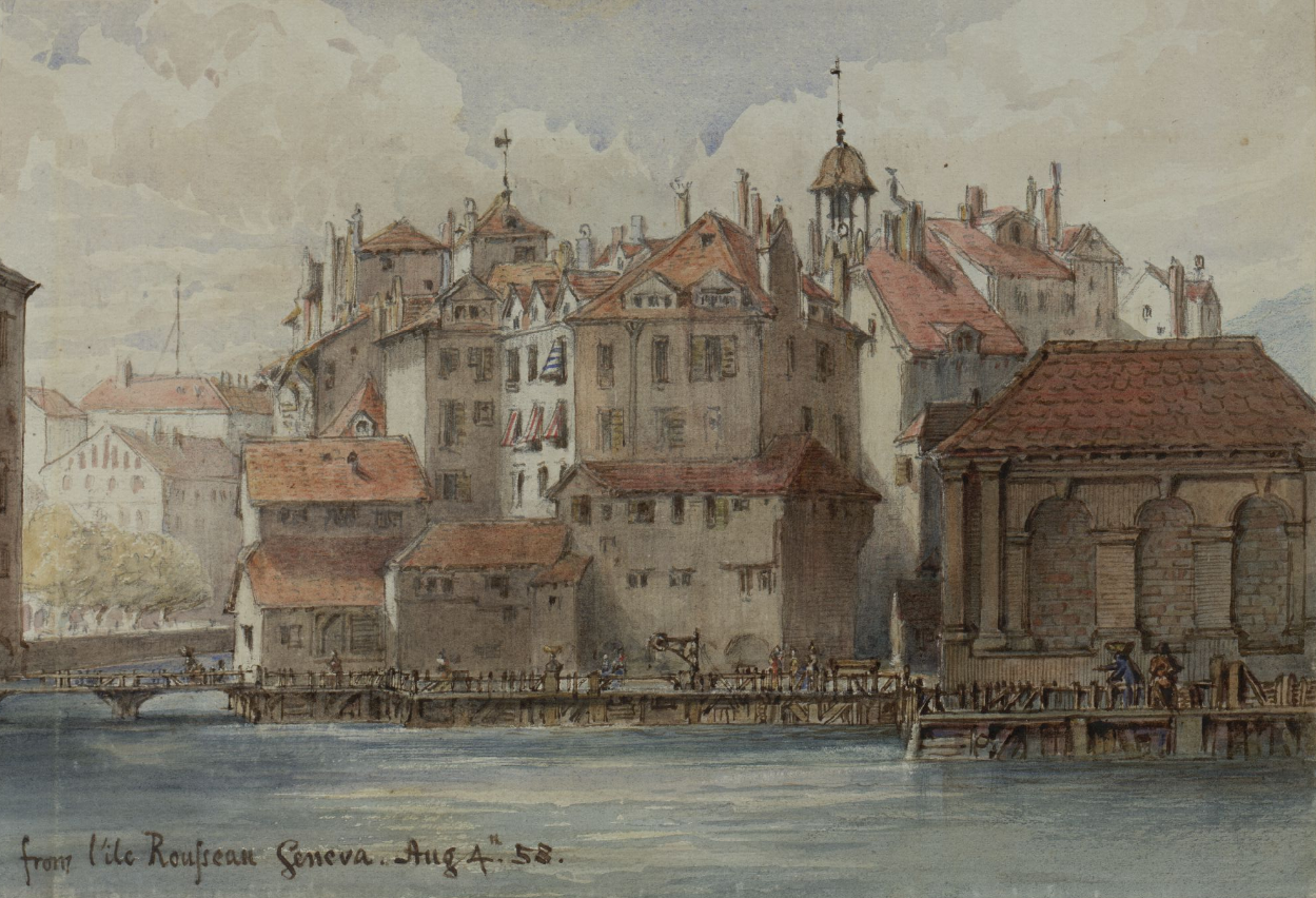
Geneva ( ; french: Genève ) frp, Genèva ; german: link=no, Genf ; it, Ginevra ; rm, Genevra is the List of cities in Switzerland, second-most populous city in Switzerland (after Zürich) and the most populous city of Romandy, the French-speaking part of Switzerland. Situated in the south west of the country, where the Rhône exits Lake Geneva, it is the capital of the Canton of Geneva, Republic and Canton of Geneva. The city of Geneva () had a population 201,818 in 2019 (Jan. estimate) within its small municipal territory of , but the Canton of Geneva (the city and its closest Swiss suburbs and exurbs) had a population of 499,480 (Jan. 2019 estimate) over , and together with the suburbs and exurbs located in the canton of Vaud and in the French Departments of France, departments of Ain and Haute-Savoie the cross-border Geneva metropolitan area as officially defined by Eurostat, which extends over ,As of 2020, the Eurostat-defined Functional Urban Area of Geneva was made up of 9 ... [...More Info...] [...Related Items...] OR: [Wikipedia] [Google] [Baidu] |
Arve
The Arve (french: L'Arve, ) is a river in France (''département'' of Haute-Savoie), and Switzerland (canton of Geneva). A left tributary of the Rhône, it is long, of which 9 km in Switzerland. Its catchment area is , of which 80 km2 in Switzerland. Its average discharge in Geneva is . Rising in the northern side of the Mont Blanc massif in the Alps, close to the Swiss border, it receives water from the many glaciers of the Chamonix valley (mainly the Mer de Glace) before flowing north-west into the Rhône on the west side of Geneva, where its much higher level of silt brings forth a striking contrast between the two rivers. The Arve flows through Chamonix, Sallanches, Oëx, Cluses, Bonneville, Annemasse and Geneva. Tributaries include, from source to mouth: Arveyron, Diosaz, Bon-Nant, Sallanche, Giffre, Borne, Menoge, Foron, Seymaz and Aire. Gallery Image:Rhône and Arve Junction.jpg, The Arve (right) meets the Rhône in Geneva Geneva ( ; french: Genève ... [...More Info...] [...Related Items...] OR: [Wikipedia] [Google] [Baidu] |
Haute-Savoie
Haute-Savoie (; Arpitan: ''Savouè d'Amont'' or ''Hiôta-Savouè''; en, Upper Savoy) or '; it, Alta Savoia. is a department in the Auvergne-Rhône-Alpes region of Southeastern France, bordering both Switzerland and Italy. Its prefecture is Annecy. To the north is Lake Geneva; to the south and southeast are Mont Blanc and the Aravis mountain range. It holds its name from the Savoy historical region, as does the department of Savoie, located south of Haute-Savoie. In 2019, it had a population of 826,094.Populations légales 2019: 74 Haute-Savoie INSEE Its subprefectures are [...More Info...] [...Related Items...] OR: [Wikipedia] [Google] [Baidu] |
Salève
The Salève (), or Mont Salève, is a mountain of the French Prealps located in the department of Haute-Savoie in Auvergne-Rhône-Alpes. It is also called the "Balcony of Geneva" (French: ''Balcon de Genève''). Geography Geographically, the Salève is a mountain of the French Prealps located in the Haute-Savoie department, but geologically a part of the Jura chain, as the Vuache is. Below the Salève is the Geneva urban area where more than 700,000 people live. The Salève consists of the Pitons, Grand Salève and Petit Salève; it culminates at 1,379 metres at the Grand Piton. It is accessible via the Téléphérique du Salève, a cable car, since 1932 (rebuilt in 1983). The Salève stretches between Étrembières in the north and the suspension bridge of La Caille in the south. Between 1892 and 1935, the Salève was served by the first electric rack railway in the world (Chemin de fer du Salève). The eastern side of the Salève dives under the molasse of the Bornes Massi ... [...More Info...] [...Related Items...] OR: [Wikipedia] [Google] [Baidu] |
France–Switzerland Border
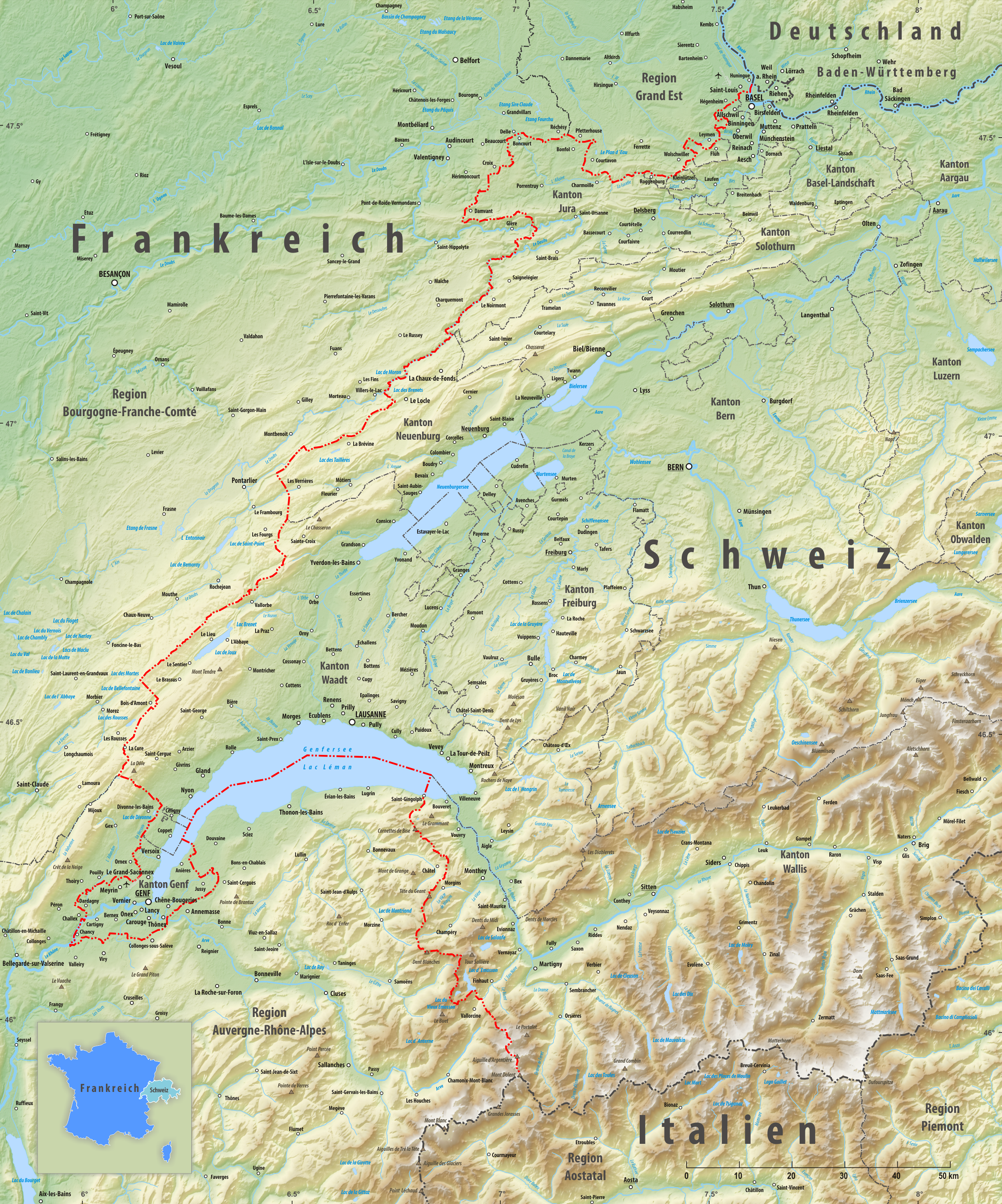
The France–Switzerland border is long. Its current path is mostly the product of the Congress of Vienna of 1815, with the accession of Geneva, Neuchâtel and Valais to the Swiss Confederation, but it has since been modified in detail, the last time being in 2002. Although most of the border, marked with border stones, is unguarded, several checkpoints remain staffed, most notably on busy roads. Detailed path The tripoint where the border meets the Germany–Switzerland border and France–Germany border is on the river Rhine (at ) north of Basel. A monument has been built near it, known as the Dreiländereck. The border runs south of EuroAirport Basel Mulhouse Freiburg and then towards the southwest, separating the villages of Schönenbuch (Switzerland), Neuwiller (France), Leymen (France) and Rodersdorf (Switzerland). It then enters the Jura mountains, Jura chain, rising above 800 metres of altitude before meeting the La Lucelle river at 460 m, between Roggenburg, Base ... [...More Info...] [...Related Items...] OR: [Wikipedia] [Google] [Baidu] |
Bornes Massif
The Bornes Massif (French: ''Massif des Bornes'') is a mountainous massif in the north French Prealps in the ''département'' of Haute-Savoie. It has 20 peaks higher than 2000 m and is a popular destination for winter sports. The Massif is the source of the celebrated cheese Reblochon. Geography Location The massif is bounded on the east by the Thônes depression and the Aravis Range, where the highest peaks of the Northern Prealps are to be found, to the south-west by Lake Annecy and the Bauges Massif, and to the north by the valley of Arve The Arve (french: L'Arve, ) is a river in France (''département'' of Haute-Savoie), and Switzerland (canton of Geneva). A left tributary of the Rhône, it is long, of which 9 km in Switzerland. Its catchment area is , of which 80 km2 ... and Chablais. The name "Aravis Massif" is also used to refer to the whole massif, possibly an effect of tourist marketing. The massif can be accessed though numerous open valleys wh ... [...More Info...] [...Related Items...] OR: [Wikipedia] [Google] [Baidu] |
Temperate Climate
In geography, the temperate climates of Earth occur in the middle latitudes (23.5° to 66.5° N/S of Equator), which span between the tropics and the polar regions of Earth. These zones generally have wider temperature ranges throughout the year and more distinct seasonal changes compared to tropical climates, where such variations are often small and usually only have precipitation changes. In temperate climates, not only do latitudinal positions influence temperature changes, but sea currents, prevailing wind direction, continentality (how large a landmass is) and altitude also shape temperate climates. The Köppen climate classification defines a climate as "temperate" C, when the mean temperature is above but below in the coldest month to account for the persistency of frost. However, other climate classifications set the minimum at . Zones and climates The north temperate zone extends from the Tropic of Cancer (approximately 23.5° north latitude) to the Arctic ... [...More Info...] [...Related Items...] OR: [Wikipedia] [Google] [Baidu] |


