|
Annandale, Virginia
Annandale () is a census-designated place (CDP) in Fairfax County, Virginia.Annandale CDP, Virginia Archive . U.S. Census Bureau. Retrieved on April 2, 2015. "2010 CENSUS - CENSUS BLOCK MAP: Annandale CDP, VA" The population of the CDP was 43,363 as of the 2020 United States census. It is home to the Northern Virginia Community College (Annandale Campus), oldest and largest branch of the Northern Virginia Community College system, and to one of the D.C. area's Koreatown#Washington, D.C., Koreatowns. History W ...[...More Info...] [...Related Items...] OR: [Wikipedia] [Google] [Baidu] |
Census-designated Place
A census-designated place (CDP) is a Place (United States Census Bureau), concentration of population defined by the United States Census Bureau for statistical purposes only. CDPs have been used in each decennial census since 1980 as the counterparts of incorporated places, such as self-governing city (United States), cities, town (United States), towns, and village (United States), villages, for the purposes of gathering and correlating statistical data. CDPs are populated areas that generally include one officially designated but currently unincorporated area, unincorporated community, for which the CDP is named, plus surrounding inhabited countryside of varying dimensions and, occasionally, other, smaller unincorporated communities as well. CDPs include small rural communities, Edge city, edge cities, colonia (United States), colonias located along the Mexico–United States border, and unincorporated resort and retirement community, retirement communities and their environs. ... [...More Info...] [...Related Items...] OR: [Wikipedia] [Google] [Baidu] |
Algonquian Languages
The Algonquian languages ( ; also Algonkian) are a family of Indigenous languages of the Americas and most of the languages in the Algic language family are included in the group. The name of the Algonquian language family is distinguished from the orthographically similar Algonquin dialect of the Indigenous Ojibwe language (Chippewa), which is a senior member of the Algonquian language family. The term ''Algonquin'' has been suggested to derive from the Maliseet word (), meaning 'they are our relatives/allies'. Speakers of Algonquian languages stretch from the east coast of North America to the Rocky Mountains. The proto-language from which all of the languages of the family descend, Proto-Algonquian, was spoken around 2,500 to 3,000 years ago. There is no scholarly consensus about where this language was spoken. Family division This subfamily of around 30 languages is divided into three groups according to geography: Plains, Central, and Eastern Algonquian. Of t ... [...More Info...] [...Related Items...] OR: [Wikipedia] [Google] [Baidu] |
Virginia State Route 244
State Route 244 (SR 244) is a primary state highway in the U.S. state of Virginia. Known as Columbia Pike, the state highway runs from SR 236 in Annandale to the Arlington County line. Columbia Pike continues east to SR 27 and Interstate 395 (I-395) at The Pentagon in Arlington. Columbia Pike is a major southwest–northeast thoroughfare in northeastern Fairfax County and eastern Arlington County, connecting Annandale with SR 7 at Bailey's Crossroads and SR 120 in the multicultural Westmont neighborhood of Arlington. Route description SR 244 begins at an intersection with SR 236 (Little River Turnpike) in Annandale. The westernmost segment of the state highway is a one-way, two-lane street westbound that has access only to westbound SR 236. Two-way traffic on the highway begins at its intersection with SR 617 (Backlick Road), through which all other connections between SR 244 and SR 236 are made. SR 244 heads east out of the center of Annandale as a four-lane u ... [...More Info...] [...Related Items...] OR: [Wikipedia] [Google] [Baidu] |
Alexandria, Virginia
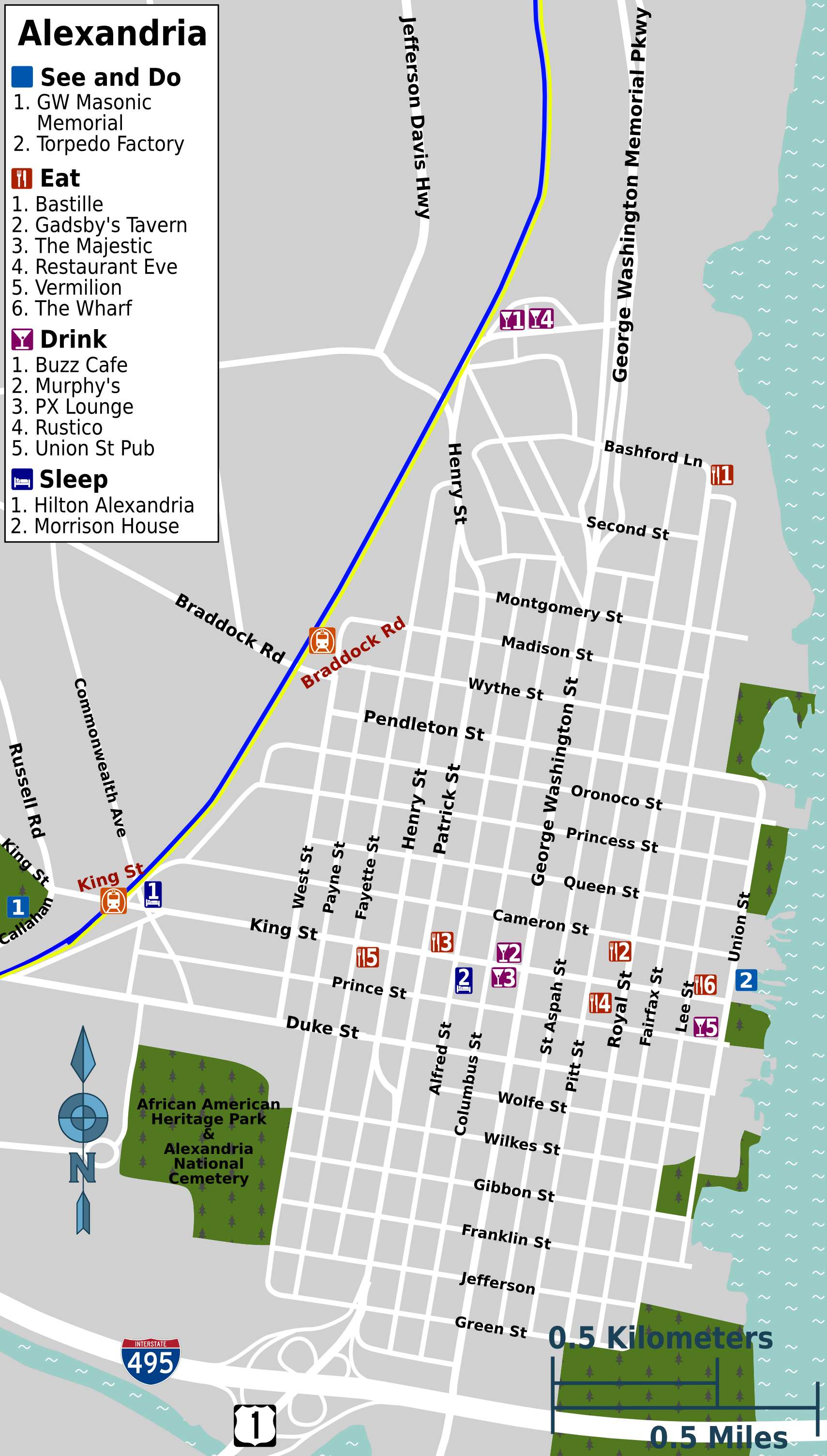
Alexandria is an independent city (United States), independent city in Northern Virginia, United States. It lies on the western bank of the Potomac River approximately south of Washington, D.C., D.C. The city's population of 159,467 at the 2020 census made it the List of cities in Virginia, sixth-most populous city in Virginia and List of United States cities by population, 169th-most populous city in the U.S. Alexandria is a principal city of the Washington metropolitan area, which is part of the larger Washington–Baltimore combined statistical area. Like the rest of Northern Virginia and Central Maryland, present-day Alexandria has been influenced by its proximity to the U.S. capital. It is largely populated by professionals working in the United States federal civil service, federal civil service, in the United States Armed Forces, U.S. military, or for one of the many private companies which contract to Government contractor, provide services to the Federal government of ... [...More Info...] [...Related Items...] OR: [Wikipedia] [Google] [Baidu] |
Virginia State Route 236
State Route 236 (SR 236) is a primary state highway in the U.S. state of Virginia. The state highway runs from U.S. Route 29 in Virginia, U.S. Route 29 and U.S. Route 50 in Virginia, US 50 in Fairfax, Virginia, Fairfax east to Virginia State Route 400, SR 400 in Alexandria, Virginia, Alexandria. SR 236 is a major suburban arterial highway that connects the independent city, independent cities of Fairfax and Alexandria via Annandale, Virginia, Annandale in Fairfax County, Virginia, Fairfax County. The state highway is known as Main Street in City of Fairfax, Little River Turnpike in Fairfax County, where the highway meets Interstate 495 (Capital Beltway), Interstate 495 (I-495), and Duke Street in Alexandria, where the road has junctions with Interstate 395 (District of Columbia – Virginia), I-395 and U.S. Route 1 in Virginia, US 1. Route description SR 236 begins at an intersection with US 29 and US 50 in the western part of the city of Fairfax. US 29 heads west-southwest a ... [...More Info...] [...Related Items...] OR: [Wikipedia] [Google] [Baidu] |
Dumfriesshire
Dumfriesshire or the County of Dumfries or Shire of Dumfries () is a Counties of Scotland, historic county and registration county in southern Scotland. The Dumfries lieutenancy areas of Scotland, lieutenancy area covers a similar area to the historic county. In terms of historic counties it borders Kirkcudbrightshire to the west, Ayrshire to the north-west, Lanarkshire, Peeblesshire and Selkirkshire to the north, and Roxburghshire to the east. To the south is the coast of the Solway Firth, and on the other side of the border between Scotland and England the England, English county of Cumberland. Dumfriesshire has three traditional subdivisions, based on the three main valleys in the county: Annandale, Dumfries and Galloway, Annandale, Eskdale, Scotland, Eskdale and Nithsdale. These had been independent provinces of Scotland, provinces in medieval times but were gradually superseded as administrative areas by the area controlled by the sheriff principal, sheriff of Dumfries, or ... [...More Info...] [...Related Items...] OR: [Wikipedia] [Google] [Baidu] |
Dumfries
Dumfries ( ; ; from ) is a market town and former royal burgh in Dumfries and Galloway, Scotland, near the mouth of the River Nith on the Solway Firth, from the Anglo-Scottish border. Dumfries is the county town of the Counties of Scotland, historic county of Dumfriesshire. Before becoming King of Scots, Robert the Bruce killed his rival John Comyn III of Badenoch at Greyfriars Kirk in the town in 1306. The Young Pretender had his headquarters here towards the end of 1745. In World War II, the Norwegian armed forces in exile in Britain largely consisted of a brigade in Dumfries. Dumfries is nicknamed ''Queen of the South''. This is also the name of the town's Queen of the South F.C., football club. People from Dumfries are known colloquially in Scots language as ''Doonhamers''. Toponymy There are a number of theories on the etymology of the name, with an ultimately Common Celtic, Celtic derivation (either from Common Brittonic, Brythonic, Old Irish, Gaelic or a mixture of b ... [...More Info...] [...Related Items...] OR: [Wikipedia] [Google] [Baidu] |
River Annan
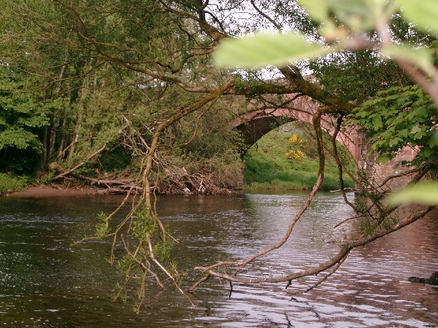
The River Annan is a river in south-west Scotland. It rises on Annanhead Hill and flows through the Devil's Beef Tub, Moffat and Lockerbie, reaching the sea at Annan, Dumfries and Galloway after about 40 miles. Name The etymology of the River Annan is unknown, although some sources suggest it may mean simply "water", from a Celtic language. It gave its name to Annandale, a former stewartry comprising a large portion of modern Dumfriesshire, and to the port town of Annan near its mouth. Description The Annan rises on Annanhead Hill, five miles north of Moffat, near the source of the Tweed ( away), and also close to the source of the Clyde ( away). It then flows through the Devil's Beef Tub, where it is joined by a secondary source that rises on Hartfell. It then flows past the town of Moffat and Lockerbie. Two miles out of Moffat, it is joined by the Moffat Water flowing westward from Loch Skene and the Evan Water flowing eastward from the upper part of Lanarkshire. ... [...More Info...] [...Related Items...] OR: [Wikipedia] [Google] [Baidu] |
Annan, Dumfries And Galloway
Annan ( ; ) is a town and former royal burgh in Dumfries and Galloway, south-west Scotland. Historically part of Dumfriesshire, its public buildings include Annan Academy, of which the writer Thomas Carlyle was a pupil, and a Georgian building now known as "Bridge House". Annan also features a Historic Resources Centre. In Port Street, some of the windows remain blocked up to avoid paying the window tax. Each year on the first Saturday in July, Annan celebrates the Royal Charter and the boundaries of the Royal Burgh are confirmed when a mounted cavalcade undertakes the Riding of the Marches. Entertainment includes a procession, sports, field displays and massed pipe bands. Annan's in America first migrated to New York and Virginia. Annandale Virginia is an early settlement which celebrates The Scottish Games annually. Geography Annan stands on the River Annan—from which it is named—nearly from its mouth, accessible to vessels of 60 tons as far as Annan Bridge ... [...More Info...] [...Related Items...] OR: [Wikipedia] [Google] [Baidu] |
The Washington Post
''The Washington Post'', locally known as ''The'' ''Post'' and, informally, ''WaPo'' or ''WP'', is an American daily newspaper published in Washington, D.C., the national capital. It is the most widely circulated newspaper in the Washington metropolitan area and has a national audience. As of 2023, the ''Post'' had 130,000 print subscribers and 2.5 million digital subscribers, both of which were the List of newspapers in the United States, third-largest among U.S. newspapers after ''The New York Times'' and ''The Wall Street Journal''. The ''Post'' was founded in 1877. In its early years, it went through several owners and struggled both financially and editorially. In 1933, financier Eugene Meyer (financier), Eugene Meyer purchased it out of bankruptcy and revived its health and reputation; this work was continued by his successors Katharine Graham, Katharine and Phil Graham, Meyer's daughter and son-in-law, respectively, who bought out several rival publications. The ''Post ... [...More Info...] [...Related Items...] OR: [Wikipedia] [Google] [Baidu] |
Falls Church, Virginia
Falls Church City is an independent city (United States), independent city in the Commonwealth (U.S. state), Commonwealth of Virginia, United States. As of the 2020 United States census, 2020 census, the population was 14,658. Falls Church is part of both Northern Virginia and the Washington metropolitan area. As of 2020, it has a median household income of $146,922, the List of highest-income counties in the United States, second-highest household income of any county in the nation behind Loudoun County, Virginia. Taking its name from the Falls Church, an 18th-century Church of England, later the Episcopal Church (United States), Episcopal Church, Falls Church gained township status within Fairfax County, Virginia, Fairfax County in 1875. In 1948, it seceded from Fairfax County and was incorporated as the City of Falls Church, an independent city with county-level governance status although it is not nominally a county. The city's corporate boundaries do not include all of t ... [...More Info...] [...Related Items...] OR: [Wikipedia] [Google] [Baidu] |
Springfield, Virginia
Springfield is a census-designated place (CDP) in Fairfax County, Virginia, Fairfax County, Virginia, United States. The Springfield CDP is recognized by the United States Census Bureau, U.S. Census Bureau with a population of 31,339 as of the 2020 United States census, 2020 census. Previously, per the 2010 United States Census, 2010 census, the population was 30,484. Homes and businesses in bordering CDPs including North Springfield, Virginia, North Springfield, West Springfield, Virginia, West Springfield, and Newington, Virginia, Newington are usually given a Springfield mailing address. The CDP is a part of Northern Virginia, the most populous region of the Washington Metropolitan Area. Geography Springfield is located at (38.779238, −77.184636). According to the United States Census Bureau, the CDP has a total area of 7.9 square miles (20.4 km2), of which, 7.9 square miles (20.3 km2) of it is land and 0.04 square miles (0.1 km2) of it (0.49 ... [...More Info...] [...Related Items...] OR: [Wikipedia] [Google] [Baidu] |


