|
Amish Acres
The Barns at Nappanee, Home of Amish Acres, formerly known solely as Amish Acres, is a tourist attraction in Nappanee, Indiana, created from an Old Order Amish farm. The farm was purchased in October 1968 at auction from the Manasses Kuhns’ estate. The farm was homesteaded by Moses Stahly in 1873. Moses was the son of pioneer Christian Stahly who emigrated from Germany with his widowed mother Barbara and three brothers to the southwest corner of Elkhart County in 1839; making them, perhaps, the earliest Amish settlers in Indiana. Amish Acres opened to the public in June 1970 after more than a year of restoration. The complex grew to include the original nine buildings, two relocated log buildings, an ice house, a mint distillery, a maple sugar camp, an apple cider mill, a one-room school, and a blacksmith shop. Three bank barns and the Round Barn Theatre have also been moved to the property. The original farmstead is listed in the National Register of Historic Places. Amis ... [...More Info...] [...Related Items...] OR: [Wikipedia] [Google] [Baidu] |
Amish Acres Enter IMG 1356
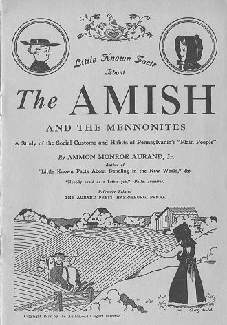
The Amish (; pdc, Amisch; german: link=no, Amische), formally the Old Order Amish, are a group of traditionalist Anabaptist Christian church fellowships with Swiss German and Alsatian origins. They are closely related to Mennonite churches, another Anabaptist denomination. The Amish are known for simple living, plain dress, Christian pacifism, and slowness to adopt many conveniences of modern technology, with a view neither to interrupt family time, nor replace face-to-face conversations whenever possible, and a view to maintain self-sufficiency. The Amish value rural life, manual labor, humility and '' Gelassenheit'' (submission to God's will). The history of the Amish church began with a schism in Switzerland within a group of Swiss and Alsatian Mennonite Anabaptists in 1693 led by Jakob Ammann. Those who followed Ammann became known as Amish. In the second half of the 19th century, the Amish divided into Old Order Amish and Amish Mennonites; the latter do not abstain ... [...More Info...] [...Related Items...] OR: [Wikipedia] [Google] [Baidu] |
Elkhart River
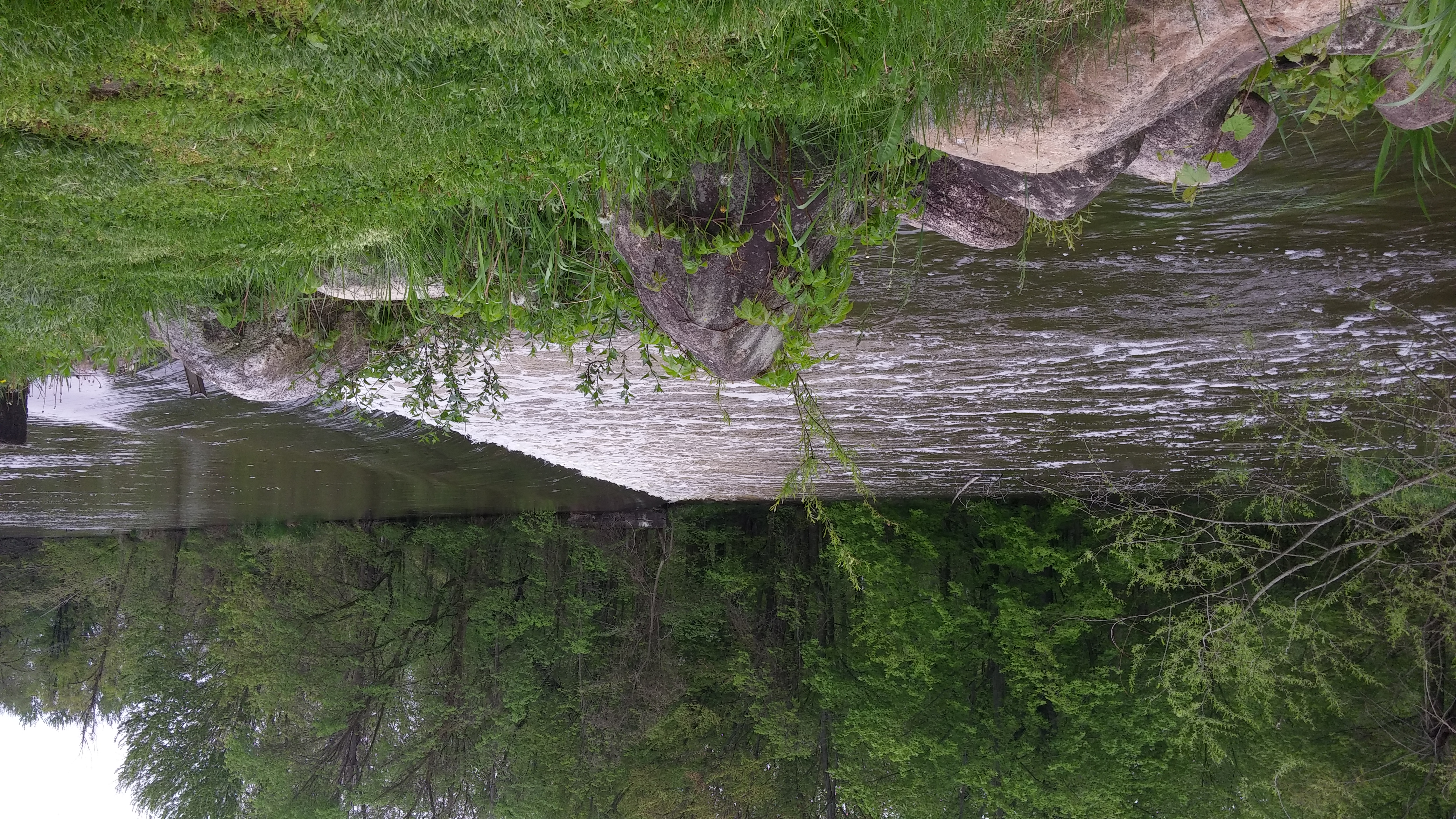
The Elkhart River is a U.S. Geological Survey. National Hydrography Dataset high-resolution flowline dataThe National Map , accessed May 19, 2011 tributary of the St. Joseph River in northern Indiana in the United States. It is almost entirely contained in Elkhart County. It begins as the South Branch Elkhart River from Port Mitchell Lake and the North Branch Elkhart River from Waldron Lake and merge to form the Elkhart River west of Wawaka, Indiana. It flows generally westward through Benton and then turns northward. It then flows through Baintertown and Waterford Mills into the Goshen Dam Pond. From there it flows northwest through Goshen, Dunlap and Elkhart. It flows into the St. Joseph River at Island Park just north of downtown Elkhart. Indiana Department of Natural Resources. Retrieved 24 January 2010. [...More Info...] [...Related Items...] OR: [Wikipedia] [Google] [Baidu] |
Clapboard (architecture)
Clapboard (), also called bevel siding, lap siding, and weatherboard, with regional variation in the definition of these terms, is wooden siding of a building in the form of horizontal boards, often overlapping. ''Clapboard'' in modern American usage is a word for long, thin boards used to cover walls and (formerly) roofs of buildings. Historically, it has also been called ''clawboard'' and ''cloboard''. In the United Kingdom, Australia and New Zealand, the term ''weatherboard'' is always used. An older meaning of "clapboard" is small split pieces of oak imported from Germany for use as barrel staves, and the name is a partial translation (from , "to fit") of Middle Dutch and related to German . Types Riven Clapboards were originally riven radially producing triangular or "feather-edged" sections, attached thin side up and overlapped thick over thin to shed water. [...More Info...] [...Related Items...] OR: [Wikipedia] [Google] [Baidu] |
Reno County, Kansas
Reno County (standard abbreviation: RN) is a county located in the U.S. state of Kansas. As of the 2020 census, the population was 61,898. The largest city and county seat is Hutchinson. History Early history For many millennia, the Great Plains of North America was inhabited by nomadic Native Americans. From the 16th century to 18th century, the Kingdom of France claimed ownership of large parts of North America. In 1762, after the French and Indian War, France secretly ceded New France to Spain, per the Treaty of Fontainebleau. 19th century In 1802, Spain returned most of the land to France, but keeping title to about 7,500 square miles. In 1803, most of the land for modern day Kansas was acquired by the United States from France as part of the 828,000 square mile Louisiana Purchase for 2.83 cents per acre. In 1854, the Kansas Territory was organized, then in 1861 Kansas became the 34th U.S. state. In 1867, Reno County was established, named for General Jesse ... [...More Info...] [...Related Items...] OR: [Wikipedia] [Google] [Baidu] |
Nervine
Nervine was a patent medicine tonic with sedative effects introduced in 1884 by Dr. Miles Medical Company (later Miles Laboratories which was absorbed into Bayer). It is a cognate of 'Nerve', and the implication was that the material worked to calm nervousness. Formulation One form of Nervine was formulated with the primary active ingredients sodium bromide, ammonium bromide, and potassium bromide, combined with sodium bicarbonate and citric acid in an effervescent tablet.{{cite web, url= https://americanhistory.si.edu/collections/search/object/nmah_1339050 , title= Miles Nervine Effervescent Tablets, website= National Museum of American History, date= c. 1940, access-date= April 24, 2022 Modern appropriation of term In the late 20th and early 21st century, promulgators of alternative medicine and herbalism have begun to use the term Nervine as an adjective. This is not a term used by mainstream medicine, where anxiolytic An anxiolytic (; also antipanic or antianxiety ... [...More Info...] [...Related Items...] OR: [Wikipedia] [Google] [Baidu] |
Planing Mill
A planing mill is a facility that takes cut and seasoned boards from a sawmill and turns them into finished dimensional lumber. Machines used in the mill include the planer and matcher, the molding machines, and varieties of saws. In the planing mill planer operators use machines that smooth and cut the wood for many different uses. See also * Plane (tool) *Thickness planer References External linksHistoric image of the Philomath, Oregon planing millfrom the Oregon State University Oregon State University (OSU) is a public land-grant, research university in Corvallis, Oregon. OSU offers more than 200 undergraduate-degree programs along with a variety of graduate and doctoral degrees. It has the 10th largest engineering c ... archives {{Woodworking Timber industry Sawmill technology Timber preparation Industrial buildings ... [...More Info...] [...Related Items...] OR: [Wikipedia] [Google] [Baidu] |
Kankakee River
The Kankakee River is a tributary of the Illinois River, approximately long, in the Central Corn Belt Plains of northwestern Indiana and northeastern Illinois in the United States. At one time, the river drained one of the largest wetlands in North America and furnished a significant portage between the Great Lakes and the Mississippi River. Significantly altered from its original channel, it flows through a primarily rural farming region of reclaimed cropland, south of Lake Michigan. Description The Kankakee rises in northwestern Indiana, approximately southwest of South Bend, Indiana. It flows in a straight channelized course, generally southwestward through rural northwestern Indiana, collecting the Yellow River from the south in Starke County, and passing the communities of South Center and English Lake. It forms the border between LaPorte, Porter, and Lake counties on the north and Starke, Jasper, and Newton counties on the south. The river curves westward and ceases ... [...More Info...] [...Related Items...] OR: [Wikipedia] [Google] [Baidu] |
Goshen, Indiana
Goshen ( ) is a city in and the county seat of Elkhart County, Indiana, United States. It is the smaller of the two principal cities of the Elkhart-Goshen Metropolitan Statistical Area, which in turn is part of the South Bend-Elkhart-Mishawaka Combined Statistical Area. It is located in the northern part of Indiana near the Michigan border, in a region known as Michiana. Goshen is located 10 miles southeast of Elkhart, Indiana, Elkhart, 25 miles southeast of South Bend, Indiana, South Bend, 120 miles east of Chicago, and 150 miles north of Indianapolis. The population was 34,517 at the 2020 United States Census, 2020 census. The city is known as an extremely prominent recreational vehicle and accessories manufacturing center, the home of Goshen College, a small Mennonite liberal arts college, and the Elkhart County 4-H Fair, the largest county fair in the United States. History Before the arrival of white colonists, the land that is today Goshen, Indiana, was populated by Nat ... [...More Info...] [...Related Items...] OR: [Wikipedia] [Google] [Baidu] |
Chicago
(''City in a Garden''); I Will , image_map = , map_caption = Interactive Map of Chicago , coordinates = , coordinates_footnotes = , subdivision_type = Country , subdivision_name = United States , subdivision_type1 = State , subdivision_type2 = Counties , subdivision_name1 = Illinois , subdivision_name2 = Cook and DuPage , established_title = Settled , established_date = , established_title2 = Incorporated (city) , established_date2 = , founder = Jean Baptiste Point du Sable , government_type = Mayor–council , governing_body = Chicago City Council , leader_title = Mayor , leader_name = Lori Lightfoot ( D) , leader_title1 = City Clerk , leader_name1 = Anna Valencia ( D) , unit_pref = Imperial , area_footnotes = , area_tot ... [...More Info...] [...Related Items...] OR: [Wikipedia] [Google] [Baidu] |
Sandusky, Ohio
Sandusky ( ) is a city in and the county seat of Erie County, Ohio, Erie County, Ohio, United States. Situated along the shores of Lake Erie in the northern part of the state, Sandusky is located roughly midway between Toledo, Ohio, Toledo ( west) and Cleveland ( east). According to United States Census 2020, 2020 census, the city had a population of 25,095, and the Sandusky metropolitan area, Sandusky micropolitan area had 75,622 residents. Sandusky is home to the Cedar Fair Entertainment Company, which owns large amounts of property in Sandusky. These properties include Cedar Point, Cedar Fair's flagship park and one of the most popular amusement parks in the world, as well as Cedar Point Shores, adjacent to Cedar Point itself. In 2011, Sandusky was ranked No. 1 by ''Forbes'' as the "Best Place to Live Cheaply" in the United States due to its high median family income of $64,000 compared to its relatively low cost of living. The National Arbor Day Foundation has designated Sand ... [...More Info...] [...Related Items...] OR: [Wikipedia] [Google] [Baidu] |
Baltimore And Ohio Chicago Terminal Railroad
The Baltimore and Ohio Chicago Terminal Railroad is a terminal railroad in the Chicago area, formerly giving various other companies access to (Chicago's) Grand Central Station. It also served to connect those railroads for freight transfers, and is now controlled by CSX Corporation, the successor to the Baltimore and Ohio Railroad. History By 1886, the Wisconsin Central Railroad had formed a new railway company, called the Chicago and Great Western Railroad (C&GW, not to be confused with the Chicago Great Western Railway) to build a new line from a connection with the WC at Forest Park into the city, and to construct the Grand Central Station, which opened in December 1890. In June 1887, a subsidiary of the Northern Pacific Railroad called the Chicago & Calumet Terminal Railway (C&CT) consolidated several terminal railroads in the Chicago area with lines running between the Atchison, Topeka & Santa Fe Railway at McCook, Illinois to the south and south-east to Hammond, Indiana an ... [...More Info...] [...Related Items...] OR: [Wikipedia] [Google] [Baidu] |


.jpg)

