|
Al-Zayadina
Al-Zayadina (singular: Zaydani or Zidany, also called the Banu Zaydan) were an Arab clan based in the Galilee. They were best known after one of their sheikhs (chiefs) Zahir al-Umar, who, through his tax farms, economic monopolies, popular support, and military strength ruled a semi-autonomous sheikhdom in northern Palestine and adjacent regions in the 18th century.Joudah, 1987, p. 19. History Origins According to the historian Ahmad Hasan Joudah, the origins of the Zayadina are obscure, but that they were certainly of Arab tribal stock. Members of the clan claim descent from Zayd, the son of Hasan ibn Ali and grandson of Ali, the fourth caliph of Islam. However, the historians Mikha'il Sabbagh and Isa al-Ma'luf assert that the clan's ancestor was rather a man named Zaydan, hence their name ' anuZaydan' (plural: 'Zayadina'). Several historians believe the clan was originally from the Hejaz (western Arabia), and that they migrated to the Levant during Saladin's conquest of the r ... [...More Info...] [...Related Items...] OR: [Wikipedia] [Google] [Baidu] |
Zahir Al-Umar
Zahir al-Umar al-Zaydani, alternatively spelled Daher al-Omar or Dahir al-Umar ( ar, ظاهر العمر الزيداني, translit=Ẓāhir al-ʿUmar az-Zaydānī, 1689/90 – 21 or 22 August 1775) was the autonomous Arab ruler of northern Ottoman Palestine, Palestine in the mid-18th century, while the region was part of the Ottoman Empire. For much of his reign, starting in the 1730s, his domain mainly consisted of the Galilee, with successive headquarters in Tiberias, Deir Hanna and finally Acre, Palestine, Acre, in 1750. He fortified Acre, and the city became the center of the cotton trade between Palestine and Europe. In the mid-1760s, he reestablished the port town of Haifa nearby. Zahir withstood sieges and assaults by the Ottoman governors of Damascus Eyalet, Damascus, who attempted to limit or eliminate his influence. He was often supported in these confrontations by the Shia Muslim clans of Jabal Amil. In 1771, in alliance with Ali Bey al-Kabir of the Egypt Eyalet and wi ... [...More Info...] [...Related Items...] OR: [Wikipedia] [Google] [Baidu] |
Safed
Safed (known in Hebrew language, Hebrew as Tzfat; Sephardi Hebrew, Sephardic Hebrew & Modern Hebrew: צְפַת ''Tsfat'', Ashkenazi Hebrew pronunciation, Ashkenazi Hebrew: ''Tzfas'', Biblical Hebrew: ''Ṣǝp̄aṯ''; ar, صفد, ''Ṣafad''), is a city in the Northern District (Israel), Northern District of Israel. Located at an elevation of , Safed is the highest city in the Galilee and in Israel. Safed has been identified with ''Sepph,'' a fortified town in the Upper Galilee mentioned in the writings of the Roman Jewish historian Josephus. The Jerusalem Talmud mentions Safed as one of five elevated spots where fires were lit to announce the Rosh Chodesh, New Moon and festivals during the Second Temple period. Safed attained local prominence under the Crusaders, who built a large fortress there in 1168. It was conquered by Saladin 20 years later, and demolished by his grandnephew al-Mu'azzam Isa in 1219. After reverting to the Crusaders in a treaty in 1240, a larger fortress wa ... [...More Info...] [...Related Items...] OR: [Wikipedia] [Google] [Baidu] |
Umar Al-Zaydani
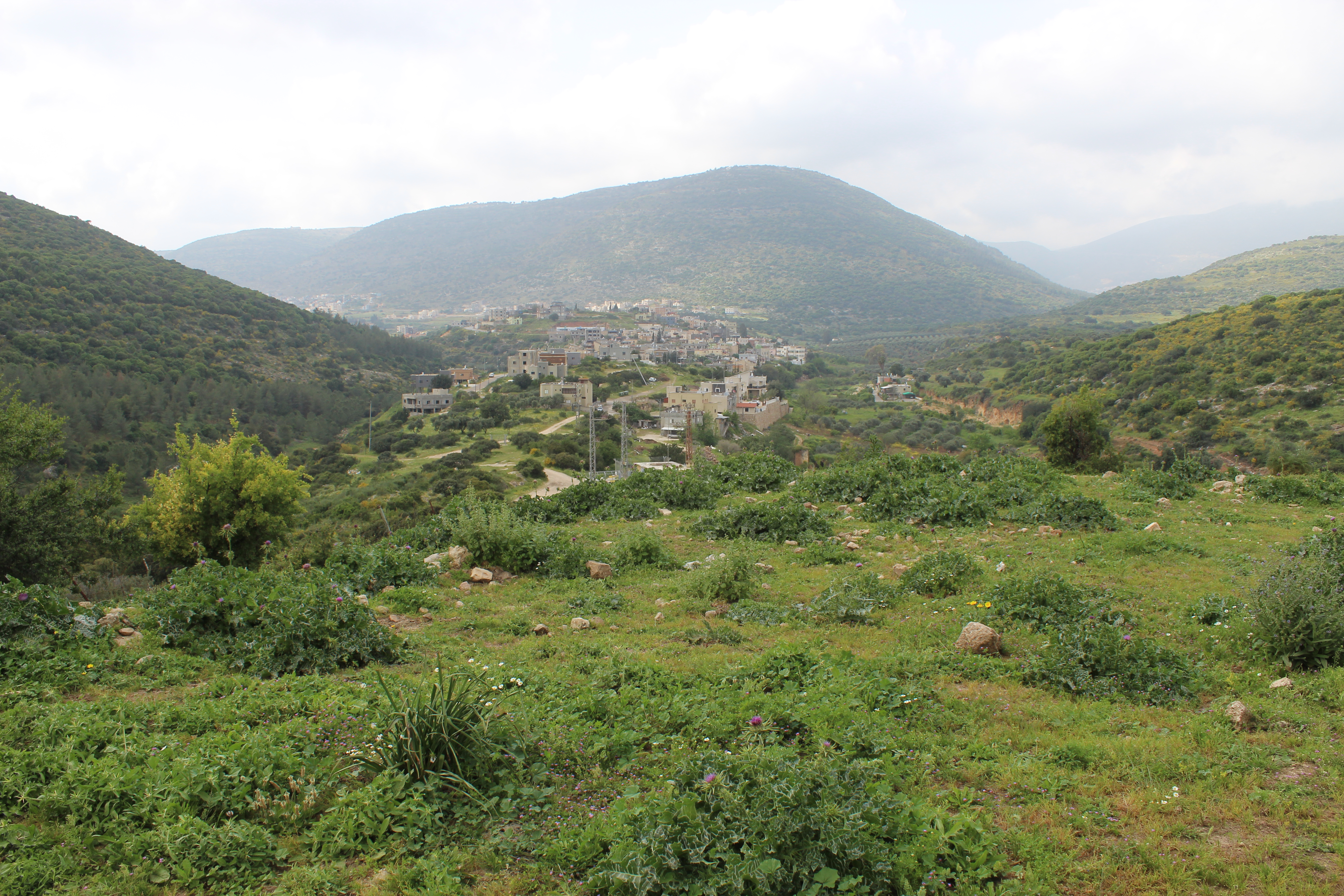
Umar al-Zaydani (died 1706) was the '' multazem'' (tax farmer) of Safad and Tiberias, and surrounding villages, between 1697 and 1706 and the ''sanjak-bey'' (district governor) of Safad between 1701 and 1706.Joudah 1987, pp. 20-21. He was appointed by the governor of Sidon, Arslan Mehmed Pasha, the ''sanjak-bey'' (district governor) of Safad.Harris 2012, p. 114. Umar belonged to the Zayadina, an Arab clan that was part of the same Qaisi confederation as the semi-autonomous Shihab ''emirs'' (princes) of Mount Lebanon. Following Emir Mansour's death, Umar succeeded him as ''sanjak-bey''. Umar was the father of Zahir al-Umar. References Bibliography * * {{s-end 1706 deaths 17th-century people from the Ottoman Empire 18th-century people from the Ottoman Empire Ottoman rulers of Galilee People from Arraba, Israel Omar ʿUmar ibn al-Khaṭṭāb ( ar, عمر بن الخطاب, also spelled Omar, ) was the second Rashidun caliph, ruling from August 634 until his a ... [...More Info...] [...Related Items...] OR: [Wikipedia] [Google] [Baidu] |
Qays–Yaman Rivalry
The Qays–Yaman rivalry refers to the historical rivalries and feuds between the northern Arabian Qays tribes and the southern Arabian Yaman tribes. The conflict emerged among the tribes within the Umayyad Caliphate's army and administration in the 7th and 8th centuries. Membership in either faction was rooted in real or perceived genealogical origins of the tribes, which divided them into south Arabian descendants of Qahtan (Yaman) or north Arabian descendants of Adnan (Qays). Yamani tribes, including the Kalb, Ghassan, Tanukh, Judham and Lakhm, were well-established in central and southern Syria in pre-Islamic times, while Qaysi tribes, such as the Sulaym, Kilab and Uqayl, largely migrated to northern Syria and Upper Mesopotamia with the Muslim armies in the mid-7th century. The Qays–Yaman feud did not effectively take shape until after the reign of Caliph Mu'awiyah I, who, along with his Sufyanid descendants, were tied to the Kalb, the leading tribe of Yaman, through marriag ... [...More Info...] [...Related Items...] OR: [Wikipedia] [Google] [Baidu] |
Tiberias
Tiberias ( ; he, טְבֶרְיָה, ; ar, طبريا, Ṭabariyyā) is an Israeli city on the western shore of the Sea of Galilee. A major Jewish center during Late Antiquity, it has been considered since the 16th century one of Judaism's Four Holy Cities, along with Jerusalem, Hebron, and Safed. In , it had a population of . Tiberias was founded circa 20 CE by Herod Antipas and was named after Roman emperor Tiberius. It became a major political and religious hub of the Jews in the Land of Israel after the destruction of Jerusalem and the desolation of Judea during the Jewish–Roman wars. From the time of the second through the tenth centuries CE, Tiberias was the largest Jewish city in the Galilee, and much of the Mishna and the Jerusalem Talmud were compiled there. Tiberias flourished during the early Islamic period, when it served as the capital of Jund al-Urdunn and became a multi-cultural trading center.Hirschfeld, Y. (2007). Post-Roman Tiberias: between East and We ... [...More Info...] [...Related Items...] OR: [Wikipedia] [Google] [Baidu] |
Aleppo
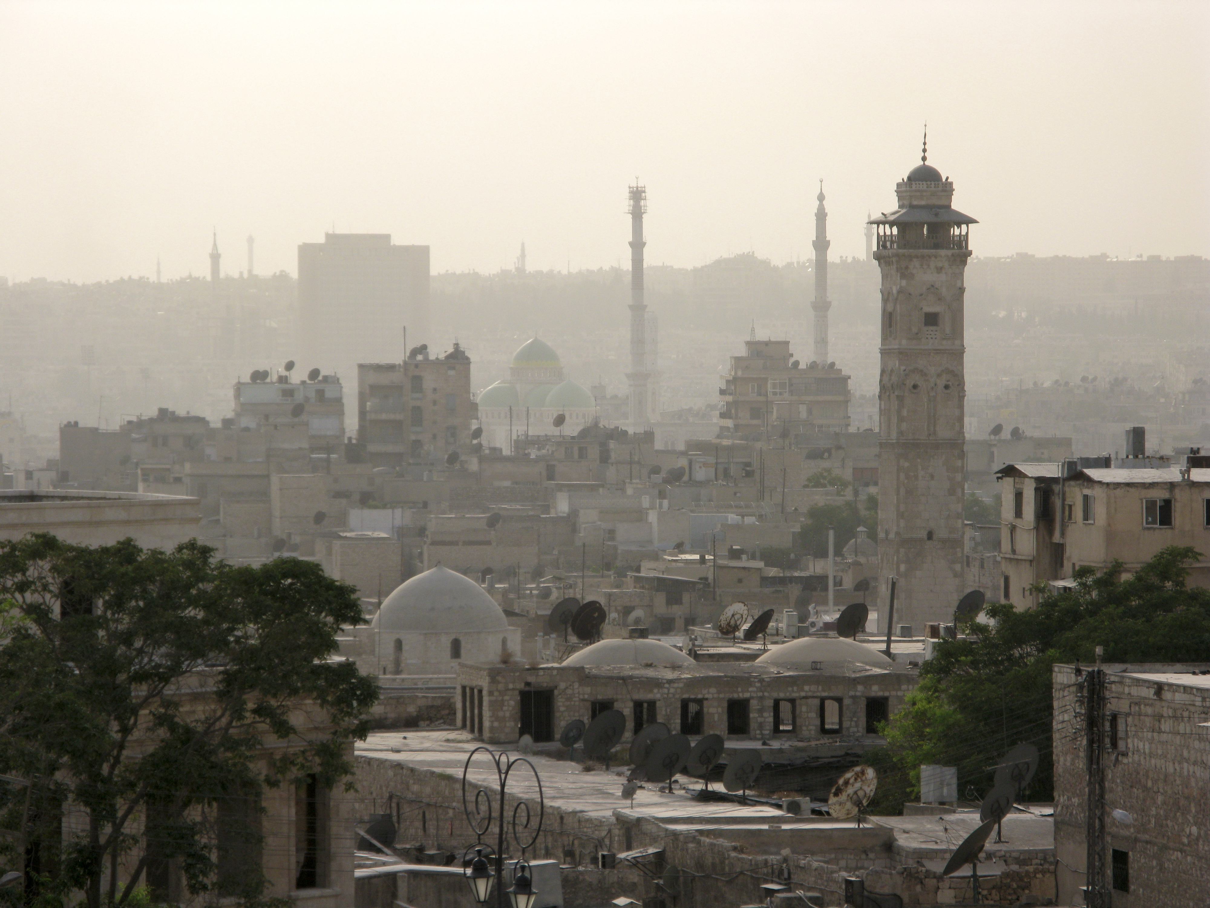
)), is an adjective which means "white-colored mixed with black". , motto = , image_map = , mapsize = , map_caption = , image_map1 = , mapsize1 = , map_caption1 = , pushpin_map = Syria#Mediterranean east#Asia#Syria Aleppo , pushpin_label_position = left , pushpin_relief = yes , pushpin_mapsize = , pushpin_map_caption = Location of Aleppo in Syria , coordinates = , subdivision_type = Country , subdivision_name = , subdivision_type1 = Governorate , subdivision_type2 = District , subdivision_type3 = Subdistrict , subdivision_name1 = Aleppo Governorate , subdivision_name2 = Mount Simeon (Jabal Semaan) , subdivision_name3 = Mount Simeon ( ... [...More Info...] [...Related Items...] OR: [Wikipedia] [Google] [Baidu] |
Dallata
Dallata ( ar, دلاّتة) was a Palestinian Arab village, located on a hilltop north of Safad. Constructed upon an ancient site, it was known to the Crusaders as ''Deleha''. Dallata was included in the late 16th century Ottoman census and British censuses of the 20th century. Its inhabitants were primarily agriculturalists, with some involved in carpentry or trade. Dallata was depopulated during the 1948 Palestine war on around May 10, 1948 by the Palmach's First Battalion of Operation Yiftach. Following the establishment of Israel, the Israeli locality of Dalton was established about southwest of the village site. History Dallata was located on the upper slope of a hill, built on the ruins of an ancient occupied site. Excavations have found remains of settlements and agricultural installation from the Chalcolithic and Early Bronze Age.Bron, 2009Dalton, Survey/ref> Tombs had been located in the vicinity. An excavation carried out in 2006 on a location halfway between the ce ... [...More Info...] [...Related Items...] OR: [Wikipedia] [Google] [Baidu] |
Kammaneh
Kammaneh ( ar, الكمانه, he, כמאנה) is a Bedouin village in northern Israel. It is the result of the merger between Sawae'd (Kammaneh East) and Kamun (Kammaneh West). Located near Mount Kamun (Jabal Kamun) and to the north of Sakhnin, it falls under the jurisdiction of Misgav Regional Council. In it had a population of . History Kammaneh was founded in the early 19th century when Negev Bedouins began to establish permanent settlements in the Galilee. The Suweid tribe who were one of the first Bedouin tribes to settle in the region found an area atop Mount Kamon (Jabal Kamun) and they named it Kammana or "ambush". They, like most Arabs in the Galilee depended on agriculture for survival. In 1963, Israeli authorities declared Kammaneh or Area 9 as a military training zone endangering inhabitants by stray bullets or mortar rounds. Two years later the village was declared "unrecognized" by the Israeli Ministry of Interior as a part of the Planning and Construction Law. ... [...More Info...] [...Related Items...] OR: [Wikipedia] [Google] [Baidu] |
Sallama
Sallama ( ar, سلامة; he, סלאמה) is a Bedouin village in northern Israel. Located in the Galilee near the Tzalmon Stream, it falls under the jurisdiction of Misgav Regional Council. In its population was . The village was recognized by the state in 1976. History Sallama has been identified as the site of the village of Selamin (Salmon or Tselamon) in the Roman Province of Galilee. At some point between 1688 and 1692, the Zayadina family, who not long before moved to the nearby village of Arraba, had assaulted and destroyed Sallama, whose Druze sheikh controlled the Shaghur subdistrict to which both villages belonged.Firro 1997, pp. 45–46. The Druze subsequently fled Sallama and at least eight other villages in the subdistrict, including Kammaneh and Dallata. At least some of these Druze migrated to the Hauran to join their co-religionists. The Zayadina meanwhile began their influence in the Galilee and gained the tax farm of Shaghur. In 1875, on the top of the sit ... [...More Info...] [...Related Items...] OR: [Wikipedia] [Google] [Baidu] |
Safed Sanjak
Safed Sanjak ( ar, سنجق صفد; tr, Safed Sancağı) was a ''sanjak'' (district) of Damascus Eyalet ( Ottoman province of Damascus) in 1517–1660, after which it became part of the Sidon Eyalet (Ottoman province of Sidon). The sanjak was centered in Safed and spanned the Galilee, Jabal Amil and the coastal cities of Acre and Tyre. The city of Safed was made up of Muslim and Jewish townspeople, while the rest of the sanjak was populated by Sunni Muslims, Jewish peasants, Bedouin tribesmen, Shia Muslims and Druze peasants. Territory and demographics The territory of Safed Sanjak consisted of the area between the Zahrani River in the north to Mount Carmel (near Haifa) in the south, and the area between the Sea of Galilee in the east and the Mediterranean Sea to the west. Besides Safed, it included the port cities of Acre and Tyre and the entire Galilee and Jabal Amil area. The district had a mixed population of peasants and Bedouin. The inhabitants of the Jabal Amil region wer ... [...More Info...] [...Related Items...] OR: [Wikipedia] [Google] [Baidu] |
Ma'n Dynasty
The Ma'n dynasty ( ar, ٱلْأُسْرَةُ ٱلْمَعْنِيَّةُ, Banū Maʿn, alternatively spelled ''Ma'an''), also known as the Ma'nids; ( ar, ٱلْمَعْنِيُّونَ), were a family of Druze chiefs of Arab stock based in the rugged Chouf area of southern Mount Lebanon who were politically prominent in the 15th–17th centuries. Traditional Lebanese histories date the family's arrival in the Chouf to the 12th century, when they were held to have struggled against the Crusader lords of Beirut and Sidon alongside their Druze allies, the Tanukh Buhturids. They may have been part of a wider movement by the Muslim rulers of Damascus to settle militarized Arab tribesmen in Mount Lebanon as a buffer against the Crusader strongholds along the Levantine coast. Fakhr al-Din Uthman ibn Yunus Ma'n (), the first member of the family whose historicity is certain, was the "emir of the Chouf", according to contemporary sources and, despite the non-use of mosques by the Druze ... [...More Info...] [...Related Items...] OR: [Wikipedia] [Google] [Baidu] |
Mount Lebanon
Mount Lebanon ( ar, جَبَل لُبْنَان, ''jabal lubnān'', ; syr, ܛܘܪ ܠܒ݂ܢܢ, ', , ''ṭūr lewnōn'' french: Mont Liban) is a mountain range in Lebanon. It averages above in elevation, with its peak at . Geography The Mount Lebanon range extends along the entire country for about , parallel to the Mediterranean coast. Their highest peak is Qurnat as Sawda', at . The range receives a substantial amount of precipitation, including snow, which averages around deep.Jin and Krothe. ''Hydrogeology: Proceedings of the 30th International Geological Congress'', p. 170 Lebanon has historically been defined by the mountains, which provided protection for the local population. In Lebanon, changes in scenery are related less to geographical distances than to altitudes. The mountains were known for their oak and pine forests. The last remaining old growth groves of the famous Cedar of Lebanon (''Cedrus libani'' var. libanii'') are on the high slopes of Mount Lebanon, in th ... [...More Info...] [...Related Items...] OR: [Wikipedia] [Google] [Baidu] |


.jpg)


