|
Advihir
Advihir is a village in Motala taluka of Buldhana district, Amravati division, Maharashtra Maharashtra (; , abbr. MH or Maha) is a states and union territories of India, state in the western India, western peninsular region of India occupying a substantial portion of the Deccan Plateau. Maharashtra is the List of states and union te ..., India, and is 5 km east of Motala on Nandura–Motala road ( MH SH 196). As of 1976 Gazette, Advihir had around 2217 acres of agriculture land and 923 agriculturist in 569 houses. Advihir is one of the milk providing towns in Buldhana district. Around 5000 to 12000 liters of milk are exported daily from Advihir. Nandura and Malkapur are nearby railway stations. There is a primary and secondary school in the village. There are nine temples in the village. Notes Villages in Buldhana district {{Buldhana-geo-stub ... [...More Info...] [...Related Items...] OR: [Wikipedia] [Google] [Baidu] |
Motala, Buldhana
Motala is a township, or ''tehsil'', in the Buldhana district in the Indian state of Maharashtra. One of its villages, Thal, is said to be the birthplace of Gajanan Maharaj. Motala market is a centre of economic activity, partially due to the good communication links between the villages. Villages in Motala taluka include Jaipur, Buldhana Korhala, kharbadi, Kothali, Dhamangaon Badhe, Rohinkhed, Shelapur, Takarkhed and Rajur. Irrigation An earth-fill dam on the Nalganga River provides water for irrigation. Education Motala has educational facilities from preschool to graduation level. Tertiary educational institutions include: Shri Shivaji Arts, Commerce & Science College, Motala*Late Babanrao Deshpande School & Jr. College, MotalaJawahar Urdu High School & Jr. College, Motala*The Motala Defence Academy Administration Motala Nagarpanchayat is responsible for citizen services and some administrative matters in Motala city. It has an administrative as well as technical (engineer ... [...More Info...] [...Related Items...] OR: [Wikipedia] [Google] [Baidu] |
MH SH 196
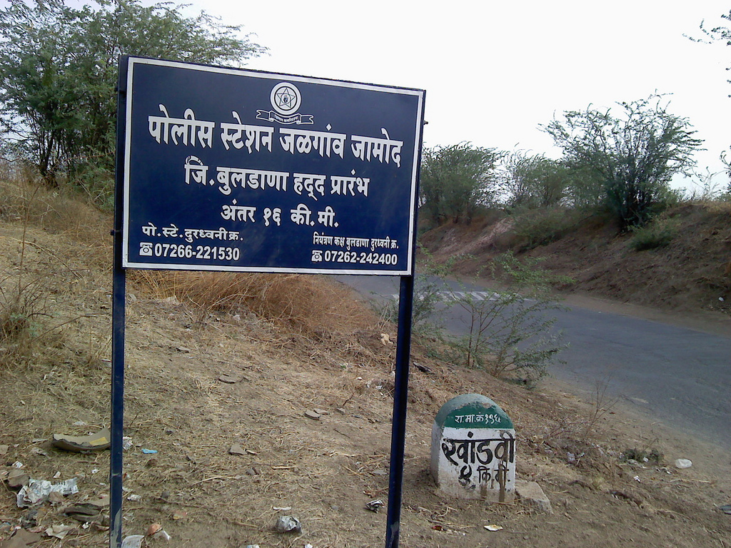
Maharashtra State Highway 196 (MH SH 196) is a State Highway running entirely through the Buldhana district of Maharashtra. It connects Motala on State Highway 176 to Khandvi on State Highway 194. It runs through the Motala, Nandura, and Jalgaon Jamod tehsils of the district. Course MH SH 196 starts at Motala along with State Highway 188 and both roads follow the same course from Motala to Tarwadi passing by Advihir, Shemba, Khaira. The road then goes by Mahalungi before it enters Nandura. At Nandura, it takes a northwards turn and crosses National Highway 6 and Mumbai-Howrah rail line. From Nandura going towards Khandvi, it goes by Nimgaon, Yerali, Manegaon, and Zadegaon. It has a bridge over Purna River Purna is a town in Parbhani district in the Indian state of Maharashtra. Purna may also refer to: * Purna River (tributary of Godavari), a river of Maharashtra, India * Purna River (tributary of Tapti), a river of Maharashtra, India ** Purna Dam, .. ... [...More Info...] [...Related Items...] OR: [Wikipedia] [Google] [Baidu] |
Buldhana District
Buldhana district (Marathi pronunciation: ulɖʰaːɳa is located in the Amravati division of Maharashtra, India. It is situated at the western border of Vidarbha region and is 500 km away from the state capital, Mumbai. The district has towns and cities like Shegaon, Jalgaon Jamod, Malkapur, Khamgaon, Lonar, Mehkar, and Chikhli. It is surrounded by Madhya Pradesh in the north, Akola, Washim, and Amravati districts on the east, Jalna district on the south, and Jalgaon and Aurangabad districts on the west. Khamgaon is the largest city in the district. Latitudes are 19.51° to 21.17° N and longitudes are 75.57° to 76.59° E. Buldhana district holds religious significance as it is the site of the Shri Gajanan Maharaj Temple, Shegaon. Lonarkar Top (about 923 meters) is highest altitude in Buldhana District placed in Ambabarwa Wildlife Sanctuary. History The name of the district is probably derived from ''Bhil Thana'' (place of Bhils, a tribal group). Buldhana, along wi ... [...More Info...] [...Related Items...] OR: [Wikipedia] [Google] [Baidu] |
Maharashtra
Maharashtra (; , abbr. MH or Maha) is a states and union territories of India, state in the western India, western peninsular region of India occupying a substantial portion of the Deccan Plateau. Maharashtra is the List of states and union territories of India by population, second-most populous state in India and the second-most populous country subdivision globally. It was formed on 1 May 1960 by splitting the bilingual Bombay State, which had existed since 1956, into majority Marathi language, Marathi-speaking Maharashtra and Gujarati language, Gujarati-speaking Gujarat. Maharashtra is home to the Marathi people, the predominant ethno-linguistic group, who speak the Marathi language, Marathi language, the official language of the state. The state is divided into 6 Divisions of Maharashtra, divisions and 36 List of districts of Maharashtra, districts, with the state capital being Mumbai, the List of million-plus urban agglomerations in India, most populous urban area in India ... [...More Info...] [...Related Items...] OR: [Wikipedia] [Google] [Baidu] |
Nandura
Nandura is a city municipal council in the Buldhana district, Maharashtra, India. It is the headquarters of Nandura taluka and is situated on the National Highway No. 6 and the Mumbai-Howrah railway line. Nandura is an important city in the Buldhana district. The municipality of Nandura was established during the British Raj in 1931. Nandura is famous for 'Khawa' (condensed milk). The place is major supplier of milk products to all nearby area. History According to 'Mahagovind Sutant' a Buddhist novel, Nandura was established in ancient time. It was capital of 'Assak' kingdom (one of the 16 ancient kingdoms (Mahajanpad) in ancient India (2600 B.C.). Nandura was called as 'Potan' at that time. According to Ain-e-Akbari, Nandura was an integral part of Gulshan-e-Berar in the Medieval era, beginning in the Khilji dynasty until the Mughal era. The city remembers various rulers, Saints (Sant) of Maharashtra who ruled on the land and the heart of the people of Nandura. Various links ... [...More Info...] [...Related Items...] OR: [Wikipedia] [Google] [Baidu] |


