|
A580 Road
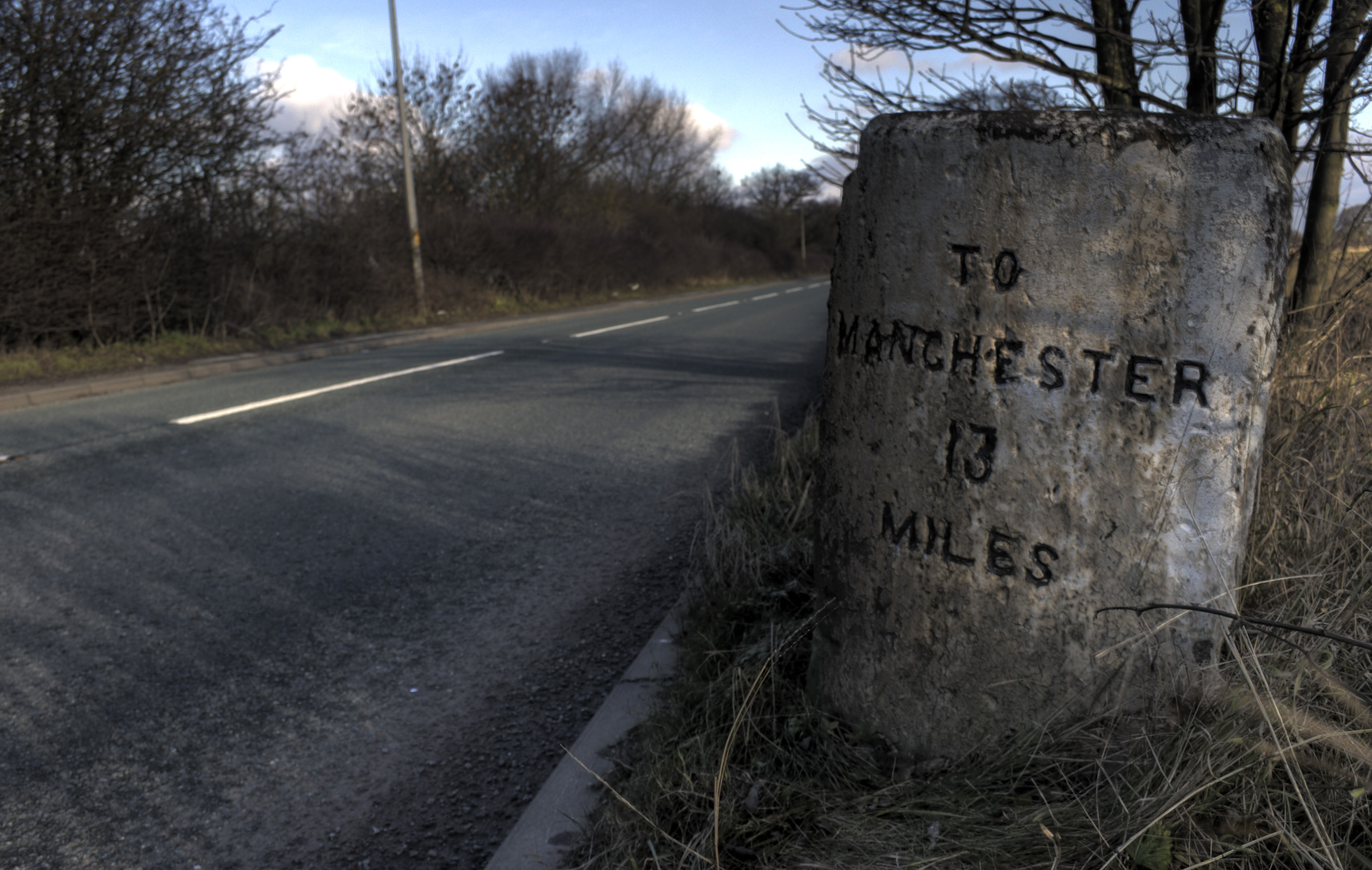
The A580 (officially the Liverpool–East Lancashire Road, colloquially the East Lancs Road) is the United Kingdom's first purpose-built inter-city highway. The road, which remains a primary A road, was officially opened by King George V on 18 July 1934. It links Liverpool to Salford, 3 miles west of Manchester city centre. Purpose The road was built to provide better access between the Port of Liverpool and the industrial areas of East Lancashire around Manchester. The new high-quality trunk road would supersede the indirect and heavily built-up A57 through Prescot, Warrington and Eccles. Journey times for road haulage would be reduced to under an hour. This road was built with a 1930s Dutch-style cycle path running its entire length. Many roads at this time were built with cycle paths but most have been lost due to road widening schemes. History First phase (completed) The first part, which was completed within three years, was from Walton, Liverpool, to the junction ... [...More Info...] [...Related Items...] OR: [Wikipedia] [Google] [Baidu] |
Kirkdale, Liverpool
Kirkdale is a district of Liverpool, Merseyside, England, and a Liverpool City Council ward that covers both Kirkdale and Vauxhall. At the 2011 Census, the population was 16,115. History Kirkdale is a working class area with mainly Victorian terraced houses. From 1885 to 1983, it was part of the Liverpool Kirkdale constituency. Kirkdale is bordered by Bootle to the north, Walton and Everton to the east and Vauxhall to the south. Boundary Street was an ancient division between the township of Kirkdale and Liverpool before Liverpool's expansion took in Kirkdale in the 1860s. It thus separates Kirkdale and Vauxhall. Kirkdale is now undergoing a large amount of regeneration. The old Easby estate has been demolished to make way for new two-, three- and four-bedroom properties. They have been built for both local residents and incomers. Transport There are three railway stations in the district, owing to its size and location near where the Merseyrail Northern Line branches dive ... [...More Info...] [...Related Items...] OR: [Wikipedia] [Google] [Baidu] |
A57 Road
The A57 is a major road in England. It runs east from Liverpool to Lincoln, England, Lincoln via Warrington, Cadishead, Irlam, Patricroft, Eccles, Greater Manchester, Eccles, Salford, Greater Manchester, Salford and Manchester, then through the Pennines over the Snake Pass (between the high moorlands of Bleaklow and Kinder Scout), around the Ladybower Reservoir, through Sheffield and past Worksop. Between Liverpool and Glossop, the road has largely been superseded by the M62 motorway, M62, M602 motorway, M602 and M67 motorways. Within Manchester a short stretch becomes the Mancunian Way, designated A57(M). Route Liverpool–Warrington The A57 begins at The Strand (A5036) near the River Mersey, as part of Water Street. It forms an east–west route through the north of the city centre with another one-way road system as Tithebarn Street (passing part of Liverpool John Moores University), Great Crosshall Street and Churchill Way in the east direction and Churchill Way and Dale ... [...More Info...] [...Related Items...] OR: [Wikipedia] [Google] [Baidu] |
Pennines
The Pennines (), also known as the Pennine Chain or Pennine Hills, are a range of uplands running between three regions of Northern England: North West England on the west, North East England and Yorkshire and the Humber on the east. Commonly described as the "backbone of England", the range stretches northwards from the Peak District at the southern end, through the South Pennines, Yorkshire Dales and North Pennines to the Tyne Gap, which separates the range from the Border Moors and Cheviot Hills across the Anglo-Scottish border, although some definitions include them. South of the Aire Gap is a western spur into east Lancashire, comprising the Rossendale Fells, West Pennine Moors and the Bowland Fells in North Lancashire. The Howgill Fells and Orton Fells in Cumbria are sometimes considered to be Pennine spurs to the west of the range. The Pennines are an important water catchment area with numerous reservoirs in the head streams of the river valleys. The North Pennin ... [...More Info...] [...Related Items...] OR: [Wikipedia] [Google] [Baidu] |
United Kingdom
The United Kingdom of Great Britain and Northern Ireland, commonly known as the United Kingdom (UK) or Britain,Usage is mixed. The Guardian' and Telegraph' use Britain as a synonym for the United Kingdom. Some prefer to use Britain as shorthand for Great Britain. The British Cabinet Office's Government Digital Servicebr>style guidefor use on gov.uk recommends: "Use UK and United Kingdom in preference to Britain and British (UK business, UK foreign policy, ambassador and high commissioner). But British embassy, not UK embassy." is a sovereign country in north-western Europe, off the north-western coast of the European mainland. The United Kingdom includes the island of Great Britain, the north-eastern part of the island of Ireland, and many smaller islands within the British Isles. Northern Ireland shares a land border with the Republic of Ireland. Otherwise, the United Kingdom is surrounded by the Atlantic Ocean, with the North Sea to the east, the English Channel to the sou ... [...More Info...] [...Related Items...] OR: [Wikipedia] [Google] [Baidu] |


