|
A456 Road
Known as the Hagley Road in Birmingham, the A456 is a main road in England running between Central Birmingham and Woofferton, Shropshire, south of Ludlow. Some sections of the route, for example Edgbaston near Bearwood, are also the route of the Elan Aqueduct which carries Birmingham's water supply from the Elan Valley. Route Birmingham - Kidderminster The A456 now starts in the underpass at the end of Broad Street ''Five Ways'' junction on the Middleway (A4540) in Birmingham. It previously started at the Paradise Circus junction with the former Inner Ring Road (A4400) but originally ran along New Street in the city centre. Heading West through the Birmingham suburbs of Edgbaston and Quinton using a mixture of dual carriageway and single carriageway roads, though maintaining at least 2 lanes in each direction. Just beyond Quinton, the A458 exits towards Halesowen, while the A456 bypasses the town to the South, meeting the M5 at Junction 3. This route was completed in the 1 ... [...More Info...] [...Related Items...] OR: [Wikipedia] [Google] [Baidu] |
Clent Hills
The Clent Hills lie south-west of Birmingham city centre in Clent, Worcestershire, England. The closest towns are Stourbridge and Halesowen, both in the West Midlands conurbation (and also Historic counties of England, historically in Worcestershire). The Clent Hills range consists of, in order from north-west to south-east: Wychbury Hill, Clent Hill (and Adams Hill), and Walton Hill (and Calcot Hill). The north Worcestershire range of hills continues eastwards to include Romsley, Worcestershire, Romsley Hill, Waseley Hills Country Park, Waseley Hills and the Lickey Hills. Clent Hill is the most popular hillwalking hill in the range, although it is not often mentioned because the whole area is referred to as Clent Hills. Just under a million visitors a year are estimated to come to the hills, making them Worcestershire's most popular non-paying attraction. Geology The Clent Hills are a major outcrop of the Clent Formation consisting of Clent Breccia (predominantly a red-brown ... [...More Info...] [...Related Items...] OR: [Wikipedia] [Google] [Baidu] |
M5 Motorway
The M5 is a motorway in England linking the Midlands with the South West England, South West. It runs from junction 8 of the M6 motorway, M6 at West Bromwich near Birmingham to Exeter in Devon. Heading south-west, the M5 runs east of West Bromwich and west of Birmingham through Sandwell Valley. It continues past Bromsgrove (and from Birmingham and Bromsgrove is part of the Birmingham Motorway Box), Droitwich Spa, Worcester, England, Worcester, Tewkesbury, Cheltenham, Gloucester, Bristol, Clevedon, Weston-super-Mare, Bridgwater, Taunton, terminating at junction 31 for Exeter. Congestion on the section south of the M4 motorway, M4 is common during the summer holidays, on Friday afternoons and bank holidays. Route The M5 quite closely follows the route of the A38 road. The two deviate slightly around Bristol and the area south of Bristol from junctions 16 to the Sedgemoor services north of junction 22. The A38 goes straight through the centre of Bristol and passes by Bristol Airp ... [...More Info...] [...Related Items...] OR: [Wikipedia] [Google] [Baidu] |
Wyre Forest
__NOTOC__ Wyre Forest is a large, semi-natural (partially unmanaged) woodland and forest measuring which straddles the borders of Worcestershire and Shropshire, England. Knowles Mill, a former corn mill owned by the National Trust, lies within the forest. Natural history The forest covers an area in local terms of 2,634 hectares (6,509 acres), or on the larger scale and is noted for its variety of wildlife. Although now the Wyre Forest has been much deforested, it still extends from east of the A442 at Shatterford, north of Kidderminster in the east, almost to Cleobury Mortimer in the west and from Upper Arley in the north to Areley Kings, near Stourport in the south. It is one of the largest remaining ancient woodlands in Britain. Forestry England looks after around half of today's forest. Around two-thirds of the forest has been designated as an SSSI (1,753.7 Ha), while a further fifth (549 Ha) is listed as a national nature reserve. The Dowles Brook flows through the ... [...More Info...] [...Related Items...] OR: [Wikipedia] [Google] [Baidu] |
Fingerpost, Worcestershire
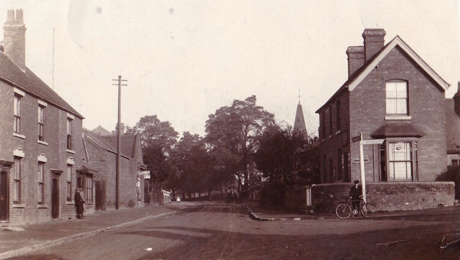
Fingerpost is a hamlet and road junction in north Worcestershire, England, approximately west of Bewdley. It is located at the junction of the A456 and A4117 roads, on the edge of the Wyre Forest and is named for a notable fingerpost that once existed at this historic junction. Fingerpost is in the civil parish of Rock and the Wyre Forest District. The parish council erected a large commemorative stone near the Fingerpost junction for the Diamond Jubilee of Queen Elizabeth II. (''erroneously described'') Further along the A4117 is , beyond which is Shropshire
Shropshire (; al ...
[...More Info...] [...Related Items...] OR: [Wikipedia] [Google] [Baidu] |
Cleobury Mortimer
Cleobury Mortimer (, ) is a market town and civil parish in southeast Shropshire, England, which had a population of 3,036 at the 2011 census. It was granted a market charter by Henry III in 1226.''Rotuli Litterarum Clausarum in Turri Londinensi asservati'',volume II, London:Eyre and Spottiswoode, 1844, pp.103, 126, 198 History The name is believed to derive from the contraction of the Old English meaning a steep place and ''bury'' meaning fortified settlement. Mortimer comes from Ranulph de Mortimer of Normandy to whom the land was granted after the Norman conquest. He founded the Mortimer dynasty of Marcher Lords who held power in the Welsh Marches throughout the Middle Ages and were closely involved with power struggles with successive English monarchs and other powerful Lords. Cleobury has a significant entry in the Domesday Book, and the vicinity was the location of at least two castles. Cleobury Castle, which was situated near St Mary's Church, was destroyed in 1155 and ... [...More Info...] [...Related Items...] OR: [Wikipedia] [Google] [Baidu] |
A4117 Road
The A4117 is a single-carriageway 'A road' in western England, largely in Shropshire, which passes through part of the Wyre Forest and Clee Hills. Route It branches from the A456 west of Bewdley, at a place called Fingerpost. Only the first of the route is in Worcestershire,Google maps as immediately after passing through the small village of Far Forest it passes over the Lem Brook and into Shropshire. Heading in a roughly westerly direction, it passes through Cleobury Mortimer, Hopton Wafers and Clee Hill Village. The road's destination is the town of Ludlow,Ordnance Survey mapping where (since 1979) it ends at the Rocks Green roundabout on the A49 bypass. The route is long. Notable bridges are where the road crosses the River Rea on the eastern edge of Cleobury Mortimer, the Hopton Brook at Hopton Wafers, and also the Ledwyche Brook at Henley near Ludlow. B road junctions The A4117 has no 'A road' junctions other than at its two ends. It has five junctions with 'B road ... [...More Info...] [...Related Items...] OR: [Wikipedia] [Google] [Baidu] |
Bewdley
Bewdley ( pronunciation) is a town and civil parish in the Wyre Forest District in Worcestershire, England on the banks of the River Severn. It is in the Severn Valley west of Kidderminster and southwest of Birmingham. It lies on the River Severn, at the gateway of the Wyre Forest national nature reserve, and at the time of the 2011 census had a population of 9,470. Bewdley is a popular tourist destination and is known for the Bewdley Bridge, designed by Thomas Telford, and the well preserved Georgian riverside. Town geography The main part of Bewdley town is situated on the western bank of the River Severn, including the main street—Load Street. Its name derives from ''lode'', an old word for ferry. Load Street is notable for its width: it once also served as the town's market place. Most of Bewdley's shops and amenities are situated along Load Street, at the top of which lies St Anne's Church, built between 1745 and 1748 by Doctor Thomas Woodward of Chipping Campden. ... [...More Info...] [...Related Items...] OR: [Wikipedia] [Google] [Baidu] |
West Midland Safari Park
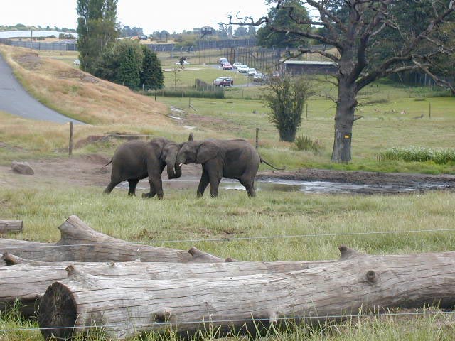
West Midland Safari and Leisure Park is a safari park located in Bewdley in Worcestershire, England. It was opened under the name of West Midland Safari Park in spring 1973. The park holds over 165 species of exotic animals, among other attractions such as a small theme park. The park contains the largest groups of white lions, cheetahs, hippopotami, and meerkats in the UK, as well as the largest lemur walk-through exhibit. It was also the first park in the UK to have the African big five game animals. The park is a member of the British and Irish Association of Zoos and Aquariums (BIAZA) and the European Association of Zoos and Aquaria (EAZA). The Dhole and Cheetah enclosures in the drive-through safari are part of a larger heathland Site of Special Scientific Interest (SSSI) which the park is restoring. History The park was opened by founder and Jimmy Chipperfield on 17 April 1973 and at the time hosted a few ex-circus animals (it had animals like rhinoceroses, elephants, os ... [...More Info...] [...Related Items...] OR: [Wikipedia] [Google] [Baidu] |
A449 Road
The A449 is a major road in the United Kingdom. It runs north from junction 24 of the M4 motorway at Newport in South Wales to Stafford in Staffordshire. The southern section of the road, between Ross on Wye and Newport forms part of the trunk route from the English Midlands to South Wales, avoiding the Severn Bridge Route Newport - Ross-on-Wye The A449 starts on the M4 at the Coldra Interchange (J24) in Newport and is dual carriageway all the way to Raglan. The section from the A40 junction at Raglan to the A472 junction at Usk, known as the ''New Midlands Road'', was one of the first sections to be dualled, opening on 16 October 1970. A special postmark dated 8 December 1972 was produced showing the opening of the A449 by The Secretary of State for Wales. Between Raglan and Ross-on-Wye the A449 is concurrent with the A40. Ross-on-Wye - Worcester The road becomes quite twisty on departing Ross-on-Wye, but straightens out a little before arriving at Ledbury. The road tu ... [...More Info...] [...Related Items...] OR: [Wikipedia] [Google] [Baidu] |
Blakedown
Blakedown is a village in the Wyre Forest District lying along the A456 in the north of the county of Worcestershire, England. Following enclosures and the arrival of the railway, it developed both agriculturally and industrially during the 19th century. Due to its transport links, it now serves mainly as a dormitory for the neighbouring town of Kidderminster and for the cities of Birmingham and Worcester. History From the time of the Domesday book, the Blakedown (earlier Bleak Down) area formed part of Hagley Parish; originally it belonged to Clent Hundred and later to the lower division of Halfshire. In 1888 the growing village was separated administratively from Hagley to merge with the small adjacent parish of Churchill; there is now a combined Parish Council for both villages. Much of Blakedown was originally an area of common land, only enclosed in 1832. With the coming of the railway line in 1852, and the consequent agricultural and industrial development, Blakedown eventu ... [...More Info...] [...Related Items...] OR: [Wikipedia] [Google] [Baidu] |
Hagley
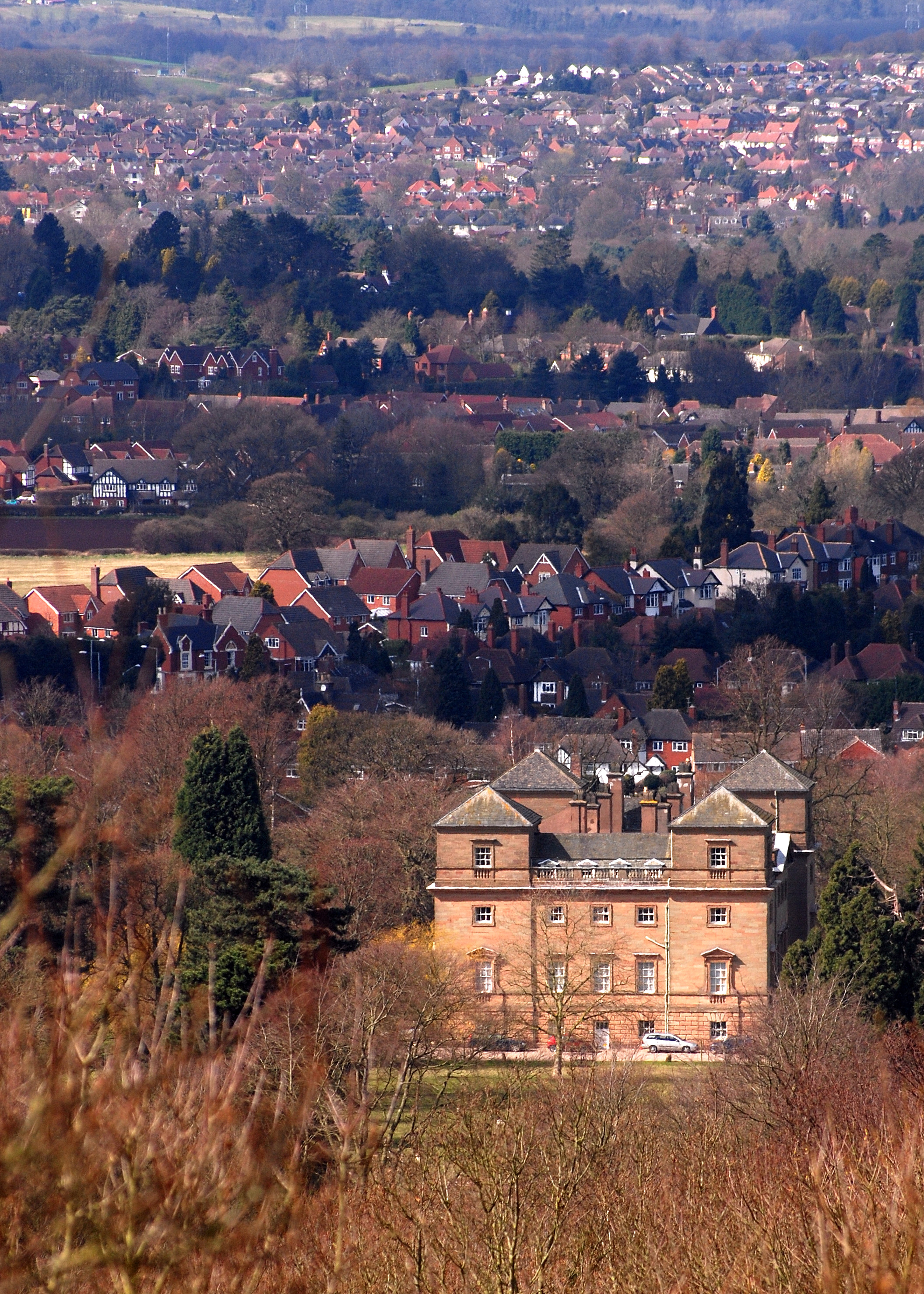
Hagley is a large village and civil parish in Worcestershire, England. It is on the boundary of the West Midlands and Worcestershire counties between the Metropolitan Borough of Dudley and Kidderminster. Its estimated population was 7,162 in 2019. Development From the time of the Domesday Book until the 1933 boundary changes, the parish of Hagley extended southwards from the village to include the present parish of Blakedown. The main focus of the village, on the lower slopes of the Clent Hills, was on the outskirts, where Hagley Hall and the parish church of St John the Baptist can be found. The parish register of Hagley is the oldest in England. It dates from 1 December 1538, which was the year in which registers were ordered to be kept in all parishes. Lower Hagley lies downhill and started to expand with the arrival of the Oxford, Worcester and Wolverhampton Railway in 1852 and the eventual building of Hagley railway station. The growth of what is now known as West Hagley i ... [...More Info...] [...Related Items...] OR: [Wikipedia] [Google] [Baidu] |
A491 Road
The A491 is an A road in Zone 4 of the Great Britain numbering scheme. History The road north of Oldswinford forms part of an ancient road, probably of Anglo-Saxon origin, joining the burhs of Worcester and Stafford. The crossing of the River Stour was probably the swine-ford that gave rise to the placenames Kingswinford and Oldswinford, and later to the name Stourbridge. The road from Wordsley Green to the Market House in Stourbidge and so to Bromsgrove was turnpiked in 1753. The same act also dealt with several other roads from that Market House, as well as the road from Birmingham through Halesowen and Hagley to Blakedown Pool, but that was managed by separate trustees from 1773. Its continuation north of Wordsley Green, through Wolverhampton, and Stafford to Stone, much of it now part of A449 road was turnpiked by the Wolverhampton Turnpike Act of 1760. In the original 1922 road numberings, A491 was assigned to the Shrewsbury, Welshpool, Mallwyd and Cemmaes Road rou ... [...More Info...] [...Related Items...] OR: [Wikipedia] [Google] [Baidu] |

.jpg)


