|
ŇĀńôknica
ŇĀńôknica (; , ) is a border town in western Poland, one of the two gminas of ŇĽary County in Lubusz Voivodeship. Muskau Park (''Park MuŇľakowski''), a Polish-German World Heritage Site and Historic Monument of Poland, stretches north of the town centre. Geography The town is situated in the Polish part of the historic Upper Lusatia region, in the broad valley of the Neisse river, which forms the border with Germany. A bridge across the river connects it with the opposite German town of Bad Muskau, another border crossing in the south leads to Krauschwitz. ŇĀńôknica's population numbers 2,478 (2019). History The area along the Neisse river was already settled in the Bronze Age. While neighbouring Muskau was already mentioned in 1249 and was awarded town rights in 1452, the village of ''Lugnitz'' was first documented in 1505, then part of the Muskau state country. According to the 1635 Peace of Prague, Lugknitz together with Upper Lusatia passed from the Bohemian Crown t ... [...More Info...] [...Related Items...] OR: [Wikipedia] [Google] [Baidu] |
Lubusz Voivodeship
Lubusz Voivodeship ( ) is a voivodeships of Poland, voivodeship (province) in western Poland with a population of 972,140. Its regional capitals are Gorz√≥w Wielkopolski and Zielona G√≥ra. The region is characterized by a landscape of forests, lakes, and rivers, and is Germany‚ÄďPoland border, bordered by Germany to the west. The functions of regional capital are shared between two citiesGorz√≥w Wielkopolski and Zielona G√≥ra. Gorz√≥w serves as the seat of the centrally-appointed voivode (''wojewoda''), or governor, and Zielona G√≥ra is the seat of the elected regional assembly (Voivodeship sejmik, ''sejmik'') and the executive elected by that assembly, headed by a marshal (''marszaŇāek''). In addition, the voivodeship includes a third city (Nowa S√≥l) and a number of towns. Lubusz Voivodeship borders West Pomeranian Voivodeship to the north, Greater Poland Voivodeship to the east, Lower Silesian Voivodeship to the south, and Germany (Brandenburg and Saxony) to the west. It was cr ... [...More Info...] [...Related Items...] OR: [Wikipedia] [Google] [Baidu] |
Upper Lusatia
Upper Lusatia (, ; , ; ; or ''Milsko''; ) is a historical region in Germany and Poland. Along with Lower Lusatia to the north, it makes up the region of Lusatia, named after the Polabian Slavs, Slavic ''Lusici'' tribe. Both parts of Lusatia are home to the West Slavic minority group of the Sorbs. The major part of Upper Lusatia is part of the German federal state of Saxony, roughly comprising Bautzen (district), Bautzen district and G√∂rlitz (district), G√∂rlitz district. The northwestern extremity, around Ruhland and Tettau, Brandenburg, Tettau, is incorporated into the Oberspreewald-Lausitz district of the state of Brandenburg. The eastern part of Upper Lusatia is in Poland, east of the Lusatian Neisse, Neisse (''Nysa'') river, in Lower Silesian Voivodeship. A small strip of land in the north around ŇĀńôknica is incorporated into Lubusz Voivodeship, along with the Polish part of Lower Lusatia. The historic capital of Upper Lusatia is Bautzen, Bautzen/BudyŇ°in, while the lar ... [...More Info...] [...Related Items...] OR: [Wikipedia] [Google] [Baidu] |
Bad Muskau
Bad Muskau (; formerly ''Muskau'', , , ) is a spa town in the historic Upper Lusatia region in eastern Germany, at the border with Poland. It is part of the G√∂rlitz district in the State of Saxony. It is located on the banks of the Lusatian Neisse river, directly opposite the town of ŇĀńôknica. It is part of the recognized Sorbian settlement area in Saxony. Upper Sorbian has an official status next to German, with all villages bearing names in both languages. Bad Muskau gained worldwide fame through prince and landscape artist Hermann von P√ľckler-Muskau, who created a unique cultural asset with his landscape park. The Muskau Park, a UNESCO World Heritage Site, is split between Bad Muskau and ŇĀńôknica. History Muskau (Sorbian, "men's town") was founded in the 13th century as a trading center and defensive location on the Neisse, being first mentioned in a document in 1249. The state country (''Standesherrschaft'') of Muskau was the largest of the Holy Roman Empire. Fro ... [...More Info...] [...Related Items...] OR: [Wikipedia] [Google] [Baidu] |
ŇĽary County
__NOTOC__ ŇĽary County () is a unit of territorial administration and local government (powiat) in Lubusz Voivodeship, western Poland, on the German border. It came into being on January 1, 1999, as a result of the Polish local government reforms passed in 1998. Its administrative seat and largest town is ŇĽary, which lies south-west of Zielona G√≥ra and south of Gorz√≥w Wielkopolski. The county contains three other towns: Lubsko, lying north-west of ŇĽary, JasieŇĄ, lying north-west of ŇĽary, and ŇĀńôknica, west of ŇĽary. The county covers an area of . As of 2019 its total population is 96,496, out of which the population of ŇĽary is 37,502, that of Lubsko is 13,921, that of JasieŇĄ is 4,309, that of ŇĀńôknica is 2,478, and the rural population is 38,286. Neighbouring counties ŇĽary County is bordered by Krosno OdrzaŇĄskie County to the north, Zielona G√≥ra County to the north-east, ŇĽagaŇĄ County to the east and Zgorzelec County to the south. It also borders the German ... [...More Info...] [...Related Items...] OR: [Wikipedia] [Google] [Baidu] |
Muskau Park
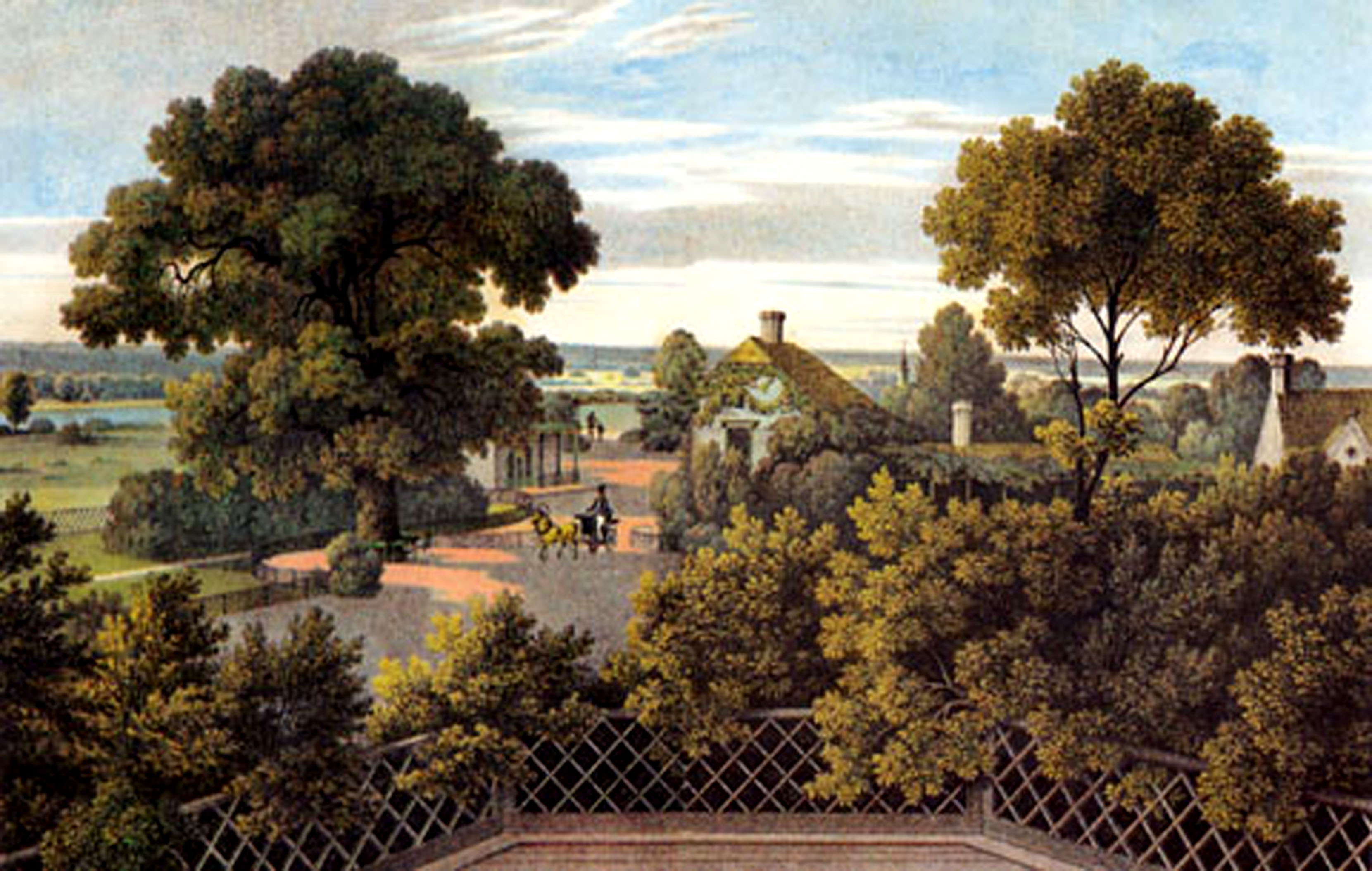
Muskau Park (, officially: ''F√ľrst-P√ľckler-Park Bad Muskau''; ) is a landscape park in the Upper Lusatia region of Germany and Poland. It is the largest and one of the most famous English gardens in Central Europe, stretching along both sides of the German‚ÄďPolish border on the Lusatian Neisse. The park was laid out from 1815 onwards at the behest of Prince Hermann von P√ľckler-Muskau (1785‚Äď1871), centered on his Schloss Muskau residence. In July 2004, Muskau Park was added to the list of UNESCO World Heritage Sites (as a joint effort between Poland and Germany) because of its 'utopian' design that incorporates both native plants and the nearby town, and its influence on the development of landscape architecture. The park also stands as one of Poland's official Historic Monuments (''pomnik historii''), as designated on May 1, 2004, and tracked by the National Heritage Board of Poland. Overview The park covers of land in Poland and in Germany. It extends on both sides ... [...More Info...] [...Related Items...] OR: [Wikipedia] [Google] [Baidu] |
Historic Monument (Poland)
Historic Monument (, ) is one of several categories of objects of cultural heritage in Poland, objects of cultural heritage (in the singular, ''zabytek'') in Poland. To be recognized as a Polish historic monument, an object must be declared such by the President of Poland. The term "historic monument" was introduced into Polish law in 1990, and the first Historic Monuments were declared by President Lech WaŇāńôsa in 1994. List The National Heritage Board of Poland maintains the official list. References {{reflist Objects of cultural heritage in Poland Law of Poland ... [...More Info...] [...Related Items...] OR: [Wikipedia] [Google] [Baidu] |
Lusatian Neisse
The Lusatian Neisse (; ; ; Upper Sorbian: ''ŇĀuŇĺiska Nysa''; Lower Sorbian: ''ŇĀuŇĺyska Nysa''), or Western Neisse, is a river in northern Central Europe.''Neisse River'' at www.britannica.com. Retrieved 4 Feb 2011. It rises in the , near Nov√° Ves nad Nisou, at the Czech border becoming the Polish‚Äď German border for i ... [...More Info...] [...Related Items...] OR: [Wikipedia] [Google] [Baidu] |
Electorate Of Saxony
The Electorate of Saxony, also known as Electoral Saxony ( or ), was a territory of the Holy Roman Empire from 1356 to 1806 initially centred on Wittenberg that came to include areas around the cities of Dresden, Leipzig and Chemnitz. It was a major Holy Roman state, being an Prince-elector, electorate and the original protecting power of Protestant principalities until that role was later taken by its neighbor, Brandenburg-Prussia. In the Golden Bull of 1356, Emperor Charles IV, Holy Roman Emperor, Charles IV designated the Duchy of Saxe-Wittenberg an electorate, a territory whose ruler was one of the prince-electors who chose the Holy Roman emperor. After the extinction of the male Saxe-Wittenberg line of the House of Ascania in 1422, the duchy and the electorate passed to the House of Wettin. The electoral privilege was tied only to the Electoral Circle, specifically the territory of the former Duchy of Saxe-Wittenberg. In the 1485 Treaty of Leipzig, the Wettin noble house w ... [...More Info...] [...Related Items...] OR: [Wikipedia] [Google] [Baidu] |
Lands Of The Bohemian Crown
The Lands of the Bohemian Crown were the states in Central Europe during the Middle Ages, medieval and early modern periods with feudalism, feudal obligations to the List of Bohemian monarchs, Bohemian kings. The crown lands primarily consisted of the Kingdom of Bohemia, an Prince-elector, electorate of the Holy Roman Empire according to the Golden Bull of 1356, the Margraviate of Moravia, the duchies of Silesia, and the two Lusatias, known as the Margraviate of Upper Lusatia and the Margraviate of Lower Lusatia, as well as other territories throughout its history. This agglomeration of states nominally under the rule of the Bohemian kings was referred to simply as Bohemia. They are now sometimes referred to in scholarship as the Czech lands, a direct translation of the Czech abbreviated name. The joint rule of ''Corona regni Bohemiae'' was legally established by decree of King Charles IV, Holy Roman Emperor, Charles IV issued on 7 April 1348, on the foundation of the original Cze ... [...More Info...] [...Related Items...] OR: [Wikipedia] [Google] [Baidu] |
Warsaw
Warsaw, officially the Capital City of Warsaw, is the capital and List of cities and towns in Poland, largest city of Poland. The metropolis stands on the Vistula, River Vistula in east-central Poland. Its population is officially estimated at 1.86 million residents within a Warsaw metropolitan area, greater metropolitan area of 3.27 million residents, which makes Warsaw the List of cities in the European Union by population within city limits, 6th most-populous city in the European Union. The city area measures and comprises List of districts and neighbourhoods of Warsaw, 18 districts, while the metropolitan area covers . Warsaw is classified as an Globalization and World Cities Research Network#Alpha 2, alpha global city, a major political, economic and cultural hub, and the country's seat of government. It is also the capital of the Masovian Voivodeship. Warsaw traces its origins to a small fishing town in Masovia. The city rose to prominence in the late 16th cent ... [...More Info...] [...Related Items...] OR: [Wikipedia] [Google] [Baidu] |
State Country
State country (; ; ) was a unit of administrative and territorial division in the Bohemian crown lands of Silesia and Upper Lusatia, existing from 15th to 18th centuries. These estates were exempt from feudal tenure by privilege of the Bohemian kings. Some of the state countries were highly autonomous, they had their own legal code and their lords were vassals of the king himself, not of the local dukes or princes. Silesia The state countries were formed from former Duchies of Silesia, whose ruling dynasties - branches of the Silesian Piasts (see Dukes of Silesia) - had died out. As a ceased fief their possessions would fall to the Bohemian crown and sometimes were granted to lords of lesser nobility not affiliated with the ducal Piast family. In 1492 King Vladislas II Jagiellon of Bohemia established three state countries within the Duchy of OleŇõnica (''Oels''), after Duke Konrad X the White had died without issue: * Syc√≥w (''Gro√ü Wartenberg''), granted to the Haugwit ... [...More Info...] [...Related Items...] OR: [Wikipedia] [Google] [Baidu] |
Bronze Age
The Bronze Age () was a historical period characterised principally by the use of bronze tools and the development of complex urban societies, as well as the adoption of writing in some areas. The Bronze Age is the middle principal period of the three-age system, following the Stone Age and preceding the Iron Age. Conceived as a global era, the Bronze Age follows the Neolithic, with a transition period between the two known as the Chalcolithic. The final decades of the Bronze Age in the Mediterranean basin are often characterised as a period of widespread societal collapse known as the Late Bronze Age collapse (), although its severity and scope are debated among scholars. An ancient civilisation is deemed to be part of the Bronze Age if it either produced bronze by smelting its own copper and alloying it with tin, arsenic, or other metals, or traded other items for bronze from producing areas elsewhere. Bronze Age cultures were the first to History of writing, develop writin ... [...More Info...] [...Related Items...] OR: [Wikipedia] [Google] [Baidu] |


