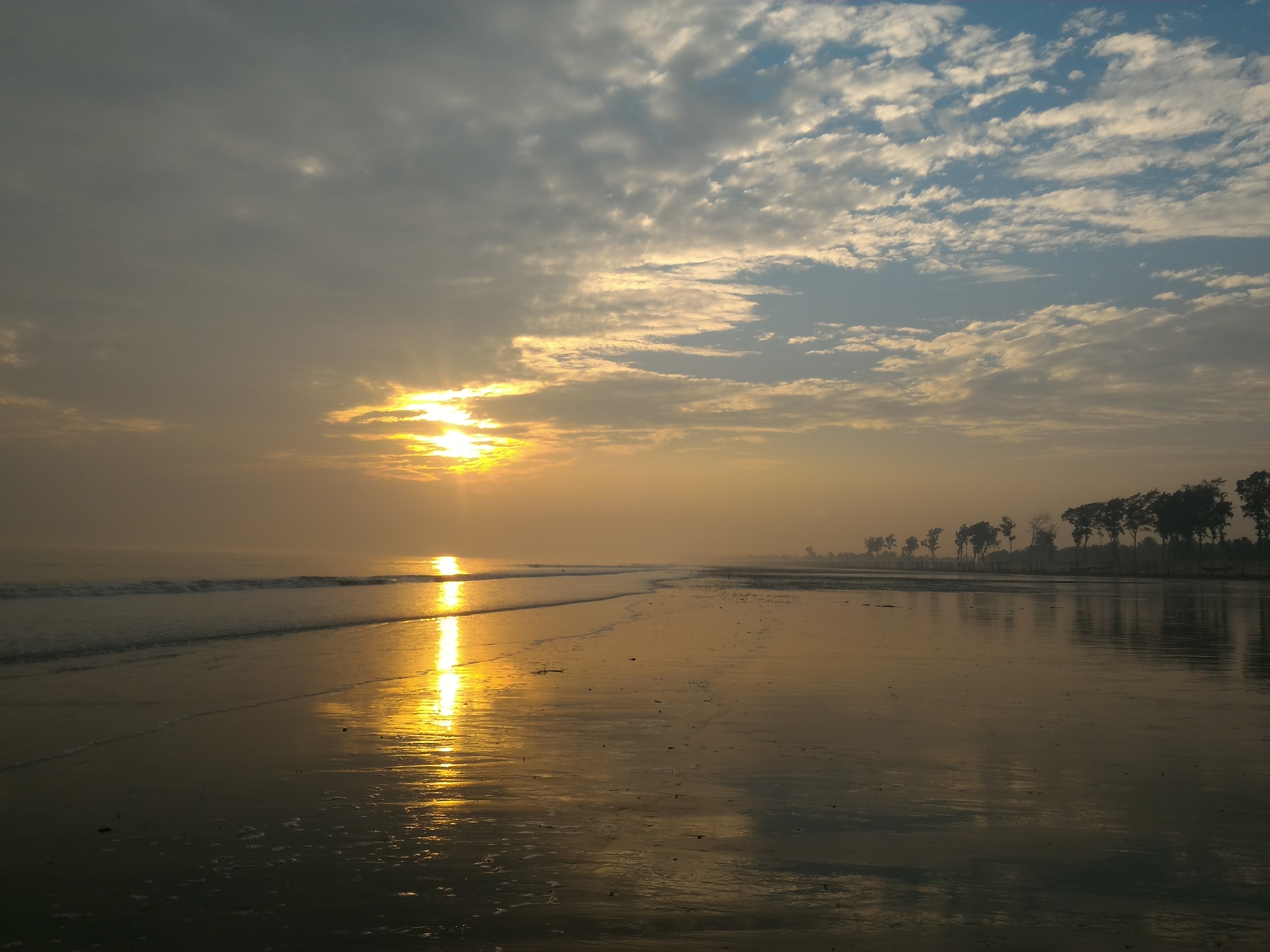
Tajpur, West Bengal on:
[Wikipedia]
[Google]
[Amazon]

 Tajpur is located in
Official tourism website

Purba Medinipur
East Medinipur (Alternative spelling ''Midnapore'') district is an administrative unit in the Indian state of West Bengal. It is the southernmost district of Medinipur division – one of the five administrative divisions of West Bengal. The ...
, in the state of West Bengal
West Bengal (; Bengali language, Bengali: , , abbr. WB) is a States and union territories of India, state in the East India, eastern portion of India. It is situated along the Bay of Bengal, along with a population of over 91 million inhabi ...
, India
India, officially the Republic of India, is a country in South Asia. It is the List of countries and dependencies by area, seventh-largest country by area; the List of countries by population (United Nations), most populous country since ...
on the shore of the Bay of Bengal
The Bay of Bengal is the northeastern part of the Indian Ocean. Geographically it is positioned between the Indian subcontinent and the Mainland Southeast Asia, Indochinese peninsula, located below the Bengal region.
Many South Asian and Southe ...
(near Digha
Digha (), is a seaside resort town in the state of West Bengal, India. It lies in Purba Medinipur district and at the northern end of the Bay of Bengal. The town has a low gradient with a shallow sand beach. It is a popular sea resort in India ...
). Tajpur is set between Mandarmani
Mandarmani is a seaside resort village in the state of West Bengal, India, and lies in East Midnapore district, at the northern end of the Bay of Bengal. It is one of the largest seaside resorts of West Bengal, fast-developing.
Geography
Loca ...
and Shankarpur. Tajpur is 172.9 km via NH16 and NH116B from the state capital Kolkata
Kolkata, also known as Calcutta ( its official name until 2001), is the capital and largest city of the Indian state of West Bengal. It lies on the eastern bank of the Hooghly River, west of the border with Bangladesh. It is the primary ...
. It is located under Contai
Contai is a coastal and subdivisional city and a municipality in East Medinipur district, West Bengal, India. It is the headquarters of the Contai subdivision.
Etymology
In the 5th century, during the visit of Faxian, Fa-Hien, Contai was uninh ...
Sub division area.
Tajpur has also around 1400 acres of land dedicated to Pisciculture. There are a number of bheris or fish-ponds in the area. As a tourist attraction, it is relatively new as there are fewer hotels compared to Digha and Mandarmani. The beach is clean and home to numerous red crabs. The Government of West Bengal
The Government of West Bengal, also known as the West Bengal Government, is the Administrative division, principal administrative authority of the States and union territories of India, Indian state of West Bengal, created by the Constitution ...
and Central Government decided to build the Tajpur Port
Tajpur Port (Bengali: তাজপুর বন্দর) is a proposed greenfield deep-sea port in Tajpur, East Midnapore district, West Bengal. The port will be built on the coast of Bay of Bengal near Tajpur. The construction of the port ...
in the area.
External links
Official tourism website
Transport
The nearest railway station isContai
Contai is a coastal and subdivisional city and a municipality in East Medinipur district, West Bengal, India. It is the headquarters of the Contai subdivision.
Etymology
In the 5th century, during the visit of Faxian, Fa-Hien, Contai was uninh ...
or Ramnagar in Howrah
Howrah (; ; alternatively spelled as Haora) is a city in the Indian States and union territories of India, state of West Bengal. Howrah is located on the western bank of the Hooghly River, opposite to its twin city of Kolkata. Administratively ...
-Digha railways and the nearest airport is Kolkata
Kolkata, also known as Calcutta ( its official name until 2001), is the capital and largest city of the Indian state of West Bengal. It lies on the eastern bank of the Hooghly River, west of the border with Bangladesh. It is the primary ...
. There are also multiple buses running towards Digha via Balisai. (Nearer to Tazpur)
By Car
From Kolkata, after crossing theVidyasagar Setu
Vidyasagar Setu, also known as the Second Hooghly Bridge, is an Cable-stayed bridge, cable-stayed six-laned toll bridge over the Hooghly River in West Bengal, India, linking the cities of Kolkata and Howrah. Opened in 1992, Vidyasagar Setu was ...
, Kona Expressway leads to Mumbai Road. As the total drive takes almost 4 hours from Kolkata via Kolaghat and Nandakumar. From Nandakumar there is a right turn towards Contai. In the said Kolkata - Digha highway there is stoppage named Balisai where a left side village road finally meet the sea side village Tazpur.
References
{{Coord, 21.644694, 87.610122, display=title Seaside resorts in India Beaches of West Bengal Tourist attractions in Purba Medinipur district