|
List Of Urban Areas In The Republic Of Ireland
This is a list of urban areas in the Republic of Ireland by population. In 2022, the Central Statistics Office (CSO), the Department of Housing, Local Government and Heritage and Tailte Éireann created of a new unit of urban geography called Built Up Areas (BUAs) which were used to produce data for urban areas in the 2022 census of Ireland. There were 867 BUAs, representing the entire settlement area of each town and city (including suburbs and environs). The 250 largest cities, towns and villages are listed below with data from the 2022 census. Cities and towns list Notes GPO Portico - Morning.jpg, 1st, Dublin Cork City Hall, February 2018.jpg, 2nd, Cork LimerickCity Riverpoint.jpg, 3rd, Limerick Galway Harbour 2007.jpg, 4th, Galway Waterford city at night - geograph.org.uk - 1034017.jpg, 5th, Waterford Drogheda2005.jpg, 6th, Drogheda Dkit1 1024x768.jpg, 7th, Dundalk North Street, Swords, Co. Dublin - geograph.org.uk - 381905.jpg, 8th, Swords Poolboy Bridge, Navan - g ... [...More Info...] [...Related Items...] OR: [Wikipedia] [Google] [Baidu] [Amazon] |
Dublin Four Courts
Dublin is the capital and largest city of Republic of Ireland, Ireland. Situated on Dublin Bay at the mouth of the River Liffey, it is in the Provinces of Ireland, province of Leinster, and is bordered on the south by the Dublin Mountains, part of the Wicklow Mountains range. Dublin is the largest city by population on the island of Ireland; at the 2022 census of Ireland, 2022 census, the city council area had a population of 592,713, while the city including suburbs had a population of 1,263,219, County Dublin had a population of 1,501,500. Various definitions of a metropolitan Greater Dublin Area exist. A settlement was established in the area by the Gaels during or before the 7th century, followed by the Vikings. As the Kingdom of Dublin grew, it became Ireland's principal settlement by the 12th century Anglo-Norman invasion of Ireland. The city expanded rapidly from the 17th century and was briefly the second largest in the British Empire and sixth largest in Western Europ ... [...More Info...] [...Related Items...] OR: [Wikipedia] [Google] [Baidu] [Amazon] |
County Waterford
County Waterford () is a Counties of Ireland, county in Republic of Ireland, Ireland. It is in the Provinces of Ireland, province of Munster and is part of the Southern Region, Ireland, Southern Region. It is named after the city of Waterford. Waterford City and County Council is the Local government in the Republic of Ireland, local authority for the county. The population of the county at large, including the city, was 127,363 according to the 2022 census. The county is based on the historic Gaelic Ireland, Gaelic territory of the ''Déisi, Déise''. There is an Gaeltacht, Irish-speaking area, Gaeltacht na nDéise, in the southwest of the county. Geography and subdivisions County Waterford has two mountain ranges, the Knockmealdown Mountains and the Comeragh Mountains. The highest point in the county is Knockmealdown, at . It also has many rivers, including Ireland's third-longest river, the River Suir (); and Ireland's fourth-longest river, the Munster Blackwater (). There ar ... [...More Info...] [...Related Items...] OR: [Wikipedia] [Google] [Baidu] [Amazon] |
Kilkenny
Kilkenny ( , meaning 'church of Cainnech of Aghaboe, Cainnech'). is a city in County Kilkenny, Republic of Ireland, Ireland. It is located in the South-East Region, Ireland, South-East Region and in the Provinces of Ireland, province of Leinster. It is built on both banks of the River Nore. The 2022 census of Ireland, 2022 census gave the population of Kilkenny as 27,184, the List of urban areas in the Republic of Ireland, thirteenth-largest urban centre in Ireland. Kilkenny is a tourist destination, and its environs include historic buildings such as Kilkenny Castle, St Canice's Cathedral and round tower, Rothe House, Shee Alms House, Black Abbey, St. Mary's Cathedral, Kilkenny, St. Mary's Cathedral, The Tholsel, Kilkenny, The Tholsel, St. Francis Abbey, Grace's Castle, and St. John's Abbey, Kilkenny, St. John's Priory. Kilkenny is also known for its craft and design workshops, the Watergate Theatre, public gardens and museums. Annual events include Kilkenny Arts Festival, the ... [...More Info...] [...Related Items...] OR: [Wikipedia] [Google] [Baidu] [Amazon] |
County Laois
County Laois ( ; ) is a county in Ireland. It is part of the Eastern and Midland Region and in the province of Leinster. It was known as Queen's County from 1556 to 1922. The modern county takes its name from Loígis, a medieval kingdom. Historically, it has also been known as County Leix. Laois County Council is the local authority for the county, and is based in Portlaoise. At the 2022 census, the population of the county was 91,657, an increase of 56% since the 2002 census. History Prehistoric The first people in Laois were bands of hunters and gatherers who passed through the county about 8,500 years ago. They hunted in the forests that covered Laois and fished in its rivers, gathering nuts and berries to supplement their diets. Next came Ireland's first farmers. These people of the Neolithic period (4000 to 2500 BC) cleared forests and planted crops. Their burial mounds remain in Clonaslee and Cuffsborough. Starting around 2500 BC, the people of the Bronze Age lived ... [...More Info...] [...Related Items...] OR: [Wikipedia] [Google] [Baidu] [Amazon] |
County Carlow
County Carlow ( ; ) is a Counties of Ireland, county located in the Southern Region, Ireland, Southern Region of Ireland, within the Provinces of Ireland, province of Leinster. Carlow is the List of Irish counties by area, second smallest and the List of Irish counties by population, third least populous of Ireland's 32 traditional counties. Carlow County Council is the governing Local government in the Republic of Ireland, local authority. The county is named after the town of Carlow, which lies on the River Barrow and is both the county town and largest settlement, with over 40% of the county's population. Much of the remainder of the population also reside within the Barrow valley, in towns such as Leighlinbridge, Bagenalstown, Graiguenamanagh, Tinnahinch, Borris, County Carlow, Borris and St. Mullins, St Mullins. Carlow shares a border with County Kildare, Kildare and County Laois, Laois to the north, County Kilkenny, Kilkenny to the west, County Wicklow, Wicklow to the east ... [...More Info...] [...Related Items...] OR: [Wikipedia] [Google] [Baidu] [Amazon] |
Carlow
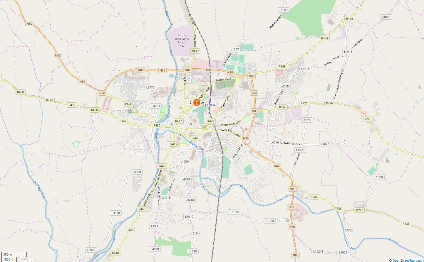
Carlow ( ; ) is the county town of County Carlow, in the south-east of Republic of Ireland, Ireland, from Dublin. At the 2022 census of Ireland, 2022 census, it had a population of 27,351, the List of urban areas in the Republic of Ireland, twelfth-largest urban center in Ireland. The River Barrow flows through the town and forms the historic boundary between counties County Laois, Laois and Carlow. However, the Local Government (Ireland) Act 1898 included the town entirely in County Carlow. The settlement of Carlow is thousands of years old and pre-dates written Irish history. The town has played a major role in Irish history, serving as the capital of the country in the 14th century. The town is in a townland and Civil parishes in Ireland, civil parish of the same name. Etymology The name is an anglicisation of the Irish language, Irish ''Ceatharlach''. Historically, it was anglicised as ''Caherlagh'', ''Caterlagh'' and ''Catherlagh'', which are closer to the Irish spell ... [...More Info...] [...Related Items...] OR: [Wikipedia] [Google] [Baidu] [Amazon] |
Ennis
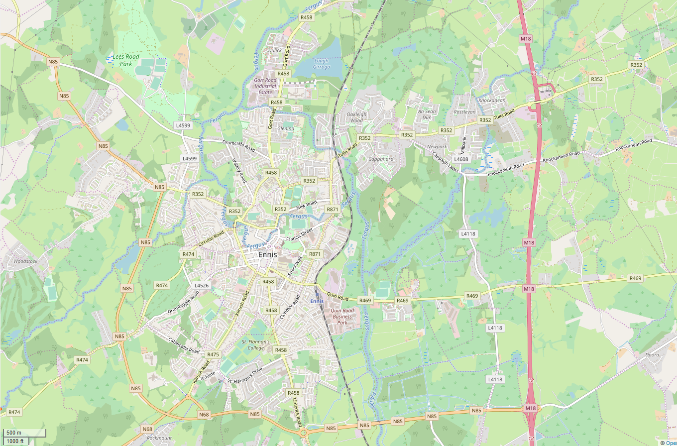
Ennis ( , meaning 'island' or 'river meadow') is the county town of County Clare, in the mid-west of Ireland. The town lies on the River Fergus, north of where the river widens and enters the Shannon Estuary. Ennis is the largest town in County Clare, with a population of 27,923, making it the 6th largest town, and 11th largest urban settlement, as of the 2022 census. Dating from the 12th century the town's Irish name is short for , deriving from its location between two courses of the River Fergus. Ennis has had considerable success in the Irish Tidy Towns competition. In 2005 and 2021, the town was named Ireland's tidiest town, and was named Ireland's tidiest large urban centre on multiple occasions. The town straddles two baronies. Most of the town, including its historic centre, is in the Barony of Islands. However, the eastern and north-eastern edges of the town are in the Barony of Bunratty Upper. History The name Ennis derives from the Irish word "Inis", mea ... [...More Info...] [...Related Items...] OR: [Wikipedia] [Google] [Baidu] [Amazon] |
County Wicklow
County Wicklow ( ; ) is a Counties of Ireland, county in Republic of Ireland, Ireland. The last of the traditional 32 counties, having been formed as late as 1606 in Ireland, 1606, it is part of the Eastern and Midland Region and the Provinces of Ireland, province of Leinster. It is bordered by the Irish Sea to the east and the counties of County Wexford, Wexford to the south, County Carlow, Carlow to the southwest, County Kildare, Kildare to the west, and South Dublin and Dún Laoghaire–Rathdown to the north. Wicklow is named after its county town of Wicklow, which derives from the name (Old Norse for "Vikings' Meadow"). Wicklow County Council is the Local government in the Republic of Ireland, local authority for the county, which had a population of 155,258 at the 2022 census of Ireland, 2022 census. Colloquially known as the "Garden of Ireland" for its scenerywhich includes extensive woodlands, nature trails, beaches, and ancient ruins while allowing for a multitude of w ... [...More Info...] [...Related Items...] OR: [Wikipedia] [Google] [Baidu] [Amazon] |
Navan
Navan ( ; , meaning "the Cave") is the county town and largest town of County Meath, Republic of Ireland, Ireland. It is at the confluence of the River Boyne and Leinster Blackwater, Blackwater, around 50 km northwest of Dublin. At the 2022 census of Ireland, 2022 census, it had a population of 33,886, making it the List of urban areas in the Republic of Ireland, ninth largest settlement in Republic of Ireland, Ireland. The town is in a Civil parishes in Ireland, civil parish of the same name. Etymology The Irish language, Modern Irish name ''An Uaimh'' is most likely derived from the prehistoric burial mound ''An Odhbha,'' named after Odhbha, the first wife of Érimón. It is likely the result of ''Odbha'' being later misunderstood and confused by locals with the similar sounding and much more familiar word ''uaimh,'' or ''uamha,'' which also has a very similar meaning "cave, crypt or souterrain"''.'' The English language, Modern English name Navan is likely either an ... [...More Info...] [...Related Items...] OR: [Wikipedia] [Google] [Baidu] [Amazon] |
Swords, Dublin
Swords ( or ) in County Dublin, the county town of the local government area of Fingal, is a large suburban town on the east coast of Ireland, situated ten kilometres north of Dublin city centre. It is the eighth largest urban area in Ireland, with a population of 40,776 as of the 2022 census. The town was reputedly founded . Located on the Ward River, Swords features Swords Castle, a restored medieval castle, a holy well from which it takes its name, a round tower and a Norman tower. Facilities in the area include the Pavilions shopping centre, one of the largest in the Dublin region, a range of civic offices, some light industries, the main storage facility and archive of the National Museum of Ireland and several parks. Dublin Airport is located nearby. The name "Swords" gives its name to a townland of Swords Demesne, a civil parish, and a local electoral area. History Origins and etymology The town's origins date back to 560 AD when it was reputedly founded by ... [...More Info...] [...Related Items...] OR: [Wikipedia] [Google] [Baidu] [Amazon] |
Dundalk
Dundalk ( ; ) is the county town of County Louth, Ireland. The town is situated on the Castletown River, which flows into Dundalk Bay on the north-east coast of Ireland, and is halfway between Dublin and Belfast, close to and south of the border with Northern Ireland. It is surrounded by several townlands and villages that form the wider Dundalk Municipal District. It is the seventh largest List of urban areas in the Republic of Ireland, urban area in Ireland, with a population of 43,112 as of the 2022 census of Ireland, 2022 census. Dundalk has been inhabited since the Neolithic period. It was established as a Normans, Norman stronghold in the 12th century following the Norman invasion of Ireland, and became the northernmost outpost of The Pale in the Late Middle Ages. Located where the northernmost point of the province of Leinster meets the province of Ulster, the town came to be known as the "Gap of the North". The modern street layout dates from the early 18th century and ... [...More Info...] [...Related Items...] OR: [Wikipedia] [Google] [Baidu] [Amazon] |


