Goowarra, Queensland on:
[Wikipedia]
[Google]
[Amazon]
Goowarra is a rural
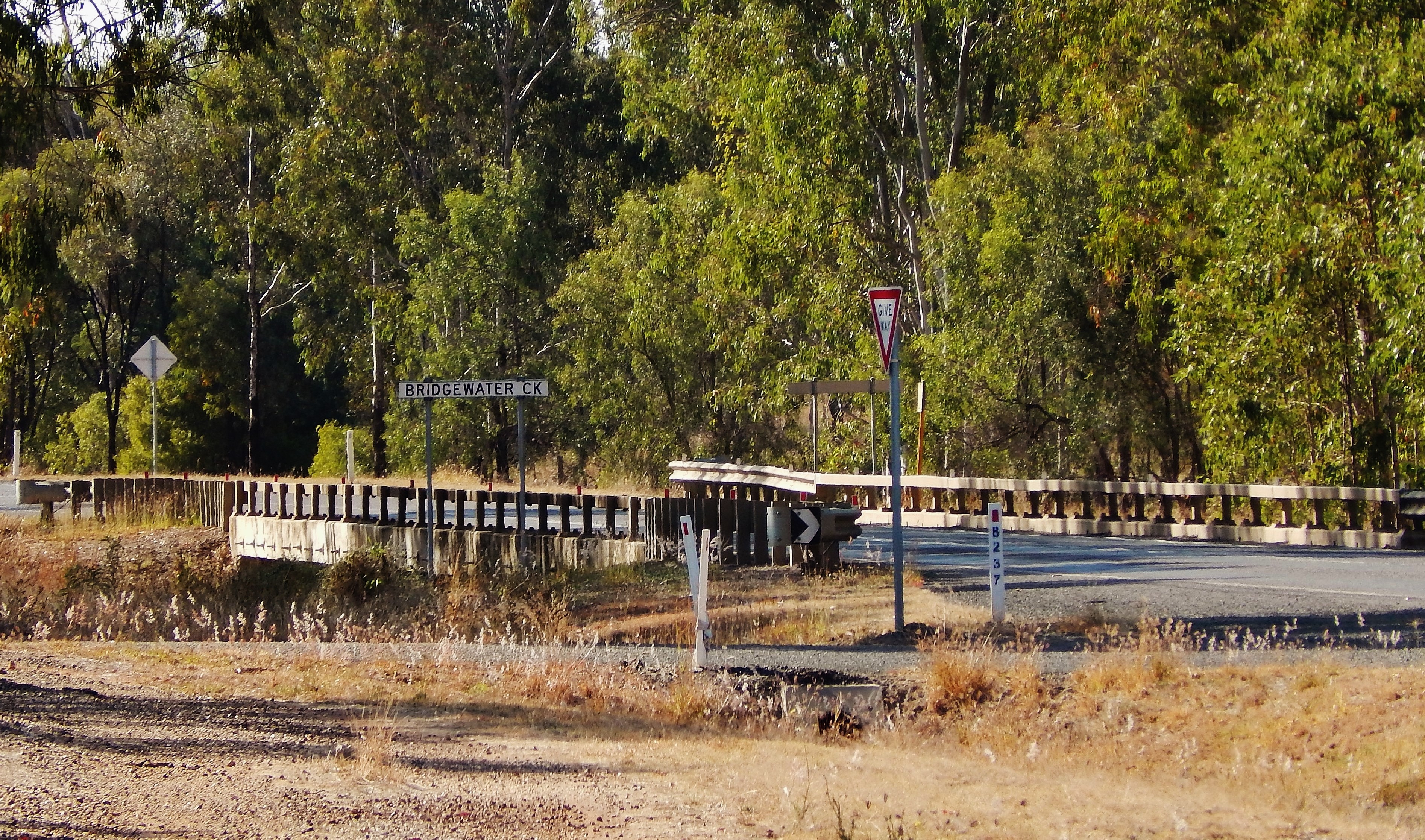
 Bridgewater Provisional School opened on 1900. In 1901 it was renamed Goowarra Provisional School. On 1 January 1909 it became Goowarra State School. It had a number of temporary closures due to low student numbers before closing permanently in 1924.
Mourindilla Provisional School opened on 1921 but closed circa 1924. Mourindilla is a pastoral property in the north of the locality ().
locality
Locality may refer to:
* Locality, a historical named location or place in Canada
* Locality (association), an association of community regeneration organizations in England
* Locality (linguistics)
* Locality (settlement)
* Suburbs and localitie ...
in the Central Highlands Region
Central Highlands Region is a local government area in Queensland, Australia. In the , the Central Highlands Region had a population of 27,836 people.
History
'' Wadja'' (also known as ''Wadjigu'', ''Wadya'', ''Wadjainngo'', ''Mandalgu'', a ...
, Queensland
Queensland ( , commonly abbreviated as Qld) is a States and territories of Australia, state in northeastern Australia, and is the second-largest and third-most populous state in Australia. It is bordered by the Northern Territory, South Austr ...
, Australia. In the , Goowarra had a population of 27 people.
Geography
TheCapricorn Highway
The Capricorn Highway is located in Central Queensland, Australia, and links the city of Rockhampton with western Queensland. The highway is long, and joins the Landsborough Highway at Barcaldine. Formerly National Route 66, Queensland began ...
passes through the locality from the south-east (Wallaroo
Wallaroo is a common name for several species of moderately large macropods, intermediate in size between the kangaroos and the wallabies, that are native to Australia and Papua New Guinea. The word "wallaroo" is from the Dharug ''walaru'' wi ...
) to the south-west (Dingo
The dingo (either included in the species ''Canis familiaris'', or considered one of the following independent taxa: ''Canis familiaris dingo'', ''Canis dingo'', or ''Canis lupus dingo'') is an ancient (basal (phylogenetics), basal) lineage ...
). The Central Western railway line
The Central Western railway line is a railway line in Queensland, Australia. It was opened in a series of sections between 1867 and 1928. It commences at Rockhampton and extends west to Winton.
History
Following the separation of Queensl ...
also passes through the locality to the immediate north of the highway, with the locality being served once being served by the now-abandoned Goowarra railway station ().
The predominant land use is grazing
In agriculture, grazing is a method of animal husbandry whereby domestic livestock are allowed outdoors to free range (roam around) and consume wild vegetations in order to feed conversion ratio, convert the otherwise indigestible (by human diges ...
on native vegetation.
History
 Bridgewater Provisional School opened on 1900. In 1901 it was renamed Goowarra Provisional School. On 1 January 1909 it became Goowarra State School. It had a number of temporary closures due to low student numbers before closing permanently in 1924.
Mourindilla Provisional School opened on 1921 but closed circa 1924. Mourindilla is a pastoral property in the north of the locality ().
Demographics
In the , Goowarra had a population of 19 people. In the , Goowarra had a population of 27 people.Education
There are no schools in Goowarra. The nearest primary school is Dingo State School in neighbouring Dingo to the west. The nearest secondary school is Blackwater State High School in Blackwater to the west.References
{{Central Highlands Region Central Highlands Region Localities in Queensland