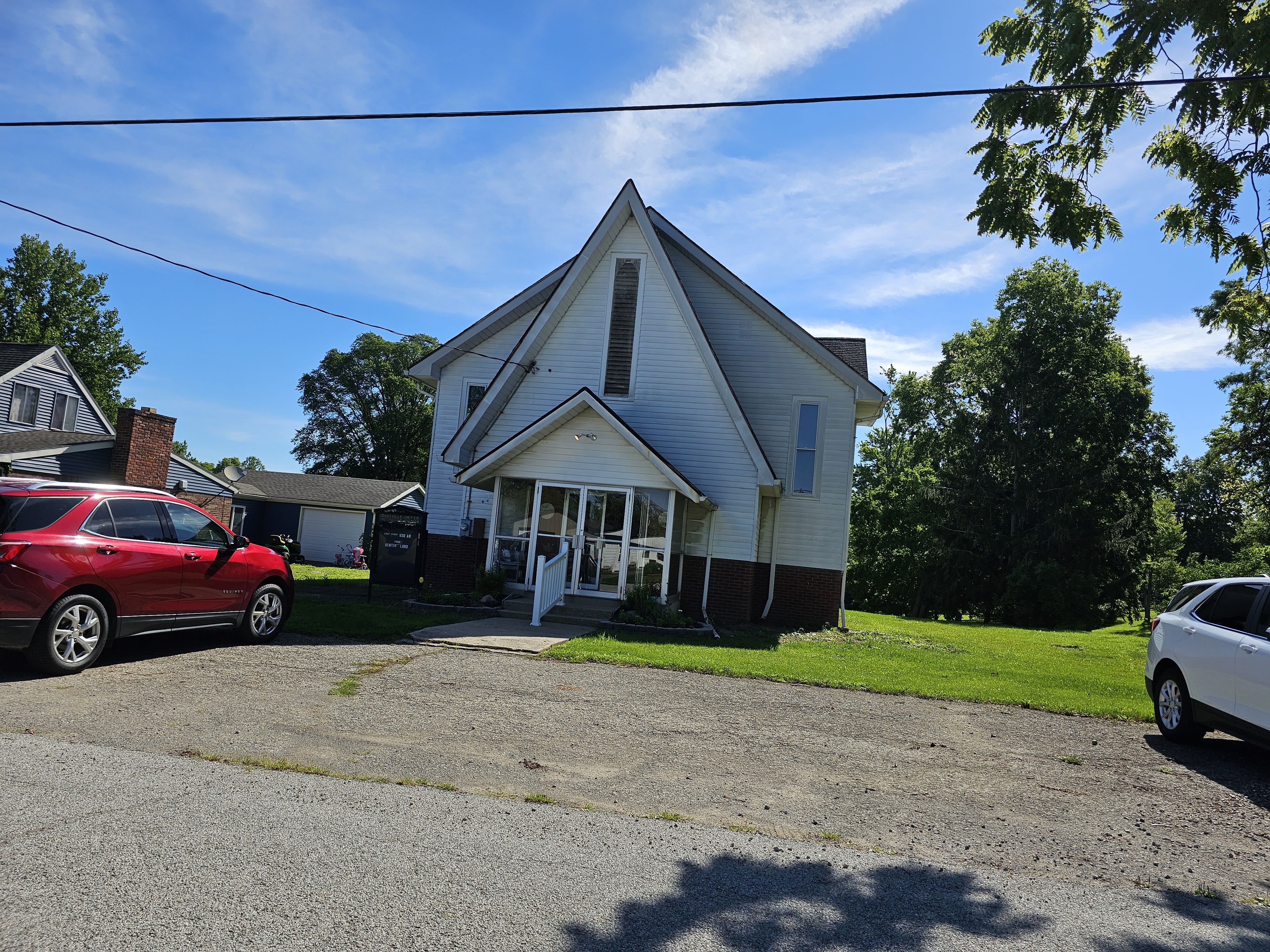
Cassville, Indiana on:
[Wikipedia]
[Google]
[Amazon]
Cassville is an
 Originally named Pleasant Spring, Cassville was renamed in 1854 for
unincorporated community
An unincorporated area is a parcel of land that is not governed by a local general-purpose municipal corporation. (At p. 178.) They may be governed or serviced by an encompassing unit (such as a county) or another branch of the state (such as th ...
in Howard Township, Howard County, Indiana
Indiana ( ) is a U.S. state, state in the Midwestern United States, Midwestern region of the United States. It borders Lake Michigan to the northwest, Michigan to the north and northeast, Ohio to the east, the Ohio River and Kentucky to the s ...
, United States
The United States of America (USA), also known as the United States (U.S.) or America, is a country primarily located in North America. It is a federal republic of 50 U.S. state, states and a federal capital district, Washington, D.C. The 48 ...
. It is part of the Kokomo, Indiana
Kokomo ( ) is a city in and the county seat of Howard County, Indiana, United States. Its population was 60,093 according to the U.S. Census Bureau 2024 estimate. It is the principal city of the Kokomo, Indiana metropolitan area, Kokomo metropol ...
Metropolitan Statistical Area and located approximately 5.9 miles from downtown Kokomo.
History
 Originally named Pleasant Spring, Cassville was renamed in 1854 for
 Lewis Cass
Lewis Cass (October 9, 1782June 17, 1866) was a United States Army officer and politician. He represented Michigan in the United States Senate and served in the Cabinets of two U.S. Presidents, Andrew Jackson and James Buchanan. He was also the 1 ...
, a U.S. Senator from Michigan
Michigan ( ) is a peninsular U.S. state, state in the Great Lakes region, Great Lakes region of the Upper Midwest, Upper Midwestern United States. It shares water and land boundaries with Minnesota to the northwest, Wisconsin to the west, ...
.
Demographics
TheUnited States Census Bureau
The United States Census Bureau, officially the Bureau of the Census, is a principal agency of the Federal statistical system, U.S. federal statistical system, responsible for producing data about the American people and American economy, econ ...
delineated Cassville as a census designated place
A census-designated place (CDP) is a Place (United States Census Bureau), concentration of population defined by the United States Census Bureau for statistical purposes only.
CDPs have been used in each decennial census since 1980 as the counte ...
in the 2022 American Community Survey
The American Community Survey (ACS) is an annual demographics survey program conducted by the United States Census Bureau. It regularly gathers information previously contained only in the long form of the United States census, decennial census ...
.
Geography
Cassville is located on the border of Clay Township and Howard Township.Highway
* US-31 toSouth Bend
South Bend is a city in St. Joseph County, Indiana, United States, and its county seat. It lies along the St. Joseph River (Lake Michigan), St. Joseph River near its southernmost bend, from which it derives its name. It is the List of cities in ...
(North) and Indianapolis
Indianapolis ( ), colloquially known as Indy, is the List of capitals in the United States, capital and List of municipalities in Indiana, most populous city of the U.S. state of Indiana and the county seat of Marion County, Indiana, Marion ...
(South)
References