|
York County, South Carolina
York County is a county on the north central border in the U.S. state of South Carolina. As of the 2020 census, the population was 282,090, making it the seventh-most populous county in the state. Its county seat is the city of York, and its most populous community is Rock Hill. One Interstate Highway serves the county, Interstate 77. York County is part of the Charlotte metropolitan area. History Pre-colonial and early colonial history With a population of nearly 6,000 at the time of first European contact, the native inhabitants, the Catawba, were primarily agriculturalists. Hernando de Soto passed through the area in the 1540s in his search for gold. Several decades later Juan Pardo recorded his observation of a predominantly Native American tribe, later confirmed to be the Catawba, in the vicinity of present-day Fort Mill, east of the Catawba River. The Province of South Carolina was founded in 1670. Twelve years later, it was divided into three counties. One of thes ... [...More Info...] [...Related Items...] OR: [Wikipedia] [Google] [Baidu] |
James II Of England
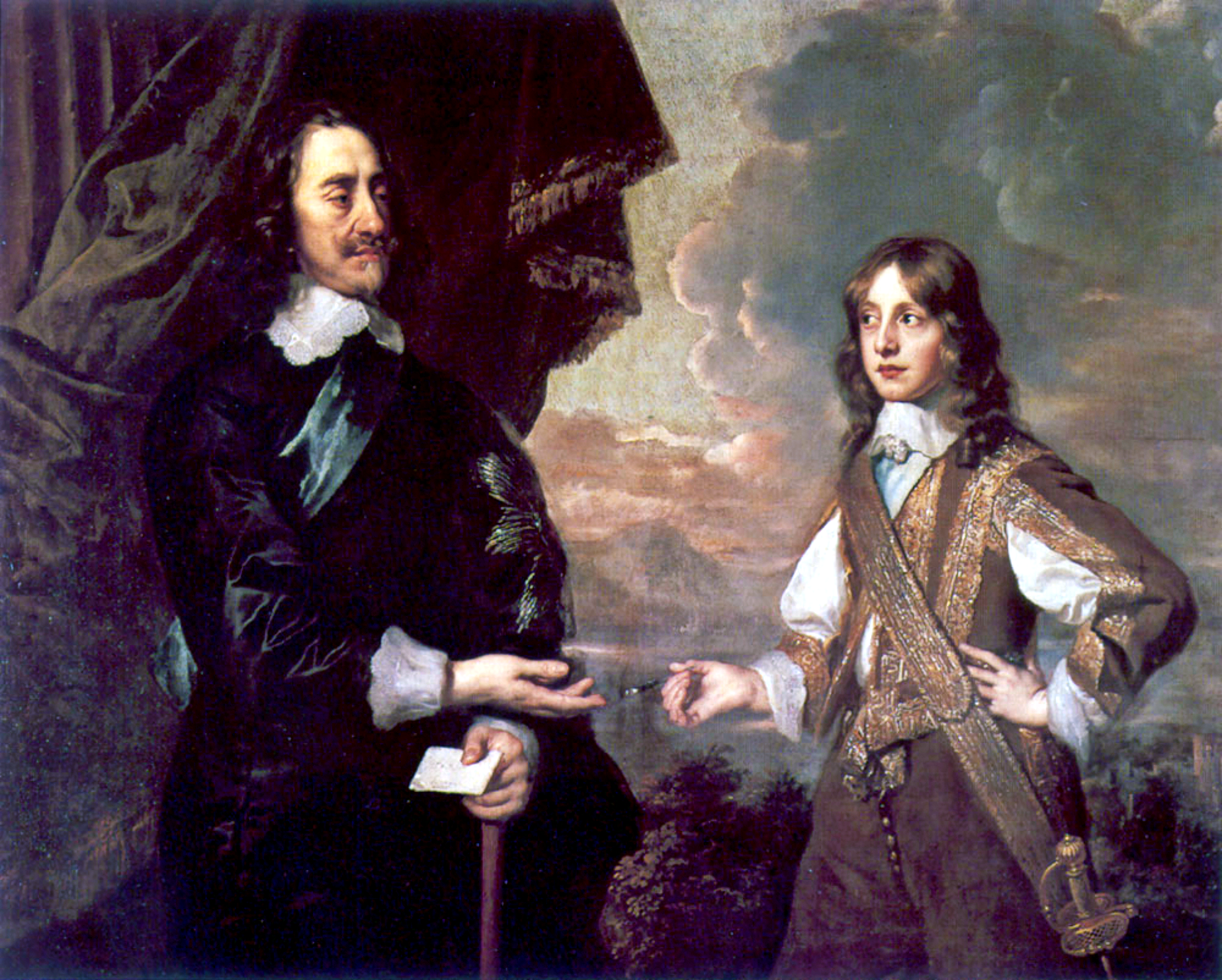
James II and VII (14 October 1633 – 16 September 1701) was King of England and Monarchy of Ireland, Ireland as James II and King of Scotland as James VII from the death of his elder brother, Charles II of England, Charles II, on 6 February 1685, until he was deposed in the 1688 Glorious Revolution. The last Catholic monarch of Kingdom of England, England, Kingdom of Scotland, Scotland, and Kingdom of Ireland, Ireland, his reign is now remembered primarily for conflicts over religion. However, it also involved struggles over the principles of Absolute monarchy, absolutism and divine right of kings, with his deposition ending a century of political and civil strife by confirming the primacy of the English Parliament over the Crown. James was the second surviving son of Charles I of England and Henrietta Maria of France, and was created Duke of York at birth. He succeeded to the throne aged 51 with widespread support. The general public were reluctant to undermine the principle ... [...More Info...] [...Related Items...] OR: [Wikipedia] [Google] [Baidu] |
Carolina Piedmont
The Piedmont ( ) is a plateau region located in the Eastern United States. It is situated between the Atlantic Plain and the Blue Ridge Mountains, stretching from New York in the north to central Alabama in the south. The Piedmont Province is a physiographic province of the larger Appalachian Highlands physiographic division and consists of the Piedmont Upland, and the Piedmont Lowlands sections. The Atlantic Seaboard Fall Line marks the Piedmont's eastern boundary with the Coastal Plain. To the west, it is mostly bounded by the Blue Ridge Mountains, the easternmost range of the Appalachians. The width of the Piedmont varies, being quite narrow above the Delaware River but nearly 300 miles (475 km) wide in North Carolina. The Piedmont's area is approximately . The French word ''Piedmont'' (modern spelling ''Piémont'') comes from the Italian , from Latin , meaning "foothill" or, literally, "at the foot of the mountains"; it is the name of the northwestern Italian reg ... [...More Info...] [...Related Items...] OR: [Wikipedia] [Google] [Baidu] |
Cherokee County, South Carolina
Cherokee County is a county in the U.S. state of South Carolina. As of the 2020 census, the population was 56,216. The county seat is Gaffney. The county was formed in 1897 from parts of York, Union, and Spartanburg counties. It was named for the Cherokee people who historically occupied this area prior to European encounter. Cherokee County comprises the Gaffney, SC Micropolitan Statistical Area, which is also included in the Greenville-Spartanburg-Anderson, SC Combined Statistical Area. History This area was occupied for thousands of years by indigenous peoples and by the historic Cherokee people before the arrival of Europeans. When European traders and settlers entered the area, they used the existing Native American paths: called collectively the Trading Path. The Upper Road and Lower Cherokee Traders Path were paths that passed through the piedmont. The former connected to Fredericksburg, Virginia, leading from the Virginia Tidewater, into the Piedmont, and con ... [...More Info...] [...Related Items...] OR: [Wikipedia] [Google] [Baidu] |
Battle Of Kings Mountain
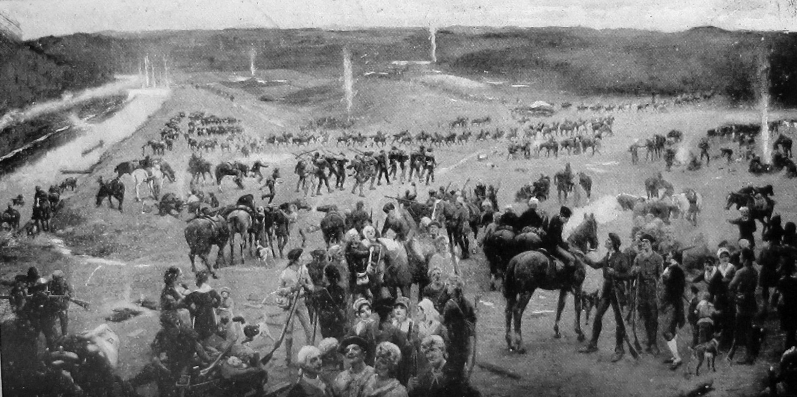
The Battle of Kings Mountain was a military engagement between Patriot and Loyalist militias in South Carolina during the southern campaign of the American Revolutionary War, resulting in a decisive victory for the Patriots. The battle took place on October 7, 1780, south of the present-day town of Kings Mountain, North Carolina. In what is now rural Cherokee County, South Carolina, the Patriot militia defeated the Loyalist militia commanded by British Major Patrick Ferguson of the 71st Regiment of Foot. The battle has been described as "the war's largest all-American fight". Ferguson had arrived in North Carolina in early September 1780 to recruit troops for the Loyalist militia and protect the flank of Lord Cornwallis's main force. Ferguson challenged Patriot militias to lay down their arms or suffer the consequences. In response, the Patriot militias led by Benjamin Cleveland, James Johnston, William Campbell, John Sevier, Joseph McDowell, and Isaac Shelby rallied to ... [...More Info...] [...Related Items...] OR: [Wikipedia] [Google] [Baidu] |
Rowan County, North Carolina
Rowan County ( ),Talk Like a Tarheel , from the North Carolina Collection website at the . Retrieved August 16, 2023. officially the County of Rowan, is a in the U.S. state of . As of the [...More Info...] [...Related Items...] OR: [Wikipedia] [Google] [Baidu] |
North Carolina
North Carolina ( ) is a U.S. state, state in the Southeastern United States, Southeastern region of the United States. It is bordered by Virginia to the north, the Atlantic Ocean to the east, South Carolina to the south, Georgia (U.S. state), Georgia to the southwest, and Tennessee to the west. The state is the List of U.S. states and territories by area, 28th-largest and List of U.S. states and territories by population, 9th-most populous of the List of states and territories of the United States, United States. Along with South Carolina, it makes up the Carolinas region of the East Coast of the United States, East Coast. At the 2020 United States census, 2020 census, the state had a population of 10,439,388. Raleigh, North Carolina, Raleigh is the state's List of capitals in the United States, capital and Charlotte, North Carolina, Charlotte is its List of municipalities in North Carolina, most populous and one of the fastest growing cities in the United States. The Charl ... [...More Info...] [...Related Items...] OR: [Wikipedia] [Google] [Baidu] |
Tryon County, North Carolina
Tryon County is a former county which was located in the U.S. state of North Carolina. It was formed in 1768 from the part of Mecklenburg County west of the Catawba River, although the legislative act that created it did not become effective until April 10, 1769. Due to inaccurate and delayed surveying, Tryon County encompassed a large area of northwestern South Carolina."Tryon County, North Carolina History" by Alfred Nixon; 1910 It was named for , of the [...More Info...] [...Related Items...] OR: [Wikipedia] [Google] [Baidu] |
Mecklenburg County, North Carolina
Mecklenburg County () is a County (United States), county located in the southwestern region of the U.S. state of North Carolina, in the United States. As of the 2020 United States census, 2020 census, the population was 1,115,482, making it the List of counties in North Carolina, second-most populous county in North Carolina (after Wake County, North Carolina, Wake County), and the first county in the Carolinas to surpass one million in population. Its county seat is Charlotte, North Carolina, Charlotte, the state's largest municipality. Mecklenburg County is the central county of the Charlotte metropolitan area, Charlotte-Concord-Gastonia, NC-SC Metropolitan Statistical Area. On September 12, 2013, it was estimated the county surpassed one million residents. Like its seat, the county is named after Charlotte of Mecklenburg-Strelitz, Queen of the United Kingdom (1761–1818), whose name is derived from the region of Mecklenburg in Germany. It was named for Mecklenburg Castle ... [...More Info...] [...Related Items...] OR: [Wikipedia] [Google] [Baidu] |
Anson County, North Carolina
Anson County is a county located in the U.S. state of North Carolina. As of the 2020 census, the population was 22,055. Its county seat is Wadesboro. History The area eventually comprising Anson County was originally occupied by Native Americans of the Catawba and Waxhaw tribes. The county was formed in 1750 from Bladen County. It was named for George Anson, Baron Anson, a British admiral who circumnavigated the world. Anson purchased land in the state. The county seat was designated at New Town in 1783. Four years later it was renamed Wadesboro. Reductions to its extent began in 1753, when the northern part of it became Rowan County. In 1762 the western part of Anson County became Mecklenburg County. In 1779 the northern part of what remained of Anson County became Montgomery County, and the part east of the Pee Dee River became Richmond County. Finally, in 1842 the western part of Anson County was combined with the southeastern part of Mecklenburg County to become ... [...More Info...] [...Related Items...] OR: [Wikipedia] [Google] [Baidu] |
Bladen County, North Carolina
Bladen County () , from the North Carolina Collection's website at the . Retrieved February 8, 2013. is a located in the of . As of the [...More Info...] [...Related Items...] OR: [Wikipedia] [Google] [Baidu] |
Great Wagon Road
The Great Wagon Road, also known as the Philadelphia Wagon Road, is a historic trail in the eastern United States that was first traveled by indigenous tribes, and later explorers, settlers, soldiers, and travelers. It extended from British Pennsylvania to North Carolina, through the Great Appalachian Valley, and from there to Georgia. History The heavily traveled Great Wagon Road was the primary route for the early settlement of the Southern United States, particularly the " backcountry". Although a wide variety of settlers traveled southward on the road, two dominant cultures emerged. The German Palatines and Scotch-Irish immigrants arrived in huge numbers because of bloody religious conflicts and persecution of Protestants by monarchies in Great Britain and Europe. The mostly Protestant German Palatines (also known as Pennsylvania Dutch) tended to find rich farmland and work it zealously to become stable and prosperous. The other group, mostly Protestant Presbyterians know ... [...More Info...] [...Related Items...] OR: [Wikipedia] [Google] [Baidu] |
Pennsylvania
Pennsylvania, officially the Commonwealth of Pennsylvania, is a U.S. state, state spanning the Mid-Atlantic (United States), Mid-Atlantic, Northeastern United States, Northeastern, Appalachian, and Great Lakes region, Great Lakes regions of the United States. It borders Delaware to its southeast, Maryland to its south, West Virginia to its southwest, Ohio and the Ohio River to its west, Lake Erie and New York (state), New York to its north, the Delaware River and New Jersey to its east, and the Provinces and territories of Canada, Canadian province of Ontario to its northwest via Lake Erie. Pennsylvania's most populous city is Philadelphia. Pennsylvania was founded in 1681 through a royal land grant to William Penn, the son of William Penn (Royal Navy officer), the state's namesake. Before that, between 1638 and 1655, a southeast portion of the state was part of New Sweden, a Swedish Empire, Swedish colony. Established as a haven for religious and political tolerance, the B ... [...More Info...] [...Related Items...] OR: [Wikipedia] [Google] [Baidu] |


