|
Wogastisburg
According to the contemporary ''Chronicle of Fredegar'', the Battle of Wogastisburg was a battle between Slavs (''Sclav, cognomento Winidi'') under King Samo and Franks under King Dagobert I in 631. The Frankish armies advanced into the area of the Slavic tribal union in three groups - Alamanni, Lombards, and Austrasian Franks. The first two were quite successful, but the main fighting force was defeated in a three-day battle near a place referred to as ''Wogastisburg''. The site of the battle cannot be successfully located because the source, Fredegar's chronicle, gives no geographical specifications. Thus a lot of places claim to be connected with the battle (usually based on linguistic parallels and some excavations), such as Rubín hill near Podbořany (Bohemia), Úhošť hill near Kadaň (Bohemia), Bratislava (Slovakia), Trenčín (Slovakia), Beckov (Slovakia), Váh river = Voga (Slovakia), Staffelberg near Bad Staffelstein (Upper Franconia), Burk near Forchheim (Upper F ... [...More Info...] [...Related Items...] OR: [Wikipedia] [Google] [Baidu] |
Podbořany
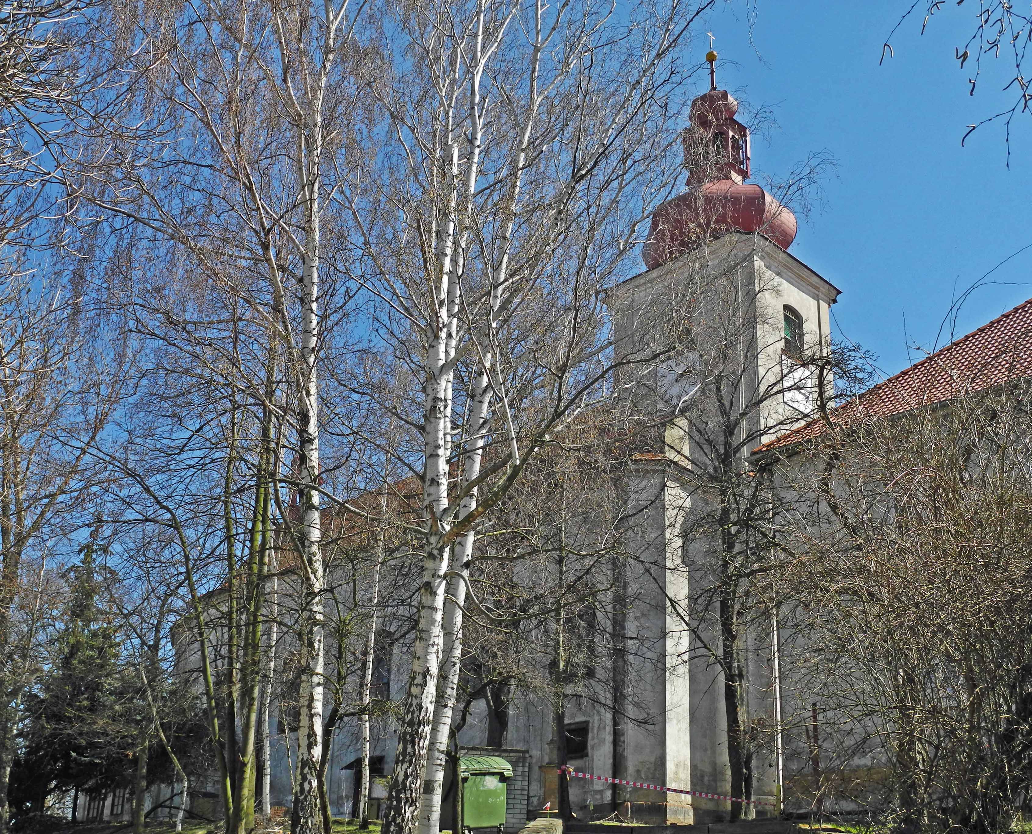
Podbořany (; german: Podersam) is a town in Louny District in the Ústí nad Labem Region of the Czech Republic. It has about 6,200 inhabitants. The town is known for producing hops. Administrative parts Town parts and villages of Buškovice, Dolánky, Hlubany, Kaštice, Kněžice, Letov, Mory, Neprobylice, Oploty, Pšov, Sýrovice and Valov are administrative parts of Podbořany. Geography Podbořany is located about southwest of Louny and east of Karlovy Vary. It lies mostly in the Most Basin, but a small western part of the municipal territory extends into the Doupov Mountains and includes the highest point of Podbořany at above sea level. The Dolánecký Stream flows through the town. History According to archaeological research, Slavs, Slavic tribes lived here before the 10th century, and there was an important Slavic Gord (archaeology), gord on the nearby Rubín hill. Some researchers even identify Rubín with the mythical Wogastisburg, which was the scene of the Battle ... [...More Info...] [...Related Items...] OR: [Wikipedia] [Google] [Baidu] |
Samo
Samo (–) founded the first recorded political union of Slavic tribes, known as Samo's Empire (''realm'', ''kingdom'', or ''tribal union''), stretching from Silesia to present-day Slovakia, ruling from 623 until his death in 658. According to Fredegarius, the only contemporary source, Samo was a Frankish merchant who unified several Slavic tribes against robber raids and violence by nearby settled Avars, showing such bravery and command skills in battle that he was elected as the "Slavic king" ( la, rex Sclavorum). In 631, Samo successfully defended his realm against the Frankish Kingdom in the three-day Battle of Wogastisburg. Reign The dates for Samo's rule are based on Fredegar, who says that he went to the Slavs in the fortieth year of Chlothar II (i.e., 623–24) and reigned for thirty five years.Curta, 109. The interpretation that places the start of Samo's reign in the year of Fredegar's arrival has been questioned on the basis that the Wends would have most ... [...More Info...] [...Related Items...] OR: [Wikipedia] [Google] [Baidu] |
Samo's Empire
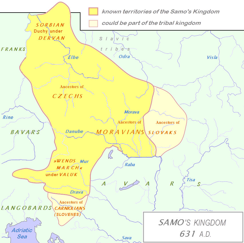
Samo's Empire (also known as Samo's Kingdom or Samo's State) is the historiographical name for the West Slavic tribal union established by King (" Rex") Samo, which existed between 623 and 658 in Central Europe. The centre of the union was most likely in Moravia and Nitravia (Nitra), additionally the union included Czech tribes, Sorbian tribes (under Dervan) and other West Slavic tribes along the river Danube (present Lower Austria). The polity has been called the first Slavic state. Territory It is generally believed that the tribal union included the regions of Moravia, Nitravia (''Nitra''), Silesia, Bohemia and Lusatia. According to Julius Bartl, the centre of the polity lay "somewhere in the area of southern Moravia, Lower Austria, and western Slovakia (Nitravia)". According to J. B. Bury, "the assumption that his kingdom embraced Carantania, the country of the Alpine Slavs, rests only upon the Anonymus de conversione Bagariorum et Carantanorum". Archaeological findings ... [...More Info...] [...Related Items...] OR: [Wikipedia] [Google] [Baidu] |
Dagobert I
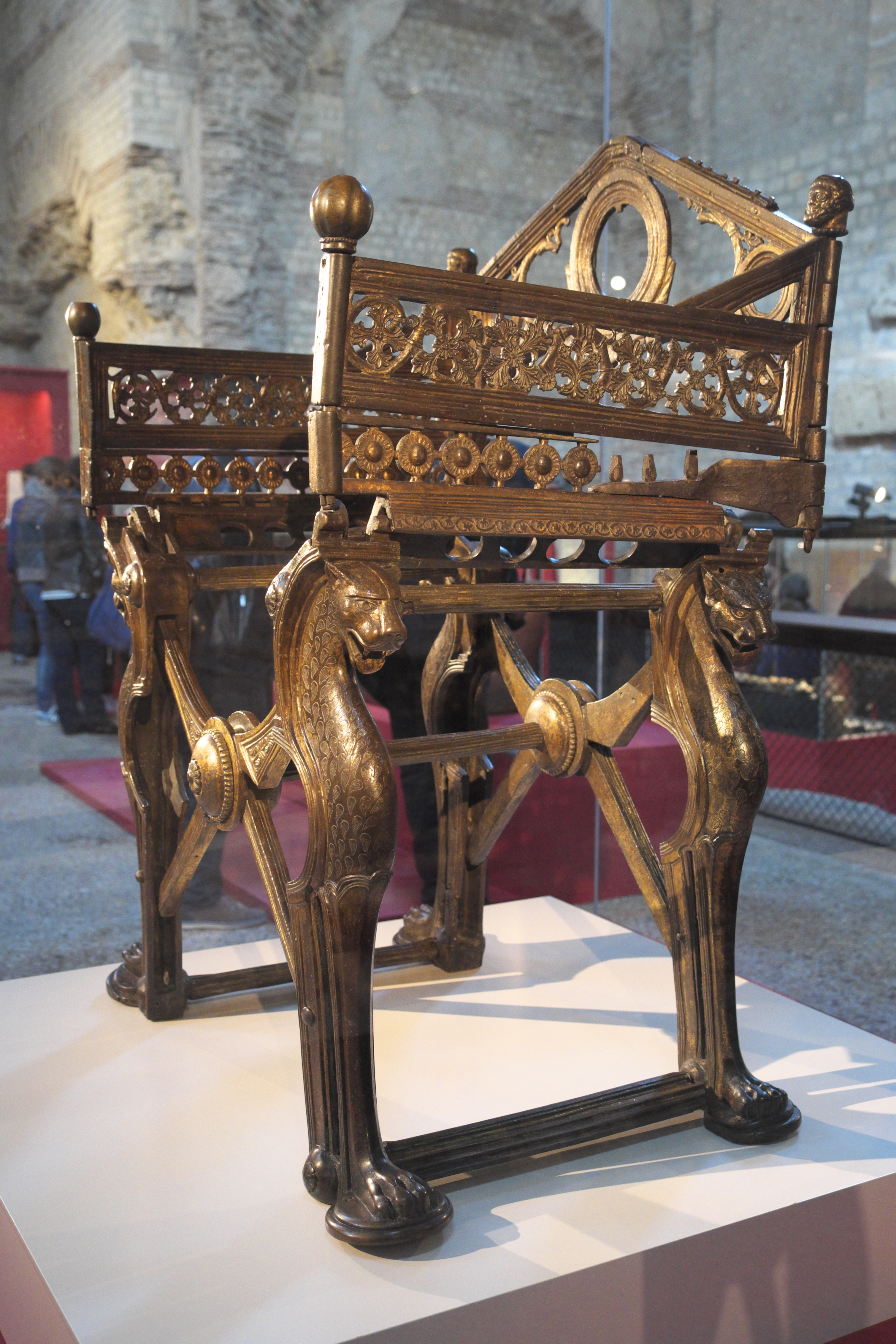
Dagobert I ( la, Dagobertus; 605/603 – 19 January 639 AD) was the king of Austrasia (623–634), king of all the Franks (629–634), and king of Neustria and Burgundy (629–639). He has been described as the last king of the Merovingian dynasty to wield any real royal power. Dagobert was the first of the Frankish kings to be buried in the royal tombs at Saint Denis Basilica. Rule in Austrasia Dagobert was the eldest son of Chlothar II and Haldetrude (575–604) and the grandson of Fredegund. Chlothar had reigned alone over all the Franks since 613. In 622, Chlothar made Dagobert king of Austrasia, almost certainly to bind the Austrasian nobility to the ruling Franks. As a child, Dagobert lived under the care of the Carolingian dynasty forebears and Austrasian magnates, Arnulf of Metz and Pepin of Landen. Chlothar attempted to manage the unstable alliances he had with other noble families throughout much of Dagobert's reign. When Chlothar granted Austrasia to Dagobert, he ... [...More Info...] [...Related Items...] OR: [Wikipedia] [Google] [Baidu] |
Kadaň
Kadaň (; german: Kaaden) is a town in Chomutov District in the Ústí nad Labem Region of the Czech Republic. It has about 18,000 inhabitants. It lies on the banks of the river Ohře. Kadaň is a tourist centre with highlights being the Franciscan Monastery and the historical square with late Gothic Town Hall Tower. The town centre is well preserved and is protected by law as an urban monument reservation. Administrative parts Villages of Brodce, Kadaňská Jeseň, Meziříčí, Nová Víska, Pokutice, Prunéřov, Tušimice, Úhošťany and Zásada u Kadaně are administrative parts of Kadaň. Geography Kadaň is located about southwest of Chomutov and northeast of Karlovy Vary. It lies on the border between the Most Basin and Doupov Mountains. The northern tip of the municipal territory extends into the Ore Mountains. The highest point is the hill Dubový vrch at above sea level, located on the southern border of the territory. Kadaň is situated on the banks of the ri ... [...More Info...] [...Related Items...] OR: [Wikipedia] [Google] [Baidu] |
Francia
Francia, also called the Kingdom of the Franks ( la, Regnum Francorum), Frankish Kingdom, Frankland or Frankish Empire ( la, Imperium Francorum), was the largest post-Roman barbarian kingdom in Western Europe. It was ruled by the Franks during late antiquity and the Early Middle Ages. After the Treaty of Verdun in 843, West Francia became the predecessor of France, and East Francia became that of Germany. Francia was among the last surviving Germanic kingdoms from the Migration Period era before its partition in 843. The core Frankish territories inside the former Western Roman Empire were close to the Rhine and Meuse rivers in the north. After a period where small kingdoms interacted with the remaining Gallo-Roman institutions to their south, a single kingdom uniting them was founded by Clovis I who was crowned King of the Franks in 496. His dynasty, the Merovingian dynasty, was eventually replaced by the Carolingian dynasty. Under the nearly continuous campaigns of ... [...More Info...] [...Related Items...] OR: [Wikipedia] [Google] [Baidu] |
Trenčín
Trenčín (, also known by other alternative names) is a city in western Slovakia of the central Váh River valley near the Czech border, around from Bratislava. It has a population of more than 55,000, which makes it the eighth largest municipality of the country and is the seat of the Trenčín Region and the Trenčín District. It has a medieval castle, Trenčín Castle, on a rock above the city. Trenčín is chosen as the European Capital of Culture in 2026. Names and etymology Trenčín was first mentioned under the Greek name ''Leukaristos'' (Λευκάριστος), depicted on the Ptolemy world map around 150 CE. During the course of the Marcomannic Wars between the Roman Empire and Germanic Quadi, the Romans carved an inscription on the rock under the present-day castle in 179 CE and the place was mentioned as ''Laugaricio''. For a long time it was considered the northernmost known presence of the Romans in Central Europe. The first written mentions in the M ... [...More Info...] [...Related Items...] OR: [Wikipedia] [Google] [Baidu] |
Danube
The Danube ( ; ) is a river that was once a long-standing frontier of the Roman Empire and today connects 10 European countries, running through their territories or being a border. Originating in Germany, the Danube flows southeast for , passing through or bordering Austria, Slovakia, Hungary, Croatia, Serbia, Romania, Bulgaria, Moldova, and Ukraine before draining into the Black Sea. Its drainage basin extends into nine more countries. The largest cities on the river are Vienna, Budapest, Belgrade and Bratislava, all of which are the capitals of their respective countries; the Danube passes through four capital cities, more than any other river in the world. Five more capital cities lie in the Danube's basin: Bucharest, Sofia, Zagreb, Ljubljana and Sarajevo. The fourth-largest city in its basin is Munich, the capital of Bavaria, standing on the Isar River. The Danube is the second-longest river in Europe, after the Volga in Russia. It flows through much of Central ... [...More Info...] [...Related Items...] OR: [Wikipedia] [Google] [Baidu] |
Traismauer
Traismauer is a municipality in the district of Sankt Pölten-Land in Lower Austria, Austria Austria, , bar, Östareich officially the Republic of Austria, is a country in the southern part of Central Europe, lying in the Eastern Alps. It is a federation of nine states, one of which is the capital, Vienna, the most populous .... It was established by the Romans, probably on a location of prior settlements. Some Roman buildings survive to this day. Population See also * Gemeinlebarn References Cities and towns in St. Pölten-Land District {{LowerAustria-geo-stub ... [...More Info...] [...Related Items...] OR: [Wikipedia] [Google] [Baidu] |
Staffelberg
The Staffelberg is a hill in Bavaria, Germany. It is part of the Franconian Switzerland and one of the most important landmarks in Franconia. First settlements date from the Neolithic. Romans, Celts and Franconians followed. During the La Tène period the Celtic ''oppidum'' of Menosgada was built on the plateau of the Staffelberg. Nowadays, it is a famous tourist attraction – not only because of the view over the Main valley. The Staffelberg is located close to Vierzehnheiligen and the district capital of Lichtenfels. At the foot of the hill lies the town of Bad Staffelstein Bad Staffelstein is a small town in the Bavarian Administrative Region of Upper Franconia in Germany. It has around 10,000 inhabitants. Bad Staffelstein is known for several landmarks, such as the Basilica of the Vierzehnheiligen designed by B .... On the peak of the hill there is a little chapel (''Adelgundiskapelle'') and a restaurant. The entire hill is protected by environmental laws. Extern ... [...More Info...] [...Related Items...] OR: [Wikipedia] [Google] [Baidu] |
Forchheim (Upper Franconia)
Forchheim () is a town in Upper Franconia (german: Oberfranken) in northern Bavaria, and also the seat of the administrative district of Forchheim. Forchheim is a former royal city, and is sometimes called the Gateway to the Franconian Switzerland, referring to the region of outstanding natural beauty to the north east of the town. Nowadays Forchheim is most famous for its ten day long beer and music festival (Annafest) which takes place in late July in an idyllic wooded hillside, home to 24 beer gardens, on the outskirts of the town. Forchheim's population, as of December 2013, was 30,705, and its land area is . Its position is 49° 44' N, 11° 04' E and its elevation is above sea level. Name and coat of arms When the coat of arms was bestowed upon the town at the beginning of the 13th century, people wrongly believed that their town's name, "Vorchheim" originates from the Old High German word ''vorhe'' (“trout”). This resulted in the coat of arms showing two trout (abo ... [...More Info...] [...Related Items...] OR: [Wikipedia] [Google] [Baidu] |
Gerard Labuda
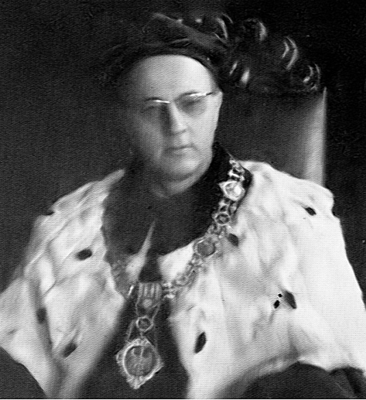
Gerard Labuda ( csb, Gerard Labùda; 28 December 1916 – 1 October 2010) was a Polish historian whose main fields of interest were the Middle Ages and the Western Slavs. He was born in Kashubia. He lived and died in Poznań, Poland. Life Labuda was born in Nowa Huta, Pomeranian Voivodeship, Kartuzy, Poland (before 1918 Neuhütte/ Karthaus, West Prussia / Prussian Partition of Poland, Germany), into a Kashubian family. He was the son of Stanislaw Labuda and Anastazja Baranowska. From 1950 he was a professor at Poznań University; rector 1962–1965; from 1951 a member of the Polish Academy of Learning (''PAU''); president 1989–1994; from 1964 member of the Polish Academy of Sciences (''PAN''); vice-president 1984–1989; from 1959 to 1961 director of the Western Institute (''Instytut Zachodni'') in Poznań and a member of the New York Academy of Sciences. He was buried in Luzino - Kashubia. From 1958 onwards he edited the multi-volume '' Słownik Staroży ... [...More Info...] [...Related Items...] OR: [Wikipedia] [Google] [Baidu] |


