|
Winchester (community), Winnebago County, Wisconsin
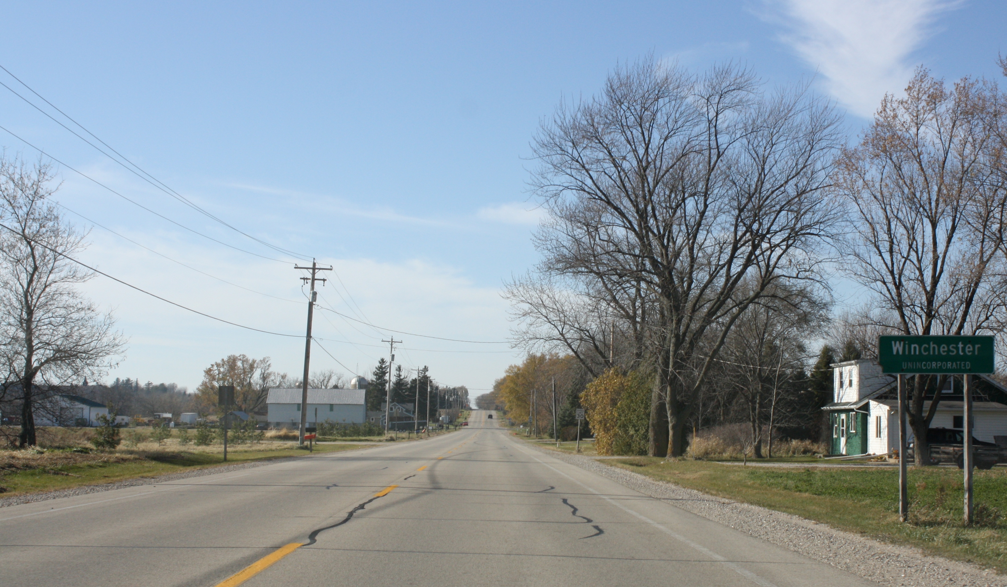
Winchester is an unincorporated census-designated place in the town of Winchester in Winnebago County, Wisconsin, United States. The community is located less than 1 mile (1 kilometer) from the southern intersection of U.S. Route 10 and U.S. Route 45. Wisconsin Highway 150 passed east–west through the community until the road was decommissioned by the state of Wisconsin, the road is now designated County Highway II. It has an elevation of 846 feet above mean sea level at latitude 44.199 and longitude -88.665. As of the 2010 census, its population is 671. Notable people * The Norwegian-American writer Peer Stromme Peer Stromme also Per Olsen Strømme (September 15, 1856 – September 15, 1921) was an American pastor, teacher, journalist, and author. Early life and education Peer Olson Strømme was born in Winchester, Wisconsin to immigrant parents from No ... was born in Winchester. The demographics, according to the 2020 Census, place the population at 99.4% Caucasian, t ... [...More Info...] [...Related Items...] OR: [Wikipedia] [Google] [Baidu] |
Census-designated Place
A census-designated place (CDP) is a Place (United States Census Bureau), concentration of population defined by the United States Census Bureau for statistical purposes only. CDPs have been used in each decennial census since 1980 as the counterparts of incorporated places, such as self-governing city (United States), cities, town (United States), towns, and village (United States), villages, for the purposes of gathering and correlating statistical data. CDPs are populated areas that generally include one officially designated but currently unincorporated area, unincorporated community, for which the CDP is named, plus surrounding inhabited countryside of varying dimensions and, occasionally, other, smaller unincorporated communities as well. CDPs include small rural communities, Edge city, edge cities, colonia (United States), colonias located along the Mexico–United States border, and unincorporated resort and retirement community, retirement communities and their environs. ... [...More Info...] [...Related Items...] OR: [Wikipedia] [Google] [Baidu] |
Peer Stromme
Peer Stromme also Per Olsen Strømme (September 15, 1856 – September 15, 1921) was an American pastor, teacher, journalist, and author. Early life and education Peer Olson Strømme was born in Winchester, Wisconsin to immigrant parents from Norway. Stromme graduated from Luther College and attended Concordia Seminary in St. Louis. Career In 1879, he was ordained into the Lutheran ministry. He subsequently held a teaching post at St. Olaf College. Peer Stromme was editor of ''Norden'', a Norwegian language paper in Chicago. Additionally he was the founding editor of the Norwegian language newspaper ''Dagbladet''. He also translated books for the John Anderson Publishing Company in Chicago and the Lutheran Publishing House of Decorah, Iowa. Stromme was the author of several books written in the Norwegian language which explored the Norwegian immigrant experience. His articles appeared in the Norwegian-American Norwegian Americans () are Americans with ancestral roots ... [...More Info...] [...Related Items...] OR: [Wikipedia] [Google] [Baidu] |
Norwegian-American
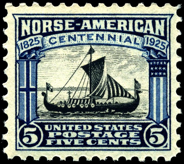
Norwegian Americans () are Americans with ancestral roots in Norway. Norwegian immigrants went to the United States primarily in the latter half of the 19th century and the first few decades of the 20th century. There are more than 4.5 million Norwegian Americans, according to the 2021 U.S. census; most live in the Upper Midwest and on the West Coast of the United States. Immigration Viking-era exploration Norsemen from Greenland and Iceland were the first Europeans to reach North America. Leif Erikson reached North America via Norse settlements in Greenland around the year 1000. Norse settlers from Greenland founded the settlement of L'Anse aux Meadows in Vinland, in what is now Newfoundland, Canada. These settlers failed to establish a permanent settlement because of conflicts with indigenous people and within the Norse community. Colonial settlement The Netherlands, and especially the cities of Amsterdam and Hoorn, had strong commercial ties with the coastal lumber ... [...More Info...] [...Related Items...] OR: [Wikipedia] [Google] [Baidu] |
Wisconsin Highway 150
State Trunk Highway 150 (often called Highway 150, STH-150 or WIS 150) was a state highway (US), state highway in the U.S. state of Wisconsin. It ran east–west between Winchester (CDP), Wisconsin, Winchester and Neenah, Wisconsin, Neenah. In 2003, the road was turned over to Winnebago County, WI, Winnebago County, which now maintains it as County Trunk Highway II (CTH-II). History Initially, in 1923, WIS 150 was formed to travel along modern-day CTH-II, CTH-O, and Main Street from WIS 95 (later US 110, then WIS 110, then US 45, now CTH-M) in Winchester to WIS 15 (later US 41) in Neenah. Later, part of the route near Neenah moved north off from CTH-O, following more part of modern-day CTH-II and Lake Street. After US 41 bypassed downtown Appleton, Neenah, and Menasha in 1938, a part of WIS 150 on Lake Street was rerouted westward onto US 41 (Green Bay Road). In 1959, US 41 between Neenah and US 10 (now WIS 9 ... [...More Info...] [...Related Items...] OR: [Wikipedia] [Google] [Baidu] |
Winchester, Winnebago County, Wisconsin
Winchester is a town in Winnebago County, Wisconsin, Winnebago County, Wisconsin, United States. The population was 1,763 at the 2010 census. The census-designated place of Winchester (CDP), Wisconsin, Winchester and the unincorporated communities of Clarks Point, Indian Shores, Lasleys Point, and Piacenza are located in the town. Geography According to the United States Census Bureau, the town has a total area of , of which is land and , or 2.82%, is water. Demographics At the 2000 United States Census, 2000 census there were 1,676 people, 620 households, and 491 families in the town. The population density was 46.8 people per square mile (18.1/km). There were 636 housing units at an average density of 17.8 per square mile (6.9/km). The Race and ethnicity in the United States Census#2000 census, racial makeup of the town was 99.22% White, 0.18% African American, 0.06% Native American, 0.12% from other races, and 0.42% from two or more races. Hispanic or Latino of any race were ... [...More Info...] [...Related Items...] OR: [Wikipedia] [Google] [Baidu] |
Geographic Names Information System
The Geographic Names Information System (GNIS) is a database of name and location information about more than two million physical and cultural features, encompassing the United States and its territories; the Compact of Free Association, associated states of the Marshall Islands, Federated States of Micronesia, and Palau; and Antarctica. It is a type of gazetteer. It was developed by the United States Geological Survey (USGS) in cooperation with the United States Board on Geographic Names (BGN) to promote the standardization of feature names. Data were collected in two phases. Although a third phase was considered, which would have handled name changes where local usages differed from maps, it was never begun. The database is part of a system that includes topographic map names and bibliographic references. The names of books and historic maps that confirm the feature or place name are cited. Variant names, alternatives to official federal names for a feature, are also recor ... [...More Info...] [...Related Items...] OR: [Wikipedia] [Google] [Baidu] |
List Of Sovereign States
The following is a list providing an overview of sovereign states around the world with information on their status and recognition of their sovereignty. The 205 listed states can be divided into three categories based on membership within the United Nations System: 193 member states of the United Nations, UN member states, two United Nations General Assembly observers#Current non-member observers, UN General Assembly non-member observer states, and ten other states. The ''sovereignty dispute'' column indicates states having undisputed sovereignty (188 states, of which there are 187 UN member states and one UN General Assembly non-member observer state), states having disputed sovereignty (15 states, of which there are six UN member states, one UN General Assembly non-member observer state, and eight de facto states), and states having a political status of the Cook Islands and Niue, special political status (two states, both in associated state, free association with New ... [...More Info...] [...Related Items...] OR: [Wikipedia] [Google] [Baidu] |
Area Code 920
Area codes 920 and 274 are telephone area codes in the North American Numbering Plan (NANP) for a large area of eastern Wisconsin. Area code 920 was created on July 26, 1997, in a split of area code 414, one of the original North American area codes of 1947. 274 was added to the same numbering plan area (NPA) on May 5, 2023 to create an area code overlay. The 920/274 area code covers most of Northeast Wisconsin including Green Bay and the Fox Cities as well as the far northern and eastern exurban areas of the Madison MSA and far northern and western portions of the Milwaukee CSA History When the American Telephone and Telegraph Company (AT&T) divided the North American continent into the original eighty-six numbering plan areas (NPAs) for the first nationwide telephone numbering plan in 1947, Wisconsin received two area codes, 414 for the south and northeast, and 715, for the northern part. On November 22, 1996, Ameritech notified Bellcore, the North American Numbering Pl ... [...More Info...] [...Related Items...] OR: [Wikipedia] [Google] [Baidu] |
Central Time Zone
The North American Central Time Zone (CT) is a time zone in parts of Canada, the United States The United States of America (USA), also known as the United States (U.S.) or America, is a country primarily located in North America. It is a federal republic of 50 U.S. state, states and a federal capital district, Washington, D.C. The 48 ..., Mexico, Central America, and a few Caribbean Islands, Caribbean islands. In parts of that zone (20 states in the US, three provinces or territories in Canada, and several border municipalities in Mexico), the Central Time Zone is affected by two time designations yearly: Central Standard Time (CST) is observed from the first Sunday in November to the second Sunday in March. It is UTC−06:00, six hours behind Coordinated Universal Time (UTC) and designated internationally as UTC−6. From the second Sunday in March to the first Sunday in November the same areas observe daylight saving time (DST), creating the designation of Central ... [...More Info...] [...Related Items...] OR: [Wikipedia] [Google] [Baidu] |


