|
Whitehouse, Ohio
Whitehouse is a village within the Toledo Metropolitan Area in Lucas County, Ohio, United States. The population was 4,990 at the 2020 census. History The area now known as the Village of Whitehouse was originally occupied by various Native American tribes, such as the Miami, Ottawa, Shawnee, Wyandot, and Delaware. Settlers of European descent began travelling through the Northwestern Territory after "Mad" Anthony Wayne's victory at the Battle of Fallen Timbers in 1794. Many settlers were of German or Dutch descent in search of farmland. Canal access also attracted many settlers to this particular area. A post office was established as Whitehouse in 1856. Whitehouse was platted in 1864. The village was named for Edward Whitehouse, a railroad official and treasurer of the Wabash Railroad. Geography According to the United States Census Bureau, the village has a total area of , all land. Demographics 2010 census At the 2010 census, there were 4,149 people, 1,524 househol ... [...More Info...] [...Related Items...] OR: [Wikipedia] [Google] [Baidu] |
Village (United States)
In the United States, the meaning of village varies by geographic area and legal jurisdiction. In formal usage, a "village" is a type of administrative division at the local government in the United States, local government level. Since the Tenth Amendment to the United States Constitution prohibits the federal government from legislating on local government, the U.S. state, states are free to have political subdivisions called "villages" or not to and to define the word in many ways. Typically, a village is a type of municipality, although it can also be a special-purpose district, special district or an unincorporated area. It may or may not be recognized for governmental purposes. In informal usage, a U.S. village may be simply a relatively small clustered human settlement without formal legal existence. In colonial New England, a village typically formed around the church building, meetinghouses that were located in the center of each New England town, town.Joseph S. Wood ( ... [...More Info...] [...Related Items...] OR: [Wikipedia] [Google] [Baidu] |
1856 Establishments In Ohio
Events January–March * January 8 – Borax deposits are discovered in large quantities by John Veatch in California. * January 23 – The American sidewheel steamer SS Pacific (1849), SS ''Pacific'' leaves Liverpool (England) for a transatlantic voyage on which she will be lost with all 186 on board. * January 24 – U.S. President Franklin Pierce declares the new Free-Stater (Kansas), Free-State Topeka Constitution, Topeka government in "Bleeding Kansas" to be in rebellion. * January 26 – First Battle of Seattle (1856), Battle of Seattle: Marines from the suppress an indigenous uprising, in response to Governor Stevens' declaration of a "war of extermination" on Native communities. * January 29 ** The 223-mile North Carolina Railroad is completed from Goldsboro, North Carolina, Goldsboro through Raleigh, North Carolina, Raleigh and Salisbury, North Carolina, Salisbury to Charlotte, North Carolina, Charlotte. ** Queen Victoria institutes the Victori ... [...More Info...] [...Related Items...] OR: [Wikipedia] [Google] [Baidu] |
Villages In Lucas County, Ohio
A village is a human settlement or Residential community, community, larger than a hamlet (place), hamlet but smaller than a town with a population typically ranging from a few hundred to a few thousand. Although villages are often located in rural areas, the term urban village is also applied to certain urban neighborhoods. Villages are normally permanent, with fixed dwellings; however, transient villages can occur. Further, the dwellings of a village are fairly close to one another, not scattered broadly over the landscape, as a dispersed settlement. In the past, villages were a usual form of community for societies that practice subsistence agriculture and also for some non-agricultural societies. In Great Britain, a hamlet earned the right to be called a village when it built a Church (building), church. [...More Info...] [...Related Items...] OR: [Wikipedia] [Google] [Baidu] |
Poverty Line
The poverty threshold, poverty limit, poverty line, or breadline is the minimum level of income deemed adequate in a particular country. The poverty line is usually calculated by estimating the total cost of one year's worth of necessities for the average adult.Poverty Lines – Martin Ravallion, in The New Palgrave Dictionary of Economics, 2nd Edition, London: Palgrave Macmillan The cost of housing, such as the renting, rent for an apartment, usually makes up the largest proportion of this estimate, so economists track the real estate market and other housing cost indicators as a major influence on the poverty line. Individual factors are often used to account for various circumstances, such as whether one is a parent, elderly, a child, married, etc. The poverty threshold may be adjusted annually. In practice, like the definition of poverty, the official or common understanding of the poverty line is significantly higher in developed country, developed countries than in developi ... [...More Info...] [...Related Items...] OR: [Wikipedia] [Google] [Baidu] |
United States Census Bureau
The United States Census Bureau, officially the Bureau of the Census, is a principal agency of the Federal statistical system, U.S. federal statistical system, responsible for producing data about the American people and American economy, economy. The U.S. Census Bureau is part of the United States Department of Commerce, U.S. Department of Commerce and its Director of the United States Census Bureau, director is appointed by the president of the United States. Currently, Ron S. Jarmin is the acting director of the U.S. Census Bureau. The Census Bureau's primary mission is conducting the United States census, U.S. census every ten years, which allocates the seats of the United States House of Representatives, U.S. House of Representatives to the U.S. state, states based on their population. The bureau's various censuses and surveys help allocate over $675 billion in federal funds every year and it assists states, local communities, and businesses in making informed decisions. T ... [...More Info...] [...Related Items...] OR: [Wikipedia] [Google] [Baidu] |
Wabash Railroad
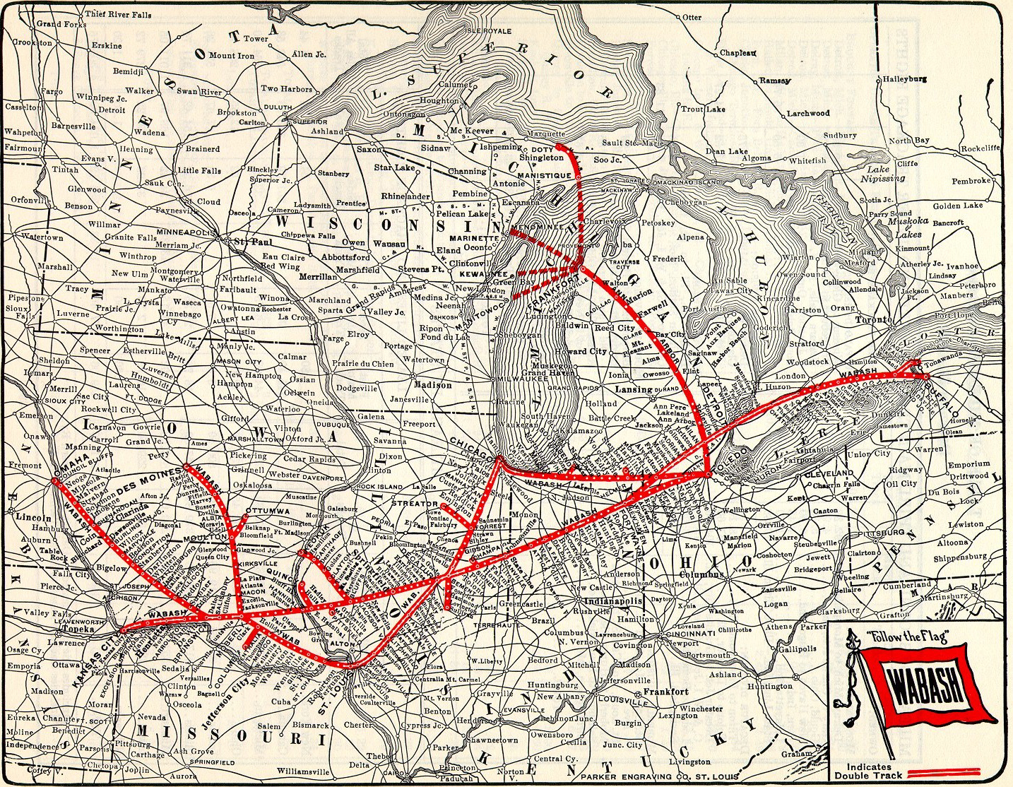
The Wabash Railroad was a Class I railroad that operated in the mid-central United States. It served a large area, including track in the states of Ohio, Indiana, Illinois, Iowa, Michigan, and Missouri and the province of Ontario. Its primary connections included Chicago, Illinois; Kansas City, Missouri; Detroit, Michigan; Buffalo, New York; St. Louis, Missouri; and Toledo, Ohio. The Wabash's major freight traffic advantage was the direct line from Kansas City to Detroit, without going through St. Louis or Chicago. Despite being merged into the Norfolk and Western Railway (N&W) in 1964, the Wabash company continued to exist on paper until the N&W merged into the Norfolk Southern Railway (NS) in 1982. At the end of 1960 Wabash operated 2,423 miles of road on 4,311 miles of track, not including Ann Arbor Railroad (1895–1976), the Ann Arbor Railroad and the New Jersey, Indiana and Illinois Railroad; that year it reported 6,407 million net ton-miles of revenue freight and 164& ... [...More Info...] [...Related Items...] OR: [Wikipedia] [Google] [Baidu] |
Plat
In the United States, a plat ( or ) (plan) is a cadastral map, drawn to scale, showing the divisions of a piece of land. United States General Land Office surveyors drafted township plats of Public Lands Survey System, Public Lands Surveys to show the distance and bearing between section corners, sometimes including topographic or vegetation information. City, town or village plats show subdivisions broken into City block, blocks with streets and alleys. Further refinement often splits blocks into individual Lot (real estate), lots, usually for the purpose of selling the described lots; this has become known as subdivision (land), subdivision. After the filing of a plat, Land description, legal descriptions can refer to block and lot-numbers rather than portions of section (land), sections. In order for plats to become legally valid, a local governing body, such as a public works department, urban planning commission, zoning board, or another organ of the state must normally r ... [...More Info...] [...Related Items...] OR: [Wikipedia] [Google] [Baidu] |
German Americans
German Americans (, ) are Americans who have full or partial German ancestry. According to the United States Census Bureau's figures from 2022, German Americans make up roughly 41 million people in the US, which is approximately 12% of the population. This represents a decrease from the 2012 census where 50.7 million Americans identified as German. The census is conducted in a way that allows this total number to be broken down in two categories. In the 2020 census, roughly two thirds of those who identify as German also identified as having another ancestry, while one third identified as German alone. German Americans account for about one third of the total population of people of German ancestry in the world. The first significant groups of German immigrants arrived in the British America, British colonies in the 1670s, and they settled primarily in the colonial states of Province of Pennsylvania, Pennsylvania, Province of New York, New York, and Colony of Virginia, Virginia ... [...More Info...] [...Related Items...] OR: [Wikipedia] [Google] [Baidu] |
Battle Of Fallen Timbers
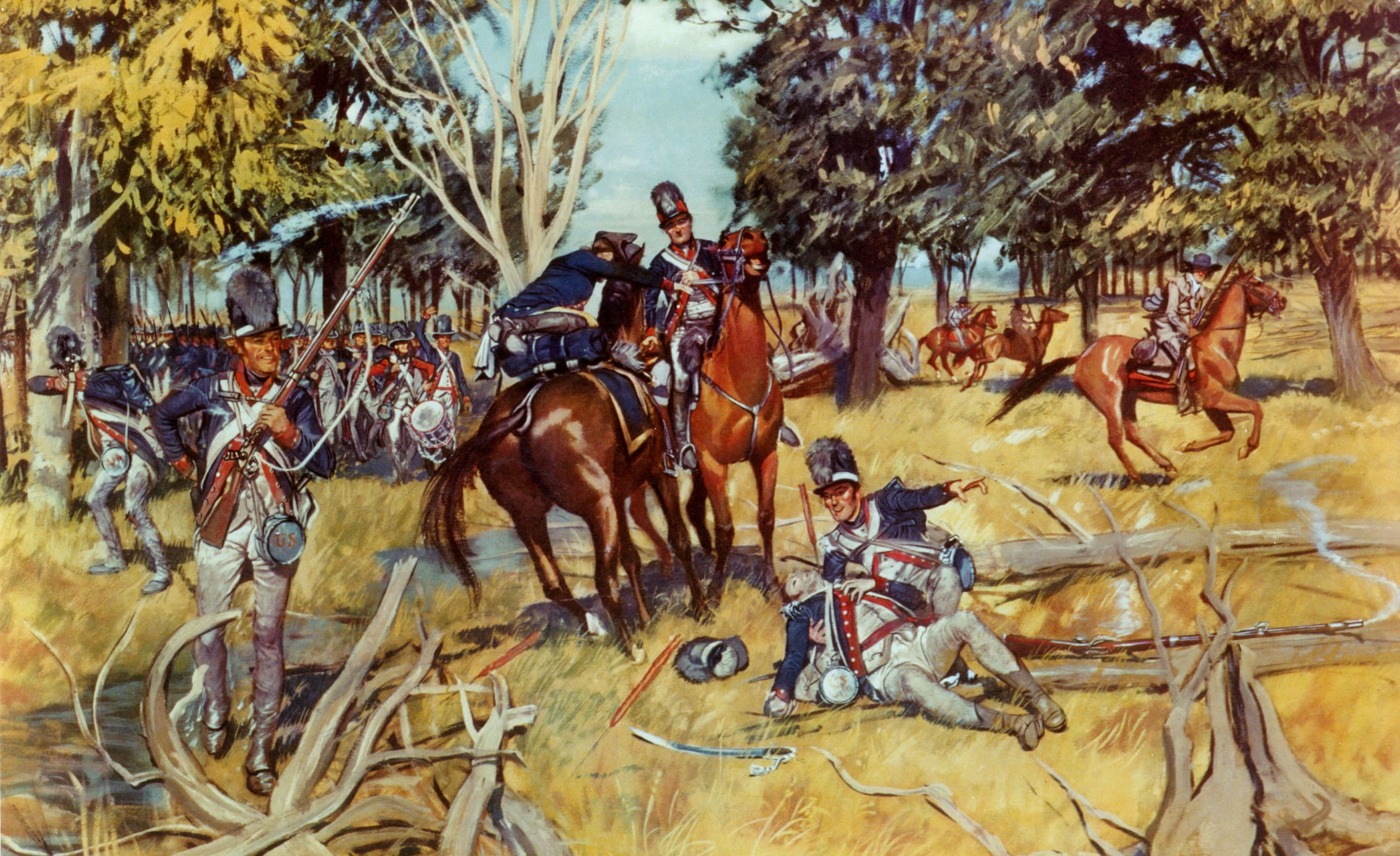
The Battle of Fallen Timbers (20 August 1794) was the final battle of the Northwest Indian War, a struggle between Indigenous peoples of North America, Native American tribes affiliated with the Northwestern Confederacy and their Kingdom of Great Britain, British allies, against the nascent United States for control of the Northwest Territory. The battle took place amid trees toppled by a tornado near the Maumee River in northwestern Ohio at the site of the present-day city of Maumee, Ohio. Major General Anthony Wayne, "Mad Anthony" Wayne's Legion of the United States, supported by General Charles Scott (governor), Charles Scott's Kentucky Militia, were victorious against a combined Native American force of Shawnee under Blue Jacket, Ottawas under Egushawa, and many others. The battle was brief, lasting little more than one hour, but it scattered the confederated Native American forces. The U.S. victory ended major hostilities in the region. The following Treaty of Greenville a ... [...More Info...] [...Related Items...] OR: [Wikipedia] [Google] [Baidu] |


