|
Waddon
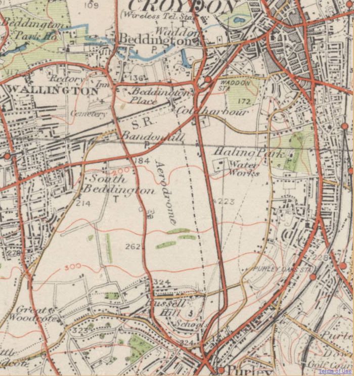
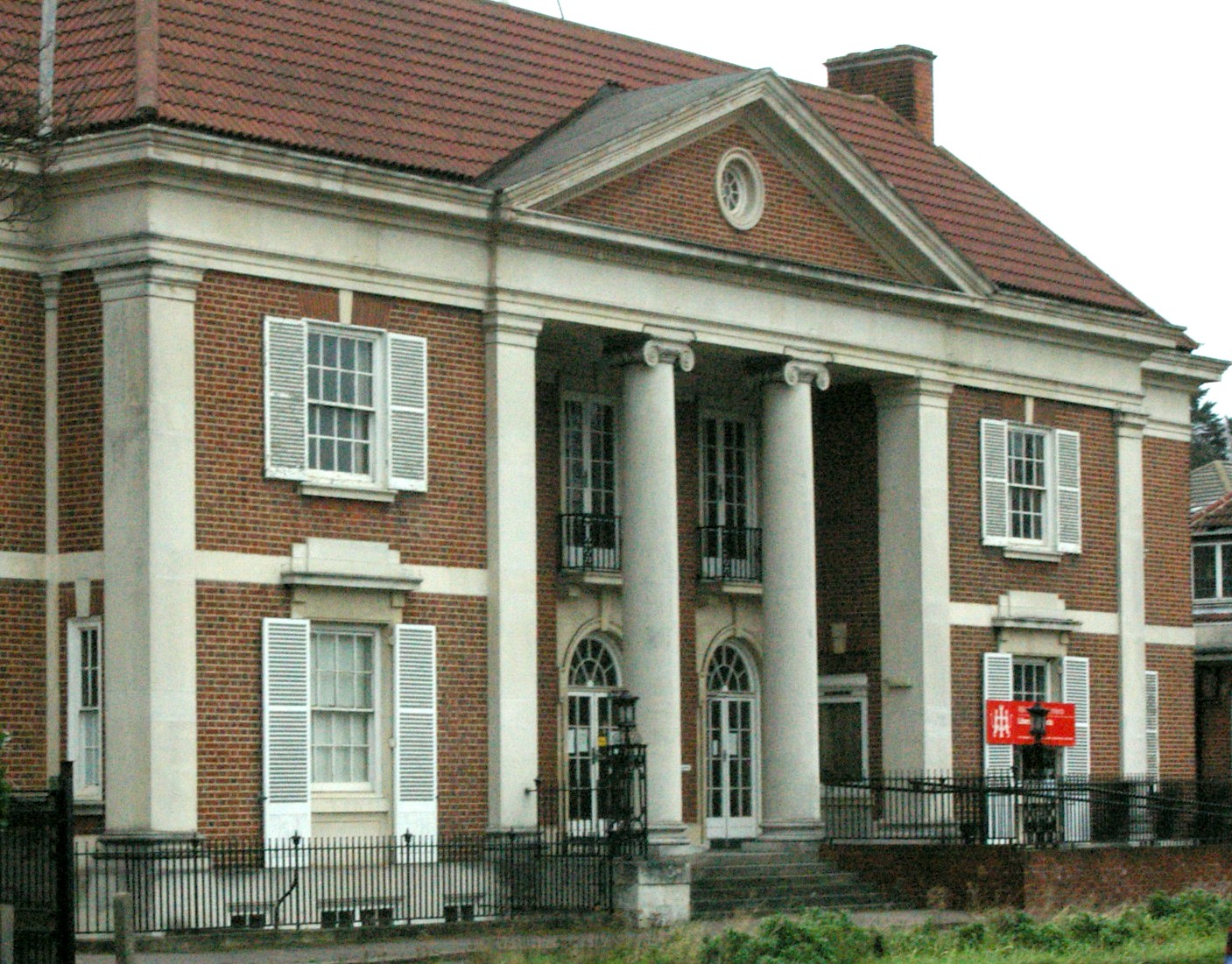
Waddon ( ) is a neighbourhood in the London Borough of Croydon, at the western end of the town of Croydon. The area borders the London Borough of Sutton. History It is not known when the manor of Croydon was granted to the Archbisop of Canterbury, See of Canterbury, but it is thought of be before then end of the 9th century. The archbishop had lands in Croydon about 871. The Domesday Book of 1086 shows it as part of the archbishop's lands held in demesne (for his own use). After a royal grant in the 13th century, Croydon became a market town. In 1276 Archbishop Robert Kilwardby obtained a grant of market in 1276. It was to be held every Friday and a nine-day fair was to be held on the vigil of Botwulf of Thorney, St. Botolph the abbot (17 June). Waddon's name was first recorded in the twelfth century and derives from Old English meaning 'the hill where woad grows, or is grown'. Evidence of Bronze Age and Iron Age habitation have been found locally. Waddon has an older area wit ... [...More Info...] [...Related Items...] OR: [Wikipedia] [Google] [Baidu] |
Waddon Ponds
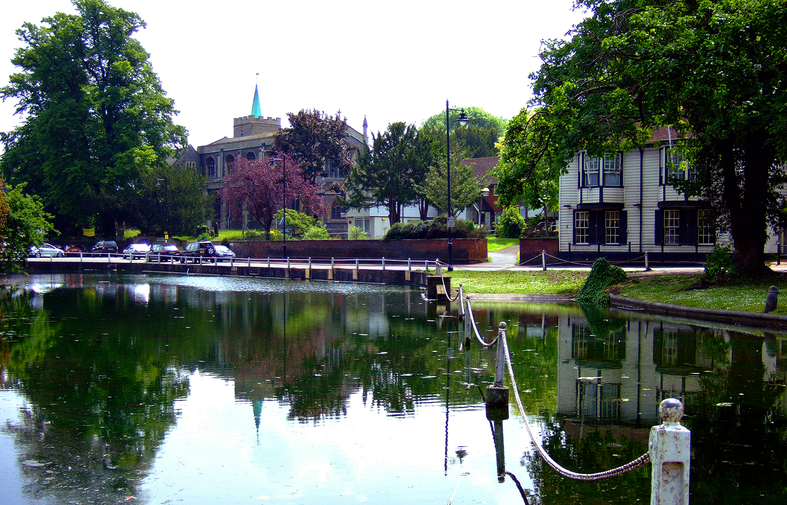
Waddon Ponds is an ornamental urban park / inland water in the western part of the London Borough of Croydon, by whom it is managed. It is bordered to the north by Mill Lane, and on the other three sides by Waddon Court Road, Court Drive and The Ridgeway. History Waddon Ponds is one of very few sites in Croydon where the River Wandle can be seen above ground. In nearby Wandle Park, Croydon, Wandle Park the Wandle can also be seen, released from its culvert in 2012. The ponds formed one of the sources of the river, which initially rises at South Croydon, and originally flowed north-west through the grounds of the Archbishops of Canterbury at Croydon Palace before reaching a millpond on the northern side of Mill Lane; opposite the current (2021) site of Waddon Ponds. The ponds themselves are fed by springs occurring at the junction of sand and chalk beds with London gravel beds. The area of the ponds was formerly part of an estate of some which included Waddon Court Farm and W ... [...More Info...] [...Related Items...] OR: [Wikipedia] [Google] [Baidu] |
Croydon Airport
Croydon Airport was the UK's only international airport during the interwar period. It opened in 1920, located near Croydon, then part of Surrey. Built in a Neoclassical architecture, Neoclassical style, it was developed as Britain's main airport, handling more cargo, mail, and passengers than any other UK airport at the time. Innovations at the site included the world's first air traffic control, the first airport terminal and the world's first airport hotel (the Gate Lodge, now the Aerodrome Hotel ). It was home to Britain's first national airline, Imperial Airways, founded through a government sponsored four-airline merger in 1924. During World War II the airport was named Royal Air Force, RAF Croydon as its role changed to that of a Fighter aircraft, fighter airfield during the Battle of Britain; and in 1943 RAF Transport Command was founded at the site, which used the airport to transport thousands of troops into and out of Europe. After the Second World War, its role re ... [...More Info...] [...Related Items...] OR: [Wikipedia] [Google] [Baidu] |
River Wandle
The River Wandle is a right-bank tributary of the River Thames in south London, England. With a total length of about , the river passes through the London boroughs of London Borough of Croydon, Croydon, London Borough of Sutton, Sutton, London Borough of Merton, Merton and London Borough of Wandsworth, Wandsworth, where it reaches the Thames. A short headwater – the Caterham Bourne – is partially in Surrey, the historic county of the river's catchment. Tributaries of the Wandle include Carshalton Ponds and Norbury Brook. The Wandle Trail follows the course of the river from Croydon to Wandsworth. Toponym The name is thought to derive from a back-formation of Wandsworth ( meaning Wendle's Enclosure). History and boundaries In the pleistocene before the carving of the River Mole#Mole Gap, Mole Gap, water lapped the north of the area between the North Downs and Greensand Hills known as the Vale of Holmesdale taking the Caterham or Coulsdon Bourne routes, to form the muc ... [...More Info...] [...Related Items...] OR: [Wikipedia] [Google] [Baidu] |
Croydon West (UK Parliament Constituency)
Croydon West is a borough constituency which returned one Member of Parliament (United Kingdom), Member of Parliament (MP) to the House of Commons of the United Kingdom, House of Commons of the Parliament of the United Kingdom from 1950 to 1955 by the first past the post system of election. Further to the completion of the 2023 Periodic Review of Westminster constituencies, the seat was re-established for the 2024 United Kingdom general election, 2024 general election. It primarily comprises the majority of the abolished constituency of Croydon North (UK Parliament constituency), Croydon North, with the addition of Croydon town centre and the community of Waddon. Constituency profile Croydon West covers Croydon itself, which is a major employment and retail centre, and the surrounding suburbs of Thornton Heath (part), Selhurst, South Norwood and Waddon. It is an ethnically diverse seat with incomes and house prices around average for the UK. Politics and history Croydon West ... [...More Info...] [...Related Items...] OR: [Wikipedia] [Google] [Baidu] |
Croydon
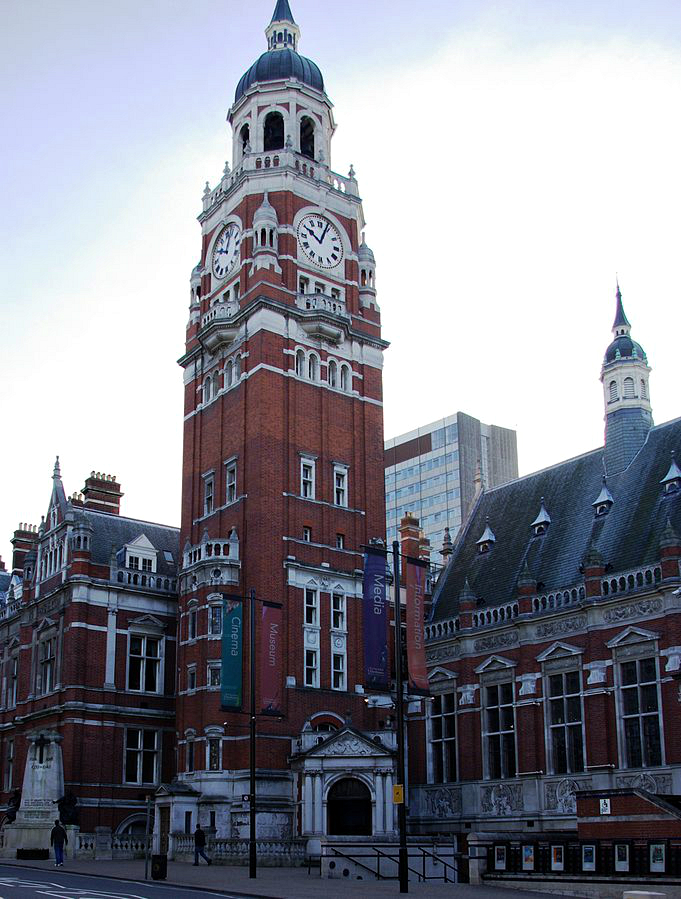
Croydon is a large town in South London, England, south of Charing Cross. Part of the London Borough of Croydon, a Districts of England, local government district of Greater London; it is one of the largest commercial districts in Greater London, with an extensive shopping area. The entire town had a population of 192,064 as of 2011, whilst the wider borough had a population of 384,837. Historically an ancient parish in the Wallington Hundred of Surrey, at the time of the Norman conquest of England Croydon had a church, a mill, and around 365 inhabitants, as recorded in the Domesday Book of 1086. Croydon expanded in the Middle Ages as a market town and a centre for charcoal production, leather tanning and brewing, with the brewing industry in particular remaining strong for hundreds of years. The Surrey Iron Railway from Croydon to Wandsworth opened in 1803 and was an early public railway. Later 19th century railway building facilitated Croydon's growth as a commuter town for L ... [...More Info...] [...Related Items...] OR: [Wikipedia] [Google] [Baidu] |
London Borough Of Croydon
The London Borough of Croydon () is a London borough, borough in South London, part of Outer London. It covers an area of and had a population of 397,741 as of mid-2023, making it the most populous London borough. It is London's southernmost borough. At its centre is the town of Croydon, from which the borough takes its name, while other Urban area, urban centres include Thornton Heath, Coulsdon, Purley, London, Purley, South Norwood, Norbury, New Addington, and Selsdon. Croydon is mentioned in the Domesday Book, and developed from a small market town into one of the most populous towns on the outskirts of London. The borough is now a significant business and cultural centre outside central London. Its contributions to entertainment and the arts have helped it gain recognition as a Metropolitan area, metropolitan centre. The borough was formed in 1965 from the merger of the County Borough of Croydon with Coulsdon and Purley Urban District, both of which had been in Surrey. Th ... [...More Info...] [...Related Items...] OR: [Wikipedia] [Google] [Baidu] |
Purley Way
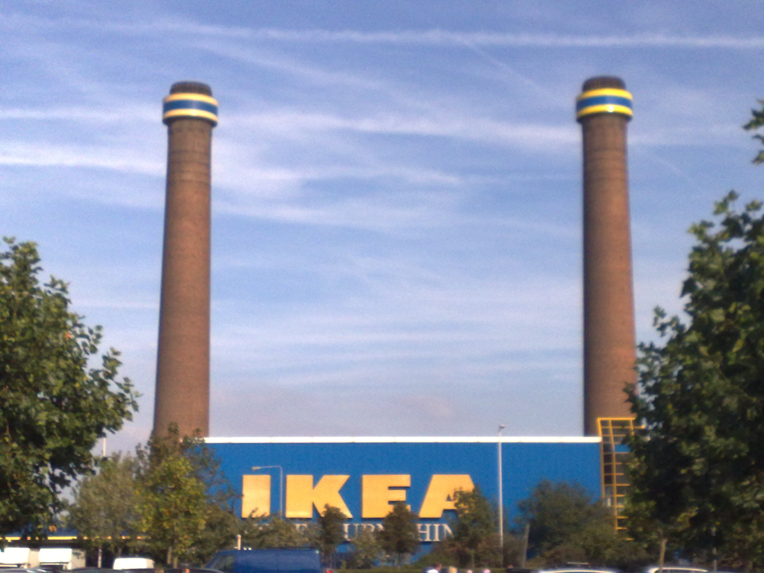
Purley Way is a section of the A23 trunk road in the London Borough of Croydon The London Borough of Croydon () is a London borough, borough in South London, part of Outer London. It covers an area of and had a population of 397,741 as of mid-2023, making it the most populous London borough. It is London's southernmost ..., in the areas of Purley, London, Purley, Waddon and Broad Green, London, Broad Green, and has given its name to the out-of-town shopping area alongside it with a catchment area (human geography), catchment area covering most of South London. It was designed as a Bypass (road), bypass for Croydon, and opened in April 1925. It was formed from improvements to pre existing local roads: from north to south, Waddon Marsh Lane, Waddon Court Road and Coldharbour Lane. (Thornton Road, the northern section of the bypass, was not renamed.) In 1932, Purley Way became the first road in the United Kingdom to be lit with Sodium vapor lamp, sodium lights. Industrial h ... [...More Info...] [...Related Items...] OR: [Wikipedia] [Google] [Baidu] |
Wandle Park, Croydon
Wandle Park is an park located in the Broad Green Ward of Croydon, south London, England. It was opened in 1890 by the Mayor of Croydon. The site is protected by Fields in Trust through a legal "Deed of Dedication" safeguarding the future of the space as public recreation land for future generations to enjoy. The River Wandle flows through the park. Between 1967 and 2012 this was in an underground culvert which was constructed by Croydon Council. The park used to contain a boating lake which dried up and was filled in. The park is used by many people and is popular with dog walkers, footballers, joggers, skateboarders and families. The park is easily accessible by public transport using Wandle Park tram stop. The park has a 'Friends Group' of local residents and park users that are working with Croydon Council to improve the park. Geology River terrace gravels make up the underlying geology of Wandle Park which is composed of succession Woolwich Beds and Reading Beds, T ... [...More Info...] [...Related Items...] OR: [Wikipedia] [Google] [Baidu] |
South London Pirates
The Croydon Pirates, known between 2012 and 2019 as the South London Pirates, is a British Baseball Federation, British baseball club based in South London. They have two diamonds in Roundshaw playing fields in London Borough of Sutton, Sutton, UK the main one being Dave Ward Field. Previously, Roundshaw and the Pirates have been hosts to the yearly London Tournament and on occasions the BBF's National Finals. From 2004 until 2017, the Pirates were made up of different teams competing at various levels including the National League, double-A, and single-A. Since 2020, the team has competed only at the Double-A (baseball), double-A level. History Early history The club was formed around 1980 by Eric Petrie and Pete Paulley, who had previously played for the Croydon Blue Jays. The first team played as the Croydon Borough Pirates and placed 3rd in the 1981 Southern England Baseball Association (Group B) division with a 5–11 record. For the 1989 season, the team was renamed ... [...More Info...] [...Related Items...] OR: [Wikipedia] [Google] [Baidu] |
London Borough Of Sutton
The London Borough of Sutton () is an Outer London London boroughs, borough in south London, England. It covers an area of and is the 80th largest local authority in England by population. It borders the London Borough of Croydon to the east, the London Borough of Merton to the north and the Royal Borough of Kingston upon Thames to the north-west; it also borders the Surrey boroughs of Epsom and Ewell to the west and Reigate and Banstead to the south. The local authority is Sutton London Borough Council. Its principal town is Sutton, London, Sutton. The borough has had some of the schools with the best results in the country. Low levels of recorded crime have been a feature of the borough, being among the lowest in Crime in London, London. The London Borough of Sutton was one of the four "vanguard areas" selected in 2010 for the Big Society initiative. History The area of the modern borough broadly corresponds to the five ancient parishes of Beddington, Carshalton, Cheam, Su ... [...More Info...] [...Related Items...] OR: [Wikipedia] [Google] [Baidu] |
A23 Road
The A23 road is a major road in the United Kingdom between London and Brighton, East Sussex, England. It is managed by Transport for London for the section inside the Greater London boundary, Surrey County Council and West Sussex County Council for the section shadowed by the M23 motorway, National Highways (as a trunk road) between the M23 and Patcham, and by Brighton and Hove Council from the A27 to the centre of Brighton. The road has been a major route for centuries, and seen numerous upgrades, bypasses and diversions. Route The A23 begins near Lambeth North tube station. Formerly, it started as ''Westminster Bridge Road'' near Waterloo station, but this is now part of the A302. Almost immediately it turns south; the straightness of much of the heading south shows its Roman origins. The road becomes: * Kennington Road: long; near Kennington Park it joins the A3 (''Kennington Park Road''), but soon bears south again, becoming in turn over the next : * Bri ... [...More Info...] [...Related Items...] OR: [Wikipedia] [Google] [Baidu] |
Purley, London
Purley is an area of the London Borough of Croydon in London, England, south of Charing Cross, with a history going back at least 800 years. It was originally granted as an estate from holdings at Sanderstead and until as a district of Surrey and then, with neighbouring Coulsdon, as an urban district that became an Ward (electoral subdivision), electoral ward of the London Borough of Croydon, becoming part of the ceremonial county of London, in 1965. In 2018 the Purley ward was divided into two: Purley & Woodcote (ward), Purley and Woodcote, and Purley Oaks & Riddlesdown (ward), Purley Oaks and Riddlesdown. Purley is a suburban area of South London, and the quintessential suburban environment has been referenced in fictional and popular culture, most notably as the setting for the long running ''Terry and June'' sitcom. Purley had a population of 15,184 in 2022. History Toponymy The name derives from an estate, mentioned in about 1200 when it was deeded to one William de Pire ... [...More Info...] [...Related Items...] OR: [Wikipedia] [Google] [Baidu] |
