|
Upper Mount Gravatt, Queensland
Upper Mount Gravatt is a southern suburb in the City of Brisbane, Queensland, Australia. In the , Upper Mount Gravatt had a population of 9,241 people. Geography Upper Mount Gravatt is south of Mount Gravatt. It has increasingly become an important centre in the last 15 years. Logan Road and the Pacific Motorway run through the area, in addition to the South-East Busway. Together with Indooroopilly in the west, Chermside, on the north-side, and Carindale in the southeast the suburb has been described as a mini-Central business district (CBD). It contains the State Netball Centre, a major police district station and a regional Australian Taxation Office. Upper Mount Gravatt has long been one of the major centres outside the CBD, especially for those who reside on the south of the city. Westfield Garden City, a major shopping centre, is a regional "hub", containing services and popular restaurants, with a bus interchange and the Upper Mount Gravatt Busway Station immediate ... [...More Info...] [...Related Items...] OR: [Wikipedia] [Google] [Baidu] |
AEST
Australia uses three main time zones: Australian Western Standard Time (AWST; UTC+08:00), Australian Central Standard Time (ACST; UTC+09:30), and Australian Eastern Standard Time (AEST; UTC+10:00). Time is regulated by the individual state governments, some of which observe daylight saving time (DST). Australia's external territories observe different time zones. Standard time was introduced in the 1890s when all of the Australian colonies adopted it. Before the switch to standard time zones, each local city or town was free to determine its local time, called local mean time. Now, Western Australia uses Western Standard Time; South Australia and the Northern Territory use Central Standard Time; while New South Wales, Queensland, Tasmania, Victoria (Australia), Victoria, Jervis Bay Territory, and the Australian Capital Territory use Eastern Standard Time. Daylight saving time (+1 hour) is used in jurisdictions in the south and south-east: South Australia, New South Wales, Vict ... [...More Info...] [...Related Items...] OR: [Wikipedia] [Google] [Baidu] |
Pacific Motorway (Brisbane–Brunswick Heads)
The Pacific Motorway is a motorway in Australia between Brisbane, Queensland, and Brunswick Heads, New South Wales, through the New South Wales–Queensland border at Tweed Heads. The motorway starts at Coronation Drive at Milton in Brisbane, The Brisbane city section of the motorway is often referred to by its former name, the Riverside Expressway. The motorway is about long, and features eight traffic lanes with a speed limit between the M6 Logan Motorway and Smith Street Motorway and generally six or four lanes at on other sections. The motorway passes through the major tourist region of the Gold Coast, the destination for most of the vehicular traffic from Brisbane. More than A$2 billion was spent on the motorway between 1990 and 1998, including widening the road and safety measures. The motorway passes Gold Coast attractions such as Warner Bros. Movie World, Wet'n'Wild Water World, and Dreamworld (Australian theme park), Dreamworld, which are among the most popular th ... [...More Info...] [...Related Items...] OR: [Wikipedia] [Google] [Baidu] |
Sisters Of St Joseph Of The Sacred Heart
The Sisters of St Joseph of the Sacred Heart, often called the Josephites or Brown Joeys, are a Catholic religious order founded by Saint Mary MacKillop (1842–1909). Members of the congregation use the postnominal initials RSJ (Religious Sisters of St Joseph). The order was founded in Penola, South Australia, in 1866 by Mary MacKillop and the Rev. Julian Tenison Woods. The centre of the congregation is at Mary MacKillop Place, Mount Street, North Sydney, New South Wales, where Saint Mary MacKillop's tomb is enshrined in the Mary MacKillop Memorial Chapel. At present there are around 850 sisters living and working throughout Australia (in all states except Tasmania) and New Zealand], as well as in Ireland and Peru. The current congregational leader of the Josephites is Sr Monica Cavanagh. Besides the main centre at North Sydney, the Josephites, who were named after Saint Joseph, have "Mary MacKillop Centres" at Penola, South Australia; the Adelaide suburb of Kensington, S ... [...More Info...] [...Related Items...] OR: [Wikipedia] [Google] [Baidu] |
Queensland Family History Society
The Queensland Family History Society (QFHS) is an incorporated association formed in Brisbane, Queensland, Australia. History The society was established in 1979 as a non-profit, non-sectarian, non-political organisation. They aim to promote the study of family history local history, genealogy, and heraldry, and encourage the collection and preservation of records relating to the history of Queensland families. At the end of 2022, the society relocated from 58 Bellevue Avenue, Gaythorne Gaythorne is a suburb in the City of Brisbane, Queensland, Australia. In the , Gaythorne had a population of 3,023 people. Geography Gaythorne is located seven kilometres north-west of the Brisbane central business district. It is bounded to ... () to its new QFHS Family History Research Centre at 46 Delaware Street, Chermside (). References External links * Non-profit organisations based in Queensland Historical societies of Australia Libraries in Brisbane Family hist ... [...More Info...] [...Related Items...] OR: [Wikipedia] [Google] [Baidu] |
Upper Mount Gravatt Busway Station, Brisbane
Upper Mount Gravatt busway station is located in Brisbane, Australia serving the suburb of Upper Mount Gravatt. It opened on 30 April 2001 when the South East Busway was extended from Woolloongabba to Eight Mile Plains. It was built beneath the existing Garden City bus station at Westfield Garden City. It is served by 10 routes operated by Brisbane Transport, Clarks Logan City Bus Service, Mt Gravatt Bus Service and Transdev Queensland Transdev Queensland Bus is an Australian operator of bus services in the Redland City region of Brisbane. It operates 31 services under contract to the Government of Queensland under the TransLink banner. It is a subsidiary of Transdev Austral ... as part of the TransLink network. References External links * Upper Mount Gravatt stationTransLink {{Navbox South East Busway, Brisbane, state=collapsed Bus stations in Brisbane Transport infrastructure completed in 2001 ... [...More Info...] [...Related Items...] OR: [Wikipedia] [Google] [Baidu] |
Westfield Garden City
Westfield Mt Gravatt (formerly Westfield Garden City, prior to that simply Garden City, and always commonly known as Garden City) is one of Brisbane's major shopping centres, located in the suburb of Upper Mount Gravatt in Queensland, Australia. The centre carries the affectionate slang name of Garbo and is operated by Westfield. Previously the centre was operated by AMP Limited before the takeover in 2003. The shopping centre currently has 470 specialty stores, cafes, restaurants and other services and food vendors. Within the centre iUpper Mount Gravatt Post ShopanGarden City Library Another notable feature of Garden City is the Town Square, which is an outdoor dining area featuring coffee shops, restaurants and an Event Cinemas complex. On 8 August 2022, the centre was renamed Westfield Mt Gravatt to better reflect its location, although the centre is not in the suburb of Mount Gravatt (which is approximately 2km to the north) but in the suburb of Upper Mount Gravatt. Hi ... [...More Info...] [...Related Items...] OR: [Wikipedia] [Google] [Baidu] |
Australian Taxation Office
The Australian Taxation Office (ATO) is an Australian statutory agency and the principal revenue collection body for the Australian Government. The ATO has responsibility for administering the Australian federal taxation system, superannuation legislation, and other associated matters. Responsibility for the operations of the ATO are within the portfolio of the Treasurer of Australia and the Treasury. As the Australian government's principal revenue collection body, the ATO collects income tax, goods and services tax (GST) and other federal taxes. The ATO also has responsibility for managing the Australian Business Register, delivering the Higher Education Loan Program, delivering many Australian government payments and administering key components of Australia's superannuation system. History During the colonial period of the 1800s, a number of landholders had secured large tracts of arable land in Australia. After the states federated in 1901 to form the Commonwealth ... [...More Info...] [...Related Items...] OR: [Wikipedia] [Google] [Baidu] |
Police
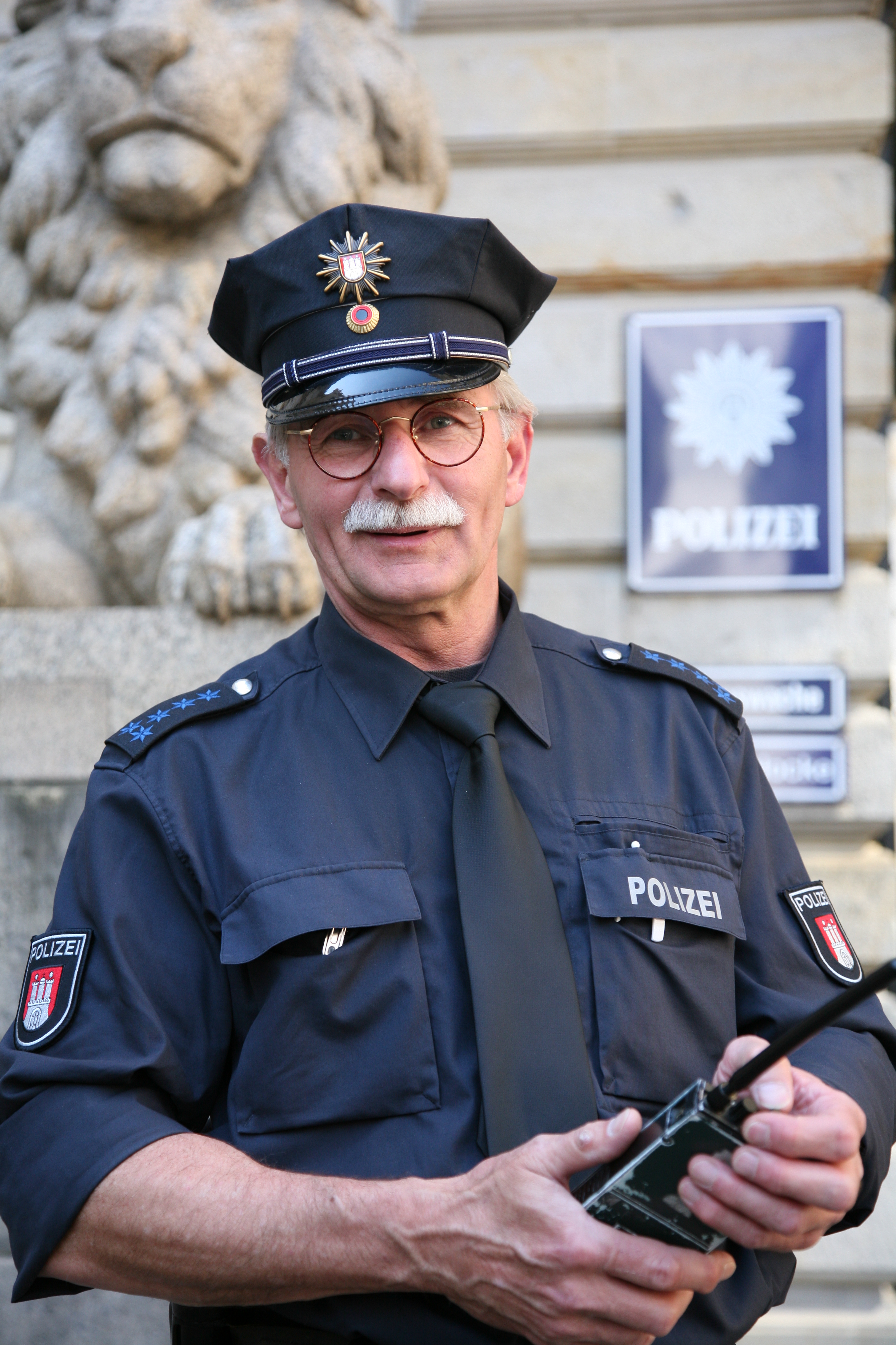
The police are a constituted body of persons empowered by a state, with the aim to enforce the law, to ensure the safety, health and possessions of citizens, and to prevent crime and civil disorder. Their lawful powers include arrest and the use of force legitimized by the state via the monopoly on violence. The term is most commonly associated with the police forces of a sovereign state that are authorized to exercise the police power of that state within a defined legal or territorial area of responsibility. Police forces are often defined as being separate from the military and other organizations involved in the defense of the state against foreign aggressors; however, gendarmerie are military units charged with civil policing. Police forces are usually public sector services, funded through taxes. Law enforcement is only part of policing activity. Policing has included an array of activities in different situations, but the predominant ones are concerned with the pre ... [...More Info...] [...Related Items...] OR: [Wikipedia] [Google] [Baidu] |
Central Business District
A central business district (CBD) is the commercial and business centre of a city. It contains commercial space and offices, and in larger cities will often be described as a financial district. Geographically, it often coincides with the "city centre" or "downtown". However, these concepts are not necessarily synonymous: many cities have a central ''business'' district located away from its commercial and or cultural centre and or downtown/city centre, and there may be multiple CBDs within a single urban area. The CBD will often be characterised by a high degree of accessibility as well as a large variety and concentration of specialised goods and services compared to other parts of the city. For instance, Midtown Manhattan, New York City, is the largest central business district in the city and in the United States. London's city centre is usually regarded as encompassing the historic City of London and the medieval City of Westminster, while the City of London and the transform ... [...More Info...] [...Related Items...] OR: [Wikipedia] [Google] [Baidu] |
Carindale, Queensland
Carindale is a suburb of the City of Brisbane, Queensland, Australia. It is located by road south-east of the Brisbane GPO, and borders Belmont, Carina, Carina Heights, Mackenzie, Mansfield, Mount Gravatt East, and Tingalpa. In the , Carindale recorded a population of 15,740 people. Notable features of the suburb include a large shopping centre – Westfield Carindale, the Pacific Golf Club, Belmont State School, Belmont Bushland Reserve, Belmont Private Hospital (psychiatric only) and Bulimba Creek. The Gateway Motorway borders the suburb. In addition to Indooroopilly in the west; Chermside on the north-side; and Upper Mount Gravatt on the south side, the suburb has been described as a mini- CBD. Toponymy Carindale was the name of a housing estate constructed in the area in 1976, and was taken as the official name of the suburb when it separated from Belmont in 1980. The name itself is a combination of "Carin" from the nearby suburb of Carina, and " dale" meaning valley ... [...More Info...] [...Related Items...] OR: [Wikipedia] [Google] [Baidu] |
Chermside, Queensland
Chermside is a suburb in the City of Brisbane, Queensland, Australia. In the , Chermside had a population of 9,315 people. The suburb is situated by road north of the Brisbane CBD. It is home to a large Westfield shopping centre. Geography Chermside is a key destination along Queensland Transport's future Northern Busway, and home to Westfield Chermside, the largest Westfield shopping centre in Australia, with a three-storey Myer and a 16 screen cinema complex. History The Chermside area was first settled by Europeans in the late 19th century. The first plot of land was sold on 23 May 1866, and the population has progressively increased since with a significant increase with the post-war residential development. When the Gympie goldrush started in 1867, many travellers heading north would run into trouble at a creek in present-day Chermside. Because of this waterway, Chermside was first known as Downfall Creek. In November 1868 Cobb & Co. stagecoaches began to travel th ... [...More Info...] [...Related Items...] OR: [Wikipedia] [Google] [Baidu] |


.jpg)
.jpg)